Smooth Knoll Road

Total Miles14.4
Technical Rating
1Easy
Best TimeSpring, Summer, Fall
Trail TypeFull-Width Road
Accessible By
Open Trail Map

Trail Overview

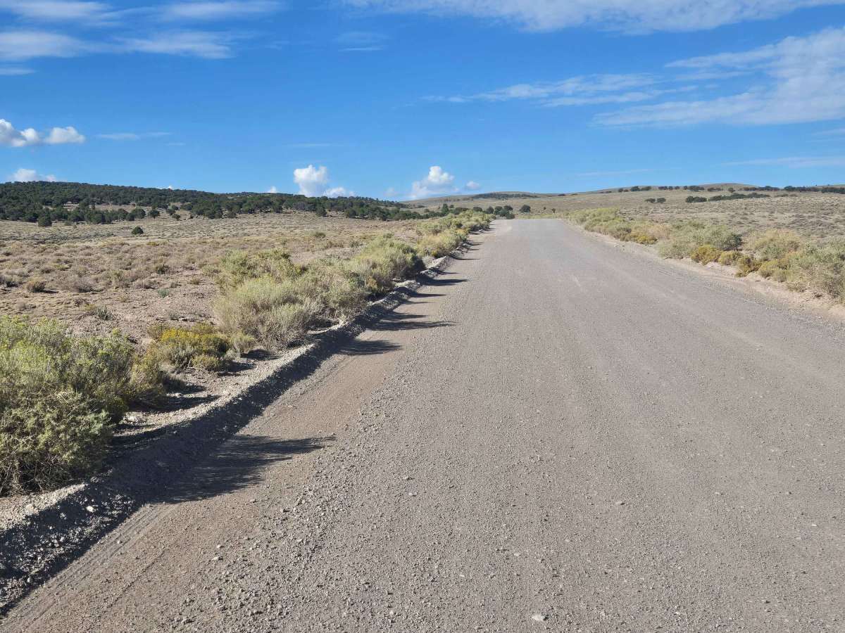
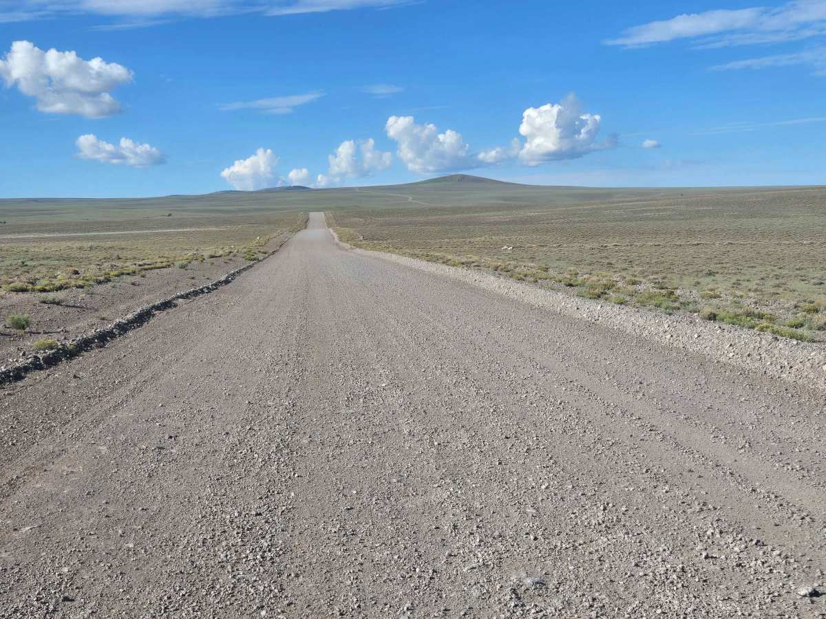
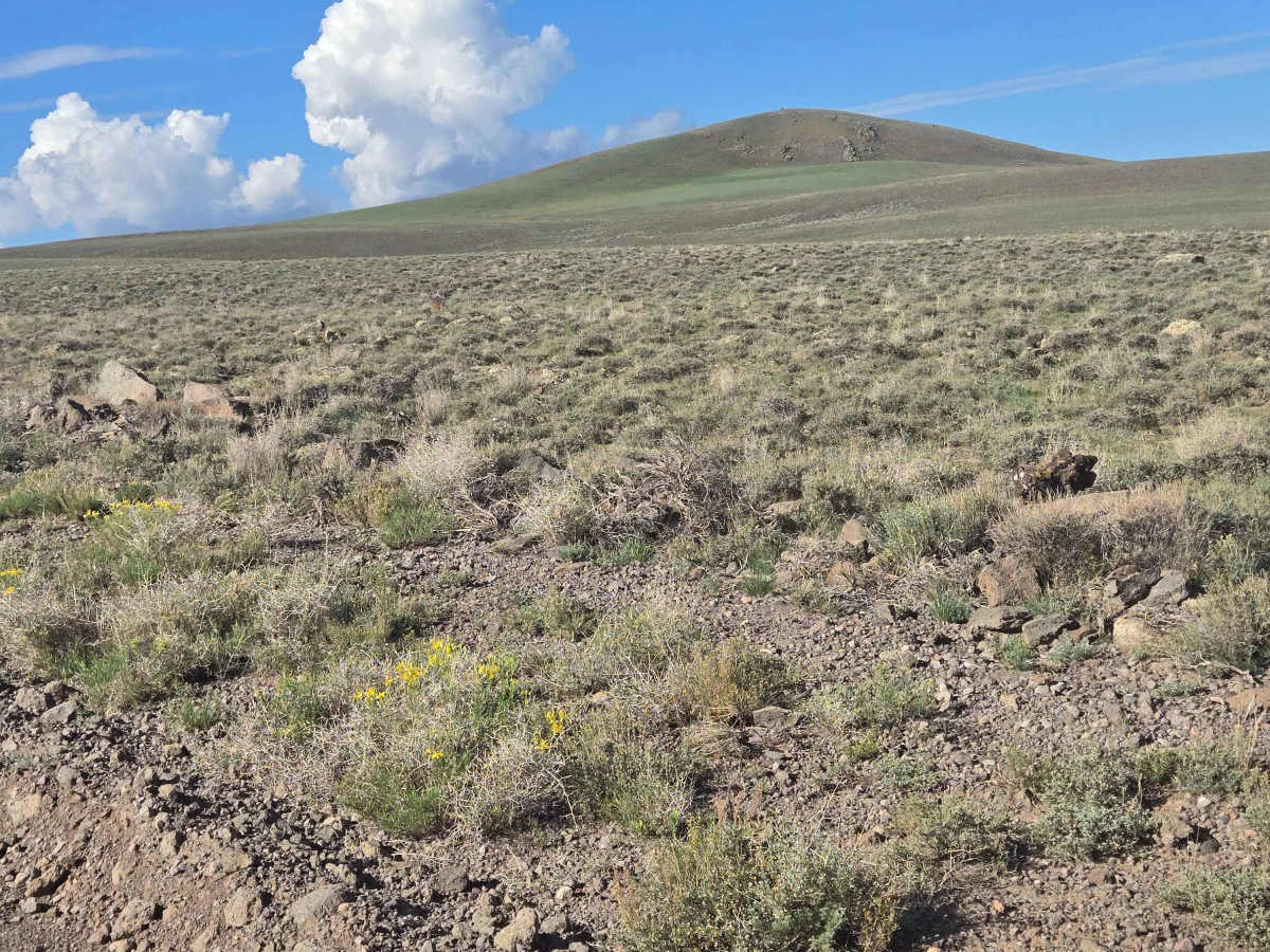
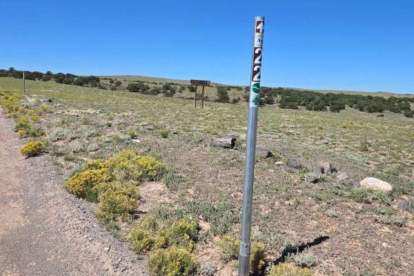
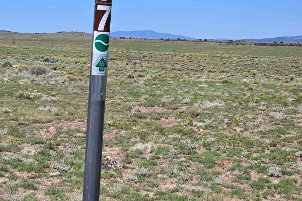
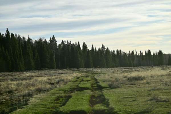
This is an easy trail, well graded and well maintained. You will travel from 7870 feet in elevation to 9886 feet elevation, where this meets the Great Western Trail. You will be mostly in a high grassy plain, but you will pass groves of trees to the side of the trail. As you head south, this trail becomes the Aquarius-Teasdale Trail - FS 30154.

Photos of Smooth Knoll Road

Difficulty

This is a well-maintained trail; there are no obstacles on this trail. It might flood in places in inclement weather.

Technical Rating

1

Smooth Knoll Road Trail can be accessed by the following ride types:

  • Single Track
  • 50 Inch
  • 60 Inch
  • High Clearance
  • Full Width

Smooth Knoll Road Map

The onX Offroad Difference

onX Offroad combines trail photos, descriptions, difficulty ratings, width restrictions, seasonality, and more in a user-friendly interface. Available on all devices, with offline access and full compatibility with CarPlay and Android Auto. Discover what you're missing today!

Open Trail Map