
Dirt Bike Trails
Near St. Augustine South, Florida
Explore All Dirt Bike Trails Near St. Augustine South, Florida
Dirt Bike Trails Near St. Augustine South, Florida
Discover the best dirt bike trails near you. Browse trail maps, check difficulty ratings, and find your next adventure — whether you're looking for a quick ride or an all-day expedition.
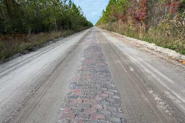
Old Brick Road (Old Dixie Highway)
Citrus WMA Trail 11B, identified as Forest Road 11B on Florida Forest Service maps, is a 2.6-mile, full-width 4WD route in the Citrus Tract of Withlacoochee State Forest near Inverness, Florida. The trail connects with West Stage Coach Trail and provides access to the Citrus Wildlife Management Area...
Learn more about Old Brick Road (Old Dixie Highway)
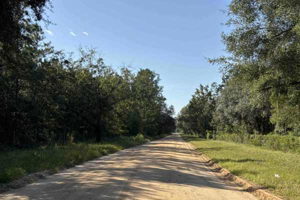
Old Starke Road
Old Starke Road is an old country road that takes you from County Road 309D to the eastern part of the Etoniah Creek State Forest. It's another way to explore the area. The road conditions are a mixture of packed sand, loose sand, and some deep holes that can turn into 2-foot deep mud holes after ra...
Learn more about Old Starke Road
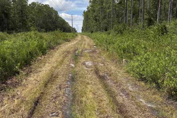
South Powerline Road
South Powerline Road takes you from the southeast part to the southwest part of the Etoniah Creek State Forest. It connects East V Road and Halloway Road. The road conditions are a mixture of packed sand, loose sand, and some deep holes that can turn into 2-foot deep mud holes after rainy days. The ...
Learn more about South Powerline Road
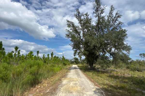
Quail Road
Quail Road connects Fieldhouse Road and Halloway Road in the eastern part of the Etoniah Creek State Forest. The road conditions are a mixture of packed sand, loose sand, and some deep holes that can turn into 2-foot deep mud holes after rainy days. The road is not always wide enough for two vehicle...
Learn more about Quail Road
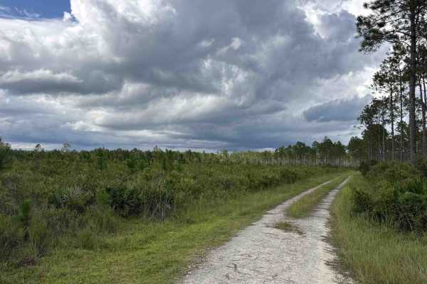
Fire Road
Fire Road is a loop road that starts and ends at East V Road in the eastern part of the Etoniah Creek State Forest. The road conditions are a mixture of packed sand, loose sand, and some deep holes that can turn into 2-foot deep mud holes after rainy days. The road is not always wide enough for two ...
Learn more about Fire Road
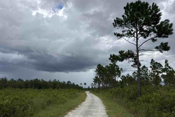
East V Road
East V Road takes you from State Route 100 at the south end of the trail into the east part of the Etoniah Creek State Forest. The road conditions are a mixture of packed sand, loose sand, and some deep holes that can turn into 2-foot deep mud holes after rainy days. The road is not always wide enou...
Learn more about East V Road
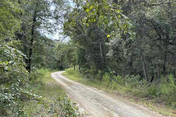
North Creek Road
North Creek Road connects Fieldhouse Road and Quail Road in the eastern part of the Etoniah Creek State Forest. The road conditions are a mixture of packed sand, loose sand, and some deep holes that can turn into 2-foot deep mud holes after rainy days. The road is not always wide enough for two vehi...
Learn more about North Creek Road
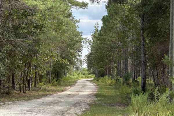
Fieldhouse Road
Fieldhouse Road takes you from Halloway Road at the west end and North Creek Road at the east end of the trail in the eastern part of the Etoniah Creek State Forest. The trail gives you access to the only restrooms in the Wildlife Management Area (WMA), the staging area to access the 10-mile horseba...
Learn more about Fieldhouse Road
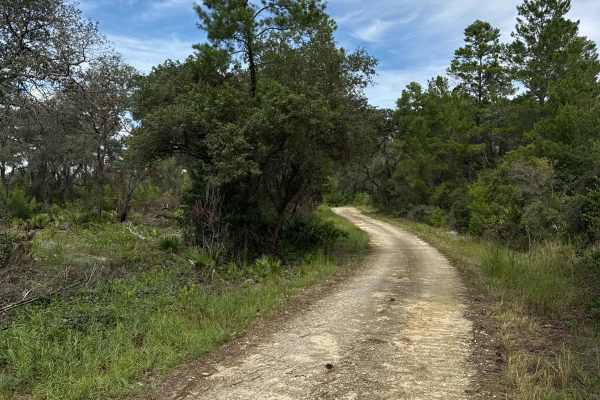
Scrub Road
Scrub Road takes you from Halloway Road at the south end to Tinsley Road at the north end of the trail in the northeast part of the Etoniah Creek State Forest. The road conditions are a mixture of packed sand, loose sand, and some deep holes that can turn into 2-foot deep mud holes after rainy days....
Learn more about Scrub Road
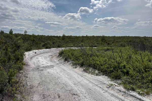
Cablegate Road
Cablegate Road is a loop that starts and ends at Halloway Road in the north-west part of the Etoniah Creek State Forest. The trail gives you access to several hiking trails and crosses the 10-mile horseback riding trail several times. The road conditions are a mixture of packed sand, loose sand, and...
Learn more about Cablegate Road
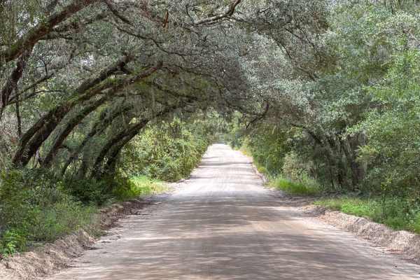
Halloway Road
Halloway Road connects State Route 100 at the south end of the trail and Tinsley Road at the north end. It takes you through the Etoniah Creek State Forest and gives you access to several trails, hiking trails, and the 10-mile horseback riding trail. The road conditions are a mixture of packed sand,...
Learn more about Halloway Road
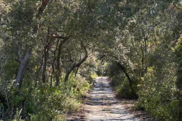
Cemetery Road
Cemetery Road takes you from Cablegate Road at the south end and Easy Street at the north end of the trail in the northwest part of the Etoniah Creek State Forest. The trail gives you access to several trails, hiking trails, and crosses the 10-mile horseback riding trail several times. The road cond...
Learn more about Cemetery Road
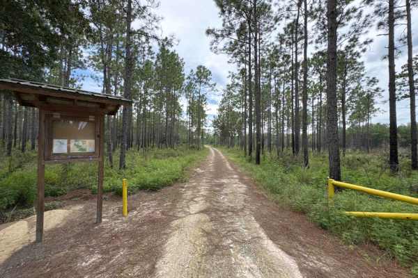
Tinsley Road
Tinsley Road takes you from Coral Farms Road at the west end to Halloway Road at the east end of the trail in the north part of the Etoniah Creek State Forest. The trail gives you access to the north entrance of the Wildlife Management Area and George Lake's Nature Trail. The road conditions are a m...
Learn more about Tinsley Road
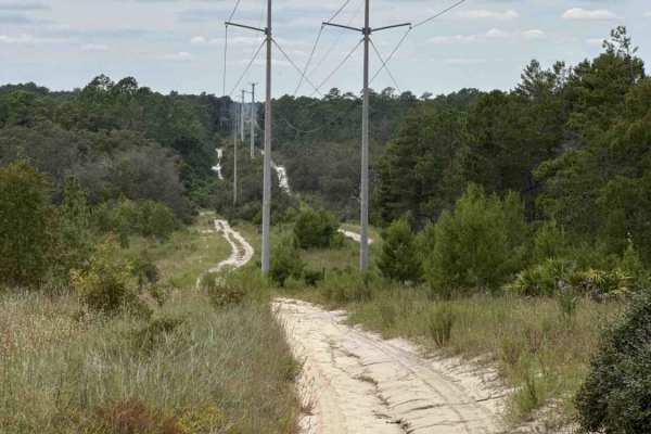
Tinsley Powerline Road
Tinsley Powerline Road takes you from Halloway Road at the east end to Coral Farms Road at the west end of the trail in the northwest part of the Etoniah Creek State Forest. The road conditions are a mixture of packed sand, loose sand, and some deep holes that can turn into 3 to 4-foot deep mud hole...
Learn more about Tinsley Powerline Road
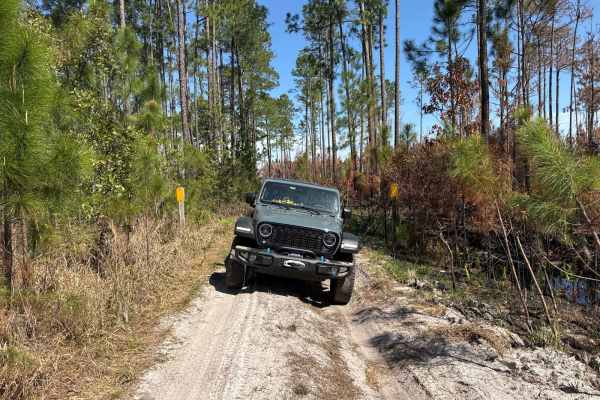
East River Road - ONF 74
The East River Road, also known as Ocala National Forest Road 74, connects US 19 at the north end and Northcross trail at the south end in the North Part of the ONF. The trail runs next to the Little Lake George Wilderness Area and is known for being flooded. The road conditions are a mixture of pac...
Learn more about East River Road - ONF 74
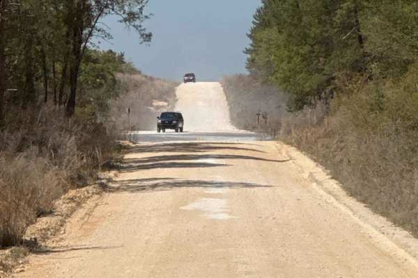
North Cross - ONF 66
North Cross, also known as Ocala National Forest Road 66, is a 16 miles long trail that takes you all the way from NE 160th Ave Rd on the west end to the Fort Gates Ferry Road at the east end. Please be aware that the trail becomes very difficult east of Neck Trail (ONF 41). The trail takes you to t...
Learn more about North Cross - ONF 66
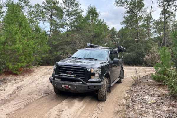
River Road Turn Around
River Road Turn Around is a sandy narrow trail that is sure to leave pinstriping. We were determined to make it to Fort Gates after turning around at one impassable water crossing at Old River Road and again at the overgrown trail of North Cross to Nowhere. We turned right off Old River Road onto Fo...
Learn more about River Road Turn Around
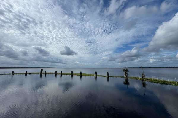
Kirkpatrick Dam Trail
The Kirkpatrick Dam Trail takes you to the Kirkpatrick Dam Boat Ramp and the Recreation Area with picnic tables, restrooms, and a fishing pier. The road conditions are a mixture of packed sand, loose sand, and deep holes that can turn into 2 feet deep mud holes after rainy days. The road is always w...
Learn more about Kirkpatrick Dam Trail

Longleaf Trail
The Longleaf Trail, located in the heart of the Ocala National Forest, offers 25 miles of exhilarating off-road experience for all riders. Beginning at the Rodman OHV Trailhead and extending southward, this trail promises adventure amidst nature's beauty. Access to the trail is also available at the...
Learn more about Longleaf Trail
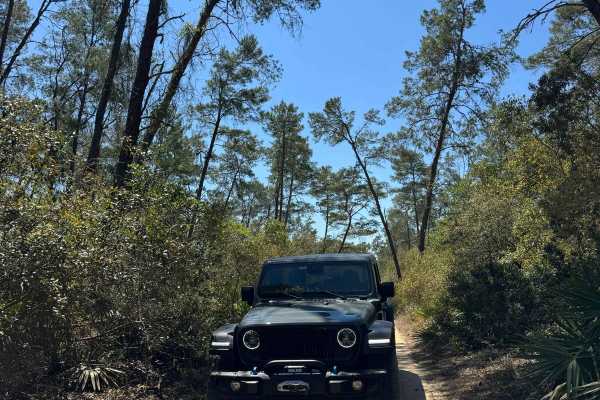
Neck - ONF 41
The Neck Trail, also known as Ocala National Forest Road 41, connects North Cross at the north end and Fort Gates Ferry Road at the south end in the North Part of the ONF. The trail is a shortcut to avoid the narrow part of the North Cross trail. The road conditions are a mixture of packed sand, loo...
Learn more about Neck - ONF 41
ATV trails near St. Augustine South, Florida
Explore ATV-friendly trails near you. These trails are accessible for vehicles up to 50 inches wide, perfect for ATVs and smaller off-road machines.
Old Brick Road (Old Dixie Highway)
Citrus WMA Trail 11B, identified as Forest Road 11B on Florida Forest Service maps, is a 2.6-mile, full-width 4WD route in the Citrus Tract of Withlacoochee State Forest near Inverness, Florida. The trail connects with West Stage Coach Trail and provides access to the Citrus Wildlife Management Area...
Learn more about Old Brick Road (Old Dixie Highway)
Old Starke Road
Old Starke Road is an old country road that takes you from County Road 309D to the eastern part of the Etoniah Creek State Forest. It's another way to explore the area. The road conditions are a mixture of packed sand, loose sand, and some deep holes that can turn into 2-foot deep mud holes after ra...
Learn more about Old Starke Road
East River Road - ONF 74
The East River Road, also known as Ocala National Forest Road 74, connects US 19 at the north end and Northcross trail at the south end in the North Part of the ONF. The trail runs next to the Little Lake George Wilderness Area and is known for being flooded. The road conditions are a mixture of pac...
Learn more about East River Road - ONF 74
North Cross - ONF 66
North Cross, also known as Ocala National Forest Road 66, is a 16 miles long trail that takes you all the way from NE 160th Ave Rd on the west end to the Fort Gates Ferry Road at the east end. Please be aware that the trail becomes very difficult east of Neck Trail (ONF 41). The trail takes you to t...
Learn more about North Cross - ONF 66
UTV/side-by-side trails near St. Augustine South, Florida
Find UTV and side-by-side trails near you. These trails accommodate vehicles up to 60 inches wide, ideal for UTVs, side-by-sides, and wider off-road rigs.
Old Brick Road (Old Dixie Highway)
Citrus WMA Trail 11B, identified as Forest Road 11B on Florida Forest Service maps, is a 2.6-mile, full-width 4WD route in the Citrus Tract of Withlacoochee State Forest near Inverness, Florida. The trail connects with West Stage Coach Trail and provides access to the Citrus Wildlife Management Area...
Learn more about Old Brick Road (Old Dixie Highway)
Old Starke Road
Old Starke Road is an old country road that takes you from County Road 309D to the eastern part of the Etoniah Creek State Forest. It's another way to explore the area. The road conditions are a mixture of packed sand, loose sand, and some deep holes that can turn into 2-foot deep mud holes after ra...
Learn more about Old Starke Road
South Powerline Road
South Powerline Road takes you from the southeast part to the southwest part of the Etoniah Creek State Forest. It connects East V Road and Halloway Road. The road conditions are a mixture of packed sand, loose sand, and some deep holes that can turn into 2-foot deep mud holes after rainy days. The ...
Learn more about South Powerline Road
Quail Road
Quail Road connects Fieldhouse Road and Halloway Road in the eastern part of the Etoniah Creek State Forest. The road conditions are a mixture of packed sand, loose sand, and some deep holes that can turn into 2-foot deep mud holes after rainy days. The road is not always wide enough for two vehicle...
Learn more about Quail Road
The onX Offroad Difference
onX Offroad combines trail photos, descriptions, difficulty ratings, width restrictions, seasonality, and more in a user-friendly interface. Available on all devices, with offline access and full compatibility with CarPlay and Android Auto. Discover what you're missing today!
Open Trail Map