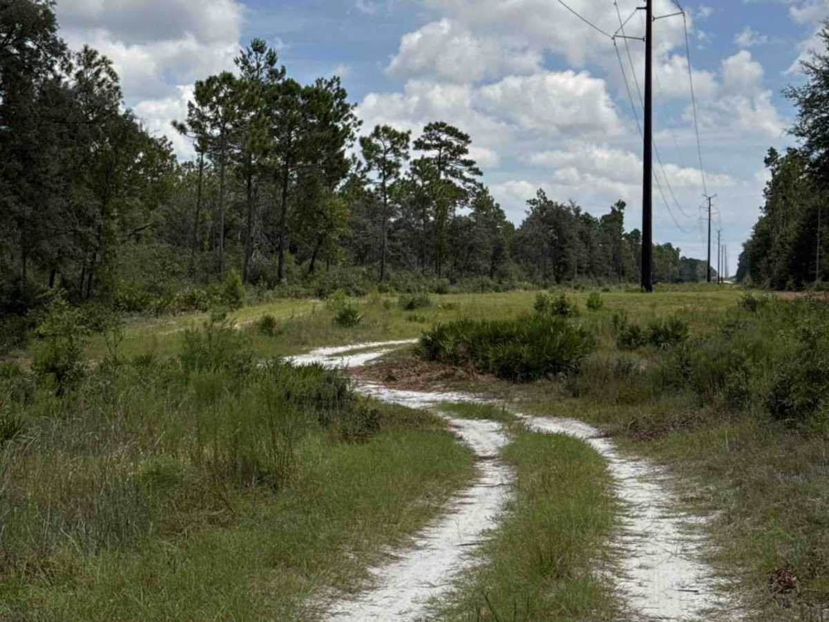
Trail Overview
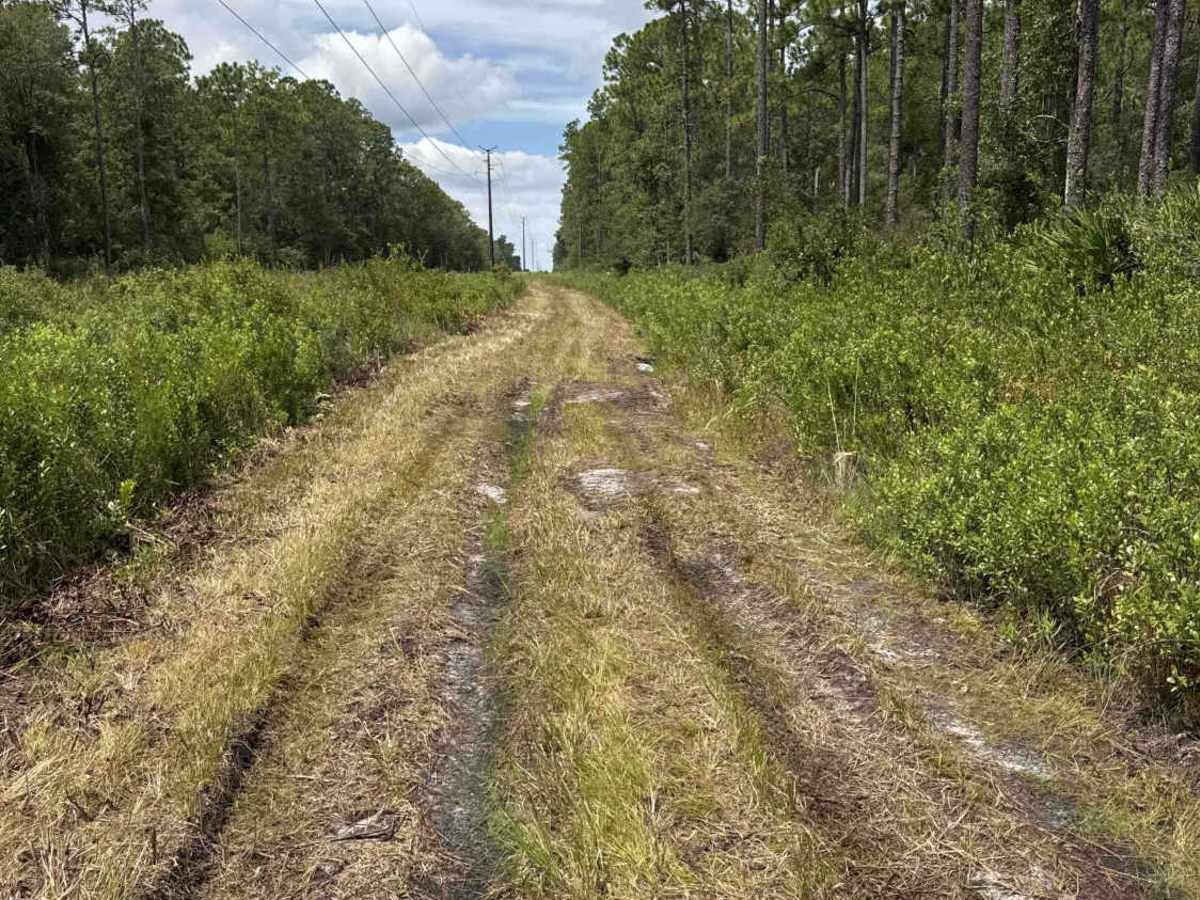
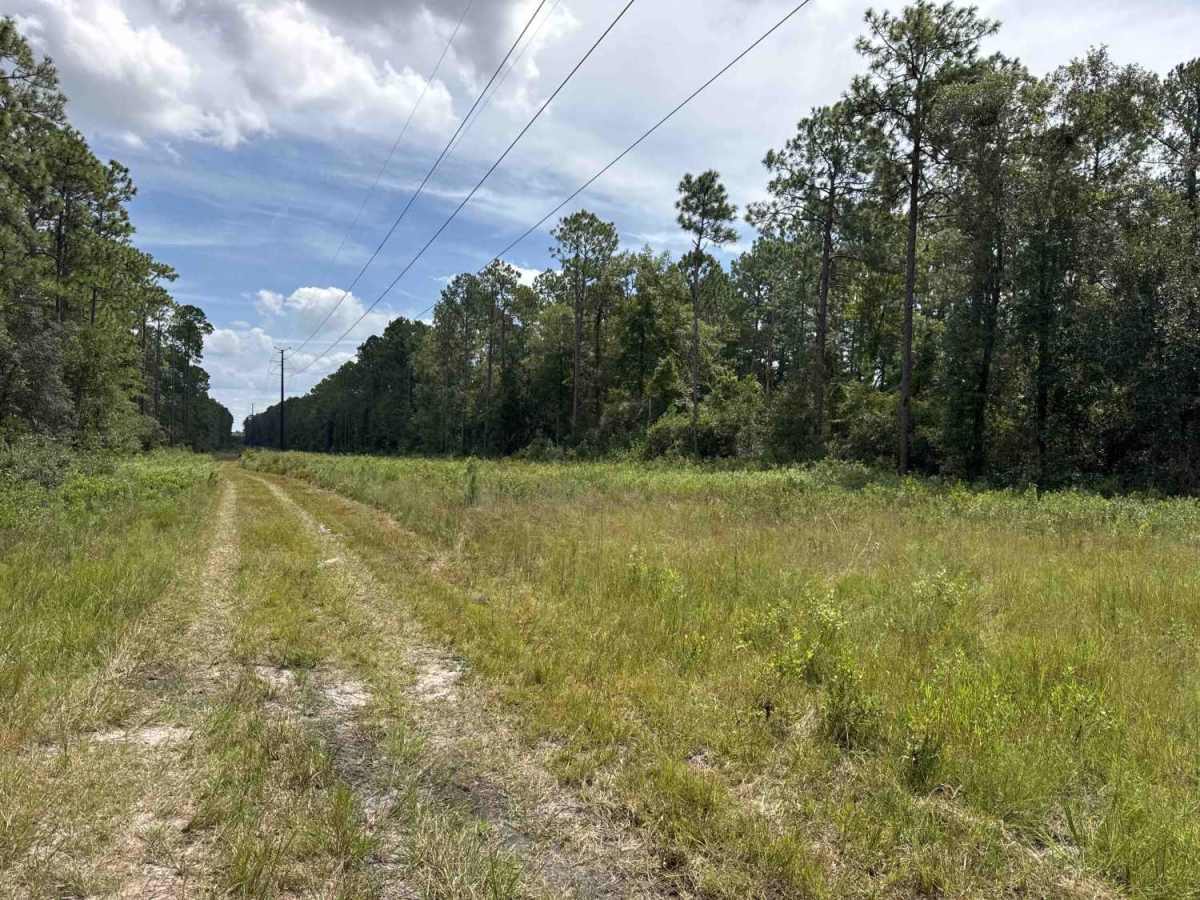
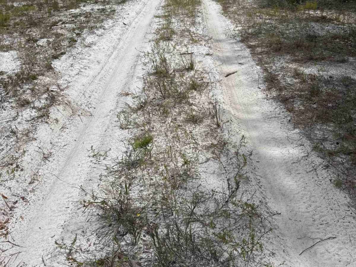
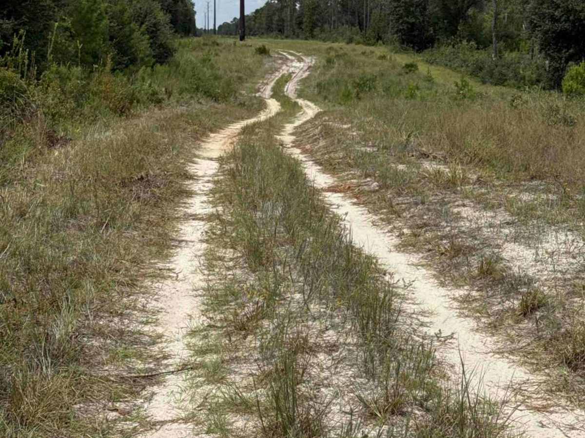
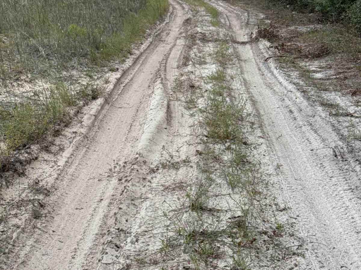
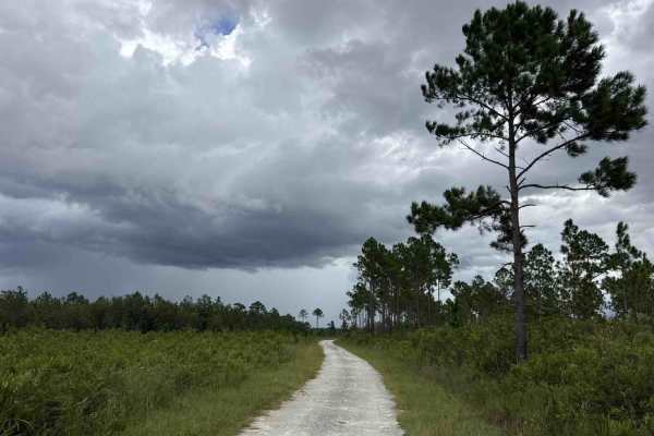
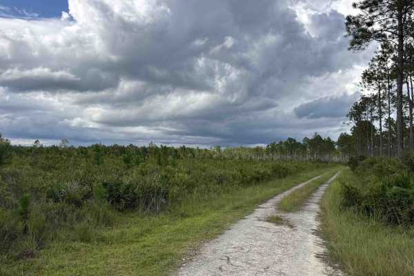
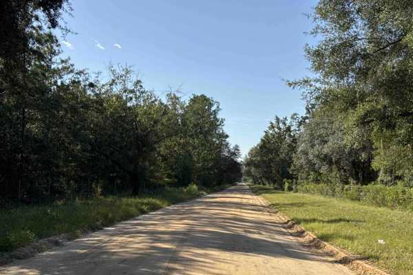
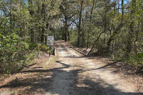
South Powerline Road takes you from the southeast part to the southwest part of the Etoniah Creek State Forest. It connects East V Road and Halloway Road. The road conditions are a mixture of packed sand, loose sand, and some deep holes that can turn into 2-foot deep mud holes after rainy days. The road is not always wide enough for two vehicles to pass, and it gets technically challenging east of East V Road. 4WD and high clearance are recommended. All vehicles must be street legal. ATVs are prohibited. Located just to the south of the 819-acre Georges Lake, Etoniah Creek State Forest has 491 feet of lake frontage. Three shallow creeks (Falling Branch Creek, Etoniah Creek, and Rice Creek) meander through floodplain swamps and bottomland hardwoods. A daily-use or recreational permit is required to enter the State Forest.
Difficulty
This trail offers moderate difficulty, staying easy in dry conditions but becoming slick and rutted after heavy rain, requiring more careful driving.
History
The Palatka-to-Lake Butler State Trail, a Florida Rails-to-Trails project, crosses the south side of the forest. The project converted an old railroad bed into a paved multi-use trail.