
Dirt Bike Trails
Near Sandy Hook, Maryland
Explore All Dirt Bike Trails Near Sandy Hook, Maryland
Dirt Bike Trails Near Sandy Hook, Maryland
Discover the best dirt bike trails near you. Browse trail maps, check difficulty ratings, and find your next adventure — whether you're looking for a quick ride or an all-day expedition.
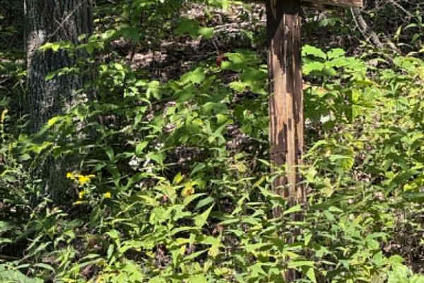
Younkers Bottom Road
This is an easy drive with some washout ruts but very passable. Some gravel spots but mostly dirt with a few pull-offs along the way. There's a very nice camp spot at the end of this dead-end road with a turnaround area at the end. The road ends at a very scenic creek with walking trails along both ...
Learn more about Younkers Bottom Road
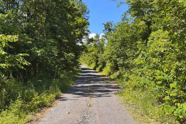
Moss Road - T-318
Moss road or T-318 cuts through the southern Game lands. Reaching elevations of 1166 Ft traversing the forest and meadows. There is no public camping allowed on this route. Several parking locations are along the trail. If coming from the south look for a sharp turn heading up a gravel road.
Learn more about Moss Road - T-318
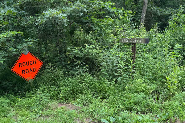
Outdoor Club Road
Outdoor Club Road in Green Ridge State Forest is a solid choice for beginners and casual overlanders looking for a low-stress forest drive with occasional challenges, while still offering enough variation to keep experienced drivers engaged. Running through the eastern side of the forest near the MD...
Learn more about Outdoor Club Road
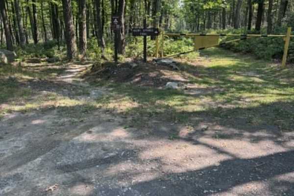
Big Pond Hollow
Big Pond Hollow Road is a gradual, overall gentle slope down the mountain. It is dirt and gravel the whole way through, with occasional rough spots from stormwater, but very easy to navigate. It offers some scenic views and overlooks and a few small, gentle streams for some great photos. There is on...
Learn more about Big Pond Hollow
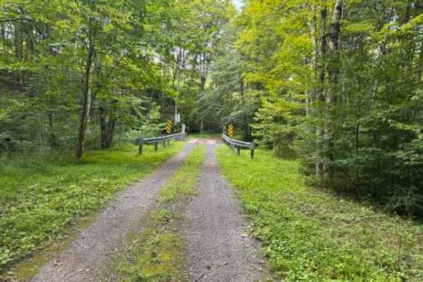
Howsare Road
A scenic single-lane stone and rock road winds gently through (Buchanan State Forest) Pennsylvania parkland, following a clear mountain stream beneath a canopy of hardwood forest. The route offers a relaxing drive, scattered rock features, and peaceful woodland views, making it ideal for stock 4x4s,...
Learn more about Howsare Road
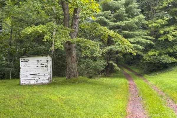
Reddinger Road
This scenic single-lane forest road meanders alongside a peaceful mountain stream through the heart of (Bedford County) Buchanan State Forest. Towering hardwoods provide a shaded canopy as the route follows the natural contours of the valley, offering a relaxing drive with beautiful woodland scenery...
Learn more about Reddinger Road
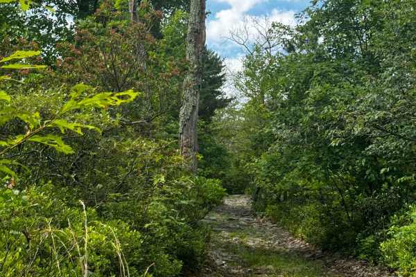
Walters Gap
This is one of the 4 trails that is accessible by full-sized rigs within the Peters Mill OHV area. The trail is about a mile long and consists of a few hill climbs and a few very long rock gardens ranging in size from a few inches to no taller than a foot. One offshoot/optional obstacle does occur o...
Learn more about Walters Gap
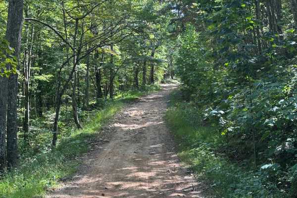
Taskers Entrance
This is the entrance road to the Taskers Gap OHV area. There are areas to park a trailer, as well as a few camp spots in the area as well. The road consists of small rocks, loose dirt and gravel, ruts, and steep inclines. Taskers Gap can be ridden with SxS, ATV, and dirt/adventure bikes, with high-c...
Learn more about Taskers Entrance
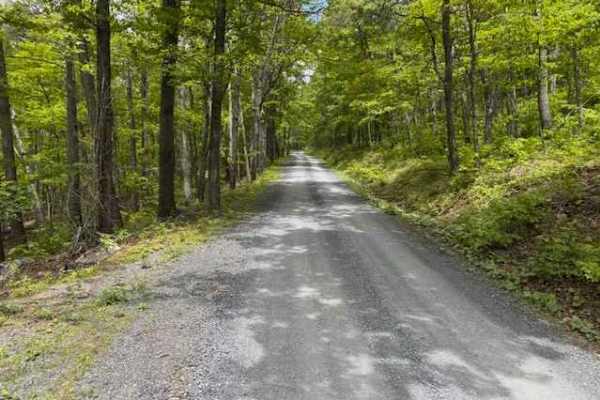
Devils Hole Road
Devils Hole Road, or RT 691 Gravel Road, is an adventure weaving through the heart of the George Washington National Forest. Rocky in sections, with winding forest roads, leads to breathtaking mountain overlooks. Surrounded by towering hardwoods and remote wilderness, the trail delivers a perfect mi...
Learn more about Devils Hole Road
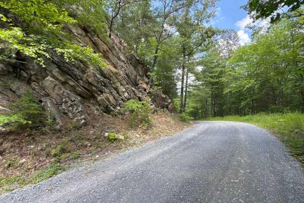
Chrisman Hollow - FS 274
The Chrisman Hollow Trail, also known as FS 274, connects US 211 at the south end and State Road 674 at the north end of the trail. It takes you to several trailheads, including the Lion's Tale Trail, which offers an ADA-accessible, half-mile trail along the Passage Creek. There are several primitiv...
Learn more about Chrisman Hollow - FS 274
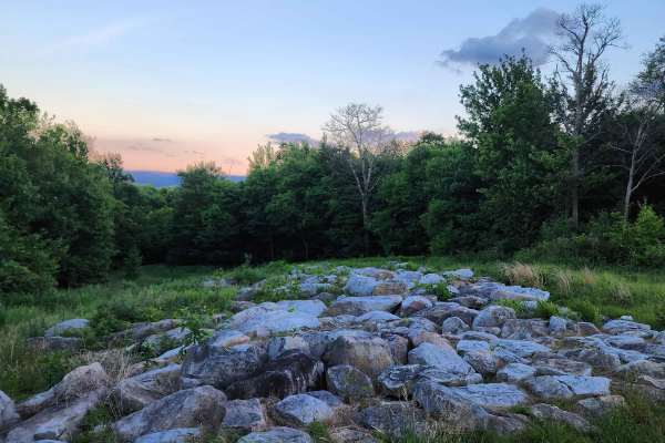
St. Johs Rock
This is a relaxing route in the panhandle of Maryland with good proximity to many Western Maryland parks and sites. When entering the trail from the north you will come across a campground about one mile in. You will need to reserve these campsites online ahead of time if you want to stay. At the re...
Learn more about St. Johs Rock
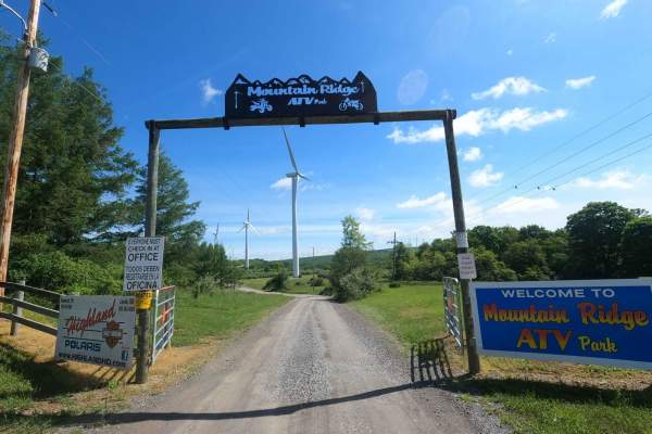
Mountain Ridge ATV Park Singletrack CD
Singletrack C is an almost 7-mile loop broken into 7 sections of varying difficulty. Each section starts and ends at an easily accessible location off of one of the ATV paths, so if you had enough or want to only hit a specific section, you can. Singletrack CD is the 4th part of this loop. You will ...
Learn more about Mountain Ridge ATV Park Singletrack CD
ATV trails near Sandy Hook, Maryland
Explore ATV-friendly trails near you. These trails are accessible for vehicles up to 50 inches wide, perfect for ATVs and smaller off-road machines.
Moss Road - T-318
Moss road or T-318 cuts through the southern Game lands. Reaching elevations of 1166 Ft traversing the forest and meadows. There is no public camping allowed on this route. Several parking locations are along the trail. If coming from the south look for a sharp turn heading up a gravel road.
Learn more about Moss Road - T-318
Howsare Road
A scenic single-lane stone and rock road winds gently through (Buchanan State Forest) Pennsylvania parkland, following a clear mountain stream beneath a canopy of hardwood forest. The route offers a relaxing drive, scattered rock features, and peaceful woodland views, making it ideal for stock 4x4s,...
Learn more about Howsare Road
Walters Gap
This is one of the 4 trails that is accessible by full-sized rigs within the Peters Mill OHV area. The trail is about a mile long and consists of a few hill climbs and a few very long rock gardens ranging in size from a few inches to no taller than a foot. One offshoot/optional obstacle does occur o...
Learn more about Walters Gap
Taskers Entrance
This is the entrance road to the Taskers Gap OHV area. There are areas to park a trailer, as well as a few camp spots in the area as well. The road consists of small rocks, loose dirt and gravel, ruts, and steep inclines. Taskers Gap can be ridden with SxS, ATV, and dirt/adventure bikes, with high-c...
Learn more about Taskers Entrance
UTV/side-by-side trails near Sandy Hook, Maryland
Find UTV and side-by-side trails near you. These trails accommodate vehicles up to 60 inches wide, ideal for UTVs, side-by-sides, and wider off-road rigs.
Moss Road - T-318
Moss road or T-318 cuts through the southern Game lands. Reaching elevations of 1166 Ft traversing the forest and meadows. There is no public camping allowed on this route. Several parking locations are along the trail. If coming from the south look for a sharp turn heading up a gravel road.
Learn more about Moss Road - T-318
Howsare Road
A scenic single-lane stone and rock road winds gently through (Buchanan State Forest) Pennsylvania parkland, following a clear mountain stream beneath a canopy of hardwood forest. The route offers a relaxing drive, scattered rock features, and peaceful woodland views, making it ideal for stock 4x4s,...
Learn more about Howsare Road
Reddinger Road
This scenic single-lane forest road meanders alongside a peaceful mountain stream through the heart of (Bedford County) Buchanan State Forest. Towering hardwoods provide a shaded canopy as the route follows the natural contours of the valley, offering a relaxing drive with beautiful woodland scenery...
Learn more about Reddinger Road
Walters Gap
This is one of the 4 trails that is accessible by full-sized rigs within the Peters Mill OHV area. The trail is about a mile long and consists of a few hill climbs and a few very long rock gardens ranging in size from a few inches to no taller than a foot. One offshoot/optional obstacle does occur o...
Learn more about Walters Gap
The onX Offroad Difference
onX Offroad combines trail photos, descriptions, difficulty ratings, width restrictions, seasonality, and more in a user-friendly interface. Available on all devices, with offline access and full compatibility with CarPlay and Android Auto. Discover what you're missing today!
Open Trail Map