
Dirt Bike Trails
Near Rose City, Michigan
Explore All Dirt Bike Trails Near Rose City, Michigan
Dirt Bike Trails Near Rose City, Michigan
Discover the best dirt bike trails near you. Browse trail maps, check difficulty ratings, and find your next adventure — whether you're looking for a quick ride or an all-day expedition.
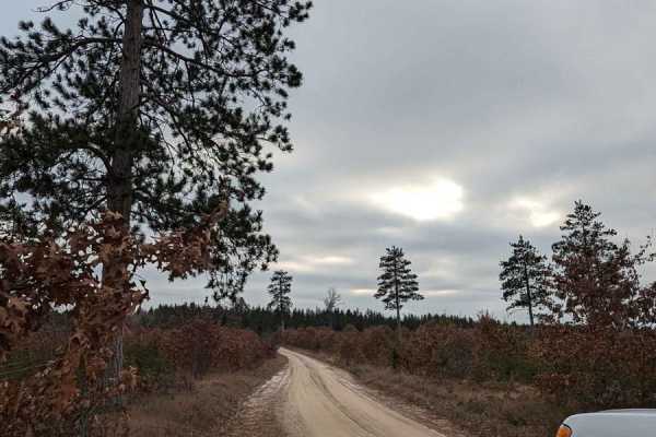
Rose City Lookout
Sand trails, mild hill climbs, and great views; what more could you ask for? This route will take you through an area that is a little overgrown and could use trimming, but if you don't mind that good ol' Michigan pinstriping, then you'll be fine. There are a few hill climbs and a rewarding lookout ...
Learn more about Rose City Lookout
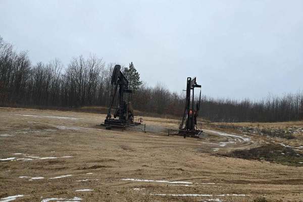
Oil Well Trail
This short trail will take you past several of the large oil rigs in the area along with some great spots to stop and take a break or lunch. The trail is mostly loose sand with some chatter bumps. This is a great trail to take the family out and enjoy nature. This route will take you through some op...
Learn more about Oil Well Trail
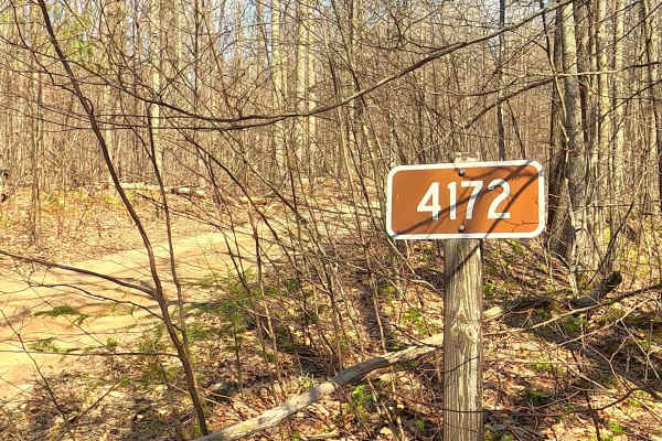
Hardwood - FS 4172
Federal Forest Service Road (FS) 4172, also known as Hardwood Road, is a federally owned/locally maintained, Level-2/Level-3 forest road with a surface composed of dirt, sand, gravel, and native material. This route is currently open and in fair condition; it is not a DNR road (ORV use is subject to...
Learn more about Hardwood - FS 4172
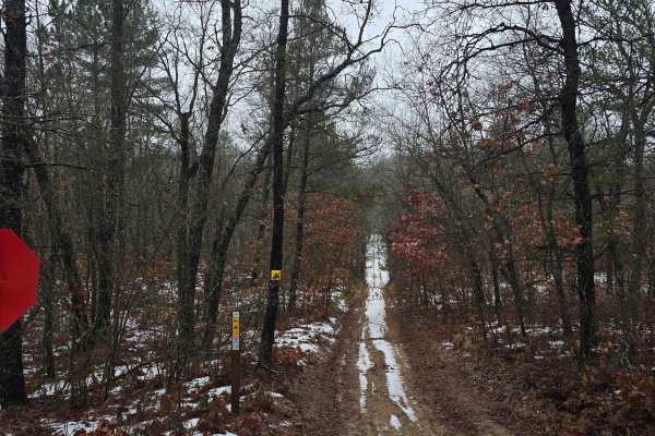
East Oyster Road
Part of the route on the east side is shared with the ATV trails in the area. As you head towards the west, the trail does open up and goes from 1.5 vehicles wide to 2.5 vehicles wide. This route does have open areas and wooded areas, during the summer, this is a higher-traffic route.
Learn more about East Oyster Road
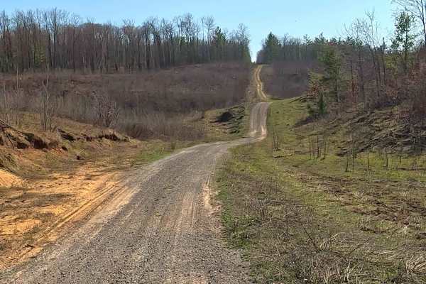
Marilyn Lane
Marilyn Lane is a federally owned/ locally maintained, Level-2/ Level-3 forest road with a surface composition of dirt, sand, gravel, and native material. This route is currently open and in fair condition; it is not a DNR road (ORV use is subject to local government regulations). It traverses throu...
Learn more about Marilyn Lane
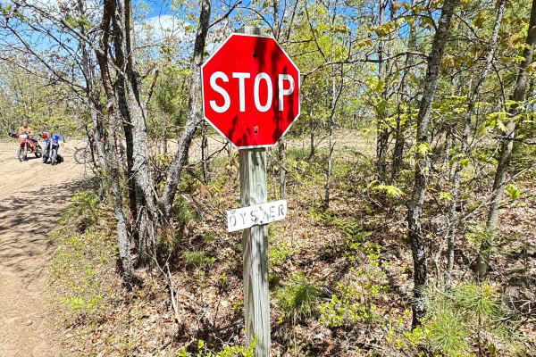
Rose City West
Heading north from Oyster Road, you will encounter a large sandy hill. This can be challenging for new riders. Lots of elevation change and a significant amount of sand. Nice flowing corners make this section very fun. There is good canopy cover and a lot of trees, and let's not forget whoops!
Learn more about Rose City West
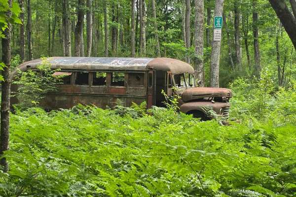
Lentz Trail
This trail runs from north to south. At the south end, it starts off Sage Lake Road and dead ends right before Rose City Road. While traveling the trail, the width alternates between one and two vehicles wide. The trail is a mix of loose sand and hard pack while traveling through older forest and cl...
Learn more about Lentz Trail
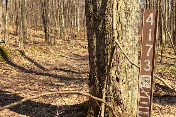
FS 4173
Federal Forest Service Road (FS) 4173 is a federally owned/locally maintained, Level-2/Level-3 forest road with a surface composed of dirt, sand, gravel, and native material. This route is currently open and in fair condition; it is not a DNR road (ORV use is subject to local government regulations)...
Learn more about FS 4173
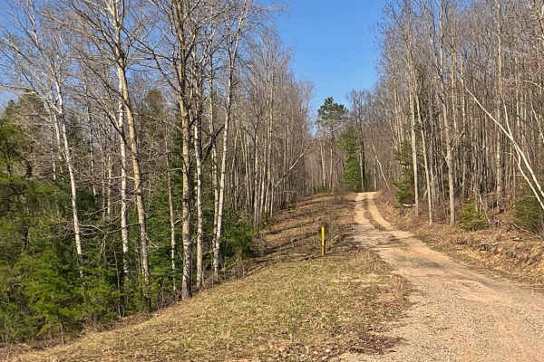
Bass Lake - FS 4227
Federal Forest Service Road (FS) 4227, also known as Bass Lake, is a federally owned/locally maintained, Level-2/Level-3 forest road with a surface composed of dirt, sand, gravel, and native material. This route is currently open and in fair condition; it is not a DNR road (ORV use is subject to loc...
Learn more about Bass Lake - FS 4227
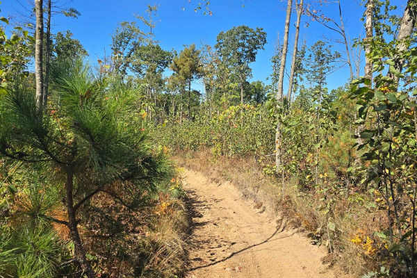
Ambrose Lake Trail East Loop
This 50" trail is a loop leaving from Ambrose Lake trailhead. You will find hard-packed and soft sand with some decent elevation changes, mature trees, and recent clear-cut areas. While running this trail you will see all sorts of wildlife. This trail is also part of the MCCCT.
Learn more about Ambrose Lake Trail East Loop
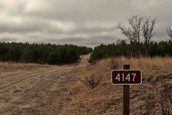
Deckerville/ Warbler - FS 4147
Federal Forest Service Road (FS) 4147, also known as Deckerville Road/ Warbler Road, is a federally owned/ locally maintained, Level-2/ Level-3 forest road with a surface composition of dirt, sand, gravel, and native material. This route is currently open and in fair condition; it is not a DNR road ...
Learn more about Deckerville/ Warbler - FS 4147
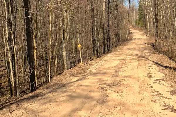
FS 4176
Federal Forest Service Road (FS) 4176 is a federally owned/locally maintained, Level-2/Level-3 forest road with a surface composed of dirt, sand, gravel, and native material. This route is currently open and in fair condition; it is not a DNR road (ORV use is subject to local government regulations)...
Learn more about FS 4176
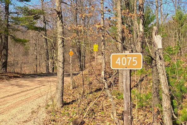
Trout Lake - FS 4075
Federal Forest Service Road (FS) 4075, also known as Trout Lake, is a federally owned/locally maintained, Level-2/Level-3 forest road with a surface composed of dirt, sand, gravel, and native material. This route is currently open and in fair condition; it is not a DNR road (ORV use is subject to lo...
Learn more about Trout Lake - FS 4075
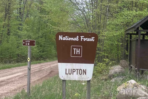
H57-13 Lupton
H57-13 Lupton is a 50-inch trail that traverses parts of the Huron National Forest. The trail is a mix of sand and hard-packed dirt and is surrounded by dense forests. It leads to several forest service roads and additional 50-inch trails. To fully enjoy this trail, it must be traveled in both direc...
Learn more about H57-13 Lupton
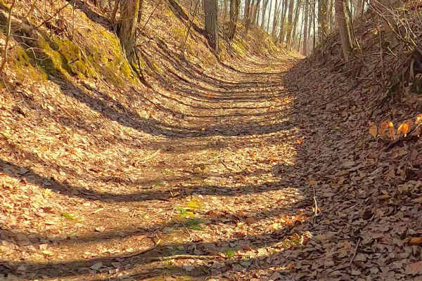
FS 4210
Federal Forest Service Road (FS) 4210 is a federally owned/locally maintained, Level-2/Level-3 forest road with a surface composed of dirt, sand, gravel, and native material. This route is currently open and in fair condition; it is not a DNR road (ORV use is subject to local government regulations)...
Learn more about FS 4210
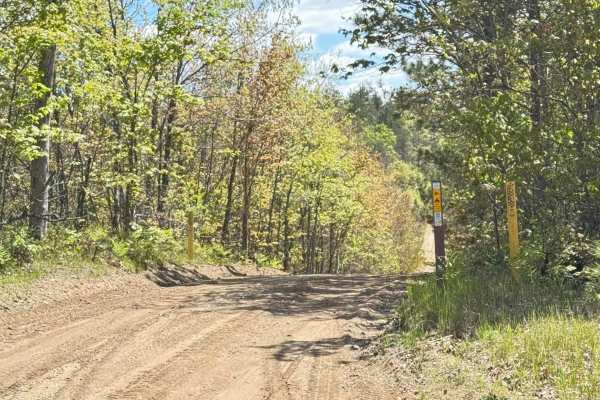
Rose City East
Rose City East has a lot of sand and small rocks. It features long stretches of whoops and flowing corners. High-banked corners throughout make this a fun and easy-to-ride portion of the trail. This section crosses 2 tracks with a lot of side-by-side and jeep traffic. Be sure to stop at all road cro...
Learn more about Rose City East
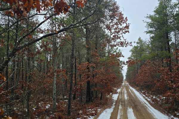
North Dow Road
The road starts as a very wide road that goes past a few houses at the beginning and narrows down a bit the further you go down the road. Various roads and trails intersect this road. While driving down the road you may encounter loose sand, chatter bumps, and mud holes. The area has some open field...
Learn more about North Dow Road
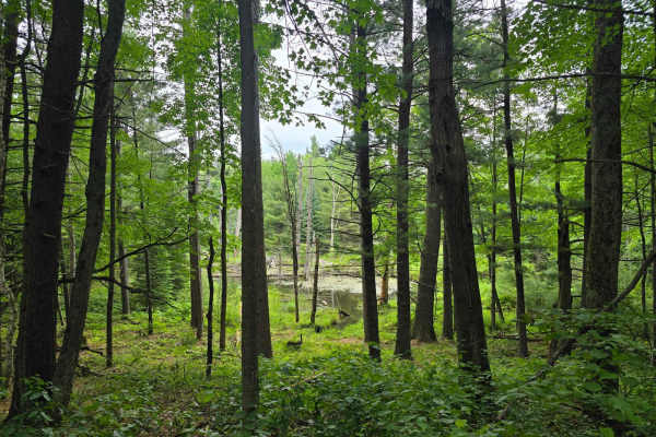
Ambrose Lake - Ogemaw Hills North
This 50" trail is mostly hard-packed through the mature woods of the area with areas of recent clearcuts. A lot of elevation changes with areas that are washed out, tree roots showing, and rocks. This trail is for the more experienced riders, especially on the bikes. This trail has areas that are ti...
Learn more about Ambrose Lake - Ogemaw Hills North
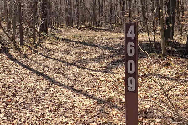
FS 4609
Federal Forest Service Road (FS) 4609 is a federally owned/ locally maintained, Level-2/ Level-3 forest road with a surface composition of dirt, sand, gravel, and native material. This route is currently open and in fair condition; it is not a DNR road (ORV use is subject to local government regulat...
Learn more about FS 4609
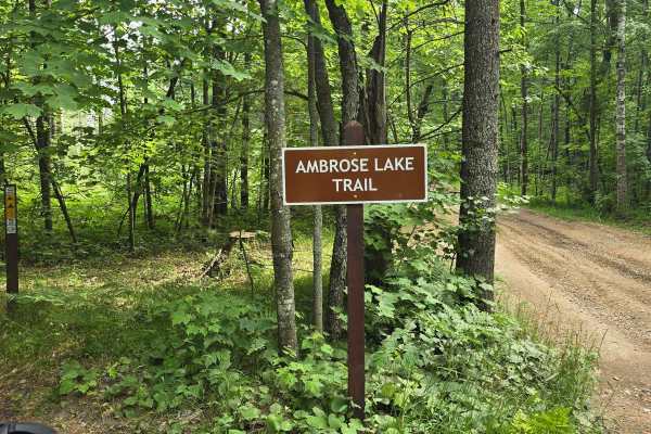
Ambrose Lake Trail West Loop
This 50" trail is a loop leaving from Ambrose Lake trailhead. You will find hard-packed and soft sand with some decent elevation changes, mature trees, and recent clear-cut areas. While running this trail you will see all sorts of wildlife. This trail is also part of the MCCCT.
Learn more about Ambrose Lake Trail West Loop
ATV trails near Rose City, Michigan
Explore ATV-friendly trails near you. These trails are accessible for vehicles up to 50 inches wide, perfect for ATVs and smaller off-road machines.
Rose City Lookout
Sand trails, mild hill climbs, and great views; what more could you ask for? This route will take you through an area that is a little overgrown and could use trimming, but if you don't mind that good ol' Michigan pinstriping, then you'll be fine. There are a few hill climbs and a rewarding lookout ...
Learn more about Rose City Lookout
Oil Well Trail
This short trail will take you past several of the large oil rigs in the area along with some great spots to stop and take a break or lunch. The trail is mostly loose sand with some chatter bumps. This is a great trail to take the family out and enjoy nature. This route will take you through some op...
Learn more about Oil Well Trail
Hardwood - FS 4172
Federal Forest Service Road (FS) 4172, also known as Hardwood Road, is a federally owned/locally maintained, Level-2/Level-3 forest road with a surface composed of dirt, sand, gravel, and native material. This route is currently open and in fair condition; it is not a DNR road (ORV use is subject to...
Learn more about Hardwood - FS 4172
East Oyster Road
Part of the route on the east side is shared with the ATV trails in the area. As you head towards the west, the trail does open up and goes from 1.5 vehicles wide to 2.5 vehicles wide. This route does have open areas and wooded areas, during the summer, this is a higher-traffic route.
Learn more about East Oyster Road
UTV/side-by-side trails near Rose City, Michigan
Find UTV and side-by-side trails near you. These trails accommodate vehicles up to 60 inches wide, ideal for UTVs, side-by-sides, and wider off-road rigs.
Rose City Lookout
Sand trails, mild hill climbs, and great views; what more could you ask for? This route will take you through an area that is a little overgrown and could use trimming, but if you don't mind that good ol' Michigan pinstriping, then you'll be fine. There are a few hill climbs and a rewarding lookout ...
Learn more about Rose City Lookout
Oil Well Trail
This short trail will take you past several of the large oil rigs in the area along with some great spots to stop and take a break or lunch. The trail is mostly loose sand with some chatter bumps. This is a great trail to take the family out and enjoy nature. This route will take you through some op...
Learn more about Oil Well Trail
Hardwood - FS 4172
Federal Forest Service Road (FS) 4172, also known as Hardwood Road, is a federally owned/locally maintained, Level-2/Level-3 forest road with a surface composed of dirt, sand, gravel, and native material. This route is currently open and in fair condition; it is not a DNR road (ORV use is subject to...
Learn more about Hardwood - FS 4172
East Oyster Road
Part of the route on the east side is shared with the ATV trails in the area. As you head towards the west, the trail does open up and goes from 1.5 vehicles wide to 2.5 vehicles wide. This route does have open areas and wooded areas, during the summer, this is a higher-traffic route.
Learn more about East Oyster Road
The onX Offroad Difference
onX Offroad combines trail photos, descriptions, difficulty ratings, width restrictions, seasonality, and more in a user-friendly interface. Available on all devices, with offline access and full compatibility with CarPlay and Android Auto. Discover what you're missing today!
Open Trail Map