
Dirt Bike Trails
Near Ridgway, Colorado
Explore All Dirt Bike Trails Near Ridgway, Colorado
Dirt Bike Trails Near Ridgway, Colorado
Discover the best dirt bike trails near you. Browse trail maps, check difficulty ratings, and find your next adventure — whether you're looking for a quick ride or an all-day expedition.
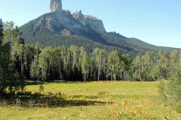
Owl Creek Pass
This is an enjoyable and easy 45-mile trip over Owl Creek Pass between the Uncompahgre and Cimarron Rivers. There can be a few water-filled potholes, but nothing that would stop a passenger car with reasonable clearance. Perhaps it would be muddier early in the year. John Wayne filmed scenes from bo...
Learn more about Owl Creek Pass
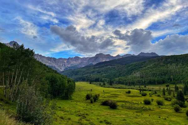
East Dallas Trail
Easy wide dirt trail mostly through private property with access to National Forest land and dispersed camping at the end. The first third of the trail is a smooth dirt road that can get muddy and slick when wet after a rain storm. Higher up, the trail gets bumpy with a more rocky road surface, but ...
Learn more about East Dallas Trail
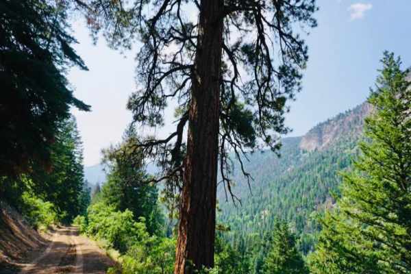
Cow Creek
County Road 12 turns into the rutted dirt trail of Cow Creek. It is a narrow trail with few places for passing vehicles. There is a stretch of shelf road as it ascends and parallels the Ramshorn Ridge with Cow Creek running along the bottom of several gulches. You will encounter several creek crossi...
Learn more about Cow Creek
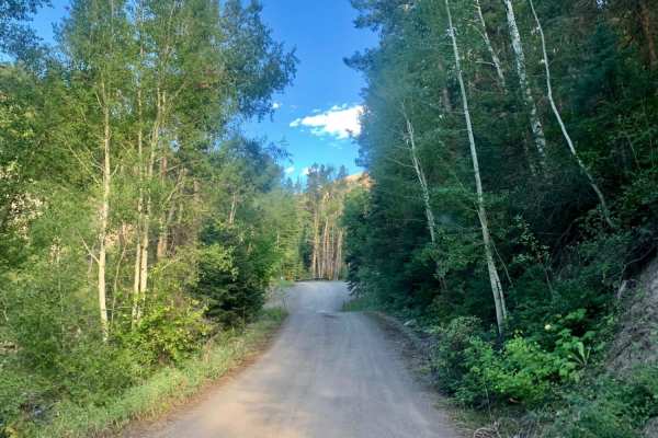
Cty Rd 14. - Dexter Creek Rd
Dexter Creek Road leads you to national forest land with a few dispersed camping sites starting about one mile in. The road starts out a graded, gravel road which very quickly gets to a steep hill with a one-lane road. Uphill traffic has the right-of-way. The road passes through residential areas i...
Learn more about Cty Rd 14. - Dexter Creek Rd
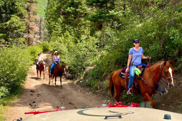
Culver Creek - County Road 14A
Culver Creek (County Road 14A) is an approachable 2.5-mile off-road route near Ouray, Colorado, that is perfect for stock high-clearance 4WD vehicles and SUVs looking to escape the crowded highway and access the scenic backcountry of the Uncompahgre National Forest. Branching off Dexter Creek Road (...
Learn more about Culver Creek - County Road 14A
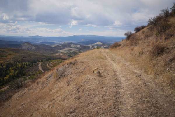
A Spur
The .8-mile long Spur A is an easy flat two-track that goes along the edge of a hillside, on a shelfy path between scrub oak and tall grass. You'll be overlooking the valley as you ride west, and have a view of Pinnacle Ridge as you ride back east. It has some small dips and big rollers over water b...
Learn more about A Spur
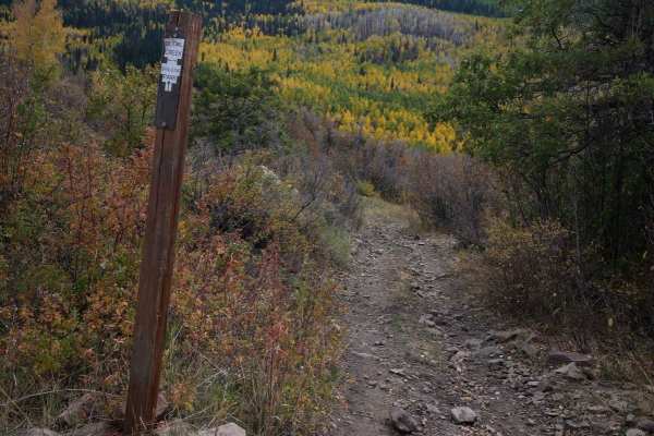
Spalding Park ATV
Spalding Park is a short ATV trail through the Uncompahgre National Park in the Owl Creek Pass area. From the north end, it goes through the flat valley below the Old Owl Creek trail, between scrub oak and aspen trees. When riding south, you have an amazing view of the Pinnacle Ridge almost the whol...
Learn more about Spalding Park ATV
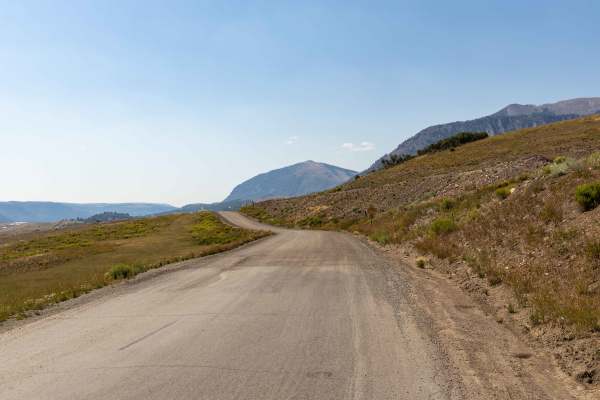
Last Dollar Road
Bumpy, colorful, vast, and adventurous, this hidden dirt road in historic ranching country gives stunning rewards for those willing the take the time to get around the bend. As Last Dollar Road winds through a low valley surrounded by jagged peaks and deep-blue skies, each bend delivers jaw-dropping...
Learn more about Last Dollar Road
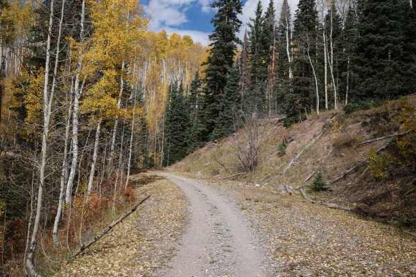
Stealey Mountain ATV
This 3.7-mile long ATV trail starts on Owl Creek Pass and zig-zags south through the Uncompahgre National Forest. The south nd accesses the non-motorized Stealey Mountain North hiking trail. The trail's north end is wide and smooth, like an old road. Most of the rest of the trail is an easy two-trac...
Learn more about Stealey Mountain ATV
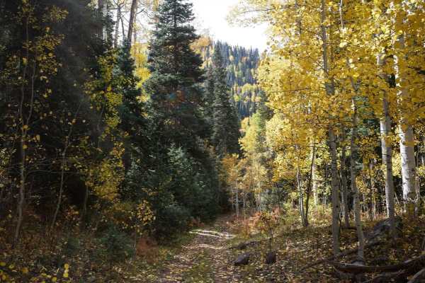
Stealey Mountain Spur ATV
From the Stealey Mountain ATV trail, this spur branches off and heads east, making big wide switchbacks on an easy trail through fir trees and aspens. It comes to an intersection to either go northeast to the Old Owl Creek ATV trail, or continue southeast on the spur. From this intersection, it con...
Learn more about Stealey Mountain Spur ATV
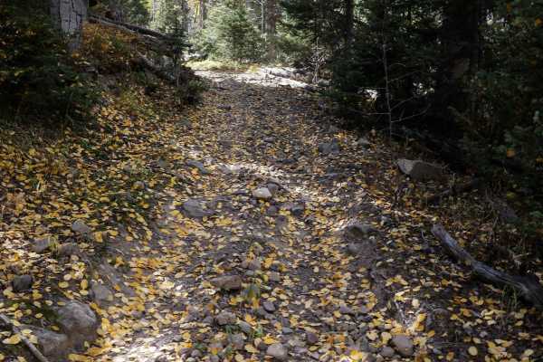
B Spur
The B Spur starts at the intersection with the Old Owl Creek ATV trail and goes south for 1.3 miles, curving through the pine forest on a shelfy and rocky trail. It has big wide sweeping corners as it zig zags up the mountain. The trail is covered in small embedded and loose rocks. The trail was cle...
Learn more about B Spur
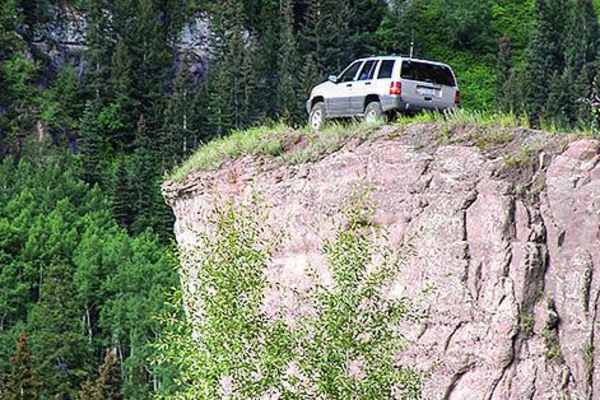
Yankee Boy Basin
You'll be treated to breathtaking views and unique history on this popular nature trail. Points of interest include the Drinking Cup, Twin Falls, Atlas Mill, Camp Bird Mine, and the rock overhang. There are designated camping areas available, and it is open to all vehicles from May 1 to November 11.
Learn more about Yankee Boy Basin
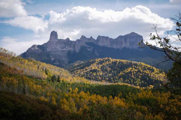
Old Owl Creek ATV
The Old Owl Creek ATV trail is 4 miles long, riding below the Spruce Ridge and Owl Creek Pass through the Owl Creek drainage. The trail's east end starts at a pinch point between two boulders off of Owl Creek Pass and descends the mountainside on a loose, rocky two-track. It has loose rock filling i...
Learn more about Old Owl Creek ATV
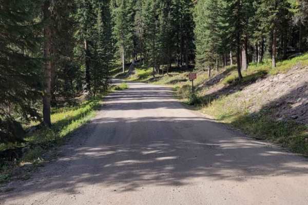
West Fork Cimarron Road
West Fork Cimarron Road is a scenic 3.4-mile out-and-back trail in the Uncompahgre National Forest, perfect for scenic tourers, SxSs, and high-clearance four-wheel-drive vehicles seeking majestic mountain views and access to wilderness trailheads. Starting at an elevation of 10,075 feet and climbing...
Learn more about West Fork Cimarron Road
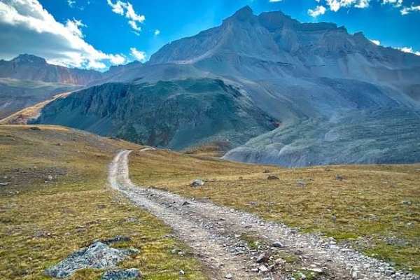
Wrights Lake Trail
This is a short fun trail connected to the end of Yankee Boy Basin Trail. If you've come to the end of Yankee Boy, you owe it to yourself to do this trail as well. It is a short fun loop with a couple of nice climbs and views. From the right angle, the beautiful blue lake looks heart-shaped.
Learn more about Wrights Lake Trail
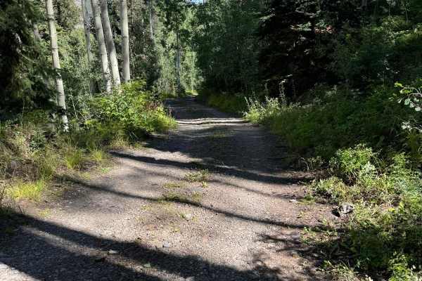
Cutler Mine
Just off of Imogene Pass lies a hidden trail that promises an adventure steeped in mystery. The trail meanders through the rugged landscape, eventually leading you to a locked gate that hints at tales long forgotten. Outside the gate, the remnants of an old cabin stand as silent witnesses to a bygon...
Learn more about Cutler Mine
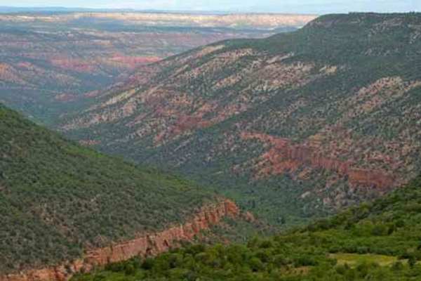
South Divide
South Divide is an easy-going overlanding route designed for beginners, families and seasoned explorers looking to experience the dramatic transition of Colorado’s diverse landscapes from Ridgway to Olathe. Spanning approximately 55.4 miles across the expansive Uncompahgre Plateau, this point-to-poi...
Learn more about South Divide
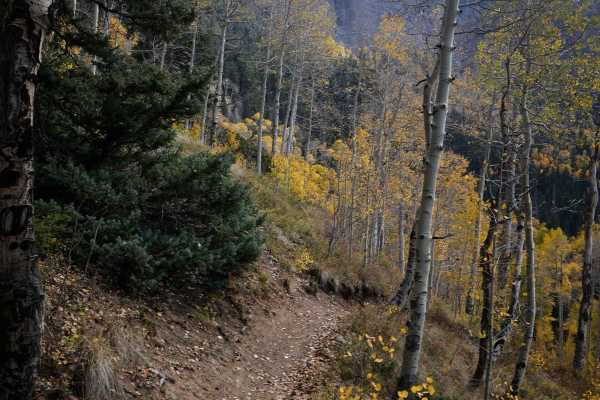
Nate Creek
The Nate Creek singletrack starts at the end of the Lou Creek ATV trail and heads south for 7 miles through the Uncompahgre National Forest to an inconspicuous entrance on Owl Creek Pass. This is a hidden gem advanced trail in a less trafficked part of Colorado. From the north end, it starts as a ro...
Learn more about Nate Creek
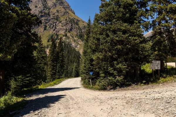
Governors Basin
The Governors Basin Trail is a rugged alpine route that climbs steadily into the high country above Ouray. The road is narrow and primarily one lane, with uphill shelf-road exposure for roughly 90% of its length. Conditions are rocky throughout, with some rougher sections that demand careful tire pl...
Learn more about Governors Basin
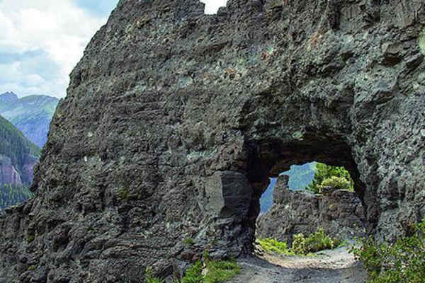
Imogene Pass
Imogene Pass is a challenging and rewarding off-roading trail and stands as the second-highest drivable mountain pass in Colorado, peaking at 13,114 feet. This route is nestled within the stunning San Juan Mountains, stretching between Ouray and Telluride in the Uncompahgre National Forest, and has ...
Learn more about Imogene Pass
ATV trails near Ridgway, Colorado
Explore ATV-friendly trails near you. These trails are accessible for vehicles up to 50 inches wide, perfect for ATVs and smaller off-road machines.
Owl Creek Pass
This is an enjoyable and easy 45-mile trip over Owl Creek Pass between the Uncompahgre and Cimarron Rivers. There can be a few water-filled potholes, but nothing that would stop a passenger car with reasonable clearance. Perhaps it would be muddier early in the year. John Wayne filmed scenes from bo...
Learn more about Owl Creek Pass
East Dallas Trail
Easy wide dirt trail mostly through private property with access to National Forest land and dispersed camping at the end. The first third of the trail is a smooth dirt road that can get muddy and slick when wet after a rain storm. Higher up, the trail gets bumpy with a more rocky road surface, but ...
Learn more about East Dallas Trail
Cow Creek
County Road 12 turns into the rutted dirt trail of Cow Creek. It is a narrow trail with few places for passing vehicles. There is a stretch of shelf road as it ascends and parallels the Ramshorn Ridge with Cow Creek running along the bottom of several gulches. You will encounter several creek crossi...
Learn more about Cow Creek
A Spur
The .8-mile long Spur A is an easy flat two-track that goes along the edge of a hillside, on a shelfy path between scrub oak and tall grass. You'll be overlooking the valley as you ride west, and have a view of Pinnacle Ridge as you ride back east. It has some small dips and big rollers over water b...
Learn more about A Spur
UTV/side-by-side trails near Ridgway, Colorado
Find UTV and side-by-side trails near you. These trails accommodate vehicles up to 60 inches wide, ideal for UTVs, side-by-sides, and wider off-road rigs.
Owl Creek Pass
This is an enjoyable and easy 45-mile trip over Owl Creek Pass between the Uncompahgre and Cimarron Rivers. There can be a few water-filled potholes, but nothing that would stop a passenger car with reasonable clearance. Perhaps it would be muddier early in the year. John Wayne filmed scenes from bo...
Learn more about Owl Creek Pass
East Dallas Trail
Easy wide dirt trail mostly through private property with access to National Forest land and dispersed camping at the end. The first third of the trail is a smooth dirt road that can get muddy and slick when wet after a rain storm. Higher up, the trail gets bumpy with a more rocky road surface, but ...
Learn more about East Dallas Trail
Cow Creek
County Road 12 turns into the rutted dirt trail of Cow Creek. It is a narrow trail with few places for passing vehicles. There is a stretch of shelf road as it ascends and parallels the Ramshorn Ridge with Cow Creek running along the bottom of several gulches. You will encounter several creek crossi...
Learn more about Cow Creek
Last Dollar Road
Bumpy, colorful, vast, and adventurous, this hidden dirt road in historic ranching country gives stunning rewards for those willing the take the time to get around the bend. As Last Dollar Road winds through a low valley surrounded by jagged peaks and deep-blue skies, each bend delivers jaw-dropping...
Learn more about Last Dollar Road
The onX Offroad Difference
onX Offroad combines trail photos, descriptions, difficulty ratings, width restrictions, seasonality, and more in a user-friendly interface. Available on all devices, with offline access and full compatibility with CarPlay and Android Auto. Discover what you're missing today!
Open Trail Map