
Dirt Bike Trails
Near Pueblitos, New Mexico
Explore All Dirt Bike Trails Near Pueblitos, New Mexico
Dirt Bike Trails Near Pueblitos, New Mexico
Discover the best dirt bike trails near you. Browse trail maps, check difficulty ratings, and find your next adventure — whether you're looking for a quick ride or an all-day expedition.
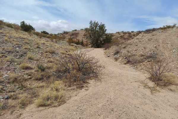
Powerline Pass
A nice trail for beginners wanting a fun challenge. This trail is packed with rocks, washed-out roads and a few steep inclines to keep you on your toes. Go with a buddy due to a large amount of sharp rocks and cactus. While on the trail you'll have sights of huge open fields and desert, surrounded b...
Learn more about Powerline Pass
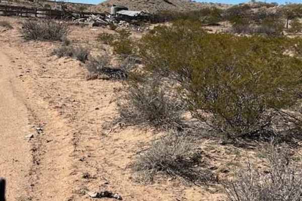
Windmill
This is a spur trail off Riley CR 12. It winds around some small hills and ends at a picturesque windmill, watering tank, and building ruins. The majestic Ladron mountains create the backdrop. Locals target shoot in this area so listen for shooting before venturing onto this trail.
Learn more about Windmill
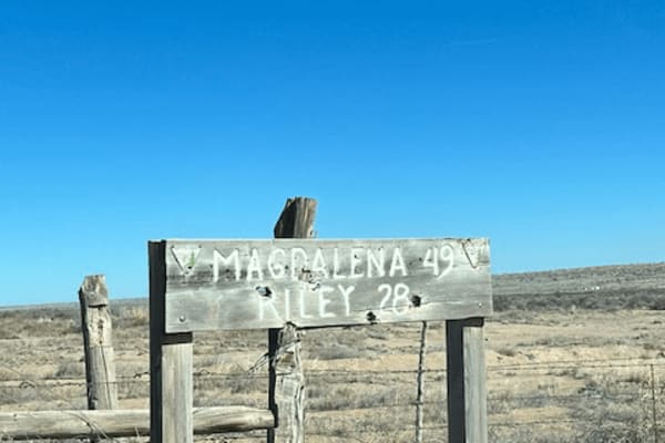
Riley CR 12
This is a wide-open sky drive that starts on the northwest side of the Sevilleta Wildlife Refuge. It winds around the striking Ladron (Thieves) Mountain. There are a few scattered ranches but most of the area is owned by the federal Bureau of Land Management that borders the Wildlife Refuge. The Lad...
Learn more about Riley CR 12
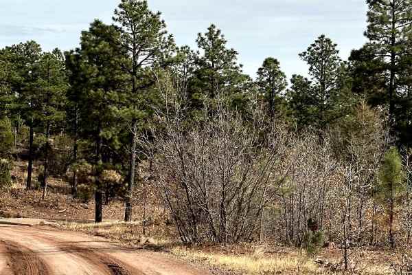
Red Canyon Campground
This is an easy route to the beautiful, well-shaded, and peaceful Red Canyon Campground. The campground is at 7,600 feet in elevation. It can accommodate RVs up to 22 feet. It is easy access to the Manzano Wilderness on the Red and Spruce Canyon trails on foot or horseback. The campground has corr...
Learn more about Red Canyon Campground
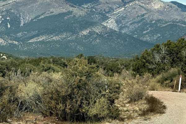
FS 422 Priest Canyon
This route travels through the southern tip of the Manzano Mountains and connects the village of Manzano on State Highway 131 with State Highway 60. It travels along a right-of-way through private property on both ends before entering the Cibola Forest. The trail can be dusty and has a few low water...
Learn more about FS 422 Priest Canyon
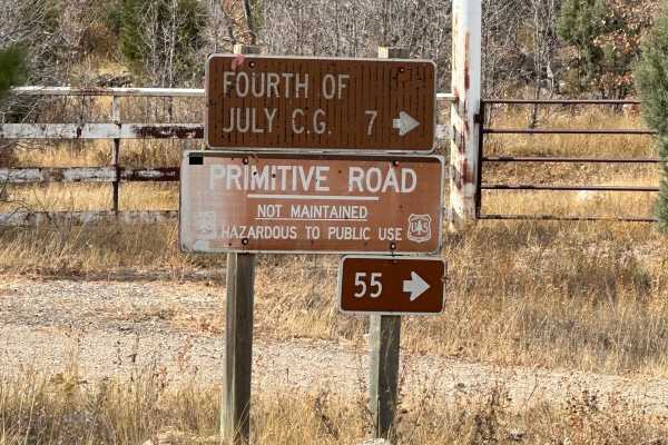
FS 55 Tajique Canyon
This route is rocky in some areas and has other areas with deep ruts and slick, sticky mud with any type of moisture. It travels through private property before entering the Carson Forest. The route gradually climbs out of Diablo Canyon and levels out with gorgeous views of the Manzano Mountains.
Learn more about FS 55 Tajique Canyon
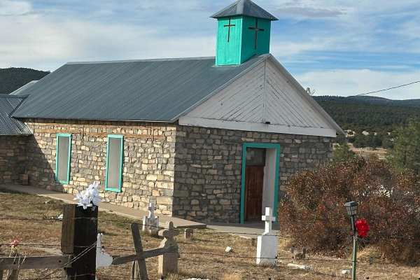
Fourth of July Campground
This route leads to the premier area to see the Big Tooth Maple in the Manzano Mountains. It is the largest stand of maples in New Mexico. The road is easy but narrow in spots. Camping is available from April through November for tents and tent trailers. There is also a parking area for some short h...
Learn more about Fourth of July Campground
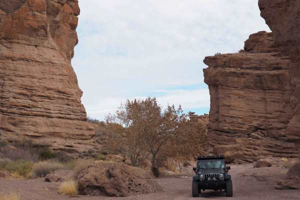
San Lorenzo Canyon
San Lorenzo Canyon is a series of rock formations and canyons on the southern border of Servilleta Wildlife Refuge. This area features numerous hiking and camping opportunities in a unique landscape not far from Albuquerque. It's a favorite day trip for locals, and you will often find others here hi...
Learn more about San Lorenzo Canyon
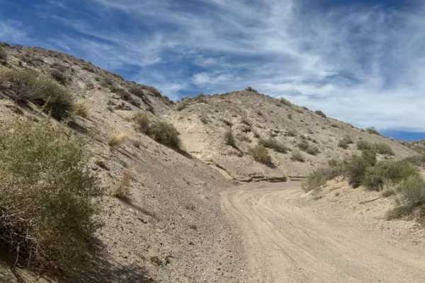
Center of the Earth
Center of the Earth is a quick technical sand section featuring deep sand and tight turns. This trail requires careful throttle control and maintaining momentum through softer and deeper areas. This runs at the base of the canyons and has some off-camber areas. It is a fun challenge for vehicles equ...
Learn more about Center of the Earth
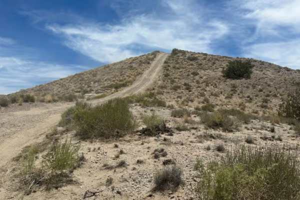
Above Earth
This scenic ridge-top trail features rolling ups and downs, hill climbs, and multiple offshoots leading down both sides of the hills. Terrain includes sections of light sand (around 4 inches deep) and varied elevation changes. The trail includes a long descent that connects to the Edge of the Earth ...
Learn more about Above Earth
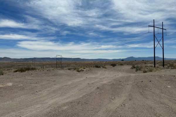
Top Of The World
This scenic ridge-top trail with wide views and mostly consistent elevation features some minor ruts but is generally smooth along the top of the hills. Multiple offshoots branch down both sides of the hills, offering access to different routes and obstacles. The trail ends at an area with multiple ...
Learn more about Top Of The World
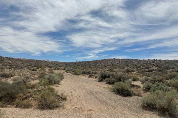
Earth Wash
Earth Wash Trail features sand sections where maintaining momentum can be important. A portion of the route is blocked, but following the mapped trail avoids the blocked portion and instead leads to an old water tank and back to the other trails and hills in the area. Mostly a sandy exploration rout...
Learn more about Earth Wash
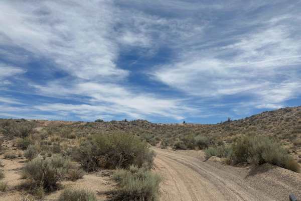
Through Mars
This is a river wash trail featuring deeper sand sections, winding turns, and gradual hill climbs near the end. The route runs along the bottom of two small hills with changing terrain throughout. Located in the Montessa OHV Park area and suitable for vehicles prepared for sandy conditions. "Big Dig...
Learn more about Through Mars
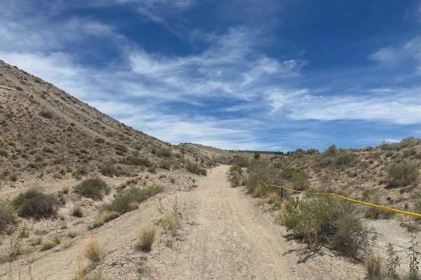
Edge of the Earth
This trail is a roller-coaster-style trail with constant ups and downs over small hills, deep ruts, and sandy terrain. Minimum 33-inch tires recommended due to the uneven terrain and deeper sand sections. Lockers are not required. The trail is mostly manageable until you drop into the wash, where a ...
Learn more about Edge of the Earth
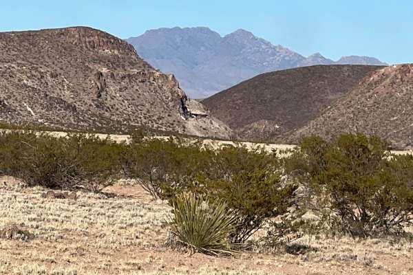
Puertecito of Bowling Green
This relatively flat, sandy route travels on the east side of the Veranito Wilderness Study Area and the south side of the Sevilleta National Wildlife Refuge. There are some erosion issues, especially toward the end of the route. It dead ends at a geological gap curiously named Puertecito of Bowling...
Learn more about Puertecito of Bowling Green
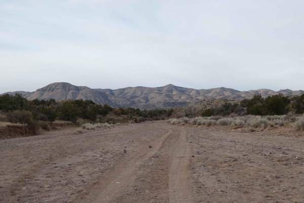
Short Wash
Short Wash is just as exactly as it's named. The very short wash track will take drivers over a very soft sand and shale surface through some great scenery that will easily be completed by most AWD and 4WD or 4X4 vehicles. While the center of the track has no major obstacles, the outer edges of the ...
Learn more about Short Wash
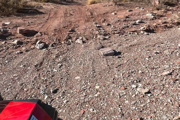
Little Challenge
This beautiful, narrow route is a little challenging in spots. Fortunately, the challenges are navigable and not very dangerous. If you get into trouble, there are various places to have another vehicle help out. The main issues are deep sand, arroyo crossings, erosion, and rocks. Soaring hawks and ...
Learn more about Little Challenge
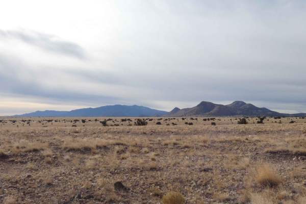
Jack's Valley
Jack's Valley begins on a wide-open and almost unobstructed two-track trail that gradually becomes extremely narrow once in the canyon. The beginning of the trail is a combination of dirt and rocks with only a couple of small washes and no major obstacles. After 3.5 miles into the track, there are s...
Learn more about Jack's Valley
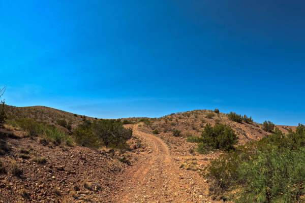
East Loop
East Loop is a part of the Gordy’s Johnson Trail Network System. This is a simple trail, crossing over a canyon to easily get to another portion of the trail system. Expect loose rock and some gradual hills. There are a few eroded spots that have wide enough trails that you will be able to bypass th...
Learn more about East Loop
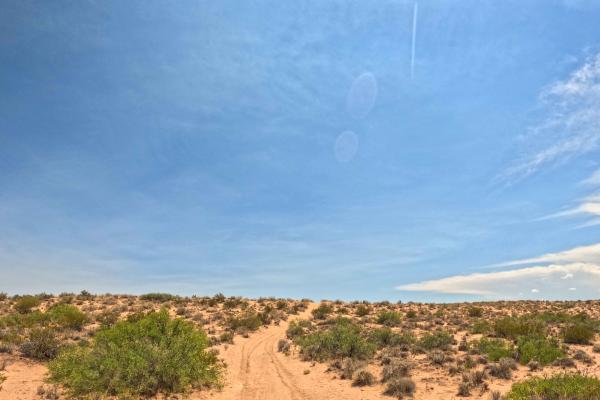
JH0099
JH0099 is a part of the Gordy's Trail system. It starts as an easy, mostly Level 2 trail with some unmaintained sections. It becomes steeper and more challenging with ruts, off-camber terrain, and climbs and descents over the mountains. One deep sand climb may require using an alternate route, which...
Learn more about JH0099
ATV trails near Pueblitos, New Mexico
Explore ATV-friendly trails near you. These trails are accessible for vehicles up to 50 inches wide, perfect for ATVs and smaller off-road machines.
Powerline Pass
A nice trail for beginners wanting a fun challenge. This trail is packed with rocks, washed-out roads and a few steep inclines to keep you on your toes. Go with a buddy due to a large amount of sharp rocks and cactus. While on the trail you'll have sights of huge open fields and desert, surrounded b...
Learn more about Powerline Pass
Windmill
This is a spur trail off Riley CR 12. It winds around some small hills and ends at a picturesque windmill, watering tank, and building ruins. The majestic Ladron mountains create the backdrop. Locals target shoot in this area so listen for shooting before venturing onto this trail.
Learn more about Windmill
Riley CR 12
This is a wide-open sky drive that starts on the northwest side of the Sevilleta Wildlife Refuge. It winds around the striking Ladron (Thieves) Mountain. There are a few scattered ranches but most of the area is owned by the federal Bureau of Land Management that borders the Wildlife Refuge. The Lad...
Learn more about Riley CR 12
Red Canyon Campground
This is an easy route to the beautiful, well-shaded, and peaceful Red Canyon Campground. The campground is at 7,600 feet in elevation. It can accommodate RVs up to 22 feet. It is easy access to the Manzano Wilderness on the Red and Spruce Canyon trails on foot or horseback. The campground has corr...
Learn more about Red Canyon Campground
UTV/side-by-side trails near Pueblitos, New Mexico
Find UTV and side-by-side trails near you. These trails accommodate vehicles up to 60 inches wide, ideal for UTVs, side-by-sides, and wider off-road rigs.
Windmill
This is a spur trail off Riley CR 12. It winds around some small hills and ends at a picturesque windmill, watering tank, and building ruins. The majestic Ladron mountains create the backdrop. Locals target shoot in this area so listen for shooting before venturing onto this trail.
Learn more about Windmill
Riley CR 12
This is a wide-open sky drive that starts on the northwest side of the Sevilleta Wildlife Refuge. It winds around the striking Ladron (Thieves) Mountain. There are a few scattered ranches but most of the area is owned by the federal Bureau of Land Management that borders the Wildlife Refuge. The Lad...
Learn more about Riley CR 12
Red Canyon Campground
This is an easy route to the beautiful, well-shaded, and peaceful Red Canyon Campground. The campground is at 7,600 feet in elevation. It can accommodate RVs up to 22 feet. It is easy access to the Manzano Wilderness on the Red and Spruce Canyon trails on foot or horseback. The campground has corr...
Learn more about Red Canyon Campground
FS 422 Priest Canyon
This route travels through the southern tip of the Manzano Mountains and connects the village of Manzano on State Highway 131 with State Highway 60. It travels along a right-of-way through private property on both ends before entering the Cibola Forest. The trail can be dusty and has a few low water...
Learn more about FS 422 Priest Canyon
The onX Offroad Difference
onX Offroad combines trail photos, descriptions, difficulty ratings, width restrictions, seasonality, and more in a user-friendly interface. Available on all devices, with offline access and full compatibility with CarPlay and Android Auto. Discover what you're missing today!
Open Trail Map