Trail Overview
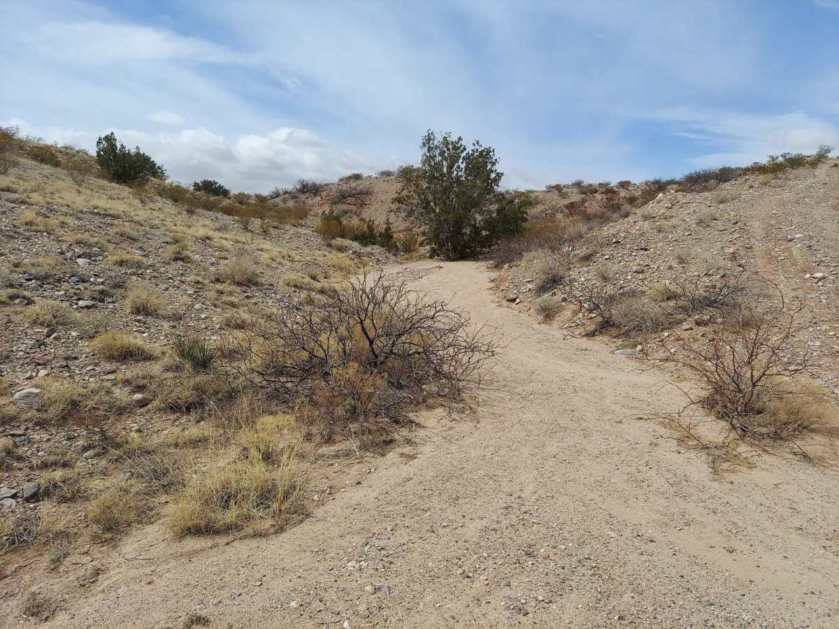
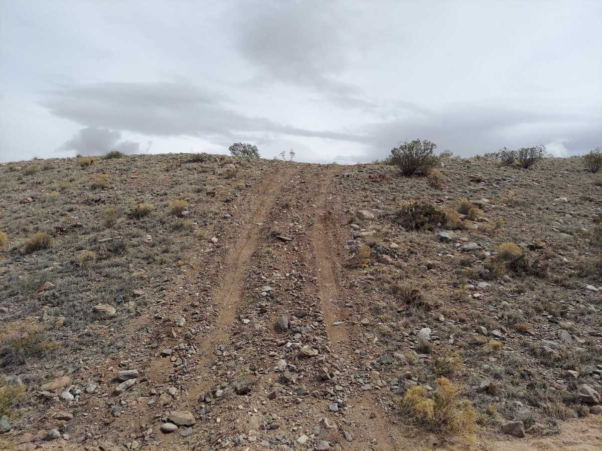
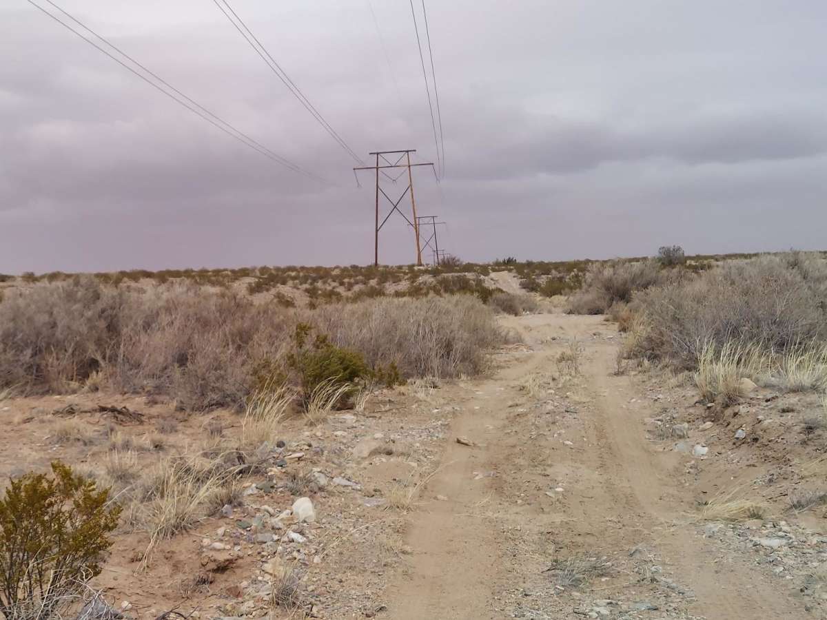
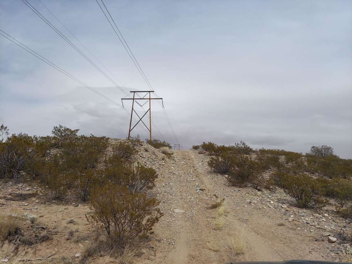
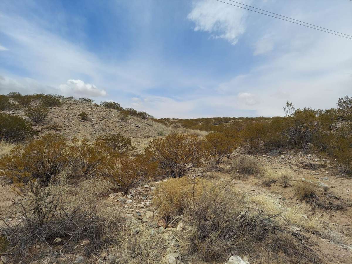
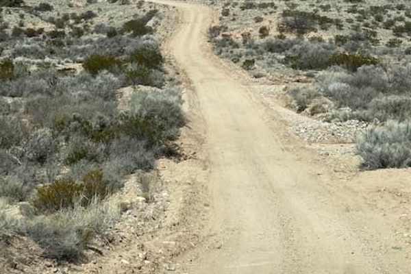
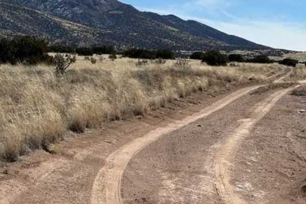
Powerline Pass is a 1.8-mile off-road trail traversing Bureau of Land Management land northwest of Socorro, New Mexico. Ideal for beginners, the route features a mix of dirt, loose gravel, and embedded rock with minimal elevation change, sitting between 4,944 and 5,029 feet. Drivers will encounter mild challenges, including a few steep inclines and washed-out crossings that require careful tire placement.
High-clearance 4WD vehicles or capable stock SUVs can easily handle the trail under dry conditions. However, heavy rains can quickly flood the crossings with water and mud, drastically increasing the difficulty. The route offers scenic, wide-open views of desert plains and distant mountain ranges.
Difficulty
There are many washed-out crossings that will fill with water if it rains heavily, which would make the trail a lot more difficult, and there are a few steep inclines that might intimidate some people.
Access Description
The trail is located on public land managed by the Bureau of Land Management (BLM) Socorro Field Office. No permits or fees are required to access the route. Standard desert travel precautions apply, including carrying extra water, a spare tire, and a recovery kit due to sharp rocks and remote conditions.