
Dirt Bike Trails
Near Pitts, Georgia
Explore All Dirt Bike Trails Near Pitts, Georgia
Dirt Bike Trails Near Pitts, Georgia
Discover the best dirt bike trails near you. Browse trail maps, check difficulty ratings, and find your next adventure — whether you're looking for a quick ride or an all-day expedition.
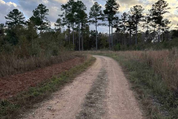
Mud Creek Road
The Mud Creek Road connects GA-62 at the north entrance and the Seven Bridge Road at the south end. The trail gives you access to the Gut Pit and several other trails in the Chickasawhatchee Wildlife Management Area. The road conditions are a mixture of packed sand, loose sand, and some deep holes t...
Learn more about Mud Creek Road
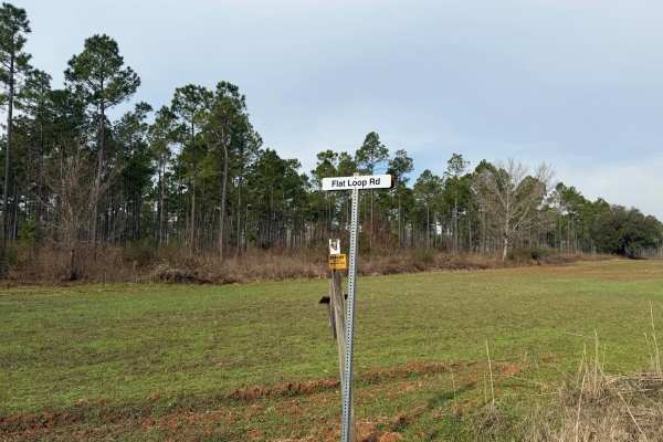
Flat Hole Loop
Flat Hole Loop runs through the southeastern quadrant of the Chickasawhatchee Wildlife Management Area (WMA). Only street-legal, registered, and licensed vehicles are permitted. Additionally, the Georgia Department of Natural Resources (GADNR) requires individuals to be in possession of the Georgia ...
Learn more about Flat Hole Loop
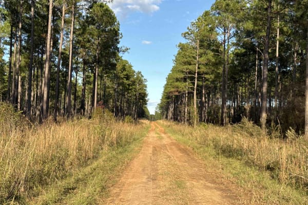
Pine Island Road
The Pine Island Road connects GA-62 at the north end and the Seven Bridge Road at the south end. The trail gives you access to the Mike Commander Shooting Range at the Chickasawhatchee Wildlife Management Area. The road conditions are a mixture of packed sand, loose sand, and some deep holes that ca...
Learn more about Pine Island Road
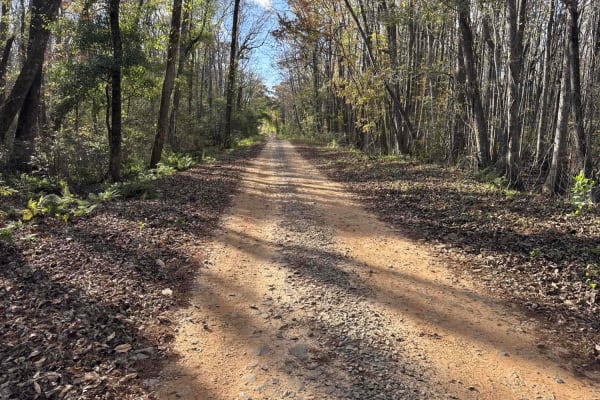
Chickasawhatchee Road
The Chickasawhatchee Road connects the north entrance at GA-62 and the west entrance at GA-37. The trail gives you access to the Campground and several other trails in the Chickasawhatchee Wildlife Management Area. The road conditions are a mixture of packed sand, loose sand and some deep holes that...
Learn more about Chickasawhatchee Road
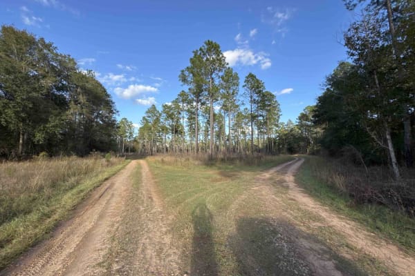
Seven Bridge Road
The Seven Bridge Road connects the Chickasawhatchee Road at the west end and the Mud Creek Road at the east end. The trail takes you through the Chickasawhatchee Wildlife Management Area and crosses the waterways several times. The road conditions are a mixture of packed sand, loose sand, and some d...
Learn more about Seven Bridge Road
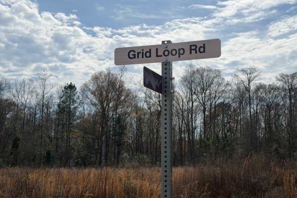
Grid Loop Road
Grid Loop Road runs through the southeastern quadrant of the Chickasawhatchee Wildlife Management Area (WMA). Only street-legal, registered, and licensed vehicles are permitted. Additionally, the Georgia Department of Natural Resources (GADNR) requires individuals to be in possession of the Georgia ...
Learn more about Grid Loop Road
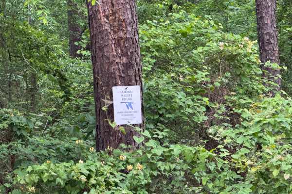
Five Points Road
Five Points Road is an east-west county road traversing through the midsection of the Piedmont NWR. It is a well-maintained, packed clay surface, two lanes wide for easy travel. There are about a dozen side roads that have been gated off and are marked for foot travel only. These side roads provide ...
Learn more about Five Points Road
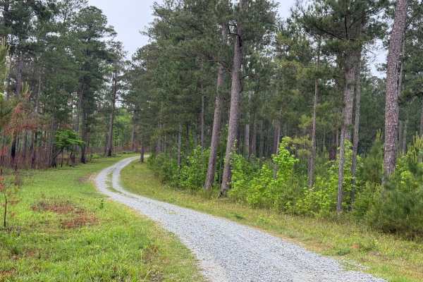
5 Points Lake North Access
5 Points Lake North Access road is a short, single-lane, wide, graveled roadway in the Piedmont NWR. It leads from Five Points Road down to Five Points Lake from the north side of the lake. It is one of two access roads to the lake, the other being the 5 Points Lake East Access. The road is well-mai...
Learn more about 5 Points Lake North Access
ATV trails near Pitts, Georgia
Explore ATV-friendly trails near you. These trails are accessible for vehicles up to 50 inches wide, perfect for ATVs and smaller off-road machines.
Mud Creek Road
The Mud Creek Road connects GA-62 at the north entrance and the Seven Bridge Road at the south end. The trail gives you access to the Gut Pit and several other trails in the Chickasawhatchee Wildlife Management Area. The road conditions are a mixture of packed sand, loose sand, and some deep holes t...
Learn more about Mud Creek Road
Pine Island Road
The Pine Island Road connects GA-62 at the north end and the Seven Bridge Road at the south end. The trail gives you access to the Mike Commander Shooting Range at the Chickasawhatchee Wildlife Management Area. The road conditions are a mixture of packed sand, loose sand, and some deep holes that ca...
Learn more about Pine Island Road
Chickasawhatchee Road
The Chickasawhatchee Road connects the north entrance at GA-62 and the west entrance at GA-37. The trail gives you access to the Campground and several other trails in the Chickasawhatchee Wildlife Management Area. The road conditions are a mixture of packed sand, loose sand and some deep holes that...
Learn more about Chickasawhatchee Road
Seven Bridge Road
The Seven Bridge Road connects the Chickasawhatchee Road at the west end and the Mud Creek Road at the east end. The trail takes you through the Chickasawhatchee Wildlife Management Area and crosses the waterways several times. The road conditions are a mixture of packed sand, loose sand, and some d...
Learn more about Seven Bridge Road
UTV/side-by-side trails near Pitts, Georgia
Find UTV and side-by-side trails near you. These trails accommodate vehicles up to 60 inches wide, ideal for UTVs, side-by-sides, and wider off-road rigs.
Mud Creek Road
The Mud Creek Road connects GA-62 at the north entrance and the Seven Bridge Road at the south end. The trail gives you access to the Gut Pit and several other trails in the Chickasawhatchee Wildlife Management Area. The road conditions are a mixture of packed sand, loose sand, and some deep holes t...
Learn more about Mud Creek Road
Pine Island Road
The Pine Island Road connects GA-62 at the north end and the Seven Bridge Road at the south end. The trail gives you access to the Mike Commander Shooting Range at the Chickasawhatchee Wildlife Management Area. The road conditions are a mixture of packed sand, loose sand, and some deep holes that ca...
Learn more about Pine Island Road
Chickasawhatchee Road
The Chickasawhatchee Road connects the north entrance at GA-62 and the west entrance at GA-37. The trail gives you access to the Campground and several other trails in the Chickasawhatchee Wildlife Management Area. The road conditions are a mixture of packed sand, loose sand and some deep holes that...
Learn more about Chickasawhatchee Road
Seven Bridge Road
The Seven Bridge Road connects the Chickasawhatchee Road at the west end and the Mud Creek Road at the east end. The trail takes you through the Chickasawhatchee Wildlife Management Area and crosses the waterways several times. The road conditions are a mixture of packed sand, loose sand, and some d...
Learn more about Seven Bridge Road
The onX Offroad Difference
onX Offroad combines trail photos, descriptions, difficulty ratings, width restrictions, seasonality, and more in a user-friendly interface. Available on all devices, with offline access and full compatibility with CarPlay and Android Auto. Discover what you're missing today!
Open Trail Map