
Dirt Bike Trails
Near Panacea, Florida
Explore All Dirt Bike Trails Near Panacea, Florida
Dirt Bike Trails Near Panacea, Florida
Discover the best dirt bike trails near you. Browse trail maps, check difficulty ratings, and find your next adventure — whether you're looking for a quick ride or an all-day expedition.
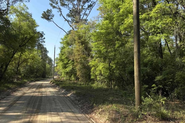
Bostic Pelt-Lawhorn Mill - Apalachicola FR 356
The Bostic Pelt-Lawhorn Mill Trail, also known as Apalachicola National Forest Road 356, connects US 319 at the south end and Lawhorn Mill Road at the north end. It takes you through the eastern part of the Apalachicola National Forest and gives you access to the Wakulla Equestrian Center. The road ...
Learn more about Bostic Pelt-Lawhorn Mill - Apalachicola FR 356
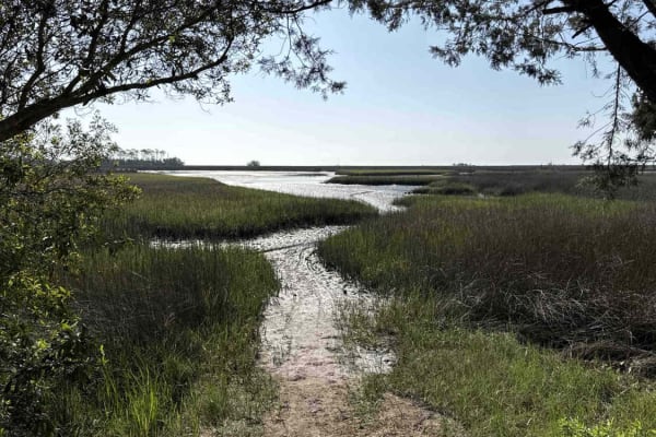
Purify Bay Road
The Purify Bay Road takes you through the western part of the St. Marks National Wildlife Refuge and gives you access to the Purify Creek Park that offers several paddling trails. The road conditions are a mixture of packed sand, loose sand, some deep holes, and ditches that can turn into 2-foot dee...
Learn more about Purify Bay Road
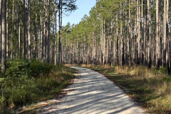
Ashmore - Apalachicola FR 321
The Ashmore Trail, also known as Apalachicola National Forest Road 321, connects US 319 at the south end and US 319 at the north end. It takes you through the eastern part of the Apalachicola National Forest and gives you access to several OHV trails. The road conditions are a mixture of packed sand...
Learn more about Ashmore - Apalachicola FR 321
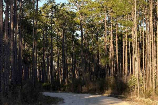
Sopchoppy - FS 365
Sopchoppy, also known as Apalachicola National Forest Road 365, connects CR 13 at the north end and Oak Park Road at the south end. It takes you through the north-east part of the Apalachicola National Forest and gives you access to several trails surrounding the Bradwell Bay Wilderness and the Oak ...
Learn more about Sopchoppy - FS 365
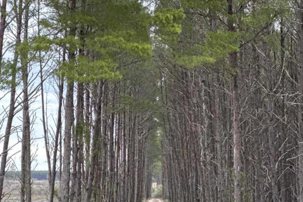
Silver Lake Road
Silver Lake Road takes you through the St. James Island Unit southeast of Tate's Hell State Forest. The road ends on the west side of the Bald Point State Park. The road conditions are a mixture of packed sand, loose sand, and deep holes that can turn into 2 feet deep mud holes after rainy days. Som...
Learn more about Silver Lake Road
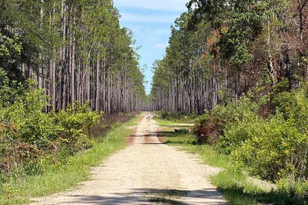
McIntyre - FS 340
McIntyre, also known as Apalachicola National Forest Road 340, connects CR-375 at the north end and CR-299 at the south end. It takes you through the northeast part of the Apalachicola National Forest and gives you access to several OHV and Off-road trails in the area. The road conditions are a mixt...
Learn more about McIntyre - FS 340
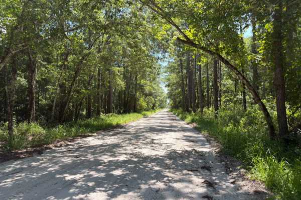
Stephen C Revell Road - FS 343
Stephen C Revell Road, also known as Apalachicola National Forest Road 343, connects Sopchoppy at the north end and Greenough Road at the south end. It takes you through the northeast part of the Apalachicola National Forest and gives you access to the Florida Scenic Trail. The road conditions are a...
Learn more about Stephen C Revell Road - FS 343
Lawhorn Bay - FS 357
Lawhorn Bay, also known as Apalachicola National Forest Road 357, connects Sopchoppy at the west end and Lawhorn Mill Road at the east end. It takes you through the north-east part of the Apalachicola National Forest and gives you access to several trails in the area. The road conditions are a mixtu...
Learn more about Lawhorn Bay - FS 357
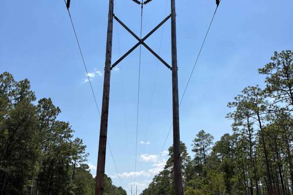
Powerline - FS 365J
Forest Road 365J connects Little Hammock at the north end and Sopchoppy at the south end. It takes you through the northeast part of the Apalachicola National Forest along the Power Lines. The road conditions are a mixture of packed sand, loose sand, and some deep holes that can turn into 2-foot-dee...
Learn more about Powerline - FS 365J
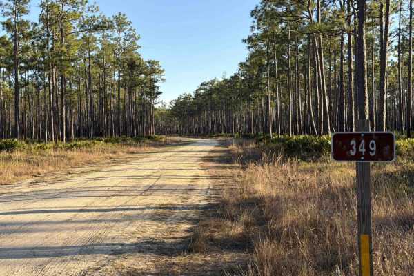
Sopchoppy Branch - FS 349
Sopchoppy Branch, also known as Apalachicola National Forest Road 349, connects Little Hammock at the north end and Sopchoppy at the south end. It takes you through the north-east part of the Apalachicola National Forest and gives you access to several trails in the area. The road conditions are a m...
Learn more about Sopchoppy Branch - FS 349
Little Hammock - FS 348
Little Hammock, also known as Apalachicola National Forest Road 348, connects Brown House at the north end and Sopchoppy at the south end. It's a more than 10-mile-long trail that takes you through the north-east part of the Apalachicola National Forest and gives you access to several trails surroun...
Learn more about Little Hammock - FS 348
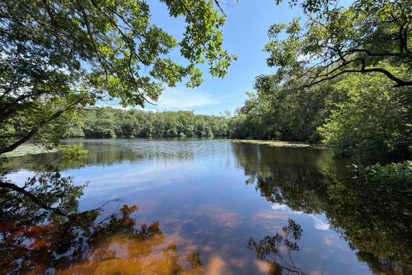
Alligator Swamp - FS 338
Alligator Swamp, also known as Apalachicola National Forest Road 338, connects McIntyre at the north end and CR-299 at the south end. It takes you through the northeast part of the Apalachicola National Forest and gives you access to the Wood Lake Campground, a boat ramp, and a picnic area at Syfret...
Learn more about Alligator Swamp - FS 338
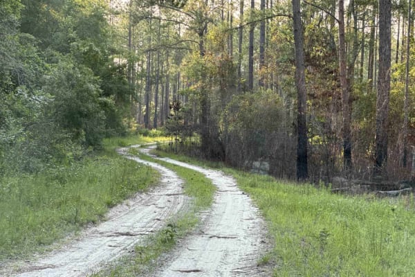
Nick's Camp Road
Nick's Camp Road takes you from Jeff Sanders Road to Nick's Road Landing Campsite 27 in the Womack Creek Tract of Tate's Hell State Forest. Site 27 is a primitive campsite with access to Womack Creek. The road conditions are a mixture of packed sand, loose sand, and some deep holes that can turn int...
Learn more about Nick's Camp Road
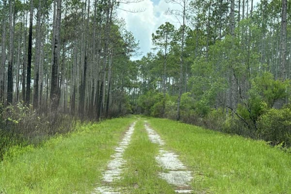
Camp Loop Road
Camp Loop Road takes you from Jeff Sanders Road to Loop Road Camp 28 in the Womack Creek Tract of Tate's Hell State Forest. Site 28 is a primitive campsite with access to Crooked River. The road conditions are a mixture of packed sand, loose sand, and some deep holes that can turn into 2-foot-deep m...
Learn more about Camp Loop Road
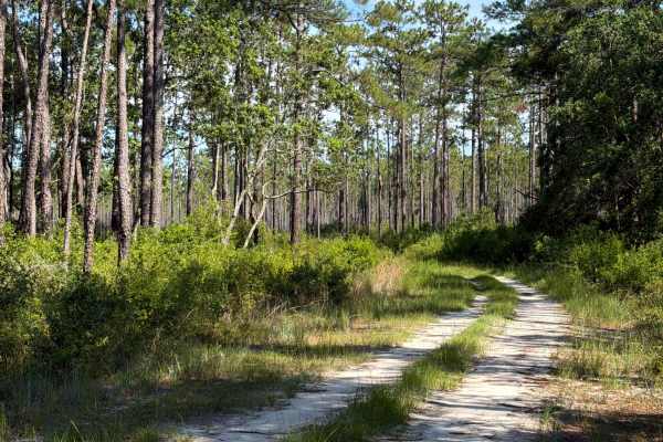
McIntyre - FS 345
McIntyre, also known as Apalachicola National Forest Road 345, connects CR-375 at the south end and Bradwell Bay at the north end. It takes you through the northeast part of the Apalachicola National Forest and gives you access to several OHV and Off-road trails in the area. The road conditions are ...
Learn more about McIntyre - FS 345
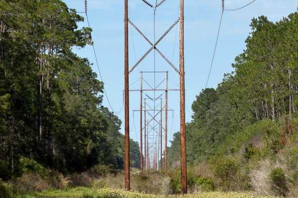
Powerline - FS 341A
Forest Road 341A connects Winton at the north end and McIntyre (FS 345) at the south end. It takes you through the northeast part of the Apalachicola National Forest along the Power Lines. The road conditions are a mixture of packed sand, loose sand, and some deep holes that can turn into 3-4 feet d...
Learn more about Powerline - FS 341A
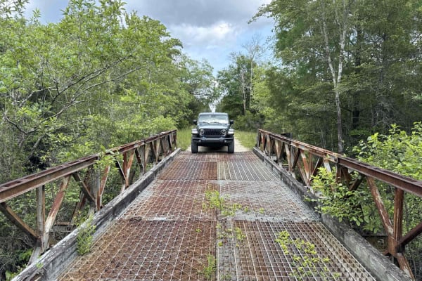
Rock Landing Road
Rock Landing Road takes you through the east and west parts of Tate's Hell State Forest. You will find the Rock Landing Recreation Area on the east end with a boat ramp to access Crooked River, primitive Campsites 41-43, a restroom, and a picnic area. The road ends on the west side at New River. You...
Learn more about Rock Landing Road

Winton - FS 341
The Winton Trail, also known as Apalachicola National Forest Road 341, connects Monkey Creek at the east end and Bradwell Bay at the west end. It takes you through the north-east part of the Apalachicola National Forest and gives you access to several trails surrounding the Bradwell Bay Wilderness. ...
Learn more about Winton - FS 341
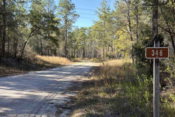
Monkey Creek - FS 346
Monkey Creek, also known as Apalachicola National Forest Road 346, connects Stephen C Revell Road at the east end and Bradwell Bay at the west end. It takes you through the north-east part of the Apalachicola National Forest and gives you access to several trails surrounding the Bradwell Bay Wildern...
Learn more about Monkey Creek - FS 346
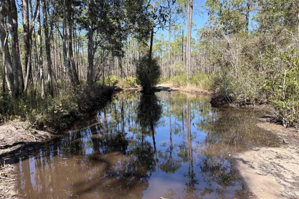
Ditch Bay - FS 351
Ditch Bay, also known as Apalachicola National Forest Road 351, connects Forest Highway 13 at the north end and Little Hammock at the south end. It takes you through the north-east part of the Apalachicola National Forest and gives you access to several OHV trails surrounding the Bradwell Bay Wilder...
Learn more about Ditch Bay - FS 351
ATV trails near Panacea, Florida
Explore ATV-friendly trails near you. These trails are accessible for vehicles up to 50 inches wide, perfect for ATVs and smaller off-road machines.
Bostic Pelt-Lawhorn Mill - Apalachicola FR 356
The Bostic Pelt-Lawhorn Mill Trail, also known as Apalachicola National Forest Road 356, connects US 319 at the south end and Lawhorn Mill Road at the north end. It takes you through the eastern part of the Apalachicola National Forest and gives you access to the Wakulla Equestrian Center. The road ...
Learn more about Bostic Pelt-Lawhorn Mill - Apalachicola FR 356
Purify Bay Road
The Purify Bay Road takes you through the western part of the St. Marks National Wildlife Refuge and gives you access to the Purify Creek Park that offers several paddling trails. The road conditions are a mixture of packed sand, loose sand, some deep holes, and ditches that can turn into 2-foot dee...
Learn more about Purify Bay Road
Ashmore - Apalachicola FR 321
The Ashmore Trail, also known as Apalachicola National Forest Road 321, connects US 319 at the south end and US 319 at the north end. It takes you through the eastern part of the Apalachicola National Forest and gives you access to several OHV trails. The road conditions are a mixture of packed sand...
Learn more about Ashmore - Apalachicola FR 321
Sopchoppy - FS 365
Sopchoppy, also known as Apalachicola National Forest Road 365, connects CR 13 at the north end and Oak Park Road at the south end. It takes you through the north-east part of the Apalachicola National Forest and gives you access to several trails surrounding the Bradwell Bay Wilderness and the Oak ...
Learn more about Sopchoppy - FS 365
UTV/side-by-side trails near Panacea, Florida
Find UTV and side-by-side trails near you. These trails accommodate vehicles up to 60 inches wide, ideal for UTVs, side-by-sides, and wider off-road rigs.
Bostic Pelt-Lawhorn Mill - Apalachicola FR 356
The Bostic Pelt-Lawhorn Mill Trail, also known as Apalachicola National Forest Road 356, connects US 319 at the south end and Lawhorn Mill Road at the north end. It takes you through the eastern part of the Apalachicola National Forest and gives you access to the Wakulla Equestrian Center. The road ...
Learn more about Bostic Pelt-Lawhorn Mill - Apalachicola FR 356
Purify Bay Road
The Purify Bay Road takes you through the western part of the St. Marks National Wildlife Refuge and gives you access to the Purify Creek Park that offers several paddling trails. The road conditions are a mixture of packed sand, loose sand, some deep holes, and ditches that can turn into 2-foot dee...
Learn more about Purify Bay Road
Ashmore - Apalachicola FR 321
The Ashmore Trail, also known as Apalachicola National Forest Road 321, connects US 319 at the south end and US 319 at the north end. It takes you through the eastern part of the Apalachicola National Forest and gives you access to several OHV trails. The road conditions are a mixture of packed sand...
Learn more about Ashmore - Apalachicola FR 321
Sopchoppy - FS 365
Sopchoppy, also known as Apalachicola National Forest Road 365, connects CR 13 at the north end and Oak Park Road at the south end. It takes you through the north-east part of the Apalachicola National Forest and gives you access to several trails surrounding the Bradwell Bay Wilderness and the Oak ...
Learn more about Sopchoppy - FS 365
The onX Offroad Difference
onX Offroad combines trail photos, descriptions, difficulty ratings, width restrictions, seasonality, and more in a user-friendly interface. Available on all devices, with offline access and full compatibility with CarPlay and Android Auto. Discover what you're missing today!
Open Trail Map