
Dirt Bike Trails
Near Ochelata, Oklahoma
Explore All Dirt Bike Trails Near Ochelata, Oklahoma
Dirt Bike Trails Near Ochelata, Oklahoma
Discover the best dirt bike trails near you. Browse trail maps, check difficulty ratings, and find your next adventure — whether you're looking for a quick ride or an all-day expedition.
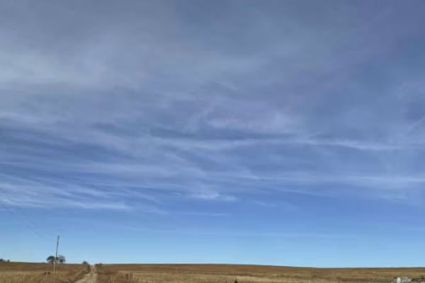
Four Bridges East
This trail is Part 2 of the Four Bridges route and leads to the final historic stone arch bridge. The route follows a narrow gravel road with a low water crossing and features a 100-year-old hand-built stone arch bridge, local wildlife, and vibrant fall colors. After completing the trail, visit Cowl...
Learn more about Four Bridges East

Four Bridges West
This trail follows primarily narrow gravel roads with a few low water crossings and leads to four historic limestone arch bridges that were hand-built over 100 years ago. Highlights include Badger Creek Bridge, Muret Bridge, Crab Creek Bridge, and the Kirk/Pudden Spur Bridge, all recognized as histo...
Learn more about Four Bridges West
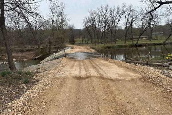
Whitewater Community Trail
The Whitewater Community Trail is part of the GOAT (Green Country Oklahoma Adventure Tour). This trail will take you through the back county of northeast Oklahoma on a mix of smooth and rough dirt roads connected with short bits of pavement where necessary. There are 2-3 water crossings (under 12") ...
Learn more about Whitewater Community Trail
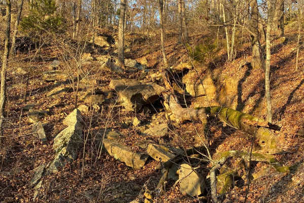
The Shaft
The shaft is a steep, rocky, loose trail with a waterfall-type ledge in the middle that is about 5-6 feet tall. The trail starts at the bottom of the creek, known as heartbreak ridge. Lockers, winches, and large tires 40s or larger are suggested. The trail ends back on the Gomer Pyle loop just west ...
Learn more about The Shaft
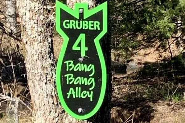
Bang Bang Alley
This trail is a slight up hill climb, few rocks to negotiate, water flowing on trail if recently rained, and tight woods. Begins on the power line area and ends near the county road inside the park. Beautiful fall foliage in the autumn, the potential for some snow covering the trail in the winter.
Learn more about Bang Bang Alley
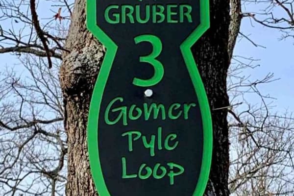
Gomer Pyle Loop
This trail is the Main Loop trail around the border of Gruber ORV Park. It is the easiest trail in the park and begins and ends near the entrance to the park. It has multiple types of terrain from rocks, dirt, berms, and ledges, and one of the most views of the Arkansas River and communities of Musk...
Learn more about Gomer Pyle Loop
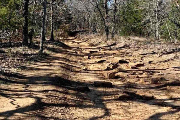
Interceptor
Easy terrain, wide enough for a full-size vehicle, widens out halfway through, then single vehicle again. This trail begins in the powerline area and finishes at the county road that runs through the park. Fun to go one way, turn around, and go back the other way. Look for wildlife to the left and r...
Learn more about Interceptor
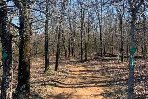
Bunker Hill Loop
Great trail that makes a loop, can do it over and over again! Several other trails branch off to other areas of the park. This is a relatively easy ride, but several tight squeezes between trees, Full-size rigs, beware! Be prepared for several left, right, left, and right turns to make it through th...
Learn more about Bunker Hill Loop
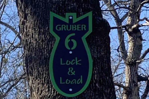
Lock & Load
On this trail, you'll find a beautiful creek with large rocks and an active stream. It is great for rock crawling and flexing out your rig. If you make it up, turn around and try it going down. "Escape" the path halfway through in case you are in over your head. Damage to the rig is possible.
Learn more about Lock & Load
ATV trails near Ochelata, Oklahoma
Explore ATV-friendly trails near you. These trails are accessible for vehicles up to 50 inches wide, perfect for ATVs and smaller off-road machines.
Four Bridges East
This trail is Part 2 of the Four Bridges route and leads to the final historic stone arch bridge. The route follows a narrow gravel road with a low water crossing and features a 100-year-old hand-built stone arch bridge, local wildlife, and vibrant fall colors. After completing the trail, visit Cowl...
Learn more about Four Bridges East
Four Bridges West
This trail follows primarily narrow gravel roads with a few low water crossings and leads to four historic limestone arch bridges that were hand-built over 100 years ago. Highlights include Badger Creek Bridge, Muret Bridge, Crab Creek Bridge, and the Kirk/Pudden Spur Bridge, all recognized as histo...
Learn more about Four Bridges West
The Shaft
The shaft is a steep, rocky, loose trail with a waterfall-type ledge in the middle that is about 5-6 feet tall. The trail starts at the bottom of the creek, known as heartbreak ridge. Lockers, winches, and large tires 40s or larger are suggested. The trail ends back on the Gomer Pyle loop just west ...
Learn more about The Shaft
Bang Bang Alley
This trail is a slight up hill climb, few rocks to negotiate, water flowing on trail if recently rained, and tight woods. Begins on the power line area and ends near the county road inside the park. Beautiful fall foliage in the autumn, the potential for some snow covering the trail in the winter.
Learn more about Bang Bang Alley
UTV/side-by-side trails near Ochelata, Oklahoma
Find UTV and side-by-side trails near you. These trails accommodate vehicles up to 60 inches wide, ideal for UTVs, side-by-sides, and wider off-road rigs.
Four Bridges East
This trail is Part 2 of the Four Bridges route and leads to the final historic stone arch bridge. The route follows a narrow gravel road with a low water crossing and features a 100-year-old hand-built stone arch bridge, local wildlife, and vibrant fall colors. After completing the trail, visit Cowl...
Learn more about Four Bridges East
Four Bridges West
This trail follows primarily narrow gravel roads with a few low water crossings and leads to four historic limestone arch bridges that were hand-built over 100 years ago. Highlights include Badger Creek Bridge, Muret Bridge, Crab Creek Bridge, and the Kirk/Pudden Spur Bridge, all recognized as histo...
Learn more about Four Bridges West
Whitewater Community Trail
The Whitewater Community Trail is part of the GOAT (Green Country Oklahoma Adventure Tour). This trail will take you through the back county of northeast Oklahoma on a mix of smooth and rough dirt roads connected with short bits of pavement where necessary. There are 2-3 water crossings (under 12") ...
Learn more about Whitewater Community Trail
The Shaft
The shaft is a steep, rocky, loose trail with a waterfall-type ledge in the middle that is about 5-6 feet tall. The trail starts at the bottom of the creek, known as heartbreak ridge. Lockers, winches, and large tires 40s or larger are suggested. The trail ends back on the Gomer Pyle loop just west ...
Learn more about The Shaft
The onX Offroad Difference
onX Offroad combines trail photos, descriptions, difficulty ratings, width restrictions, seasonality, and more in a user-friendly interface. Available on all devices, with offline access and full compatibility with CarPlay and Android Auto. Discover what you're missing today!
Open Trail Map