
Dirt Bike Trails
Near Naples Park, Florida
Explore All Dirt Bike Trails Near Naples Park, Florida
Dirt Bike Trails Near Naples Park, Florida
Discover the best dirt bike trails near you. Browse trail maps, check difficulty ratings, and find your next adventure — whether you're looking for a quick ride or an all-day expedition.
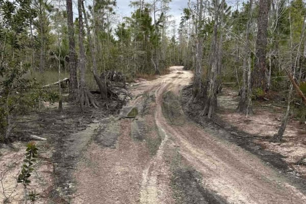
Shortcut Trail
The Shortcut Trail connects the Triple G Loop South with the Blue Trail in the Picayune Strand State Forest. Picayune Strand State Forest is in the heart of the Big Cypress Basin. The majority of this hydric forest is under water during the wet season. The forest is a mosaic of cypress strands, wet ...
Learn more about Shortcut Trail
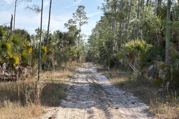
Kirkland Hammock Trail
The Kirkland Hammock Trail is a loop trail that starts and ends at the Blue Trail in the northwest part of the Picayune Strand State Forest. Picayune Strand State Forest is in the heart of the Big Cypress Basin. The majority of this hydric forest is under water during the wet season. The forest is a...
Learn more about Kirkland Hammock Trail
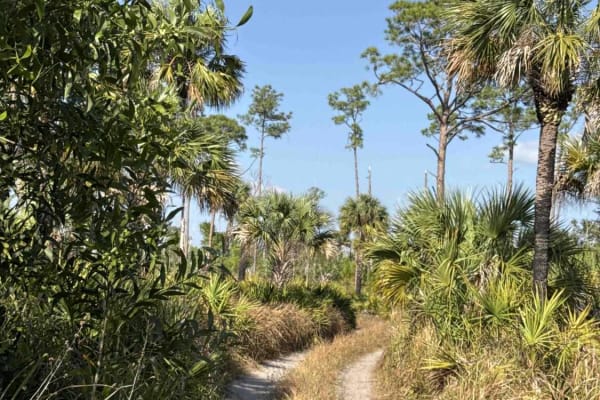
Blue Trail
The Blue Trail connects Millers Boulevard at the east end and the northwest entrance of the Picayune Strand State Forest. Picayune Strand State Forest is in the heart of the Big Cypress Basin. The majority of this hydric forest is under water during the wet season. The forest is a mosaic of cypress ...
Learn more about Blue Trail
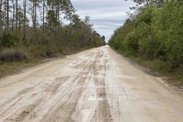
West Sabal Palm Road
The West Sabal Palm Road is one of the two main entrance roads to the Picayune Strand State Forest. Picayune Strand State Forest is in the heart of the Big Cypress Basin. The majority of this hydric forest is under water during the wet season. The forest is a mosaic of cypress strands, wet prairie, ...
Learn more about West Sabal Palm Road
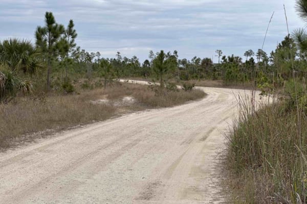
Triple G Loop South
The Tripple G Loop South connects West Sabal Palm Roa and East Sabal Palm Road and gives you access via the Shortcut Trail to the Blue and Pink Trail in the Picayune Strand State Forest. Picayune Strand State Forest is in the heart of the Big Cypress Basin. The majority of this hydric forest is unde...
Learn more about Triple G Loop South
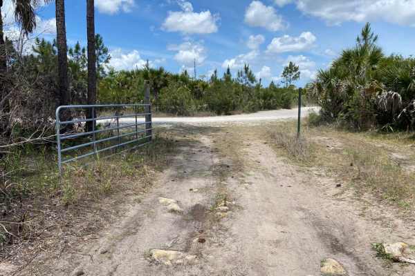
68th Ave Extension
This trail is located within the Picayune Strand State Forest and the Florida Fish and Wildlife Commission's (FWC) Picayune Strand Wildlife Management Area (WMA). This trail and the WMA are open to public recreational access year-round. Although access is open year-round, access is limited to regist...
Learn more about 68th Ave Extension
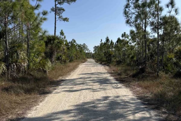
East Sabal Palm Road
The East Sabal Palm Road connects the Triple G Loop trail with the Miller Boulevard that gives you access to the east part of the Picayune Strand State Forest. Picayune Strand State Forest is in the heart of the Big Cypress Basin. The majority of this hydric forest is under water during the wet seas...
Learn more about East Sabal Palm Road
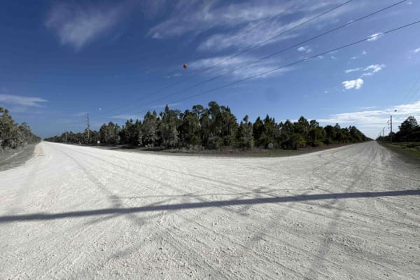
Berson Boulevard
The Berson Boulevard, also known as 52nd Ave SE, is a west to east trail in the Picayune Strand State Forest. The trail takes you from the Miller Boulevard all the way to the east of the Picayune Strand State Forest. The road gives you access to the Horseshoe Campground that offers primitive tent si...
Learn more about Berson Boulevard
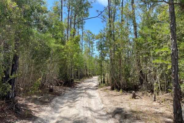
Oberlin Trail
This trail is located within the Picayune Strand State Forest and the Florida Fish and Wildlife Commission's (FWC) Picayune Strand Wildlife Management Area (WMA). This trail and WMA are open to public recreational access year-round. Although access is open year-round, it is limited to registered mot...
Learn more about Oberlin Trail
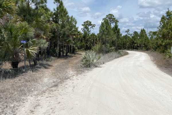
RCW Way
This trail is located within the Picayune Strand State Forest and the Florida Fish and Wildlife Commission's (FWC) Picayune Strand Wildlife Management Area (WMA). This trail and the WMA are open to public recreational access year-round. Although access is open year-round, access is limited to only r...
Learn more about RCW Way
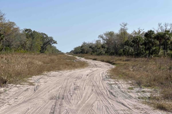
Stewart Boulevard
The Stewart Boulevard is a west-to-east trail that takes you all the way to the west end of the Fakahatchee Strand Preserve (no vehicle access) in the Picayune Strand State Forest. Picayune Strand State Forest is in the heart of the Big Cypress Basin. The majority of this hydric forest is under wate...
Learn more about Stewart Boulevard
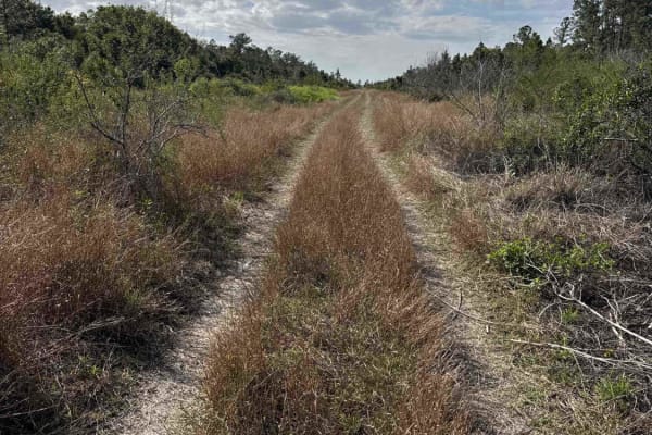
Merritt Boulevard North
The Merritt Boulevard North is a north to south trail that takes you from Berson Boulevard at the north end to Ironhorse at the south end in the northeast area of the Picayune Strand State Forest. Picayune Strand State Forest is in the heart of the Big Cypress Basin. The majority of this hydric fore...
Learn more about Merritt Boulevard North
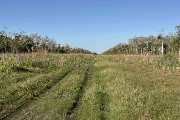
Lynch Boulevard
The Lynch Boulevard, also known as 128th Ave SE, is a west to east trail that takes you all the way to the east boundary of the Picayune Strand State Forest. Picayune Strand State Forest is in the heart of the Big Cypress Basin. The majority of this hydric forest is under water during the wet season...
Learn more about Lynch Boulevard
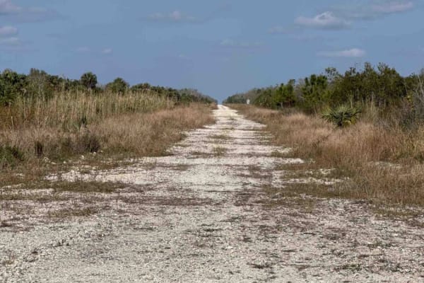
Miller Boulevard
The Miller Boulevard is a north to south trail, parallel to the Everglades Boulevard in the Picayune Strand State Forest. Picayune Strand State Forest is in the heart of the Big Cypress Basin. The majority of this hydric forest is under water during the wet season. The forest is a mosaic of cypress ...
Learn more about Miller Boulevard
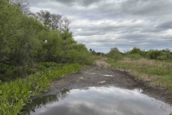
Boundary Trail
The Boundary Trail is a north to south trail that takes you from the east end of Stewart Boulevard along the boundary of the Fakahatchee Strand Preserve (no vehicle access) in the Picayune Strand State Forest. Picayune Strand State Forest is in the heart of the Big Cypress Basin. The majority of thi...
Learn more about Boundary Trail
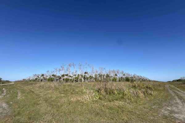
DeSoto Boulevard South
The DeSoto Boulevard South is a north to south trail that takes you from 96th Ave Southeast at the north end to the south end of the Picayune Strand State Forest. Picayune Strand State Forest is in the heart of the Big Cypress Basin. The majority of this hydric forest is under water during the wet s...
Learn more about DeSoto Boulevard South
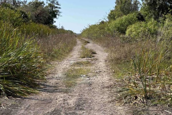
Merritt Boulevard South
The Merritt Boulevard South is a north to south trail that takes you from 96th Avenue Southeast at the north end to the south end of the Picayune Strand State Forest. Picayune Strand State Forest is in the heart of the Big Cypress Basin. The majority of this hydric forest is under water during the w...
Learn more about Merritt Boulevard South
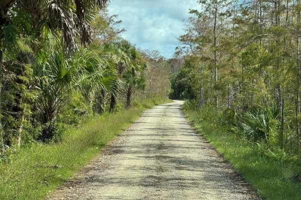
Bear Island Road
The Bear Island Road starts at Turner River Road at the north end of the Scenic Drive and takes you to the primitive Campground in the north part of the Big Cypress National Preserve. The Campground has more than 30 sites and a few composting toilets. The only three trails that require a $100 permit...
Learn more about Bear Island Road
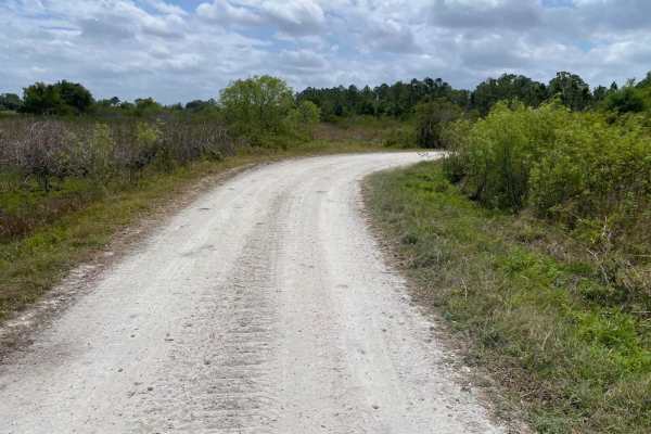
Albritton Loop
This trail and WMA are open to public recreational access year-round. Although open year-round, access is limited to registered motor vehicles only. Using airboats, all-terrain vehicles, recreational off-highway vehicles (side-by-sides), swamp buggies, tracked vehicles, or unlicensed or unregistered...
Learn more about Albritton Loop
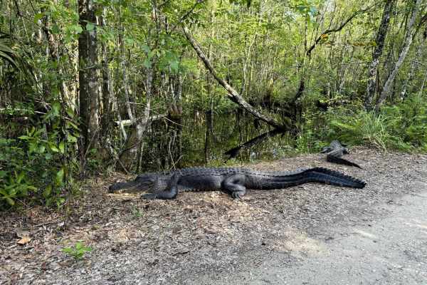
Janes Memorial Scenic Drive
The Janes Memorial Scenic Drive is the main access point to the majority of hiking and biking trails in the Fakahatchee Strand Preserve State Park. Fakahatchee Strand Preserve is the largest state park in Florida and is home to a variety of plant and animal species that can be found nowhere else in ...
Learn more about Janes Memorial Scenic Drive
ATV trails near Naples Park, Florida
Explore ATV-friendly trails near you. These trails are accessible for vehicles up to 50 inches wide, perfect for ATVs and smaller off-road machines.
Kirkland Hammock Trail
The Kirkland Hammock Trail is a loop trail that starts and ends at the Blue Trail in the northwest part of the Picayune Strand State Forest. Picayune Strand State Forest is in the heart of the Big Cypress Basin. The majority of this hydric forest is under water during the wet season. The forest is a...
Learn more about Kirkland Hammock Trail
Berson Boulevard
The Berson Boulevard, also known as 52nd Ave SE, is a west to east trail in the Picayune Strand State Forest. The trail takes you from the Miller Boulevard all the way to the east of the Picayune Strand State Forest. The road gives you access to the Horseshoe Campground that offers primitive tent si...
Learn more about Berson Boulevard
Merritt Boulevard North
The Merritt Boulevard North is a north to south trail that takes you from Berson Boulevard at the north end to Ironhorse at the south end in the northeast area of the Picayune Strand State Forest. Picayune Strand State Forest is in the heart of the Big Cypress Basin. The majority of this hydric fore...
Learn more about Merritt Boulevard North
Lynch Boulevard
The Lynch Boulevard, also known as 128th Ave SE, is a west to east trail that takes you all the way to the east boundary of the Picayune Strand State Forest. Picayune Strand State Forest is in the heart of the Big Cypress Basin. The majority of this hydric forest is under water during the wet season...
Learn more about Lynch Boulevard
UTV/side-by-side trails near Naples Park, Florida
Find UTV and side-by-side trails near you. These trails accommodate vehicles up to 60 inches wide, ideal for UTVs, side-by-sides, and wider off-road rigs.
Kirkland Hammock Trail
The Kirkland Hammock Trail is a loop trail that starts and ends at the Blue Trail in the northwest part of the Picayune Strand State Forest. Picayune Strand State Forest is in the heart of the Big Cypress Basin. The majority of this hydric forest is under water during the wet season. The forest is a...
Learn more about Kirkland Hammock Trail
Berson Boulevard
The Berson Boulevard, also known as 52nd Ave SE, is a west to east trail in the Picayune Strand State Forest. The trail takes you from the Miller Boulevard all the way to the east of the Picayune Strand State Forest. The road gives you access to the Horseshoe Campground that offers primitive tent si...
Learn more about Berson Boulevard
Merritt Boulevard North
The Merritt Boulevard North is a north to south trail that takes you from Berson Boulevard at the north end to Ironhorse at the south end in the northeast area of the Picayune Strand State Forest. Picayune Strand State Forest is in the heart of the Big Cypress Basin. The majority of this hydric fore...
Learn more about Merritt Boulevard North
Lynch Boulevard
The Lynch Boulevard, also known as 128th Ave SE, is a west to east trail that takes you all the way to the east boundary of the Picayune Strand State Forest. Picayune Strand State Forest is in the heart of the Big Cypress Basin. The majority of this hydric forest is under water during the wet season...
Learn more about Lynch Boulevard
The onX Offroad Difference
onX Offroad combines trail photos, descriptions, difficulty ratings, width restrictions, seasonality, and more in a user-friendly interface. Available on all devices, with offline access and full compatibility with CarPlay and Android Auto. Discover what you're missing today!
Open Trail Map