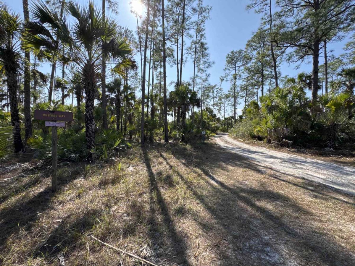
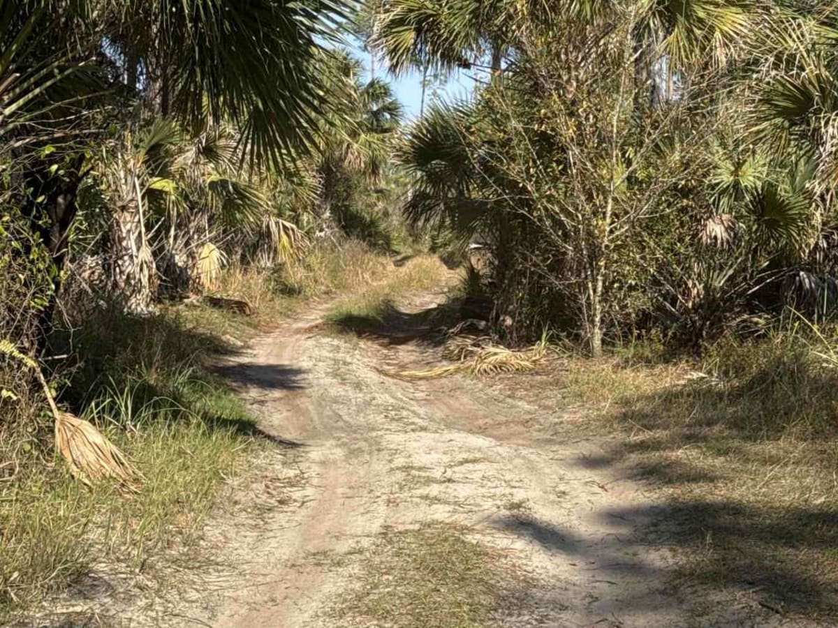
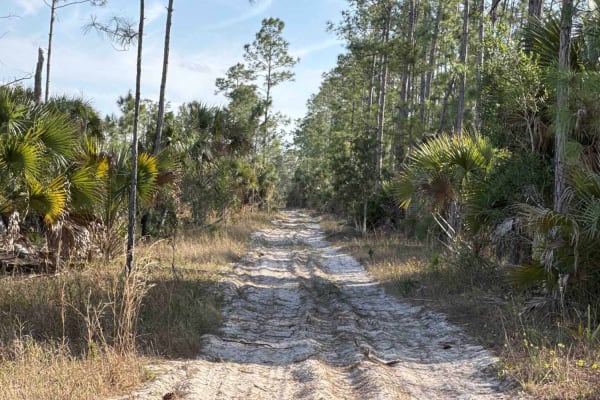
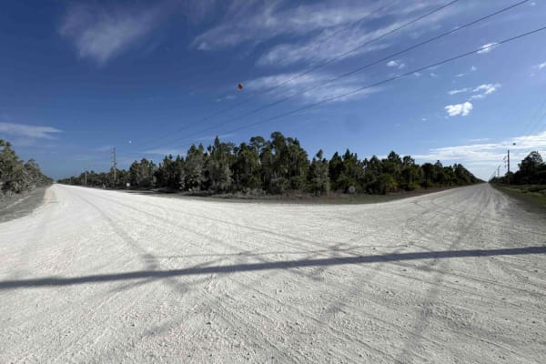
Trail Overview
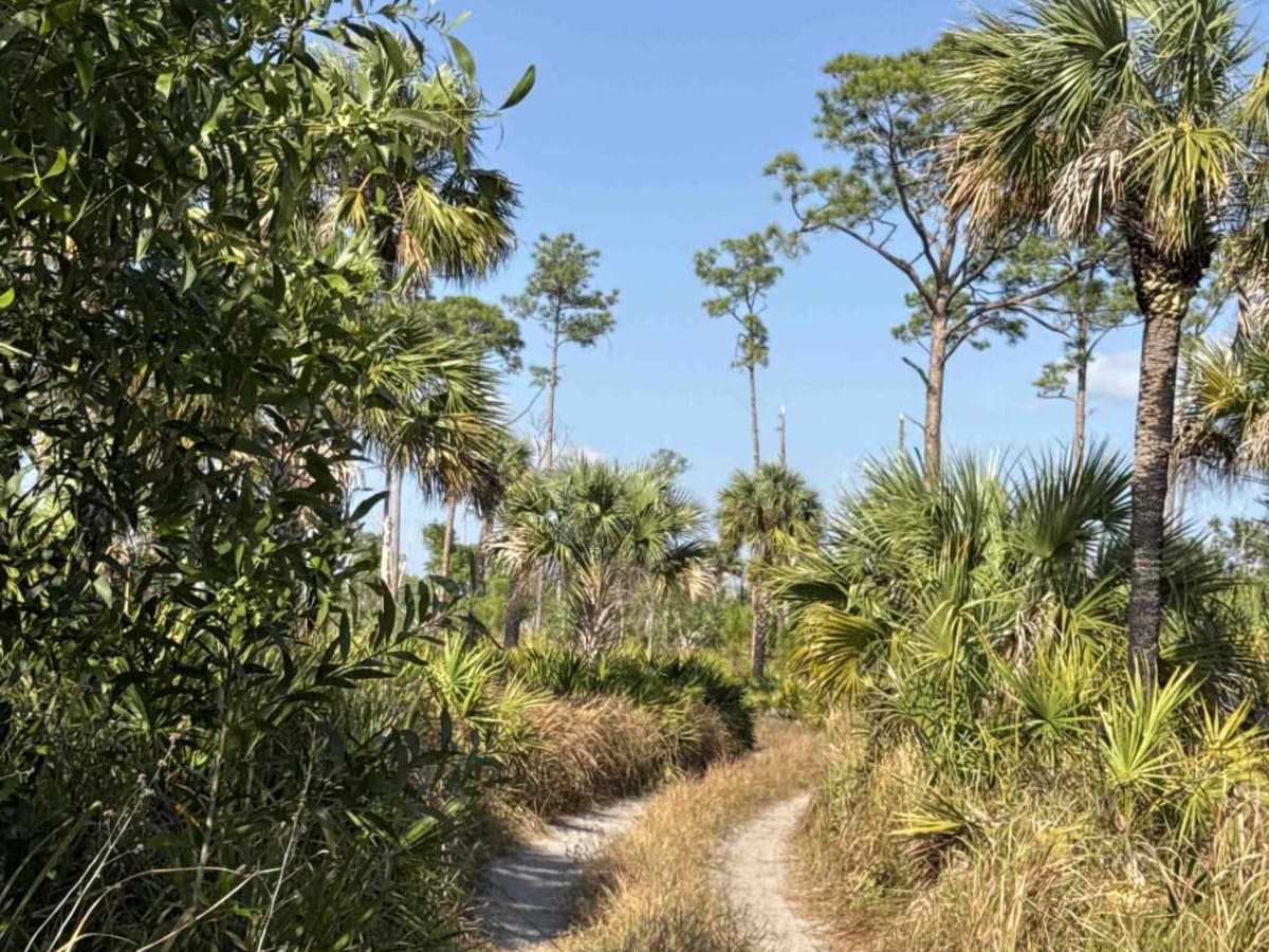
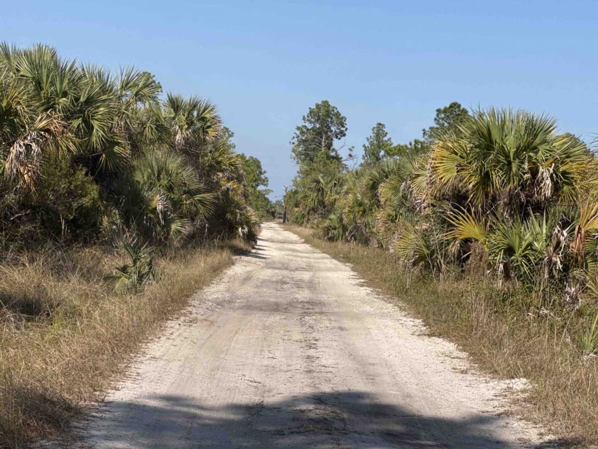
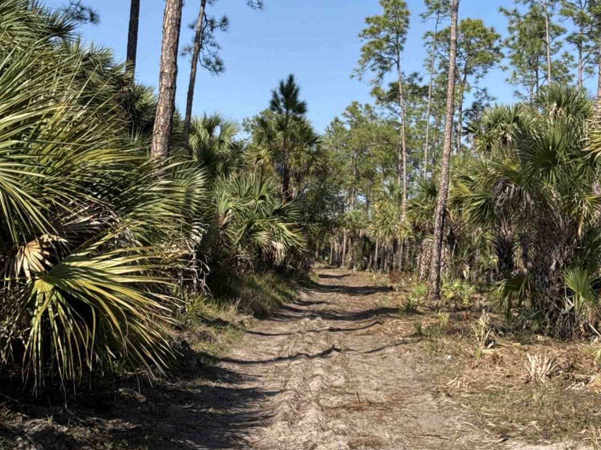
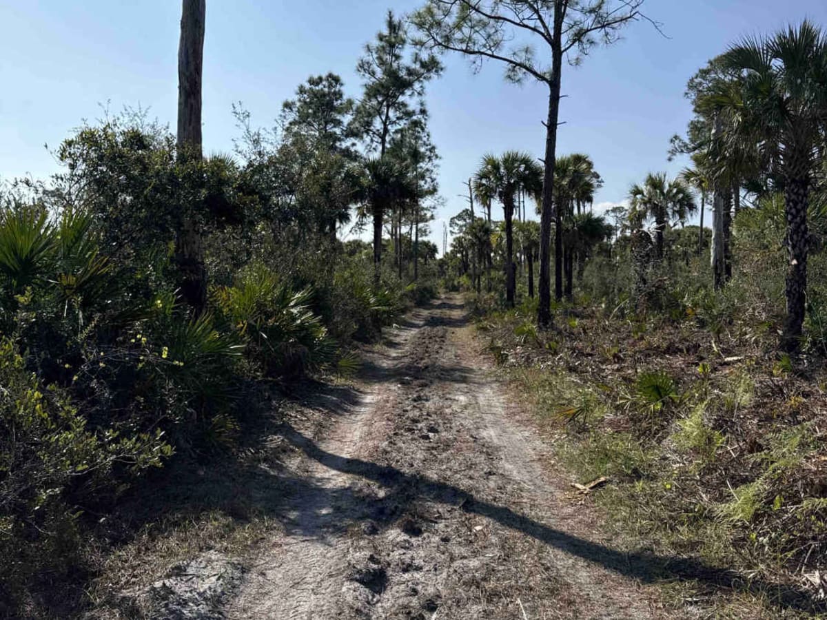
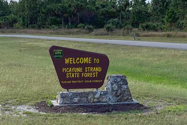
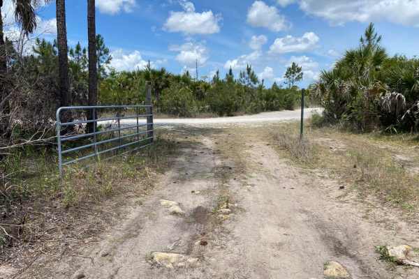
The Blue Trail connects Millers Boulevard at the east end and the northwest entrance of the Picayune Strand State Forest. Picayune Strand State Forest is in the heart of the Big Cypress Basin. The majority of this hydric forest is under water during the wet season. The forest is a mosaic of cypress strands, wet prairie, and pine flatwoods in the lowlands and subtropical hardwood hammocks in the uplands. The northern section of the Belle Meade Tract contains many second-growth South Florida slash pines, with some remnant trees being over 100 years old. The forest provides a habitat for a variety of wildlife, including many threatened and endangered species. Although Florida panthers are rarely observed, visitors often find their tracks on many of the sandy roads and trails throughout the forest. The road conditions are a mixture of packed sand, loose sand, and some deep holes that can turn into 2-3 feet deep mud holes after rainy days. The road is narrow and challenging in some areas and not wide enough for two vehicles to pass. 4WD and high clearance are highly recommended. All vehicles must be street legal. Off-highway vehicles (OHVs) are prohibited on the Picayune Strand State Forest. A Daypass for $2 or an annual pass for all State Forests is required. You can purchase the pass online at https://floridastateforests.reserveamerica.com/. Please be aware that the cellphone reception is weak.
History
Picayune Strand State Forest is the fourth largest State Forest in Florida and is named after the largest of several cypress strands that once occupied much of the eastern portion of the property. The 74,138-acre forest is comprised of two tracts, the South Golden Gates Estates Tract to the east and the Belle Meade Tract to the west.