
Dirt Bike Trails
Near Nances Creek, Alabama
Explore All Dirt Bike Trails Near Nances Creek, Alabama
Dirt Bike Trails Near Nances Creek, Alabama
Discover the best dirt bike trails near you. Browse trail maps, check difficulty ratings, and find your next adventure — whether you're looking for a quick ride or an all-day expedition.
16
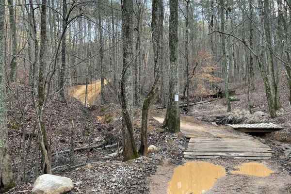
This is the main connecting trail that will take you from the dam and wind through the woods. You'll go past the entrance to Trail 6, Trail 15, and Foxes Hollow and end up at the powerlines, which is a very popular spot to hang out. The trail has a couple of small one-lane bridges to cross.
Learn more about 16
Trail 8
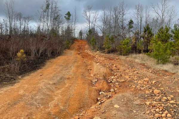
Trail 8 is a shortcut trail that crosses a ridge. It starts at both ends of Trail 12 and leads to the top of Kiley's Crawl and Booger Holler. You can drive it in any vehicle in 2WD. It takes you to the top of Paycheck Holler and allows two-way traffic. Watch out for riders.
Learn more about Trail 8
12
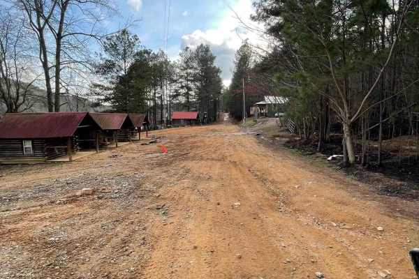
The main connecting trail at Indian Mountain ATV park links to Trail 1 and runs uphill, passing by all the cabins. It's an easy trail suitable for any vehicle in 2WD. As you progress, you might encounter a few mud puddles in some areas. The trail accommodates two-way traffic, so be sure to watch out...
Learn more about 12
9
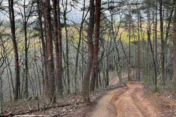
Trail 9 is an easy trail that will connect you to trails 16, 11, and 10. Only two-wheel drive is needed. It goes right past the famous Foxes Hollow trail, which can be a challenge at times. It's often a hangout at nighttime. This is a fun and easy connector trail for most.
Learn more about 9
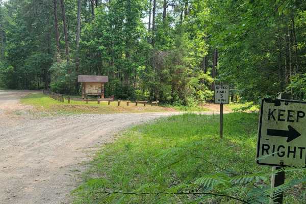
USFSR #643C Kentuck OHV Trailhead
USFSR #643C Kentuck OHV Trailhead is a short, 0.6-mile dirt connector trail in the Talladega National Forest designed for ATVs, dirt bikes, and mountain bikes seeking direct access to the popular Kentuck OHV trail system. This easy route features minimal elevation changes, ranging from 846 feet to 8...
Learn more about USFSR #643C Kentuck OHV Trailhead

Duck Nest Motorway - FS 651
Good mix of gravel and dirt. There are several beautiful creeks to pass over with one-lane bridges along the route. A few mud holes are possible if it is wet. Some washboarding on the road towards the north side of the road. The dispersed camping labeled on OnX is not a great campsite, but it could ...
Learn more about Duck Nest Motorway - FS 651
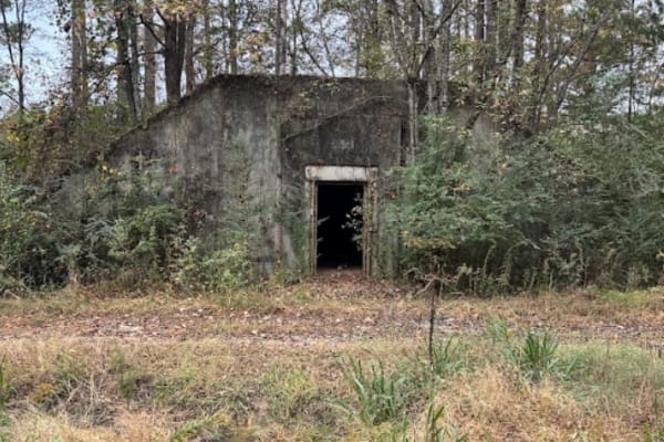
Annex Road / 11
This route will take you from the very front of the park, all the way to the back edge of the park. This is mostly gravel road with several rental bunkers along the route. At the end of this route, you can turn left to take you to the start of trail 30, which is one of the most popular trails here, ...
Learn more about Annex Road / 11
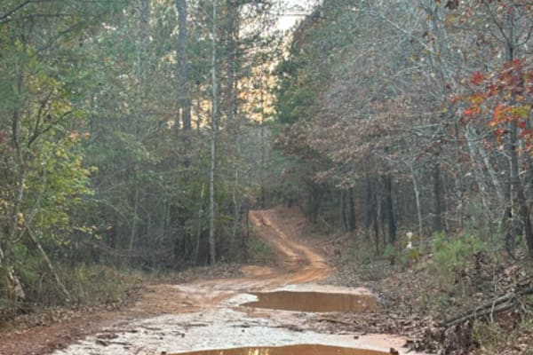
28
Trail 28 is a very peaceful and easy trail to take you back to the grid. Pretty flat in most areas with a handful of mudholes, but nothing major. This is mostly a dirt trail that would be good in any season and for any vehicle. It does cut across Trail 42 at around the halfway point.
Learn more about 28
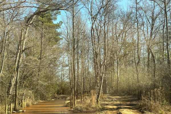
44
Trail 44 is all mud obstacles with a lot of various mud holes that make this trail such a high level. Some of the mud holes along this route are used for competitions. Some of the major holes can be bypassed with areas that go around them. Even in the dry season, this trail is one of the most muddy ...
Learn more about 44
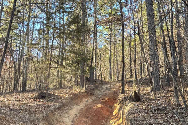
59
Trail 59 was a difficult trail through the woods. There are no major rock obstacles, but a lot of tight areas and rutted areas that were around 1 foot deep. There is one switchback on this trail that works between two trees. Most of this trail had an incline or decline, as well as loose rock areas.
Learn more about 59
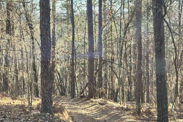
41
Trail 41 is a bypass along one of the difficult areas on Trail 30. Not a very wide trail, but our full-size vehicle fit down it. There are large rocks and slanted sections as well as some rock obstacles were found along the route. There were no mud obstacles along this route.
Learn more about 41
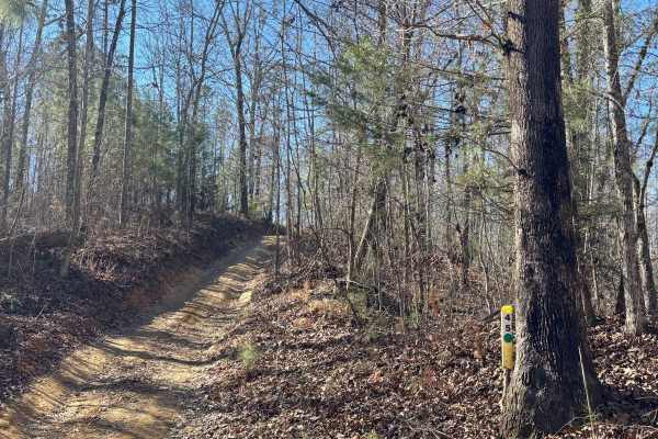
45
Trail 45 was a moderately easy trail with no major rock or mud obstacles. A few loose rocks along the route and a few small mud holes that were easily drivable. It connects Trail 48 to Trail 47. This trail was relatively short with a couple of trails that branched off.
Learn more about 45
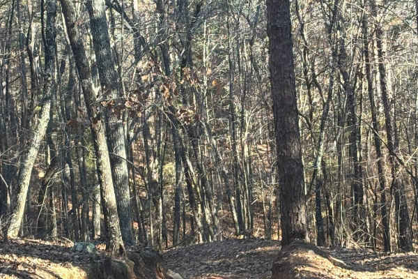
40
Trail 40 is a bypass along one of the difficult areas on Trail 30. Not a very wide trail, but our full-size vehicle fit down it. Large rocks and slanted trails as well as some rock obstacles were found along the route. There were no mud obstacles along this route.
Learn more about 40
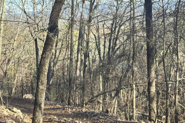
39
Trail 39 is a bypass along one of the difficult areas on Trail 30. Not a very wide trail, but our full-size vehicle fit down it. Large rocks and slanted trails as well as some rock obstacles were found along the route. There were no mud obstacles along this route.
Learn more about 39
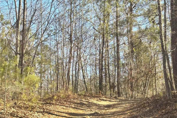
45A
Trail 45A is a connector trail from Trail 44 to Trail 45. It is just another entrance to Trail 45 off of Trail 48. It is well maintained. No difficulty and no obstacles were found along this trail. This is a dirt trail that may have some wet areas after a rain.
Learn more about 45A
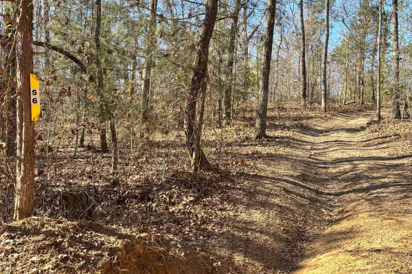
56
Trail 56 connects to Trail 48 on both ends. Half of the trail is rock obstacles with steep grades and rutted washed-out areas. The other half of the trail has some mud obstacles that aren't very deep but could be more difficult during a wet season or after rain.
Learn more about 56
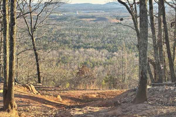
37
Trail 37 leaves Gent's mountain scenic view towards the south. It goes all the way to the bottom of the mountain and comes out at the bottom of Danger Hill. It is a one-way trail that must be traveled down. This trail has a very steep grade with a lot of rock obstacles and deep ruts. It must be take...
Learn more about 37
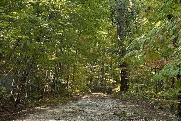
FS600-2
Beginning at the northeast end of FS600-2 and traveling southwest, this service road is packed with dirt filled with irregular rocks, making for a rough ride if not airing down. The first couple of miles are similar before reaching the first of the washouts. Washouts are 1 to 3 feet deep and are avo...
Learn more about FS600-2
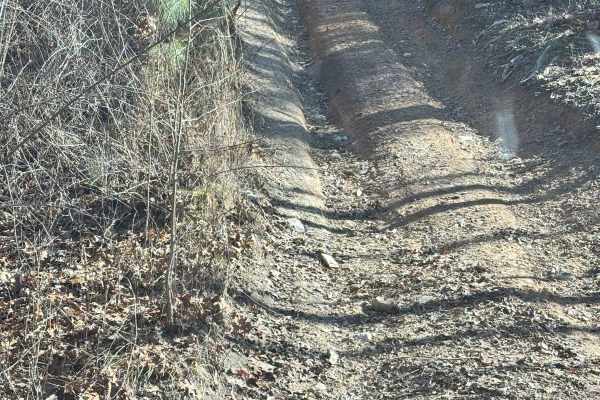
56A
Trail 56A is located off of Trail 56. It is all uphill or downhill, depending on the direction you enter from. The steep grade is what gives this trail a higher rating, but there were no large rock obstacles or mud obstacles located along this route. The trail was only wide enough for one vehicle at...
Learn more about 56A
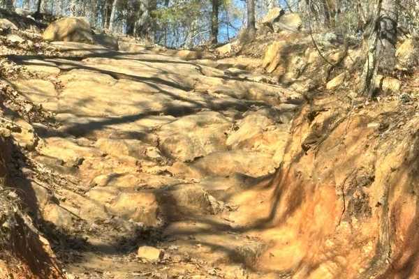
38
Trail 38 was a difficult trail that takes you to Trail 30 from Trail 28. It is all a steep grade along the mountain. Lots of loose rock, large rock obstacles, and a lot of deep ruts to cross back and forth. This is a very difficult trail. Though it is wide enough for most large vehicles.
Learn more about 38
ATV trails near Nances Creek, Alabama
Explore ATV-friendly trails near you. These trails are accessible for vehicles up to 50 inches wide, perfect for ATVs and smaller off-road machines.
16
This is the main connecting trail that will take you from the dam and wind through the woods. You'll go past the entrance to Trail 6, Trail 15, and Foxes Hollow and end up at the powerlines, which is a very popular spot to hang out. The trail has a couple of small one-lane bridges to cross.
Learn more about 16
Trail 8
Trail 8 is a shortcut trail that crosses a ridge. It starts at both ends of Trail 12 and leads to the top of Kiley's Crawl and Booger Holler. You can drive it in any vehicle in 2WD. It takes you to the top of Paycheck Holler and allows two-way traffic. Watch out for riders.
Learn more about Trail 8
12
The main connecting trail at Indian Mountain ATV park links to Trail 1 and runs uphill, passing by all the cabins. It's an easy trail suitable for any vehicle in 2WD. As you progress, you might encounter a few mud puddles in some areas. The trail accommodates two-way traffic, so be sure to watch out...
Learn more about 12
9
Trail 9 is an easy trail that will connect you to trails 16, 11, and 10. Only two-wheel drive is needed. It goes right past the famous Foxes Hollow trail, which can be a challenge at times. It's often a hangout at nighttime. This is a fun and easy connector trail for most.
Learn more about 9
UTV/side-by-side trails near Nances Creek, Alabama
Find UTV and side-by-side trails near you. These trails accommodate vehicles up to 60 inches wide, ideal for UTVs, side-by-sides, and wider off-road rigs.
16
This is the main connecting trail that will take you from the dam and wind through the woods. You'll go past the entrance to Trail 6, Trail 15, and Foxes Hollow and end up at the powerlines, which is a very popular spot to hang out. The trail has a couple of small one-lane bridges to cross.
Learn more about 16
Trail 8
Trail 8 is a shortcut trail that crosses a ridge. It starts at both ends of Trail 12 and leads to the top of Kiley's Crawl and Booger Holler. You can drive it in any vehicle in 2WD. It takes you to the top of Paycheck Holler and allows two-way traffic. Watch out for riders.
Learn more about Trail 8
12
The main connecting trail at Indian Mountain ATV park links to Trail 1 and runs uphill, passing by all the cabins. It's an easy trail suitable for any vehicle in 2WD. As you progress, you might encounter a few mud puddles in some areas. The trail accommodates two-way traffic, so be sure to watch out...
Learn more about 12
9
Trail 9 is an easy trail that will connect you to trails 16, 11, and 10. Only two-wheel drive is needed. It goes right past the famous Foxes Hollow trail, which can be a challenge at times. It's often a hangout at nighttime. This is a fun and easy connector trail for most.
Learn more about 9
The onX Offroad Difference
onX Offroad combines trail photos, descriptions, difficulty ratings, width restrictions, seasonality, and more in a user-friendly interface. Available on all devices, with offline access and full compatibility with CarPlay and Android Auto. Discover what you're missing today!
Open Trail Map