
Dirt Bike Trails
Near Mulberry, Arkansas
Explore All Dirt Bike Trails Near Mulberry, Arkansas
Dirt Bike Trails Near Mulberry, Arkansas
Discover the best dirt bike trails near you. Browse trail maps, check difficulty ratings, and find your next adventure — whether you're looking for a quick ride or an all-day expedition.
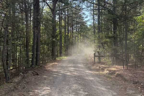
Piney War Trail
Coming off of Ford Ridge Road onto 1711, you will see some mudholes before you enter the trail in the National Forest/WMA, After the fence, you will go uphill on the gravel road, a very scenic ride through a pine tree section of the forest. There is a super cool rock with a tree growing around it
Learn more about Piney War Trail
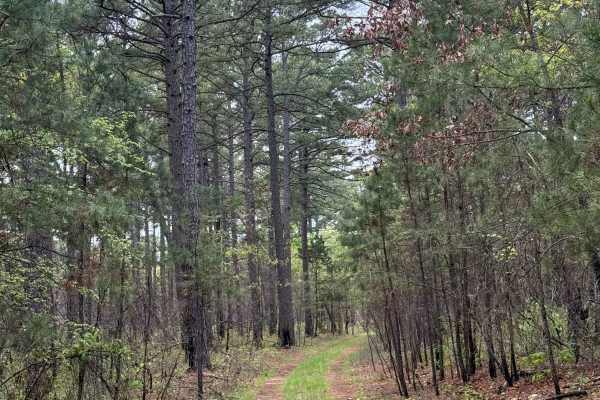
Shortcut Central
This trail is another easy trail that splits off from Hillside Holler. You will pass a beautiful pond coming from the North end of the trail. During heavy rain or winter snow, this trail could be a bit challenging, but still manageable for most vehicles. This trail comes to a closed road at the sout...
Learn more about Shortcut Central
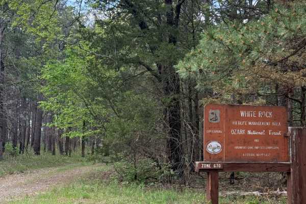
Hillside Holler
This trail is right off Highway 215. When you come up to the (Y) in the road, you will take a left. This is an easy trail, and the ending of this trail is gated, but it has a sign showing you can walk past the gate and explore the sanctioned area.
Learn more about Hillside Holler
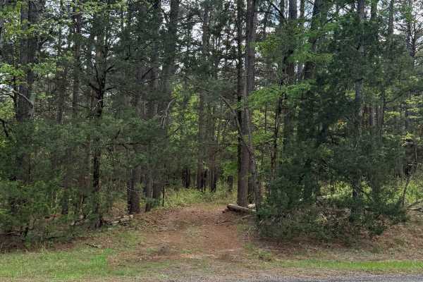
Boney Mountain Trail
This trail is right off Highway 215 (hidden away pretty well). You start on a piney-covered ground and make your way up the hillside. During spring and summer, this trail can be extremely tight and overgrown. This trail contains some rutted-out sections, which can be pretty deep mud holes depending ...
Learn more about Boney Mountain Trail
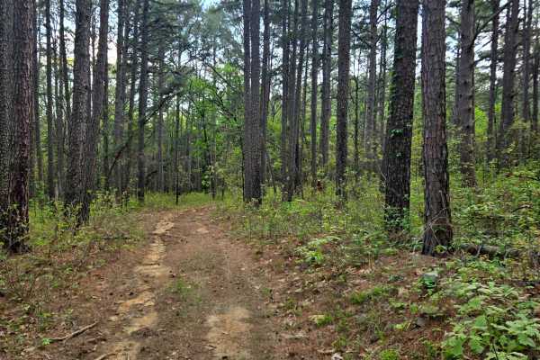
River Ridge
This trail is mostly dirt and ends on private property. This trail has several obstacles and needs to be cleared. There are lots of ruts and some shallow mud. The trail gets narrow with some tight trees. This trail does have some deeper mud holes, but they do have a bypass around those mud holes.
Learn more about River Ridge
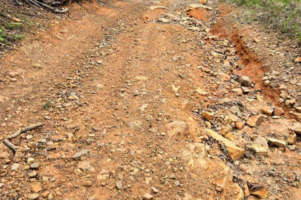
Brushy Pine
Moderate to difficult trail with rocks, ruts, washouts, and steep inclines. This trail is overgrown and gets tight in places, which could give you some pinstripes. This trail provides some fun obstacles created by the rocks and washouts. Some of the washouts get pretty deep with some tire busters at...
Learn more about Brushy Pine
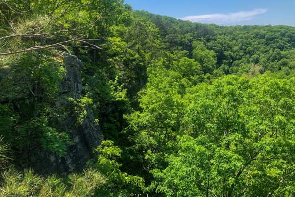
Devils Canyon Trail
Devils Canyon trail is short, but worth the drive. The trail is out-and-back with plenty of primitive campsites if you are looking for a beautiful place to stay. The 1.14 mile trail ends with a very steep descent to the creek that feeds the falls, and the climb back out is technical. From the trail,...
Learn more about Devils Canyon Trail
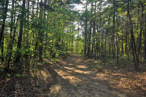
Ford Ridge
Ford Ridge is an easy dirt trail that leads to private property. The private property is gated off. This is a pretty mild trail that leads through some neat pine trees. A bit of loose rocks and mild inclines. A fun, quick trail to run down if you're in the area.
Learn more about Ford Ridge
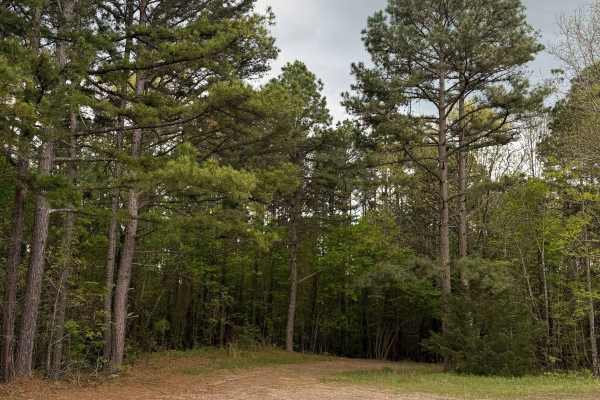
Fern Spring Trail
This trail is right off Highway 215. You will go through the Piney Woods section, and some parts of this trail can be tight for full-size vehicles. This will be an extremely tight trail during late spring and all summer. About 1/4th of the way through the trail, washed-out areas start showing up. .9...
Learn more about Fern Spring Trail
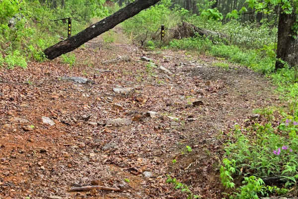
Burr Ridge
This trail has some very technical, steep obstacles. Starting from Shores Lake Road, the route begins as an easy dirt road, but it becomes more technical the farther you travel. It eventually turns rough and overgrown, with steep inclines, rocky ledges, and technical sections that require careful ti...
Learn more about Burr Ridge
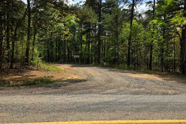
Fern Mountain
This trail is an easy dirt road that leads to private property. The trail towards the end, nearer to the private property, gets narrow. This trail seems to be well-maintained and has a very mild rocky section. This trail is very scenic and goes through a beautiful pine forest.
Learn more about Fern Mountain
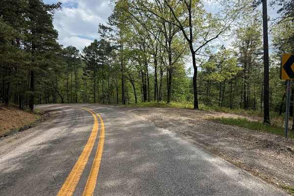
Dam Trail
The trail is located right off the pavement of Shores Lake Road. The trail is a relatively easy trail for most vehicles, mostly dirt the entire trail. There are a few small rocks and sand towards the end of the trail; the trail mainly has camping spots along the way.
Learn more about Dam Trail
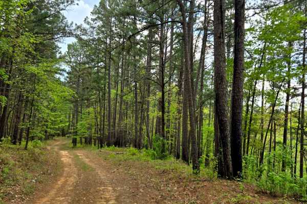
Jackson Ridge
This trail is a dirt trail with a neat rock wall along the side of a portion of the trail. The trail is closed at mile 1.9. All the side trails off this trail are closed. There is a neat campsite off the trail right at mile 1.9, right before the trail is closed.
Learn more about Jackson Ridge
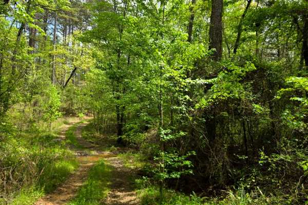
Potato Spur
This trail starts off of Potato Knob Road and ends back onto Potato Knob Road. This trail gets really tight with overgrown vegetation; there is a very good chance of getting pin stripes. This trail has a small creek crossing and a shallow mud hole. A scenic trail that is very pretty in the springtim...
Learn more about Potato Spur
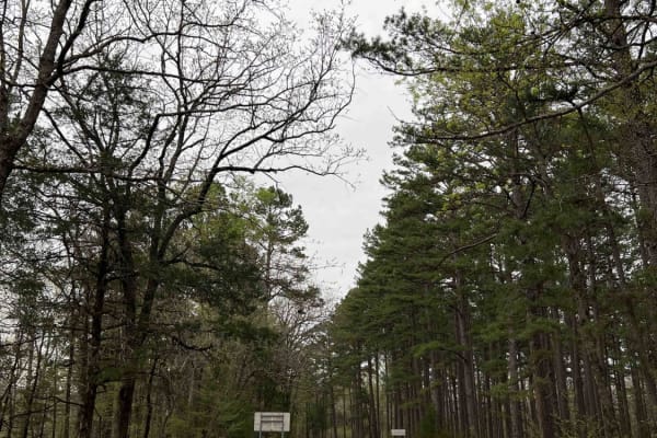
Shores Lake Road 1501
Shores Lake Road is the gateway to several different activities. One of which is the Campbell Cemetery boat launch and the second is Shores Lake where you can find state ran campsites. Mulberry River is known for its rapids and brings rafting enthusiasts to this area. There are also several spur tra...
Learn more about Shores Lake Road 1501
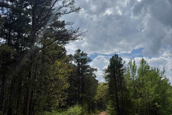
Shores Lake Dam Loop
Right off the pavement of Shore's Lake Road on the west side, the trail is a small, easy loop trail that is at the top of Shore's Lake Road. There are a few places that could be campsites along the trail with firepits. Down the trail is a pretty easy loop with some mudholes
Learn more about Shores Lake Dam Loop
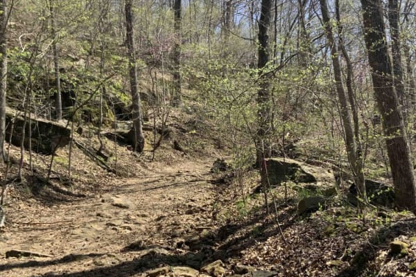
Warloop Road - 1567a
This road starts out as a maintained road and then changes to an unmaintained "right of way" road through private land. It then changes back to a maintained dirt road. There is a sign where the unmaintained section starts that lists the names of the families who own land along the road. It is fairly...
Learn more about Warloop Road - 1567a
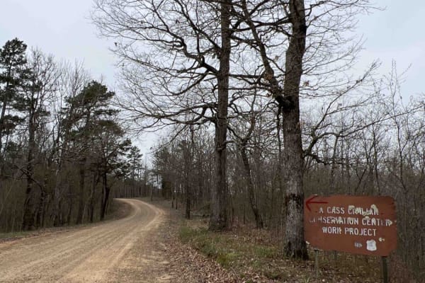
Potato Knob 1510
Potato Knob is an easy gravel road with steep hill climbs and rolling hills. Beautiful scenic views that go on for miles. You can find an old homestead along this trail that leaves you to wonder why a house would have been in the middle of nowhere. A root cellar still stands on this homestead and is...
Learn more about Potato Knob 1510
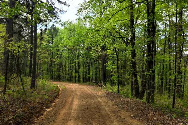
Graham Road
This trail (Graham Road) is a dirt trail that leads into private property. The trail is pretty easy, has some loose rocks, and a little bit of incline. The trail gets tight towards the private property with some overgrown vegetation creeping onto the trail. A scenic drive, unfortunately, doesn't lea...
Learn more about Graham Road
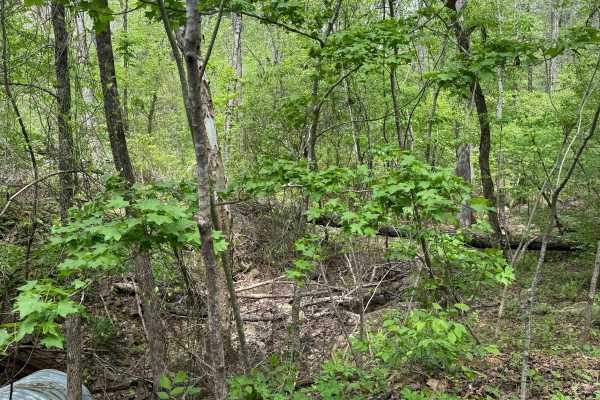
Spirits Circle
Coming off of Shore's Lake Road, some small ledges with very light technical spots, easy to go around, a few hard bottom mud holes (heading south), after you start going downhill, soft bottom deep mudholes start turning up, very rocky downhill by mudholes, 6-9 mudholes before hitting the Mulberry Ri...
Learn more about Spirits Circle
ATV trails near Mulberry, Arkansas
Explore ATV-friendly trails near you. These trails are accessible for vehicles up to 50 inches wide, perfect for ATVs and smaller off-road machines.
Piney War Trail
Coming off of Ford Ridge Road onto 1711, you will see some mudholes before you enter the trail in the National Forest/WMA, After the fence, you will go uphill on the gravel road, a very scenic ride through a pine tree section of the forest. There is a super cool rock with a tree growing around it
Learn more about Piney War Trail
Shortcut Central
This trail is another easy trail that splits off from Hillside Holler. You will pass a beautiful pond coming from the North end of the trail. During heavy rain or winter snow, this trail could be a bit challenging, but still manageable for most vehicles. This trail comes to a closed road at the sout...
Learn more about Shortcut Central
Hillside Holler
This trail is right off Highway 215. When you come up to the (Y) in the road, you will take a left. This is an easy trail, and the ending of this trail is gated, but it has a sign showing you can walk past the gate and explore the sanctioned area.
Learn more about Hillside Holler
Boney Mountain Trail
This trail is right off Highway 215 (hidden away pretty well). You start on a piney-covered ground and make your way up the hillside. During spring and summer, this trail can be extremely tight and overgrown. This trail contains some rutted-out sections, which can be pretty deep mud holes depending ...
Learn more about Boney Mountain Trail
UTV/side-by-side trails near Mulberry, Arkansas
Find UTV and side-by-side trails near you. These trails accommodate vehicles up to 60 inches wide, ideal for UTVs, side-by-sides, and wider off-road rigs.
Piney War Trail
Coming off of Ford Ridge Road onto 1711, you will see some mudholes before you enter the trail in the National Forest/WMA, After the fence, you will go uphill on the gravel road, a very scenic ride through a pine tree section of the forest. There is a super cool rock with a tree growing around it
Learn more about Piney War Trail
Shortcut Central
This trail is another easy trail that splits off from Hillside Holler. You will pass a beautiful pond coming from the North end of the trail. During heavy rain or winter snow, this trail could be a bit challenging, but still manageable for most vehicles. This trail comes to a closed road at the sout...
Learn more about Shortcut Central
Hillside Holler
This trail is right off Highway 215. When you come up to the (Y) in the road, you will take a left. This is an easy trail, and the ending of this trail is gated, but it has a sign showing you can walk past the gate and explore the sanctioned area.
Learn more about Hillside Holler
Boney Mountain Trail
This trail is right off Highway 215 (hidden away pretty well). You start on a piney-covered ground and make your way up the hillside. During spring and summer, this trail can be extremely tight and overgrown. This trail contains some rutted-out sections, which can be pretty deep mud holes depending ...
Learn more about Boney Mountain Trail
The onX Offroad Difference
onX Offroad combines trail photos, descriptions, difficulty ratings, width restrictions, seasonality, and more in a user-friendly interface. Available on all devices, with offline access and full compatibility with CarPlay and Android Auto. Discover what you're missing today!
Open Trail Map