
Dirt Bike Trails
Near Monticello, Utah
Explore All Dirt Bike Trails Near Monticello, Utah
Dirt Bike Trails Near Monticello, Utah
Discover the best dirt bike trails near you. Browse trail maps, check difficulty ratings, and find your next adventure — whether you're looking for a quick ride or an all-day expedition.
Abajo Peak Trail
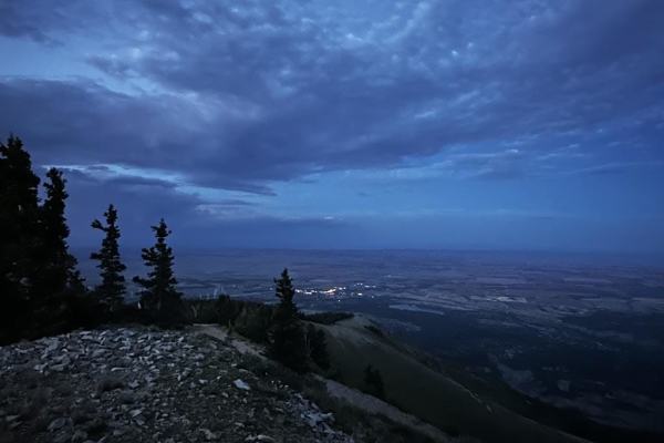
Welcome to the Abajo Peak Off-Road Trail! Nestled within the breathtaking wilderness of Monticello Utah, this mountain dirt off-road trail offers a delightful adventure for beginners and seasoned explorers alike. The trail is renowned for its accessibility, making it an excellent choice for those lo...
Learn more about Abajo Peak Trail
Trail 55255 to 55258
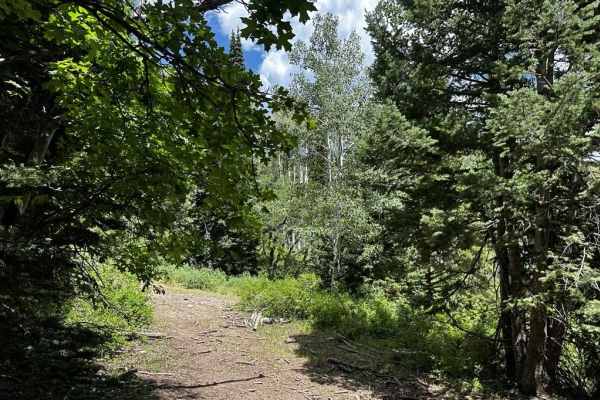
This trail is a fun, short little detour from the main road up the mountain. There are a few small rocks and holes on the trail but nothing too serious. Any 4x4 should make it up this trail. The start of the trail is a little bit narrow but doable by any side-by-side or full-sized truck. It takes yo...
Learn more about Trail 55255 to 55258
Montezuma Canyon Road
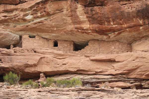
Montezuma Canyon Road is a 34.5-mile point-to-point trail rated 1 of 10 located in San Juan County. Montezuma Canyon Road follows a high desert canyon with a well-maintained graded or gravel road. This road is suitable for both 2WD and 4WD vehicles. Although this is a point-to-point trail, it is a d...
Learn more about Montezuma Canyon Road
Trail - 55249
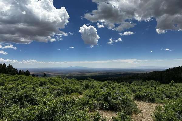
This is a great little trail that eventually takes you to a lookout point. The trail has some rocky sections and tight areas on the trail. It is recommended for a UTV, ATV, or dirt bikes. Depending on the time of the year you might run into some runoff coming down the trail. Watch out for cattle nea...
Learn more about Trail - 55249
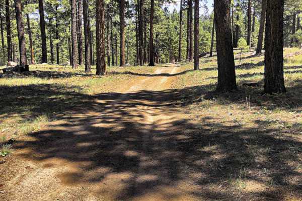
Dude Ranch to Stone Henge
Dude Ranch to Stone Henge is an easy, beginner-friendly trail in the Abajo Mountains of southeastern Utah. The route begins on a paved surface before transitioning into a well-maintained dirt road, eventually branching off to the right onto a narrow, forested OHV trail that winds through pine and as...
Learn more about Dude Ranch to Stone Henge
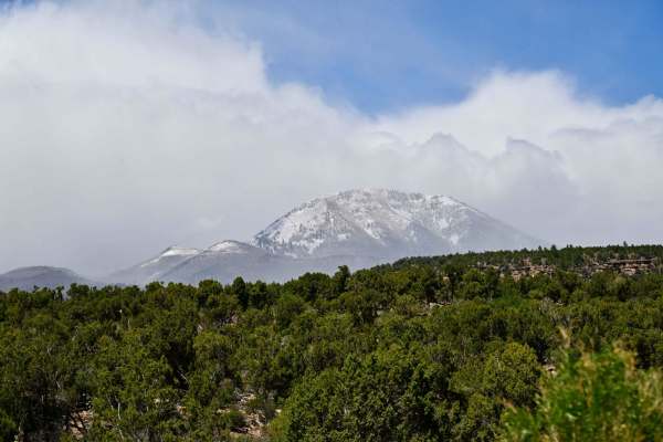
FR50084/Recapture Road
Recapture Canyon in the Blanding/Monticello, Utah area is a scenic rocky canyon that borders the Abajo Mountains to the north, Recapture Reservoir and Blanding, Utah to the south. Abajo Mountain is a twin peak that dominates the landscape at over 11k feet on both peaks and frequently has snow until ...
Learn more about FR50084/Recapture Road
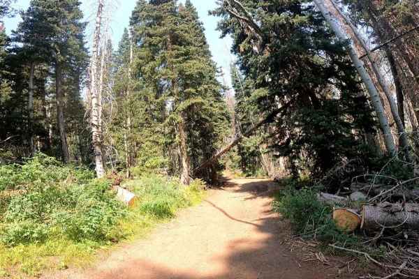
Race Track Reservoir
Nestled in the scenic landscapes of southeastern Utah, the Race Track Reservoir UTV Trail is located just west of Monticello, about 45 minutes south of Moab. The trailhead can be found just before Monticello Lake off of North Circle Road. This relatively user-friendly trail offers a moderately chall...
Learn more about Race Track Reservoir
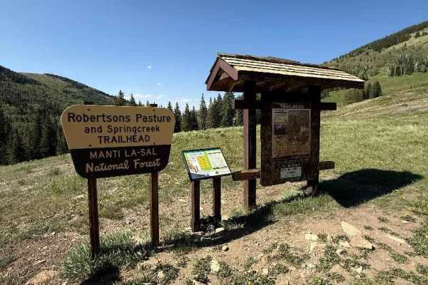
Robertson Pasture Trail No. 020
The Robertson Pasture singletrack trail traverses 7.4 miles through the lush pine, fir, and aspen forests of the Abajo Mountains—also known as the Blue Mountains. The trail begins at its southern trailhead off Indian Creek Road (FR 50079) and ends just past Foy Lake (Spring Lake) on FR 55389 to the ...
Learn more about Robertson Pasture Trail No. 020
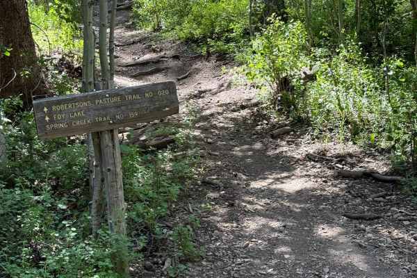
Spring Creek Trail No. 159
The Spring Creek Trail is 2.7 miles long, beginning at the Robertson Pasture Trail No. 020 at an elevation of 10,034 feet and ending at the Race Track Reservoir trail (FR 55113) at an elevation of 9,306 feet. This trail meanders through aspen groves and open meadows, offering views of Spring Creek a...
Learn more about Spring Creek Trail No. 159
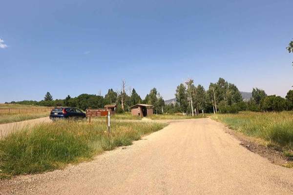
Shay Ridge
Located in the stunning landscapes of southeastern Utah, the Shay Ridge UTV Trail starts at the Foy Lake campsite, offering a captivating journey for off-road enthusiasts. This trail, situated just west of Monticello and about 45 minutes south of Moab, provides an accessible and scenic adventure alo...
Learn more about Shay Ridge
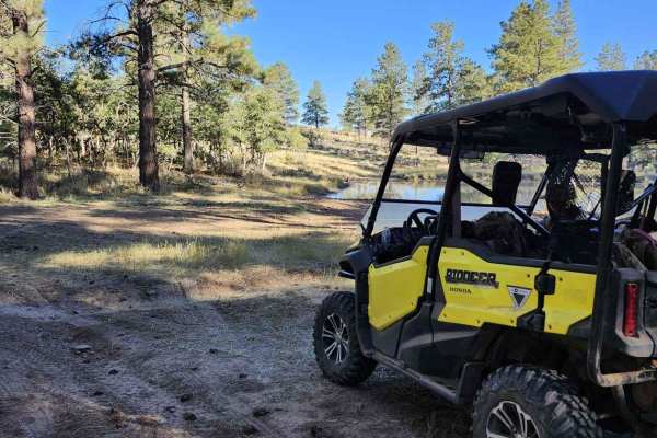
Lower Stock Pond Trail
This is an access trail to two stock ponds that are always full. The trail is rough and rugged since the weather has washed it out in a few places. This trail starts in the pine trees, travels through some scrub oak then back into the pines. This trail ends back up on the paved blue mountain road. T...
Learn more about Lower Stock Pond Trail
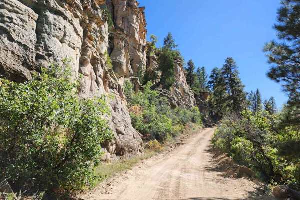
Bulldog Canyon Trail
This is a low canyon trail that follows the bottom of a desert canyon. You will see ruins of an old sawmill and a logging operation. There are several camping locations in this canyon but I wouldn't drag a large camper down there. Tent and off-road trailers are best. There are several off-shoot road...
Learn more about Bulldog Canyon Trail
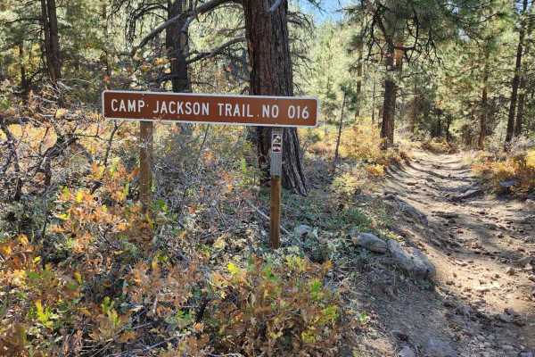
Camp Jackson Trail
This is a narrow ATV trail that has steep drop-offs on the side and rocks on the other side. 50" or narrower on this trail as many UTVs have fallen over the edge. There are steep rock climbs and long hills. This trail is only recommended for advanced riders. There are many different terrain types fr...
Learn more about Camp Jackson Trail

Red Ledges Access Trail No.160
This 1-mile section of trail provides access to the Red Ledges Trail No. 019 and the Aspen Flat Trail No. 018. You can find this trail off Indian Creek Road (FR 50079), approximately 2 miles from the Robertson Pasture/Spring Creek trailhead on your right. Don't let its short length fool you; it's ti...
Learn more about Red Ledges Access Trail No.160
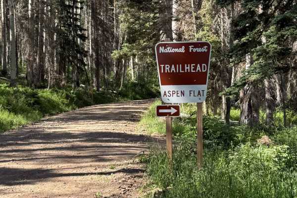
Aspen Flat Trail No. 018
The Aspen Flat Trail No. 018 is 5.7 miles long and features a mix of tight off-camber, rocky singletrack deep in the forest, surrounded by aspens, along with sections of the flowy terrain we all love. With views for miles, meadows, and stream crossings, this trail is a classic. The south end of the ...
Learn more about Aspen Flat Trail No. 018
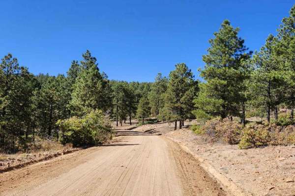
Devils Canyon Road
This is an easy mountain road that is well-maintained. Use this route to access other trails and camping sites in the area. Camp Jackson Trailhead, Wagon Wheel Trailhead, and Bulldog Trailhead are accessed from this road. This is not a good Winter destination but Summer, Spring, and Fall are great t...
Learn more about Devils Canyon Road
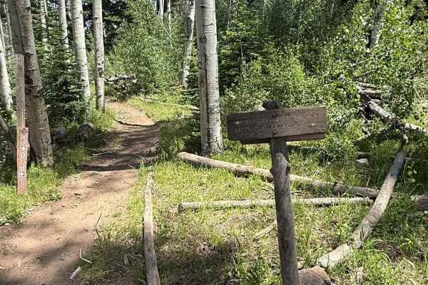
Red Ledges Trail No. 019
The Red Ledges Trail No. 019 is 5.0 miles long, starting at an elevation of 8,811 feet at its west end and reaching 9,513 feet at its north end, with an elevation gain of 1,637 feet and a loss of 866 feet. Sections of the trail are severely off-camber and extremely rocky, with some good-sized roots,...
Learn more about Red Ledges Trail No. 019
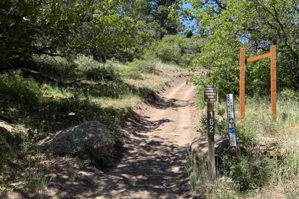
Shay Ridge OHV Trail N0. 162
The Shay Ridge Trail #162 is 5.4 miles long, beginning at Shay Ridge (FR 500104) and ending at Jackson Ridge (FS 50354). The north end elevation is 8,463 feet, while the high point reaches an elevation of 10,863 feet. The south end elevation is 10,338 feet. The trail has an elevation gain of 2,381 f...
Learn more about Shay Ridge OHV Trail N0. 162
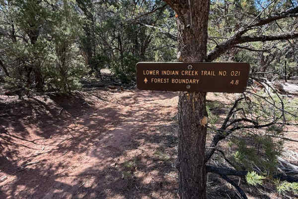
Lower Indian Creek Trail No. 021
Lower Indian Creek Trail No. 021 is a 7-mile out-and-back single-track trail located within Bears Ears National Monument. The trail begins at an elevation of 7,438 feet and descends to 6,164 feet at its endpoint, just outside Canyonlands National Park along SR-211. As you traverse the trail, you'll ...
Learn more about Lower Indian Creek Trail No. 021
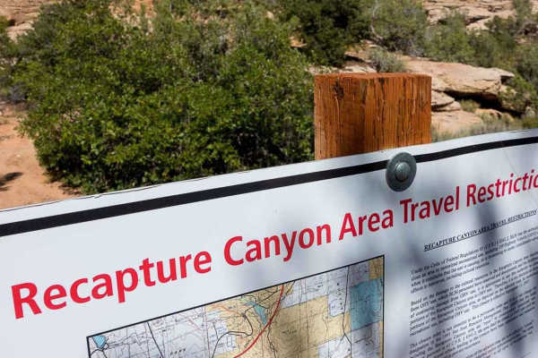
Recapture Rim Trail
Recapture Rim Trail is a 5.9-mile ATV/UTV/Motorcycle -only point-to-point trail rated 3 of 10 located in San Juan County. This trail is the closest trail to the now-closed Recapture Canyon. The trail starts on the eastern side of Blanding and after passing multiple farm fields arrives at the western...
Learn more about Recapture Rim Trail
ATV trails near Monticello, Utah
Explore ATV-friendly trails near you. These trails are accessible for vehicles up to 50 inches wide, perfect for ATVs and smaller off-road machines.
Abajo Peak Trail
Welcome to the Abajo Peak Off-Road Trail! Nestled within the breathtaking wilderness of Monticello Utah, this mountain dirt off-road trail offers a delightful adventure for beginners and seasoned explorers alike. The trail is renowned for its accessibility, making it an excellent choice for those lo...
Learn more about Abajo Peak Trail
Trail 55255 to 55258
This trail is a fun, short little detour from the main road up the mountain. There are a few small rocks and holes on the trail but nothing too serious. Any 4x4 should make it up this trail. The start of the trail is a little bit narrow but doable by any side-by-side or full-sized truck. It takes yo...
Learn more about Trail 55255 to 55258
Montezuma Canyon Road
Montezuma Canyon Road is a 34.5-mile point-to-point trail rated 1 of 10 located in San Juan County. Montezuma Canyon Road follows a high desert canyon with a well-maintained graded or gravel road. This road is suitable for both 2WD and 4WD vehicles. Although this is a point-to-point trail, it is a d...
Learn more about Montezuma Canyon Road
Trail - 55249
This is a great little trail that eventually takes you to a lookout point. The trail has some rocky sections and tight areas on the trail. It is recommended for a UTV, ATV, or dirt bikes. Depending on the time of the year you might run into some runoff coming down the trail. Watch out for cattle nea...
Learn more about Trail - 55249
UTV/side-by-side trails near Monticello, Utah
Find UTV and side-by-side trails near you. These trails accommodate vehicles up to 60 inches wide, ideal for UTVs, side-by-sides, and wider off-road rigs.
Abajo Peak Trail
Welcome to the Abajo Peak Off-Road Trail! Nestled within the breathtaking wilderness of Monticello Utah, this mountain dirt off-road trail offers a delightful adventure for beginners and seasoned explorers alike. The trail is renowned for its accessibility, making it an excellent choice for those lo...
Learn more about Abajo Peak Trail
Trail 55255 to 55258
This trail is a fun, short little detour from the main road up the mountain. There are a few small rocks and holes on the trail but nothing too serious. Any 4x4 should make it up this trail. The start of the trail is a little bit narrow but doable by any side-by-side or full-sized truck. It takes yo...
Learn more about Trail 55255 to 55258
Montezuma Canyon Road
Montezuma Canyon Road is a 34.5-mile point-to-point trail rated 1 of 10 located in San Juan County. Montezuma Canyon Road follows a high desert canyon with a well-maintained graded or gravel road. This road is suitable for both 2WD and 4WD vehicles. Although this is a point-to-point trail, it is a d...
Learn more about Montezuma Canyon Road
Trail - 55249
This is a great little trail that eventually takes you to a lookout point. The trail has some rocky sections and tight areas on the trail. It is recommended for a UTV, ATV, or dirt bikes. Depending on the time of the year you might run into some runoff coming down the trail. Watch out for cattle nea...
Learn more about Trail - 55249
The onX Offroad Difference
onX Offroad combines trail photos, descriptions, difficulty ratings, width restrictions, seasonality, and more in a user-friendly interface. Available on all devices, with offline access and full compatibility with CarPlay and Android Auto. Discover what you're missing today!
Open Trail Map