
Dirt Bike Trails
Near Maybeury, West Virginia
Explore All Dirt Bike Trails Near Maybeury, West Virginia
Dirt Bike Trails Near Maybeury, West Virginia
Discover the best dirt bike trails near you. Browse trail maps, check difficulty ratings, and find your next adventure — whether you're looking for a quick ride or an all-day expedition.
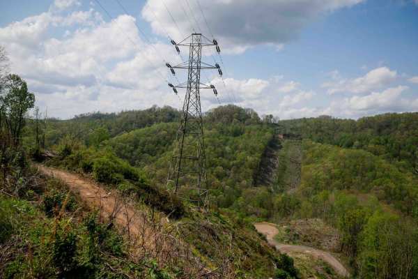
IR 46
Trail 46 is a 3-mile route that begins at the south end with a narrow path through dense thickets. In the spring, riders can expect mud puddles and deeper muddy ruts along the otherwise smooth trail. Low-hanging branches may be present if not recently cleared. The trail offers scenic views of the mo...
Learn more about IR 46
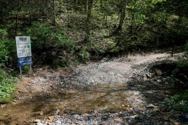
IR 16
Trail 16 is a 4.4-mile connector that links the east and west halves of the Indian Ridge Trail System. It's an overall easy route, with minor ruts, loose rock, and some shelfy, narrow sections--especially around sweeping corners and hairpin switchbacks where riders should watch for oncoming traffic....
Learn more about IR 16
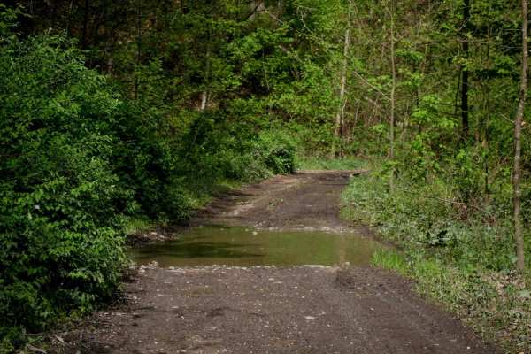
IR 26
Trail 26 is a scenic, easy route that runs approximately 4 miles. From the south end, it begins as a fairly flat trail that follows the contour of the mountainside for the first 2.5 miles, with narrow sections, shallow ruts, and occasional downed tree branches. The path is lined with scenic rock wal...
Learn more about IR 26
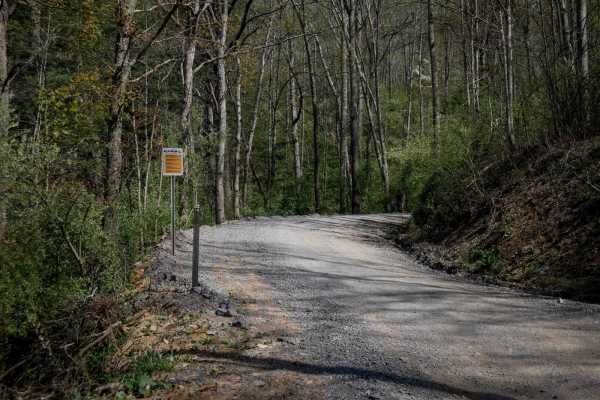
P15
Trail P15 is the first trail from the Pocahontas parking lot that will connect riders to the Pocahontas trail system. It's a wide, graded gravel road for 1 mile, featuring big sweeping corners, a gradual incline, and accommodating two-lane traffic. Riders should reduce speed when approaching the sta...
Learn more about P15
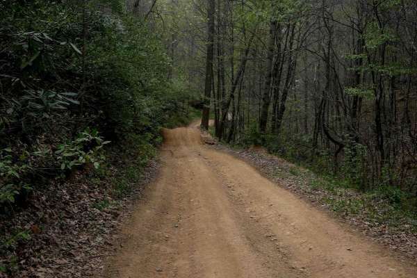
P11
Pocahontas 11 is one of the longer routes in the system at 5.5 miles. The north end includes a short, steep descent, while the rest of the trail follows a gradual path with minimal elevation gain. It features minor shallow ruts, loose rock, and waterbars, with a mix of one-lane and wider sections. R...
Learn more about P11

P69
Pocahontas 69 in the Hatfield-McCoy Trail System begins as a wide road with shallow ruts and potential mud puddles in spring, then narrows between thick rhododendron, climbing steeply with loose rock, sharper turns, and deeper ruts. In one spot, the trail is deeply troughed and eroded four feet belo...
Learn more about P69
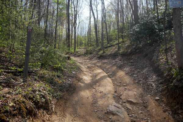
P21
This SxS trail starts directly from the Pocahontas trailhead within the Hatfield-McCoy Trail System, and is very easy for the entire 1.8 miles. It features a consistently wide dirt road with shallow ruts and small loose rocks, making it accessible for all off-road vehicles. The route is lined with t...
Learn more about P21
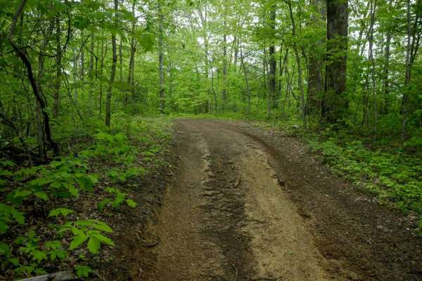
OP 37
OP 37 forms a 1.6-mile loop on the north end of the Original Pocahontas trail system, with several moderate spurs connecting its north and south segments. This easy trail features flat terrain with shallow ruts, occasional mud puddles, and a smooth, winding shelf path cut into the hillside. It paral...
Learn more about OP 37
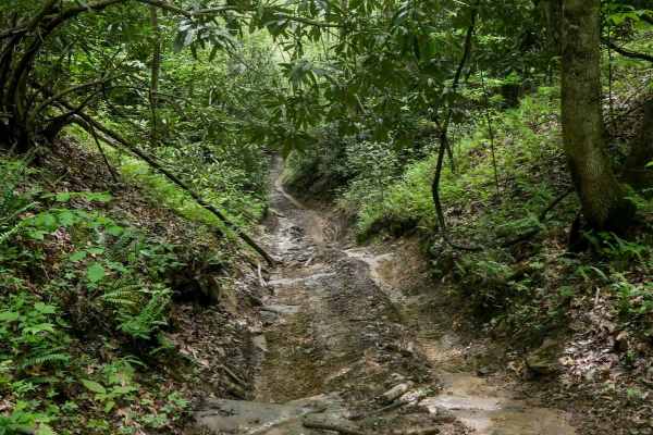
OP 39
OP 39 is a 200-yard connector running between two segments of OP 37. It descends slightly from north to south through a narrow, rutted ravine. Expect muddy conditions, scattered sticks, and dense rhododendron lining the trail, with low-hanging branches adding to the challenge. Tight and wet, it's a ...
Learn more about OP 39
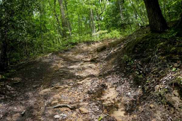
OP 93
93 is a short loop that branches off 37, forming a compact circle. It features a steeper climb with noticeable ruts and a large embedded rock face that adds technical interest. The loop then descends back down over loose rock. This is a fun, more challenging detour best suited for experienced driver...
Learn more about OP 93
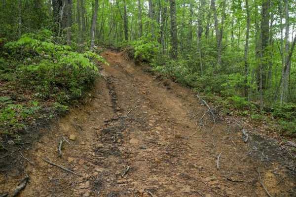
OP 41
Original Pocahontas 41 is a very short connector--less than 250 feet--linking the north and south segments of OP 37. It features a steep, rutted climb from the south that levels out at the top. Though brief, the deeper ruts and inclines make it slightly more challenging than the surrounding segments...
Learn more about OP 41
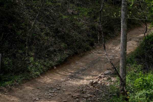
P30
Trail P30 is a half-mile route connecting P11 to P14, featuring a steeper climb from south to north with loose rock and shallow ruts. It follows a shelfy section along the hillside with wide corners and infrequent embedded rock and mud. The trail runs through a dense forest, making it a quick scenic...
Learn more about P30
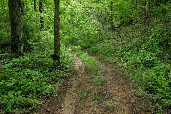
13 Connector
13 Connector is a short, 500-yard trail linking OP 37 and OP 13. It begins near the powerlines off OP 37, with a pipeline in the trail in the beginning, before narrowing into a more primitive route. The middle section is overgrown with grass, and drivers may encounter scattered debris such as small ...
Learn more about 13 Connector
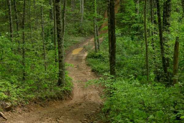
OP 13
OP 13 is an easy, smooth trail that winds through a mix of open and shaded forest. The northern section runs beneath powerlines, offering open skies and no tree canopy, while the southern portion transitions into denser woods with pleasant shade. The trail is fairly wide with only shallow ruts and f...
Learn more about OP 13
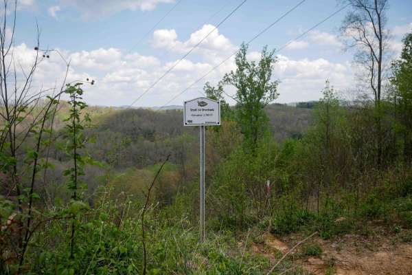
P14
Trail P14 is a 1.1-mile route that climbs from its south end up to the Overlook at 2,700 feet, continuing past it for a total elevation gain of about 300 feet. The climb is mostly gradual with a few steeper sections, and the trail remains very easy throughout. It is wide and mostly smooth, with a fe...
Learn more about P14
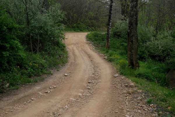
P24
Trail P24 is a half-mile connector between trails P11 and P12, featuring a big mud puddle at the entrance, minor shallow ruts, and loose rock. It includes sweeping corners and occasional flat embedded rock surfaces that do not increase the difficulty. Overall, it's an easy and straightforward transi...
Learn more about P24

OP 35
OP 35 is a one-mile trail located in the northeastern section of the Original Pocahontas trail system. It winds through dense rhododendron thickets and moss-covered trees, creating a lush, rainforest-like atmosphere beneath a heavy leaf canopy. The trail surface is mostly smooth with occasional mud ...
Learn more about OP 35
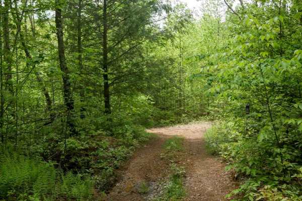
OP 36
OP 36 is a short and straightforward 230-yard connector between OP 13 and OP 35. The trail is flat, smooth, and gradual, with no notable obstacles. While the middle section is somewhat overgrown, it remains passable and clearly marked--just follow the signs indicating "To 35." It's an easy and effic...
Learn more about OP 36
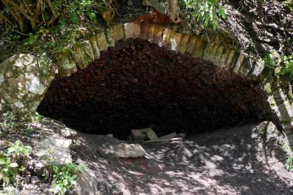
P29
Trail P29 is a half-mile route that offers a slightly rockier experience compared to the smoother graded roads nearby, while not being overly difficult. It begins with a descent and wide sweeping corners, featuring a surface of loose rocks--often pushed to the sides--and a few rockier hills with foo...
Learn more about P29
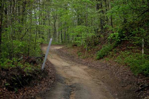
IR 50
Trail 50 in the Indian Ridge Trail System is less than half a mile long and begins from its south end with a steep incline featuring small loose rocks and shallow ruts on black coal dirt. It transitions into a shelfy section that runs along a particularly scenic hillside, with striking rock walls em...
Learn more about IR 50
ATV trails near Maybeury, West Virginia
Explore ATV-friendly trails near you. These trails are accessible for vehicles up to 50 inches wide, perfect for ATVs and smaller off-road machines.
IR 46
Trail 46 is a 3-mile route that begins at the south end with a narrow path through dense thickets. In the spring, riders can expect mud puddles and deeper muddy ruts along the otherwise smooth trail. Low-hanging branches may be present if not recently cleared. The trail offers scenic views of the mo...
Learn more about IR 46
IR 16
Trail 16 is a 4.4-mile connector that links the east and west halves of the Indian Ridge Trail System. It's an overall easy route, with minor ruts, loose rock, and some shelfy, narrow sections--especially around sweeping corners and hairpin switchbacks where riders should watch for oncoming traffic....
Learn more about IR 16
IR 26
Trail 26 is a scenic, easy route that runs approximately 4 miles. From the south end, it begins as a fairly flat trail that follows the contour of the mountainside for the first 2.5 miles, with narrow sections, shallow ruts, and occasional downed tree branches. The path is lined with scenic rock wal...
Learn more about IR 26
P15
Trail P15 is the first trail from the Pocahontas parking lot that will connect riders to the Pocahontas trail system. It's a wide, graded gravel road for 1 mile, featuring big sweeping corners, a gradual incline, and accommodating two-lane traffic. Riders should reduce speed when approaching the sta...
Learn more about P15
UTV/side-by-side trails near Maybeury, West Virginia
Find UTV and side-by-side trails near you. These trails accommodate vehicles up to 60 inches wide, ideal for UTVs, side-by-sides, and wider off-road rigs.
IR 46
Trail 46 is a 3-mile route that begins at the south end with a narrow path through dense thickets. In the spring, riders can expect mud puddles and deeper muddy ruts along the otherwise smooth trail. Low-hanging branches may be present if not recently cleared. The trail offers scenic views of the mo...
Learn more about IR 46
IR 16
Trail 16 is a 4.4-mile connector that links the east and west halves of the Indian Ridge Trail System. It's an overall easy route, with minor ruts, loose rock, and some shelfy, narrow sections--especially around sweeping corners and hairpin switchbacks where riders should watch for oncoming traffic....
Learn more about IR 16
IR 26
Trail 26 is a scenic, easy route that runs approximately 4 miles. From the south end, it begins as a fairly flat trail that follows the contour of the mountainside for the first 2.5 miles, with narrow sections, shallow ruts, and occasional downed tree branches. The path is lined with scenic rock wal...
Learn more about IR 26
P15
Trail P15 is the first trail from the Pocahontas parking lot that will connect riders to the Pocahontas trail system. It's a wide, graded gravel road for 1 mile, featuring big sweeping corners, a gradual incline, and accommodating two-lane traffic. Riders should reduce speed when approaching the sta...
Learn more about P15
The onX Offroad Difference
onX Offroad combines trail photos, descriptions, difficulty ratings, width restrictions, seasonality, and more in a user-friendly interface. Available on all devices, with offline access and full compatibility with CarPlay and Android Auto. Discover what you're missing today!
Open Trail Map