
Dirt Bike Trails
Near Bramwell, West Virginia
Explore All Dirt Bike Trails Near Bramwell, West Virginia
Dirt Bike Trails Near Bramwell, West Virginia
Discover the best dirt bike trails near you. Browse trail maps, check difficulty ratings, and find your next adventure — whether you're looking for a quick ride or an all-day expedition.
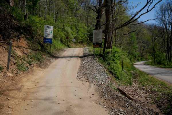
P10
Trail P10 is a 4.5-mile route that begins at the southern edge of the Pocahontas Trail System off Simmons River Road. It starts with a brief, steeper climb before transitioning into a gradual, winding path along the hillsides. The trail surface is smooth and easy, with occasional puddles, minor ruts...
Learn more about P10
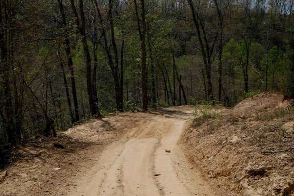
P13
Pocahontas 13 is a 3.1-mile route consisting mostly of a wide, gradual dirt road with minor ruts and scattered loose rocks. It passes through several well-marked intersections, making navigation straightforward. The trail features broad, sweeping corners and excellent visibility throughout. Some seg...
Learn more about P13
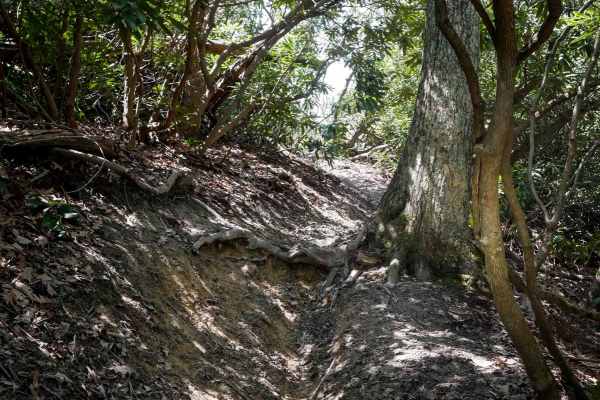
P181
Pocahontas 181 is designated as "Most Difficult" and is restricted to motorcycles only. Entering from the north, the trail begins as a narrow singletrack with exposed rocks and roots, descending into dense rhododendron thickets, with small drop-offs formed by root bands that will be more difficult i...
Learn more about P181
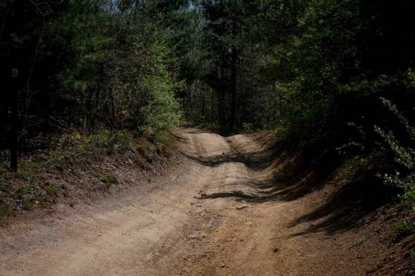
P27
Trail P27 is a short, connector stretching about a third of a mile. It features a smooth surface with very minor shallow ruts, wide, gradual corners, and excellent visibility throughout. With its gentle grade and minimal obstacles, P27 serves as a simple, user-friendly link between trails--ideal for...
Learn more about P27
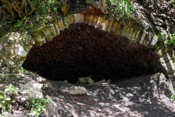
P29
Trail P29 is a half-mile route that offers a slightly rockier experience compared to the smoother graded roads nearby, while not being overly difficult. It begins with a descent and wide sweeping corners, featuring a surface of loose rocks--often pushed to the sides--and a few rockier hills with foo...
Learn more about P29
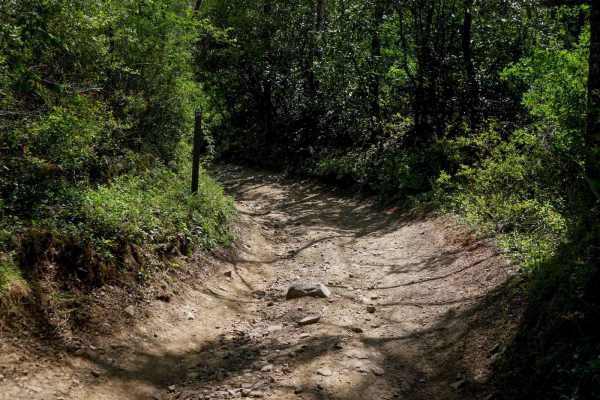
P26
Trail P26 is a 1-mile route that runs between two segments of P10, offering an easy terrain and forest scenery. It starts narrow as it winds through dense rhododendron thickets, with minor embedded and loose rock. The trail passes through several clearly marked intersections before transitioning int...
Learn more about P26
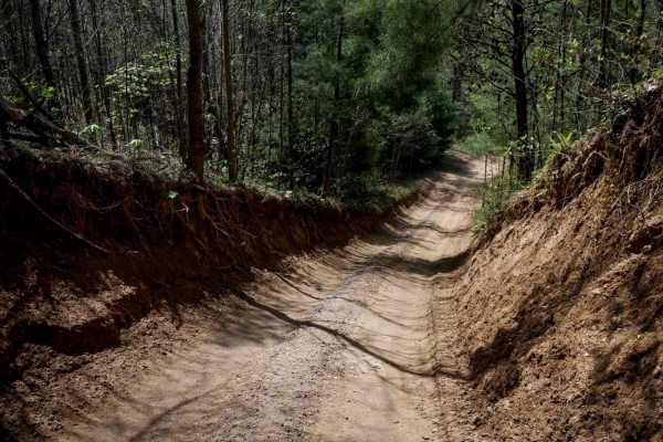
P23
Trail P23 is a short connector between two segments of Trail 13, beginning in a deeply eroded section cut below the forest floor, flanked by tall dirt walls. It transitions into a wide, smooth road with shallow ruts and gradual curves, passing through the intersection with P26 along the way. The tra...
Learn more about P23
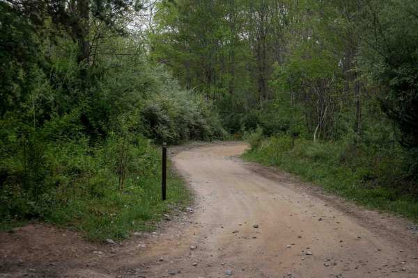
P12
Trail P12 is a 2-mile route connecting P15 and P13, spanning one end of the trail system to the other. It is very wide and smooth, with minor ruts and small rocks pushed to the sides. The trail passes through several well-marked intersections and features numerous waterbars, big banked corners, and ...
Learn more about P12
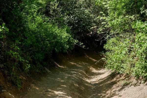
P80
Trail P80 is a short connector, less than a quarter mile long, linking Trails P28 and P27. From its west entrance, it descends steeply into a narrow, dug-out section beneath dense rhododendron, then levels out toward the bottom. The trail surface includes minor loose rocks, shallow ruts, sharper cur...
Learn more about P80
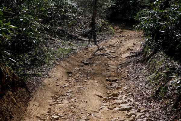
P28
Trail P28 is a 1.1-mile route that begins with a steep, rocky climb from the north, featuring deeper ruts and loose rock that may hold mud or moisture depending on conditions. As the trail progresses, the grade gradually levels out. After passing the intersection with Trail P25, you'll ride through ...
Learn more about P28
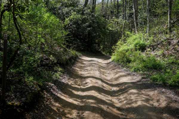
P25
Pocahontas 25 is a short connector--less than half a mile--linking Trails P10 and P28. Unlike the wider graded roads nearby, this narrower trail winds through dense rhododendron thickets, offering more shade and a secluded forest feel. The path features an uneven surface with deeper ruts, but remain...
Learn more about P25
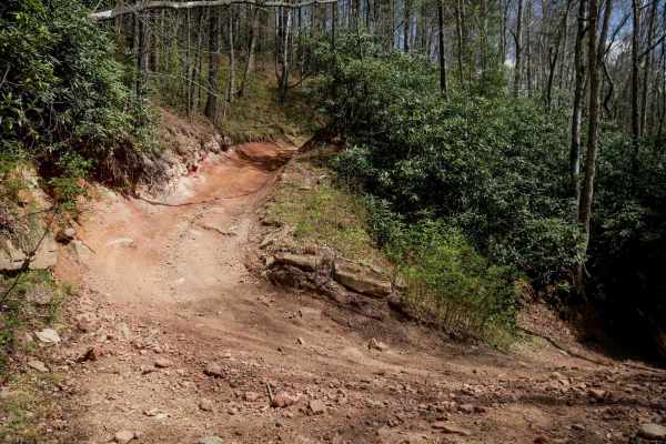
P22
Trail P22 is a steep, quarter-mile connector between trails P10 and P11. It runs through a shaded forest of tall eastern white pines and dense rhododendron, with consistently moist conditions. The trail is one-lane width with features such as steeper grades with loose, chunky rock and a couple of la...
Learn more about P22
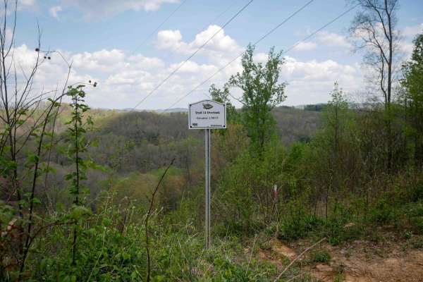
P14
Trail P14 is a 1.1-mile route that climbs from its south end up to the Overlook at 2,700 feet, continuing past it for a total elevation gain of about 300 feet. The climb is mostly gradual with a few steeper sections, and the trail remains very easy throughout. It is wide and mostly smooth, with a fe...
Learn more about P14
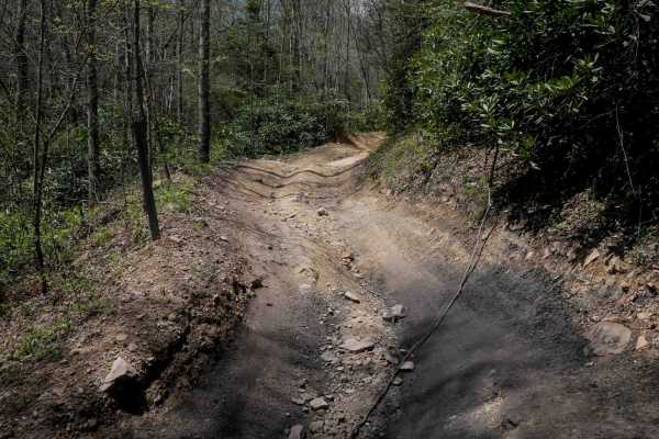
P32
Trail P32 is a short, quarter-mile connector with a moderate climb from east to west. Despite its brief length, it features more pronounced ruts and scattered small loose rocks. The trail surface includes sections of black, coal-like dirt--evidence of the area's mining history. An informational sign...
Learn more about P32
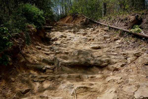
P70
Trail P70 is a short but technical climb, recommended for more experienced drivers. From the southern entrance, it begins with a steep, rocky ascent featuring large loose boulders and a narrow path. Embedded rock shelves--some up to two feet tall--create stair-step obstacles that capable UTVs can ta...
Learn more about P70
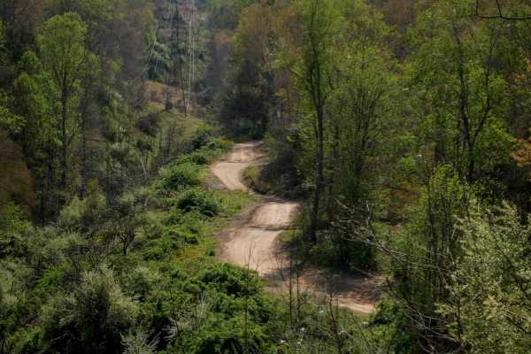
P19
Pocahontas 19 spans 2.3 miles and offers an easy, scenic ride beneath powerlines and through a forested corridor of rhododendron, Atlantic white cedars, and eastern white pines. The one-lane dirt road features shallow ruts, with some slightly deeper ruts as it gradually descends into the woods. Curv...
Learn more about P19
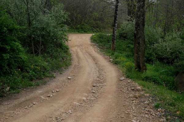
P24
Trail P24 is a half-mile connector between trails P11 and P12, featuring a big mud puddle at the entrance, minor shallow ruts, and loose rock. It includes sweeping corners and occasional flat embedded rock surfaces that do not increase the difficulty. Overall, it's an easy and straightforward transi...
Learn more about P24
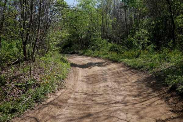
P31
Pocahontas 31 is a 1.1-mile connector between Trails P19 and P13, offering a smooth and easy ride. The trail features a wide dirt road with shallow ruts, gentle dips and humps, and large banked sweeping corners ideal for maintaining flow. While minor loose rocks appear in a few sections, the surface...
Learn more about P31
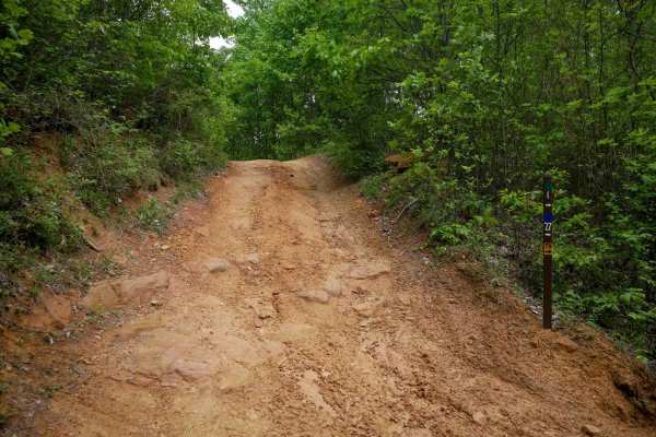
OP 27
OP 27 is a short, 600-yard loop off OP 1 that provides extra mileage along a forested hilltop. The trail features a mix of loose rock, flat embedded rock surfaces, and shallow ruts, with a few semi-steep spots when descending small hills heading south. Low branches and gentle curves through lush for...
Learn more about OP 27
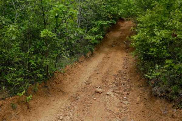
OP 42
OP 42 is a short, 300-yard loop off OP 1 that offers a bit more variation while remaining easy overall. Traveling clockwise, the trail begins with a steeper climb featuring shallow ruts and loose rock, requiring slow, steady momentum, but still manageable for most riders. It levels out at the top, p...
Learn more about OP 42
ATV trails near Bramwell, West Virginia
Explore ATV-friendly trails near you. These trails are accessible for vehicles up to 50 inches wide, perfect for ATVs and smaller off-road machines.
P10
Trail P10 is a 4.5-mile route that begins at the southern edge of the Pocahontas Trail System off Simmons River Road. It starts with a brief, steeper climb before transitioning into a gradual, winding path along the hillsides. The trail surface is smooth and easy, with occasional puddles, minor ruts...
Learn more about P10
P13
Pocahontas 13 is a 3.1-mile route consisting mostly of a wide, gradual dirt road with minor ruts and scattered loose rocks. It passes through several well-marked intersections, making navigation straightforward. The trail features broad, sweeping corners and excellent visibility throughout. Some seg...
Learn more about P13
P27
Trail P27 is a short, connector stretching about a third of a mile. It features a smooth surface with very minor shallow ruts, wide, gradual corners, and excellent visibility throughout. With its gentle grade and minimal obstacles, P27 serves as a simple, user-friendly link between trails--ideal for...
Learn more about P27
P29
Trail P29 is a half-mile route that offers a slightly rockier experience compared to the smoother graded roads nearby, while not being overly difficult. It begins with a descent and wide sweeping corners, featuring a surface of loose rocks--often pushed to the sides--and a few rockier hills with foo...
Learn more about P29
UTV/side-by-side trails near Bramwell, West Virginia
Find UTV and side-by-side trails near you. These trails accommodate vehicles up to 60 inches wide, ideal for UTVs, side-by-sides, and wider off-road rigs.
P10
Trail P10 is a 4.5-mile route that begins at the southern edge of the Pocahontas Trail System off Simmons River Road. It starts with a brief, steeper climb before transitioning into a gradual, winding path along the hillsides. The trail surface is smooth and easy, with occasional puddles, minor ruts...
Learn more about P10
P13
Pocahontas 13 is a 3.1-mile route consisting mostly of a wide, gradual dirt road with minor ruts and scattered loose rocks. It passes through several well-marked intersections, making navigation straightforward. The trail features broad, sweeping corners and excellent visibility throughout. Some seg...
Learn more about P13
P27
Trail P27 is a short, connector stretching about a third of a mile. It features a smooth surface with very minor shallow ruts, wide, gradual corners, and excellent visibility throughout. With its gentle grade and minimal obstacles, P27 serves as a simple, user-friendly link between trails--ideal for...
Learn more about P27
P29
Trail P29 is a half-mile route that offers a slightly rockier experience compared to the smoother graded roads nearby, while not being overly difficult. It begins with a descent and wide sweeping corners, featuring a surface of loose rocks--often pushed to the sides--and a few rockier hills with foo...
Learn more about P29
The onX Offroad Difference
onX Offroad combines trail photos, descriptions, difficulty ratings, width restrictions, seasonality, and more in a user-friendly interface. Available on all devices, with offline access and full compatibility with CarPlay and Android Auto. Discover what you're missing today!
Open Trail Map