
Dirt Bike Trails
Near Malden, West Virginia
Explore All Dirt Bike Trails Near Malden, West Virginia
Dirt Bike Trails Near Malden, West Virginia
Discover the best dirt bike trails near you. Browse trail maps, check difficulty ratings, and find your next adventure — whether you're looking for a quick ride or an all-day expedition.
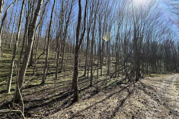
W26
W26 is a blue-rated ridge trail in the Witcher sector connecting W6 and W7. This route offers a more technical alternative between trails, combining elevation, terrain variation, and a rewarding finish. The trail follows a ridge line with mixed terrain, leading into a notable creek crossing near the...
Learn more about W26
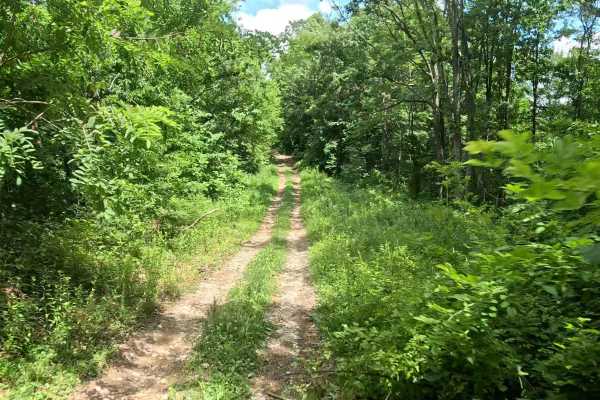
W27
W27 is a moderately difficult connector trail linking W23 and W7. The trail features approximately 700 feet of elevation change, making it a sustained climb when traveling from W23 or a sustained descent when traveling from W7. The trail consists primarily of dirt with scattered rocks. The upper por...
Learn more about W27
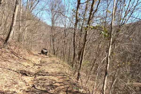
W23
W23 is a black-rated trail branching off W7 to the north and descending south to connect with W6. This route offers a technical downhill run into the valley, combining challenging terrain with exceptional scenic views. The trail runs primarily downhill from north to south, featuring large washouts a...
Learn more about W23
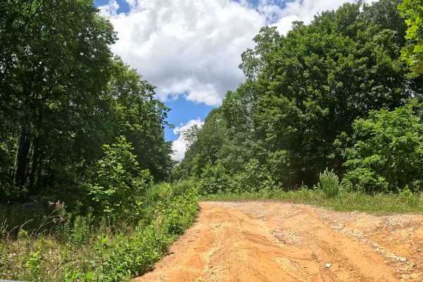
W7A
W7A is an easy offshoot trail branching from W7. It provides access to W7B and a designated play area featuring several small hill climbs. The trail consists of a gravel and clay surface with gentle grades. The route leads to an open area with several small hill climbs suitable for recreational ridi...
Learn more about W7A
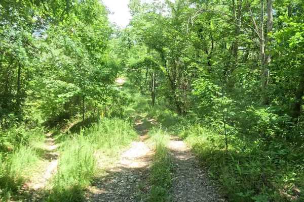
W7B
W7B is an easy offshoot trail branching from W7A. It provides access to a small play area featuring several short hill climbs. The trail consists of clay and shale with several small hill climbs. The terrain is short but can provide a fun challenge depending on surface conditions. Approach the hill ...
Learn more about W7B
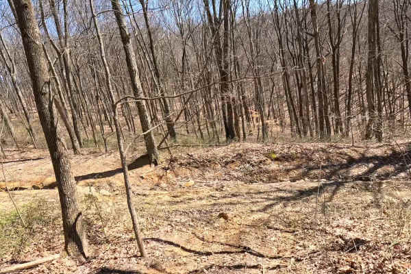
W22A
W22A is a designated bypass route off W7 that allows riders to avoid the rock ledge at the top of W22. This trail provides a safer alternative for those not wishing to attempt the main obstacle. Use W22A if you prefer to bypass the rock ledge or are operating a smaller machine. Stay aware of oncomin...
Learn more about W22A
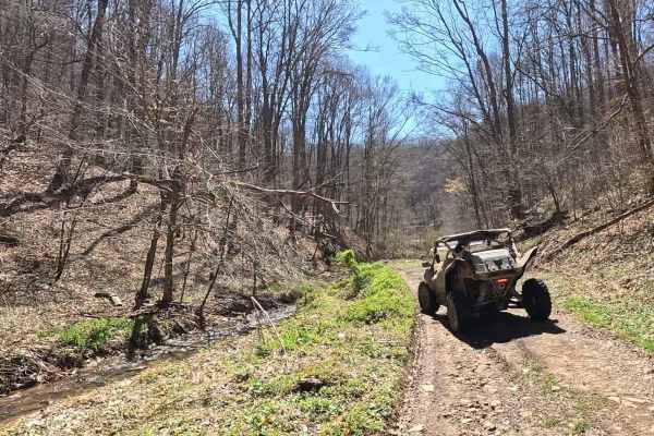
W22
W22 is a blue-rated trail branching off W7 that delivers a more technical and rewarding ride through the Witcher area. This route combines challenging features with scenic payoff, making it a standout trail in the system. You can connect to the southern part of W22 from Dry Branch Road, which will t...
Learn more about W22
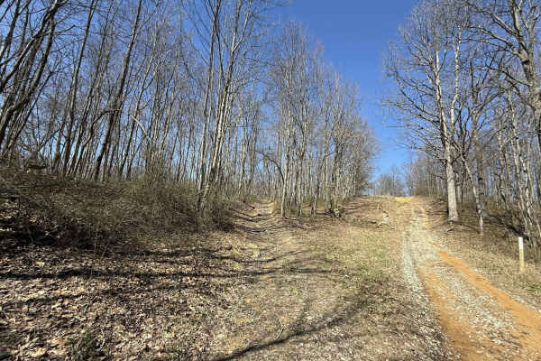
W7
W7 is a blue-rated trail accessible from Branch Road, running north to the edge of the AOT property. This route serves as a key connector within the Witcher sector, providing access to multiple more challenging trails along the way. The trail features a mix of gravel and clay surfaces, with sections...
Learn more about W7
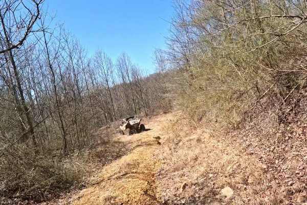
W20
W20 is a short connector trail within the Witcher area that provides access to dispersed camping sites. While most trails are on the easier difficulty side, this trail includes a few notable washouts and off-camber hills that require added attention on descent. Washouts may deepen over time and can ...
Learn more about W20
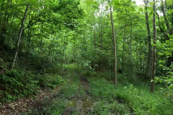
W13A
W13A is an easy offshoot trail branching from W13. It provides a short alternate route through this section of the Witcher trail system. The trail consists of a mix of dirt and grass with gentle grades and minimal obstacles. Seasonal vegetation may narrow portions of the trail due to overgrowth.
Learn more about W13A
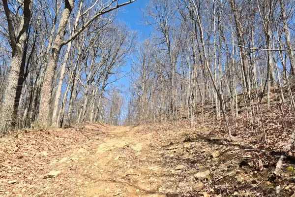
W21
W21 is a connecting trail branching off W2, offering a slightly more varied ride with a mix of terrain and a notable hill section. This route serves as a secondary connector while introducing a bit more challenge than the main corridors. The trail consists of a mix of gravel and clay surfaces, with ...
Learn more about W21
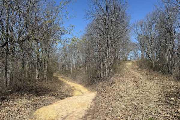
W2A
W2A is an alternate route branching off W2 that provides access to the upper ridge section of W5. This short connector offers a more engaging option for riders looking to break off of the main route and head further east into the Witcher area. The trail consists of a mix of gravel and clay, with a g...
Learn more about W2A
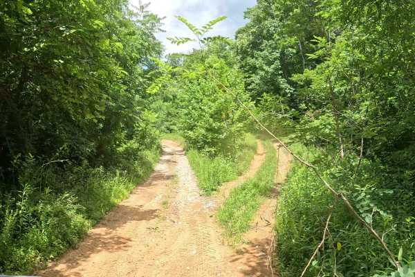
W2E
W2E is an easy alternate route that branches from W2 and reconnects with W2 farther along the trail. It provides an opportunity to bypass slower traffic or take an alternate route along the upper shelf. The trail consists of a mix of dirt, gravel, and clay with gentle grades and minimal obstacles. I...
Learn more about W2E
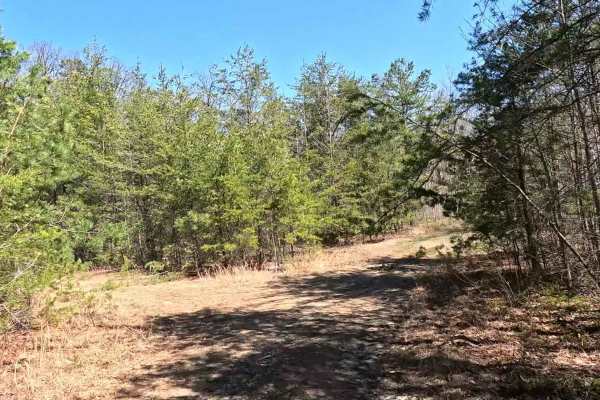
W19
W19 is a short loop branching off W5, offering an easy, low-commitment ride through the Witcher area. This trail is ideal for riders looking for a quick detour or a relaxed loop off the main route. The trail features a dirt base with sections of grass overgrowth, giving it a more natural, less-trave...
Learn more about W19
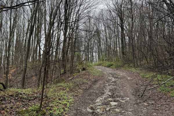
W8
W8 is an easy gravel trail branching from W6 that runs across the upper portion of the Witcher sector before reconnecting with W9. This route provides a smooth, high-ground connection between key trails in the system. The trail consists of a gravel surface with a steady, easy flow. Running along the...
Learn more about W8
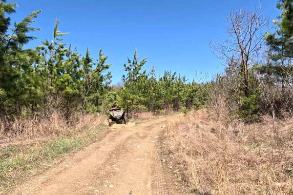
W1A
W1A is an alternate spur branching off the main W1 route in the Witcher sector. This trail offers a quieter, more enclosed ride through the woods while still paralleling the primary corridor. The trail consists of a gravel surface with slight elevation changes depending on the direction of travel. I...
Learn more about W1A
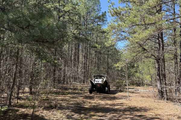
W5
W5 is a connecting ridge trail that links W1 from the south to W2 at the northern ridgetop. This scenic route wraps around the hillside, offering a more immersive ride through the Witcher area while maintaining access between primary corridors. The trail consists mostly of gravel with sections of li...
Learn more about W5
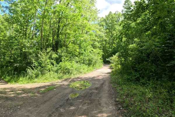
W12
W12 is an easy connector trail linking W6 on the west side to W11 on the east. It provides access to the network of connector trails throughout this section of the Witcher trail system. The trail consists of a well-traveled gravel surface with slight grades and minimal obstacles. Riders will experie...
Learn more about W12
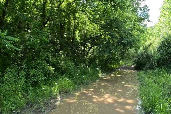
W6A
W6A is an easy offshoot trail branching from W6. The trail provides access to a suitable dispersed camping area away from the main travel route. The trail consists of hard-packed dirt and grass with gentle grades and minimal obstacles. Its short length and relatively flat terrain make it well suited...
Learn more about W6A
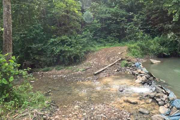
W6B
W6B is an easy loop trail branching from W6 and reconnecting with W6 farther along the route. It provides access to W6C and a small creek that serves as a popular place to stop and cool off during warm weather. The trail consists of a mix of gravel and dirt with scattered loose pebbles and rocks. It...
Learn more about W6B
ATV trails near Malden, West Virginia
Explore ATV-friendly trails near you. These trails are accessible for vehicles up to 50 inches wide, perfect for ATVs and smaller off-road machines.
W26
W26 is a blue-rated ridge trail in the Witcher sector connecting W6 and W7. This route offers a more technical alternative between trails, combining elevation, terrain variation, and a rewarding finish. The trail follows a ridge line with mixed terrain, leading into a notable creek crossing near the...
Learn more about W26
W27
W27 is a moderately difficult connector trail linking W23 and W7. The trail features approximately 700 feet of elevation change, making it a sustained climb when traveling from W23 or a sustained descent when traveling from W7. The trail consists primarily of dirt with scattered rocks. The upper por...
Learn more about W27
W23
W23 is a black-rated trail branching off W7 to the north and descending south to connect with W6. This route offers a technical downhill run into the valley, combining challenging terrain with exceptional scenic views. The trail runs primarily downhill from north to south, featuring large washouts a...
Learn more about W23
W7A
W7A is an easy offshoot trail branching from W7. It provides access to W7B and a designated play area featuring several small hill climbs. The trail consists of a gravel and clay surface with gentle grades. The route leads to an open area with several small hill climbs suitable for recreational ridi...
Learn more about W7A
UTV/side-by-side trails near Malden, West Virginia
Find UTV and side-by-side trails near you. These trails accommodate vehicles up to 60 inches wide, ideal for UTVs, side-by-sides, and wider off-road rigs.
W26
W26 is a blue-rated ridge trail in the Witcher sector connecting W6 and W7. This route offers a more technical alternative between trails, combining elevation, terrain variation, and a rewarding finish. The trail follows a ridge line with mixed terrain, leading into a notable creek crossing near the...
Learn more about W26
W27
W27 is a moderately difficult connector trail linking W23 and W7. The trail features approximately 700 feet of elevation change, making it a sustained climb when traveling from W23 or a sustained descent when traveling from W7. The trail consists primarily of dirt with scattered rocks. The upper por...
Learn more about W27
W23
W23 is a black-rated trail branching off W7 to the north and descending south to connect with W6. This route offers a technical downhill run into the valley, combining challenging terrain with exceptional scenic views. The trail runs primarily downhill from north to south, featuring large washouts a...
Learn more about W23
W7A
W7A is an easy offshoot trail branching from W7. It provides access to W7B and a designated play area featuring several small hill climbs. The trail consists of a gravel and clay surface with gentle grades. The route leads to an open area with several small hill climbs suitable for recreational ridi...
Learn more about W7A
The onX Offroad Difference
onX Offroad combines trail photos, descriptions, difficulty ratings, width restrictions, seasonality, and more in a user-friendly interface. Available on all devices, with offline access and full compatibility with CarPlay and Android Auto. Discover what you're missing today!
Open Trail Map