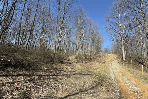
Trail Overview
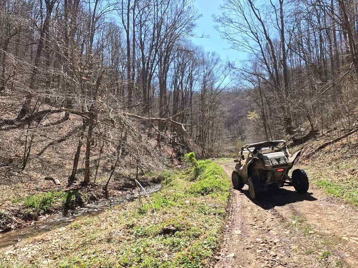
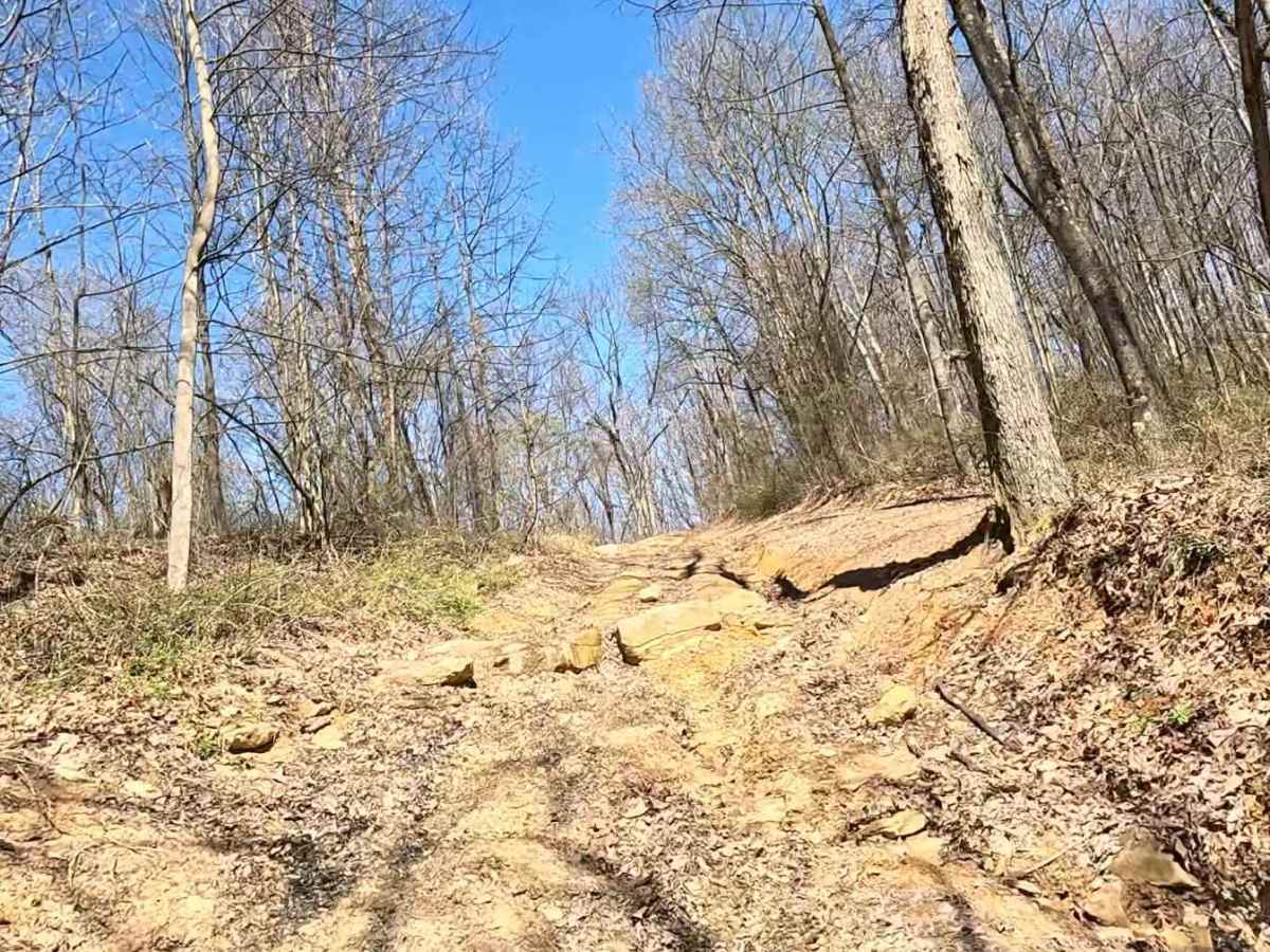
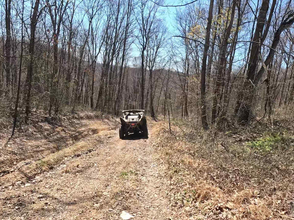
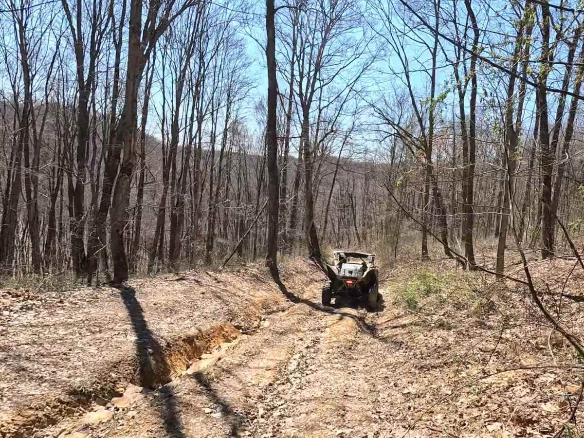
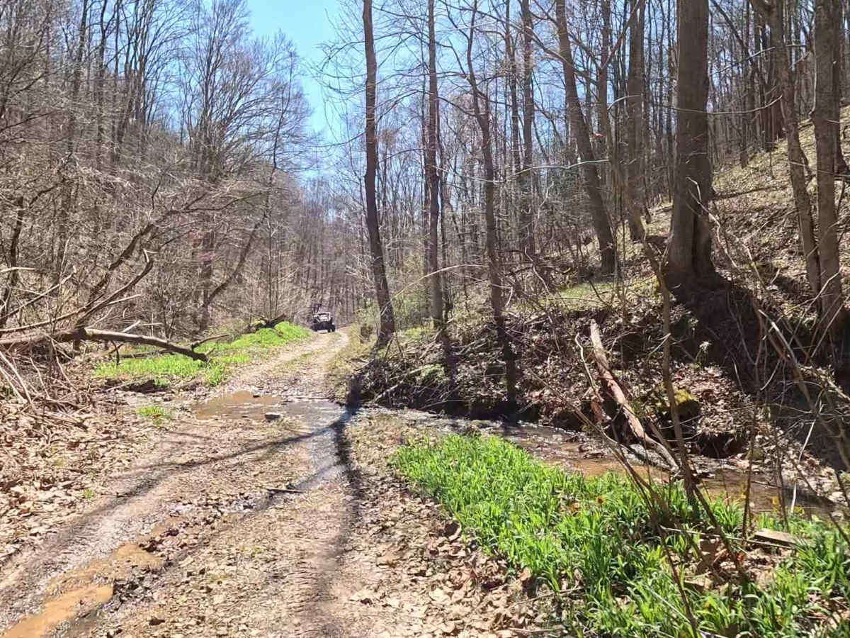
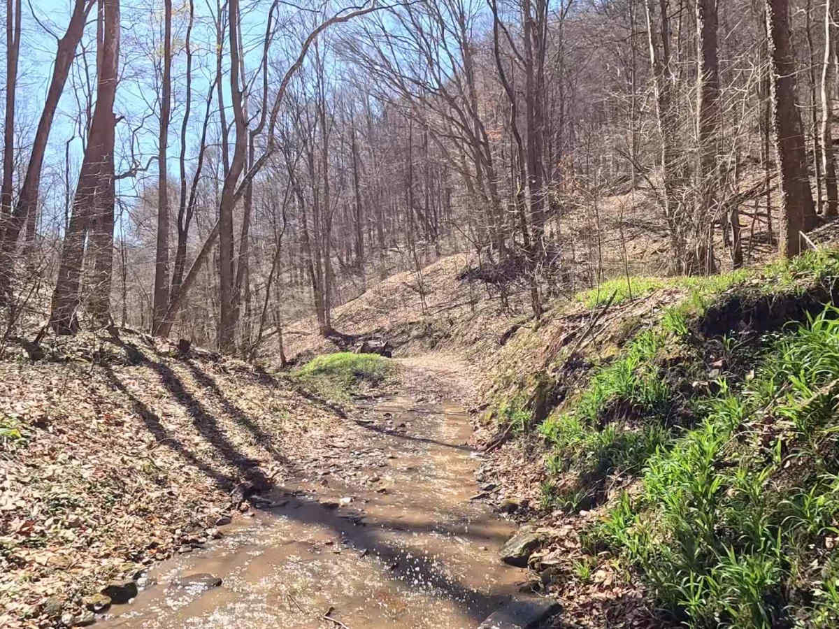
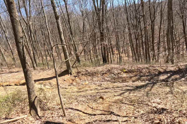
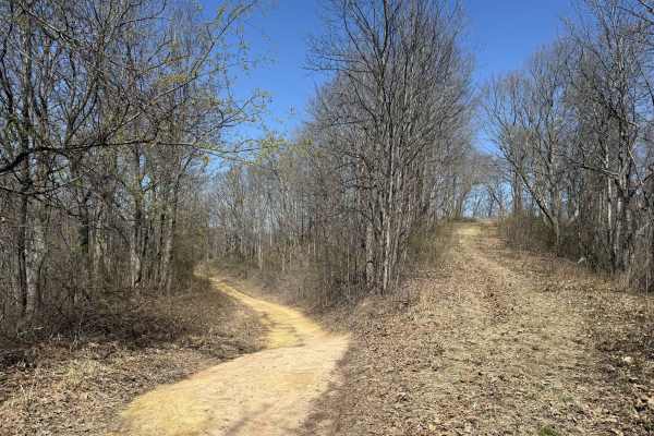
W22 is a blue-rated trail branching off W7 that delivers a more technical and rewarding ride through the Witcher area. This route combines challenging features with scenic payoff, making it a standout trail in the system. You can connect to the southern part of W22 from Dry Branch Road, which will take you up in elevation on this challenging offering. The trail begins with a rock ledge, setting the tone early. From there, riders descend through a series of washout sections before entering a rocky downhill stretch that requires careful navigation. The trail opens up to stunning views of the valley below and finishes with a few creek crossings to round out the experience.
Difficulty
Moderate (Blue). Technical terrain including rock ledges, washouts, and rocky descents. Best suited for 4WD and high-clearance vehicles. Driver awareness, line choice, and controlled braking are important throughout. Rock and washout sections may become more technical after rain, with reduced traction and deeper erosion.
History
Take time to assess the rock ledge before committing, and use low gear on the downhill sections to maintain control. Watch your line through washouts and approach creek crossings with awareness of depth and current conditions.