Dirt Bike Trails
Near Little Rock, Minnesota
Explore All Dirt Bike Trails Near Little Rock, Minnesota
Dirt Bike Trails Near Little Rock, Minnesota
Discover the best dirt bike trails near you. Browse trail maps, check difficulty ratings, and find your next adventure — whether you're looking for a quick ride or an all-day expedition.
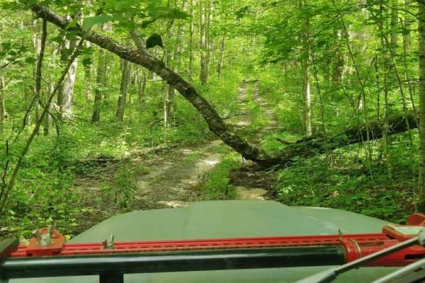
West Turtle Lake Loop Trail
The West Turtle Lake Loop Trail (Trail #2513) offers a challenging, highly overgrown forest adventure for experienced offroaders seeking a remote and technical route in the northwest quadrant of Chippewa National Forest. This tight 4.7-mile loop features a narrow, single-lane dirt track that winds t...
Learn more about West Turtle Lake Loop Trail
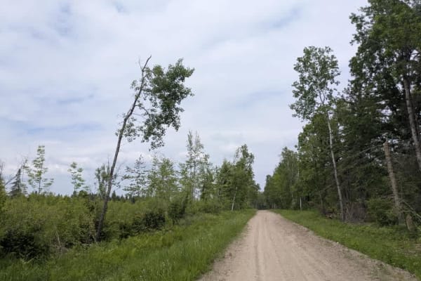
2415
This trail is a designated OHV route, consisting primarily of well-maintained gravel, although some sections are bumpy. It winds through the landscape with a few gentle climbs and descents, and several smaller trails branch off from the main route. One of these side trails provides access to the lak...
Learn more about 2415
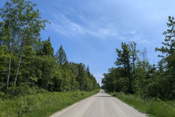
141
This trail is long, wide, and made up of dusty but well-maintained gravel. It runs mostly straight, though there are some winding sections, particularly toward the lower portion. The southern section is popular with ATV riders as it passes through a mix of open fields, forested areas, and scattered ...
Learn more about 141
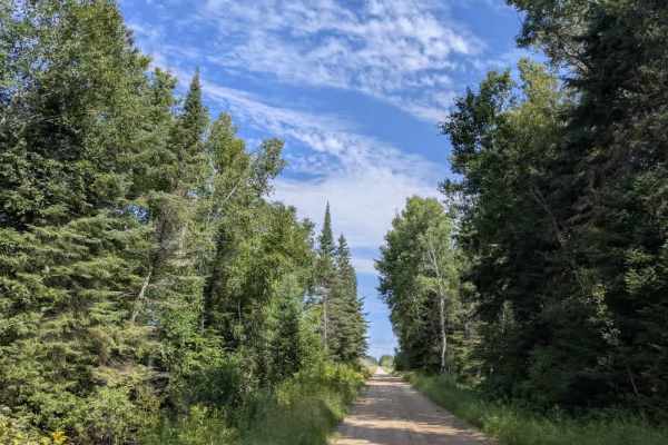
Faunce Forest Road
This long, arrow-straight trail is a well-maintained gravel route that is generally two vehicles wide. It passes through a mix of forest and open clearings, with sections that contain potholes and occasional puddles. A rustic campsite is located along the route, offering basic facilities such as tab...
Learn more about Faunce Forest Road

31
This long gravel trail is generally well maintained, though it varies in width and includes a few bends as it winds past Spruce Lake. The surrounding area includes farms and homesteads, so watching for local traffic along the way is essential. The route also provides access to Island Lake and Moose ...
Learn more about 31
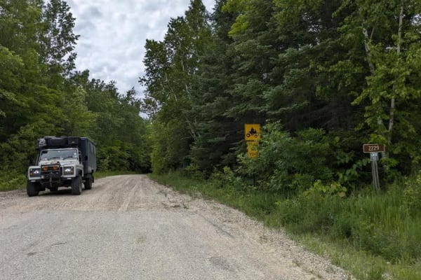
2229
This trail is a narrow, designated OHV route maintained by the local ASL ATV Club. It includes sandy, bumpy, and corrugated stretches and crosses a wetland area via a bridge, where turtles are often seen on or near the trail. Keep an eye out for fallen trees. A few spur trails branch off the main ro...
Learn more about 2229
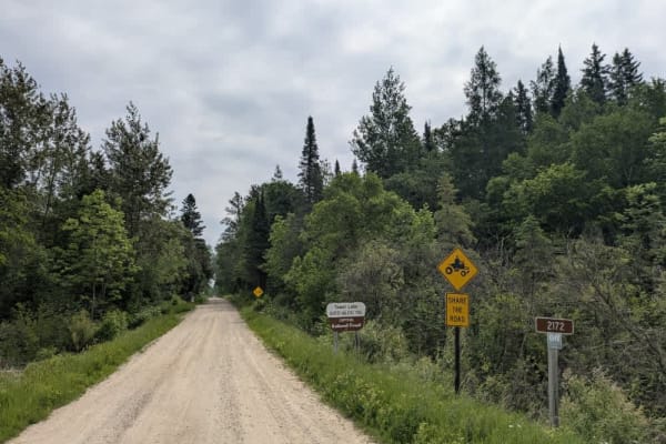
Pennington Truck Trail
This trail is buttery smooth, well-maintained fine gravel that may become muddy after or during heavy rain. There are a few gentle curves, ascents, and descents under a forest canopy so thick that you can sometimes see only patches of sky. A few trails split off from the main route, and a dispersed ...
Learn more about Pennington Truck Trail
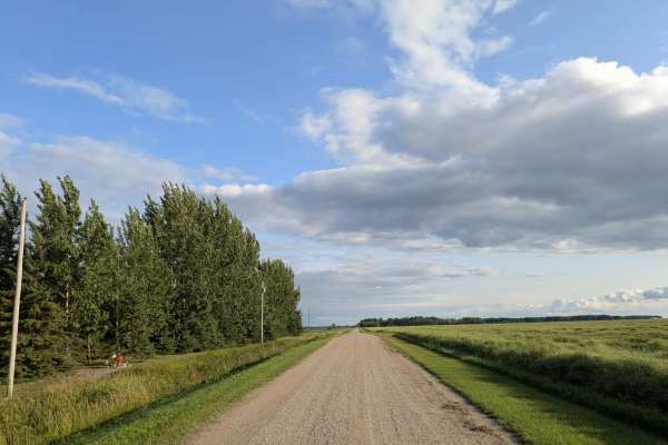
Dylan Road NW
This long and scenic road is part of the Fourtown Grygla Trail and features a well-maintained, smooth gravel surface. The width varies, with some sections accommodating two vehicles and others narrowing to single-vehicle passage. The route passes by working farms, scenic farmhouses, and stretches of...
Learn more about Dylan Road NW

156
This trail consists of well-maintained gravel and follows a mostly straight path through forested areas. In places where the trail curves, the surface becomes noticeably bumpier and more corrugated. It passes by several homesteads and tends to be dusty, especially in dry weather. Local traffic is co...
Learn more about 156
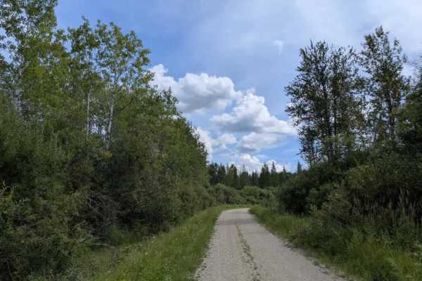
Pitt Grade Forest Trail
This 17-mile-long trail is mostly a smooth two-track route, single-vehicle wide, with some potholes scattered along its length. It winds through a mix of forest and scrub, offering a scenic drive and crossing at least one creek along the way. In certain areas, water lies beside the trail, so caution...
Learn more about Pitt Grade Forest Trail
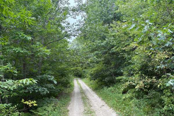
Heart Lake Trail
Heart Lake Trail is a narrow forestry road near Itasca State Park. The trail is very narrow in spots with overgrown vegetation. The fall colors and Wildlife along this trail are definitely worth the travel. In the Spring thaw and heavy rain periods, some of the trail can have some overflow and ruts....
Learn more about Heart Lake Trail
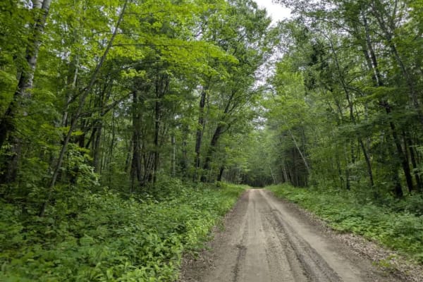
2364
This trail is narrow and mostly smooth, though some sections are bumpy. It winds through a forest dominated by maple trees, with a few young trees fallen across the path. There are some gentle curves, but very few side trails branch off from the main route. The trail crosses a wetland area, and sign...
Learn more about 2364
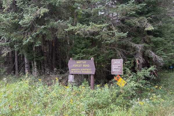
Waptus Forest Road
Waptus Forest Road is an easy to navigate Forestry Road near Itasca State Park. The Trail is mostly wide open with some narrow sections with low overhead clearance. Wildlife and scenery are abundant, making it a perfect fall color trail. This trail connects to many others in the area. Closed Decembe...
Learn more about Waptus Forest Road
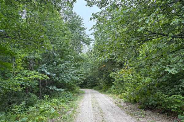
Otterkill Trail
The Otterkill trail is a gravel forestry trail with some tight vegetation in spots. This trail is easy to navigate but may get overgrown depending on the year. It is located near Itasca State Park, making it a beautiful Fall color tour trail to take. Closed December 1 to March 31.
Learn more about Otterkill Trail
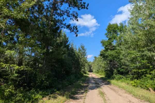
2352
This trail is a long and scenic route that alternates between single-vehicle and two-vehicle widths in different sections. The surface is primarily well-maintained gravel, though some stretches can be bumpy. Access begins from the paved Scenic Highway, and the trail eventually loops back to reconnec...
Learn more about 2352
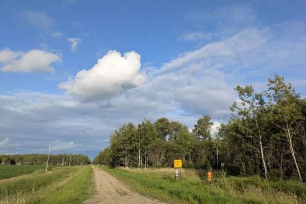
Wildlife Road NW
The surface is well-maintained gravel, though drivers should watch for slippery patches, deer crossing the road, and local traffic. The route passes a farmhouse and stretches of open fields while running parallel to a Wildlife Management Area. Along the way, a rustic two-track trail branches off, ma...
Learn more about Wildlife Road NW

32
This trail is mostly straight and composed of well-maintained gravel, offering an easy and pleasant ride. It passes several neatly kept homesteads, which are common in this area, and also runs alongside a small cemetery. A few smaller trails branch off from the main route, providing limited opportun...
Learn more about 32
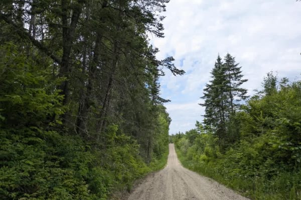
3330
This relatively narrow trail is part of the Corridor Access Trail Route and is maintained by the ASL ATV Club. It winds through dense forest, featuring several gentle climbs and descents, and crosses wetlands and a few small bridges along the way. Western Painted turtles are sometimes spotted near t...
Learn more about 3330
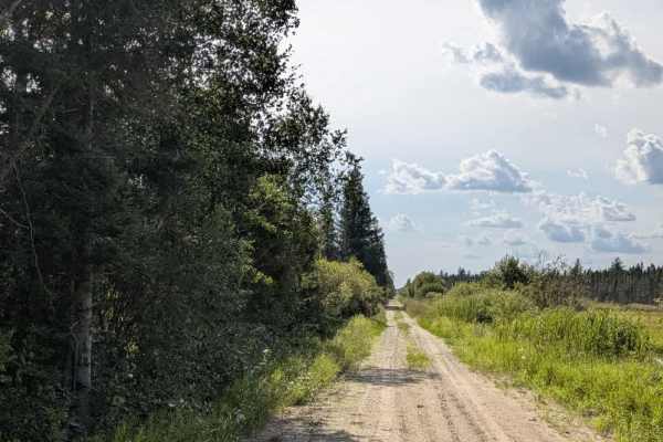
Rapid River Road
This is a very long, unmaintained two-track trail that should be traveled at your own risk. For much of its length, it runs smoothly through forested terrain, offering a generally scenic route. This trail also runs alongside the Beltrami Wildlife Management Area, so beware of wildlife crossing the t...
Learn more about Rapid River Road
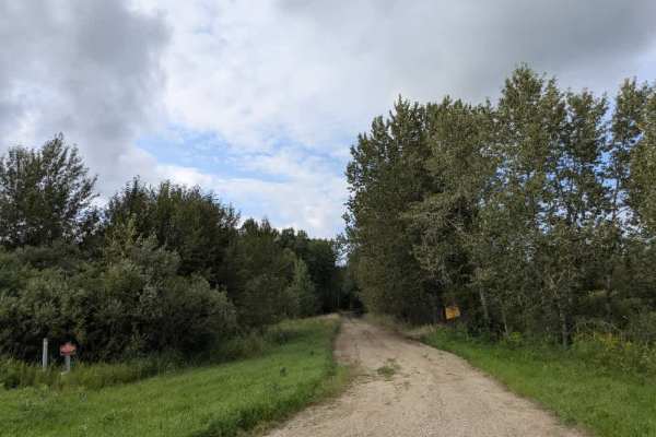
Morel Road NW
This trail runs mostly straight and intersects with Moose River Road. One end of the trail begins in forested terrain with a well-maintained gravel surface that can become muddy in wet conditions. The route eventually leads to private property, so access beyond that point is not permitted. After the...
Learn more about Morel Road NW
ATV trails near Little Rock, Minnesota
Explore ATV-friendly trails near you. These trails are accessible for vehicles up to 50 inches wide, perfect for ATVs and smaller off-road machines.
West Turtle Lake Loop Trail
The West Turtle Lake Loop Trail (Trail #2513) offers a challenging, highly overgrown forest adventure for experienced offroaders seeking a remote and technical route in the northwest quadrant of Chippewa National Forest. This tight 4.7-mile loop features a narrow, single-lane dirt track that winds t...
Learn more about West Turtle Lake Loop Trail
2415
This trail is a designated OHV route, consisting primarily of well-maintained gravel, although some sections are bumpy. It winds through the landscape with a few gentle climbs and descents, and several smaller trails branch off from the main route. One of these side trails provides access to the lak...
Learn more about 2415
141
This trail is long, wide, and made up of dusty but well-maintained gravel. It runs mostly straight, though there are some winding sections, particularly toward the lower portion. The southern section is popular with ATV riders as it passes through a mix of open fields, forested areas, and scattered ...
Learn more about 141
Faunce Forest Road
This long, arrow-straight trail is a well-maintained gravel route that is generally two vehicles wide. It passes through a mix of forest and open clearings, with sections that contain potholes and occasional puddles. A rustic campsite is located along the route, offering basic facilities such as tab...
Learn more about Faunce Forest Road
UTV/side-by-side trails near Little Rock, Minnesota
Find UTV and side-by-side trails near you. These trails accommodate vehicles up to 60 inches wide, ideal for UTVs, side-by-sides, and wider off-road rigs.
West Turtle Lake Loop Trail
The West Turtle Lake Loop Trail (Trail #2513) offers a challenging, highly overgrown forest adventure for experienced offroaders seeking a remote and technical route in the northwest quadrant of Chippewa National Forest. This tight 4.7-mile loop features a narrow, single-lane dirt track that winds t...
Learn more about West Turtle Lake Loop Trail
2415
This trail is a designated OHV route, consisting primarily of well-maintained gravel, although some sections are bumpy. It winds through the landscape with a few gentle climbs and descents, and several smaller trails branch off from the main route. One of these side trails provides access to the lak...
Learn more about 2415
141
This trail is long, wide, and made up of dusty but well-maintained gravel. It runs mostly straight, though there are some winding sections, particularly toward the lower portion. The southern section is popular with ATV riders as it passes through a mix of open fields, forested areas, and scattered ...
Learn more about 141
Faunce Forest Road
This long, arrow-straight trail is a well-maintained gravel route that is generally two vehicles wide. It passes through a mix of forest and open clearings, with sections that contain potholes and occasional puddles. A rustic campsite is located along the route, offering basic facilities such as tab...
Learn more about Faunce Forest Road
The onX Offroad Difference
onX Offroad combines trail photos, descriptions, difficulty ratings, width restrictions, seasonality, and more in a user-friendly interface. Available on all devices, with offline access and full compatibility with CarPlay and Android Auto. Discover what you're missing today!
Open Trail Map