
Dirt Bike Trails
Near Las Nutrias, New Mexico
Explore All Dirt Bike Trails Near Las Nutrias, New Mexico
Dirt Bike Trails Near Las Nutrias, New Mexico
Discover the best dirt bike trails near you. Browse trail maps, check difficulty ratings, and find your next adventure — whether you're looking for a quick ride or an all-day expedition.
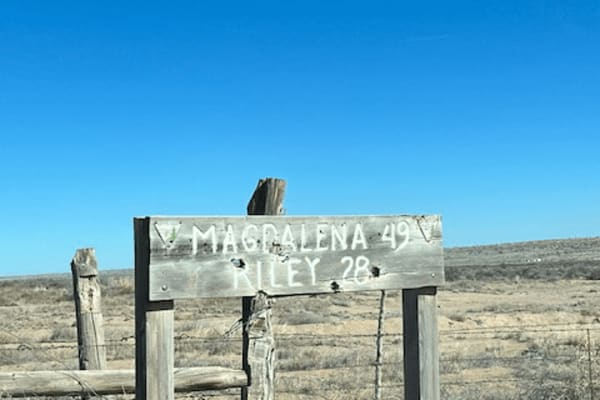
Riley CR 12
This is a wide-open sky drive that starts on the northwest side of the Sevilleta Wildlife Refuge. It winds around the striking Ladron (Thieves) Mountain. There are a few scattered ranches but most of the area is owned by the federal Bureau of Land Management that borders the Wildlife Refuge. The Lad...
Learn more about Riley CR 12
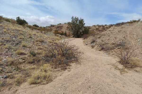
Powerline Pass
A nice trail for beginners wanting a fun challenge. This trail is packed with rocks, washed-out roads and a few steep inclines to keep you on your toes. Go with a buddy due to a large amount of sharp rocks and cactus. While on the trail you'll have sights of huge open fields and desert, surrounded b...
Learn more about Powerline Pass
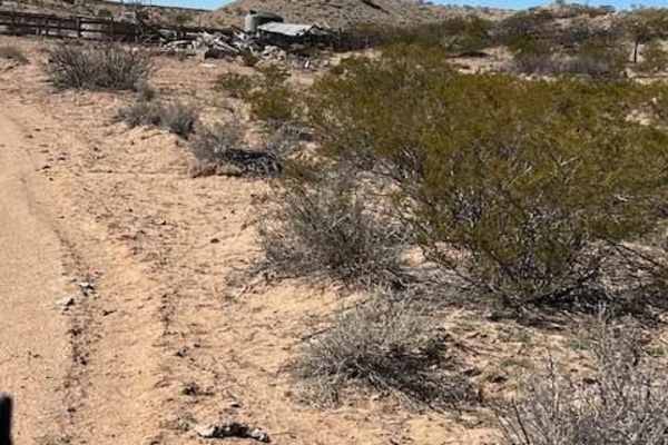
Windmill
This is a spur trail off Riley CR 12. It winds around some small hills and ends at a picturesque windmill, watering tank, and building ruins. The majestic Ladron mountains create the backdrop. Locals target shoot in this area so listen for shooting before venturing onto this trail.
Learn more about Windmill
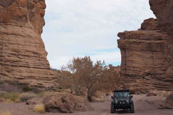
San Lorenzo Canyon
San Lorenzo Canyon is a series of rock formations and canyons on the southern border of Servilleta Wildlife Refuge. This area features numerous hiking and camping opportunities in a unique landscape not far from Albuquerque. It's a favorite day trip for locals, and you will often find others here hi...
Learn more about San Lorenzo Canyon
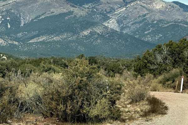
FS 422 Priest Canyon
This route travels through the southern tip of the Manzano Mountains and connects the village of Manzano on State Highway 131 with State Highway 60. It travels along a right-of-way through private property on both ends before entering the Cibola Forest. The trail can be dusty and has a few low water...
Learn more about FS 422 Priest Canyon
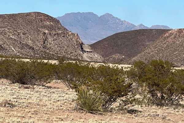
Puertecito of Bowling Green
This relatively flat, sandy route travels on the east side of the Veranito Wilderness Study Area and the south side of the Sevilleta National Wildlife Refuge. There are some erosion issues, especially toward the end of the route. It dead ends at a geological gap curiously named Puertecito of Bowling...
Learn more about Puertecito of Bowling Green
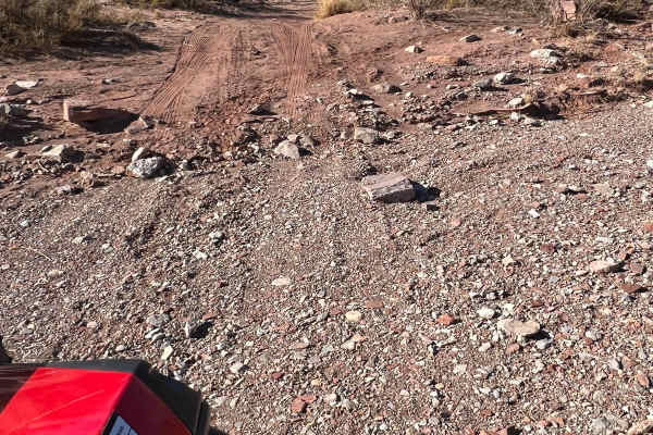
Little Challenge
This beautiful, narrow route is a little challenging in spots. Fortunately, the challenges are navigable and not very dangerous. If you get into trouble, there are various places to have another vehicle help out. The main issues are deep sand, arroyo crossings, erosion, and rocks. Soaring hawks and ...
Learn more about Little Challenge
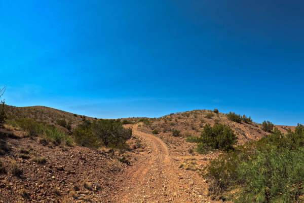
East Loop
East Loop is a part of the Gordy’s Johnson Trail Network System. This is a simple trail, crossing over a canyon to easily get to another portion of the trail system. Expect loose rock and some gradual hills. There are a few eroded spots that have wide enough trails that you will be able to bypass th...
Learn more about East Loop
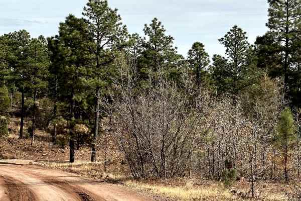
Red Canyon Campground
This is an easy route to the beautiful, well-shaded, and peaceful Red Canyon Campground. The campground is at 7,600 feet in elevation. It can accommodate RVs up to 22 feet. It is easy access to the Manzano Wilderness on the Red and Spruce Canyon trails on foot or horseback. The campground has corr...
Learn more about Red Canyon Campground
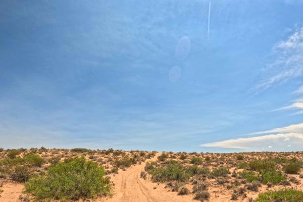
JH0099
JH0099 is a part of the Gordy's Trail system. It starts as an easy, mostly Level 2 trail with some unmaintained sections. It becomes steeper and more challenging with ruts, off-camber terrain, and climbs and descents over the mountains. One deep sand climb may require using an alternate route, which...
Learn more about JH0099
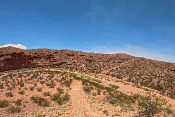
Top of the Canyon
A scenic, single-lane trail that climbs over the top of a hill with rolling ups and downs, loose rock throughout, and a steep climb that demands attention. The route includes narrow sections with possible pinstripes, off-camber terrain, and a challenging final section along the edge of loose rock. N...
Learn more about Top of the Canyon
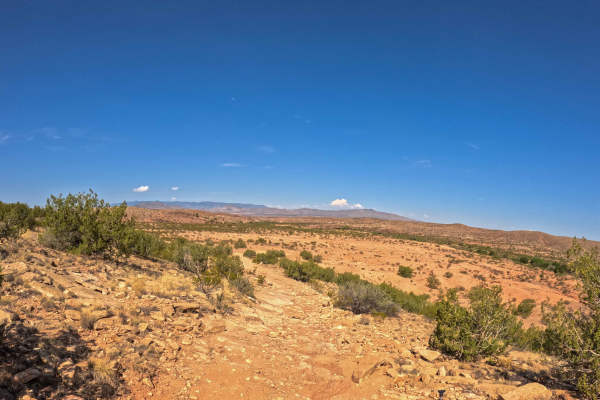
Upper Flagstone Road
A part of the Gordy’s Johnson Trail Network System, this is a scenic trail with some rutted sections, loose rock, and small rock-climbing obstacles. The route includes off-camber areas, dirt sections, and some steep climbs. A gate at the end of the trail requires closure after passing through. This ...
Learn more about Upper Flagstone Road
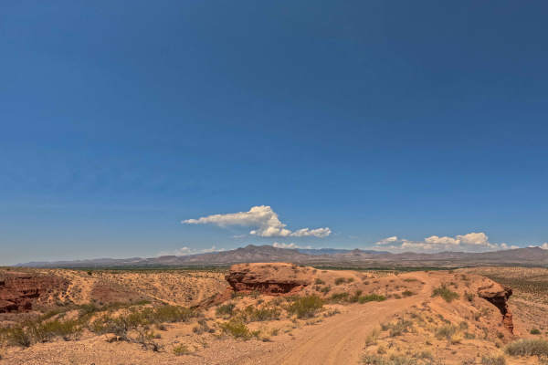
Ridge View
Ridge View is a short outer-rim loop trail within the Gordy’s Johnson Trail Network System, with a quick offshoot of a scenic ridge turnaround point that you are able to drive up onto. This trail features small rolling ups and downs, two steep hill sections, sandy terrain, and loose rock.
Learn more about Ridge View
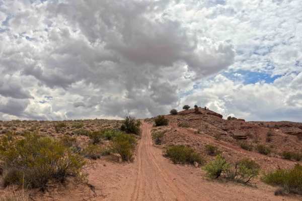
JH0086
A part of the Gordy’s Johnson Trail Network System, this is a half-sandy, half-dirt, and small loose rock trail that leads to the top of the hillside with many offshoots of steep hills to go down. The sandy portion comes with a few off-camber areas. The sand might be a couple of inches thick. The fi...
Learn more about JH0086
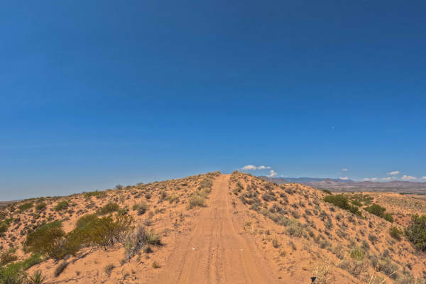
Washboard Ridge
There are offshoots of steep, sandy slopes from the top of the ridge. This trail has loose rock along the way, 3 inches or so of sand, with portions of deeper sand that can be navigated while maintaining momentum. There are parts that are rutted, with ups and downs, parts that are smooth, and portio...
Learn more about Washboard Ridge
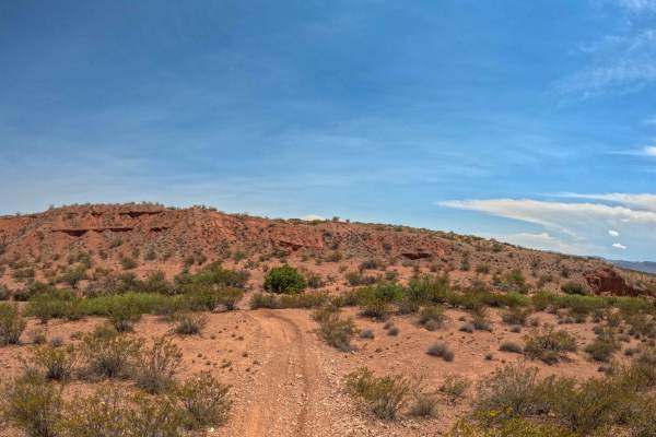
JH104
A part of the Gordy's trail system, this trail is an additional way of getting from the North to the South end of the trail system. You may get pinstripes as it is narrow at some points. You will find brush, loose rock, some sandboard terrain, and a sandy hill.
Learn more about JH104
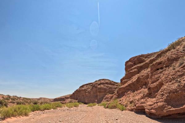
Arroyo De La Parida
A very scenic arroyo trail with portions of deep, loose rock throughout, multiple offshoots of trail options, and several rock gardens with a small rock crawl, with a bypass available. The trail includes a sharp rock descent at one point. Trailhead starts at the north staging area, with a gate that ...
Learn more about Arroyo De La Parida
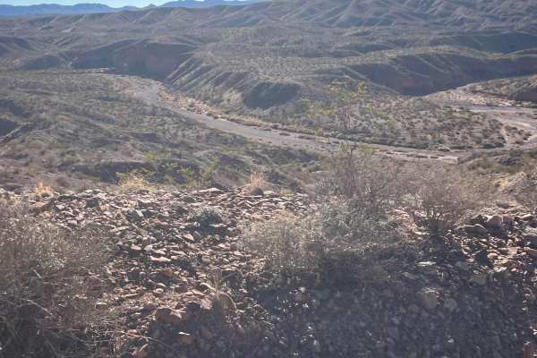
Johnson Hill View
As this route climbs Johnson Hill, it follows the National Historical Trail the El Camino Real de Tierra Adentro. This translates to The Royal Road of the Interior Land. It was also known as the Silver Route. It is a 1,590-mile road between Mexico City and San Juan Pueblo (Ohkay Owingeh), New Mexico...
Learn more about Johnson Hill View
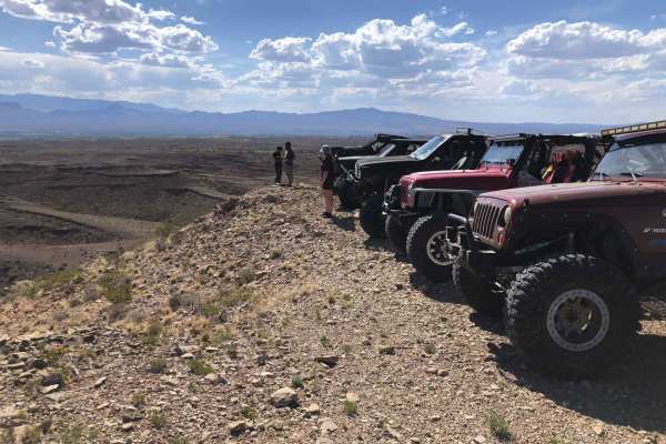
Coyote Exit
Coyote Exit begins just off the Quebradas Backcountry Byway, works its way around the Cerillos de Coyote plateaus, and culminates into a panorama overlook of the surrounding mountain ranges. This includes the Sierra de la Campana, Fra Cristobal, Chupadera, San Mateo, Magdalena, and Sierra Ladrones M...
Learn more about Coyote Exit
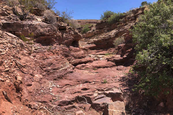
Coyote Hills
Coyote Hills is one of the area’s longer, more iconic hard trails, packed with a variety of obstacles that keep drivers engaged from start to finish. True to its name, the trail features multiple large “waterfall” ledges scattered along the climb, each offering its own unique challenge. The trail wa...
Learn more about Coyote Hills
ATV trails near Las Nutrias, New Mexico
Explore ATV-friendly trails near you. These trails are accessible for vehicles up to 50 inches wide, perfect for ATVs and smaller off-road machines.
Riley CR 12
This is a wide-open sky drive that starts on the northwest side of the Sevilleta Wildlife Refuge. It winds around the striking Ladron (Thieves) Mountain. There are a few scattered ranches but most of the area is owned by the federal Bureau of Land Management that borders the Wildlife Refuge. The Lad...
Learn more about Riley CR 12
Powerline Pass
A nice trail for beginners wanting a fun challenge. This trail is packed with rocks, washed-out roads and a few steep inclines to keep you on your toes. Go with a buddy due to a large amount of sharp rocks and cactus. While on the trail you'll have sights of huge open fields and desert, surrounded b...
Learn more about Powerline Pass
Windmill
This is a spur trail off Riley CR 12. It winds around some small hills and ends at a picturesque windmill, watering tank, and building ruins. The majestic Ladron mountains create the backdrop. Locals target shoot in this area so listen for shooting before venturing onto this trail.
Learn more about Windmill
San Lorenzo Canyon
San Lorenzo Canyon is a series of rock formations and canyons on the southern border of Servilleta Wildlife Refuge. This area features numerous hiking and camping opportunities in a unique landscape not far from Albuquerque. It's a favorite day trip for locals, and you will often find others here hi...
Learn more about San Lorenzo Canyon
UTV/side-by-side trails near Las Nutrias, New Mexico
Find UTV and side-by-side trails near you. These trails accommodate vehicles up to 60 inches wide, ideal for UTVs, side-by-sides, and wider off-road rigs.
Riley CR 12
This is a wide-open sky drive that starts on the northwest side of the Sevilleta Wildlife Refuge. It winds around the striking Ladron (Thieves) Mountain. There are a few scattered ranches but most of the area is owned by the federal Bureau of Land Management that borders the Wildlife Refuge. The Lad...
Learn more about Riley CR 12
Windmill
This is a spur trail off Riley CR 12. It winds around some small hills and ends at a picturesque windmill, watering tank, and building ruins. The majestic Ladron mountains create the backdrop. Locals target shoot in this area so listen for shooting before venturing onto this trail.
Learn more about Windmill
San Lorenzo Canyon
San Lorenzo Canyon is a series of rock formations and canyons on the southern border of Servilleta Wildlife Refuge. This area features numerous hiking and camping opportunities in a unique landscape not far from Albuquerque. It's a favorite day trip for locals, and you will often find others here hi...
Learn more about San Lorenzo Canyon
FS 422 Priest Canyon
This route travels through the southern tip of the Manzano Mountains and connects the village of Manzano on State Highway 131 with State Highway 60. It travels along a right-of-way through private property on both ends before entering the Cibola Forest. The trail can be dusty and has a few low water...
Learn more about FS 422 Priest Canyon
The onX Offroad Difference
onX Offroad combines trail photos, descriptions, difficulty ratings, width restrictions, seasonality, and more in a user-friendly interface. Available on all devices, with offline access and full compatibility with CarPlay and Android Auto. Discover what you're missing today!
Open Trail Map