
Dirt Bike Trails
Near John Sevier, Tennessee
Explore All Dirt Bike Trails Near John Sevier, Tennessee
Dirt Bike Trails Near John Sevier, Tennessee
Discover the best dirt bike trails near you. Browse trail maps, check difficulty ratings, and find your next adventure — whether you're looking for a quick ride or an all-day expedition.
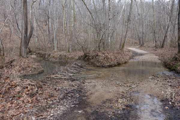
Lost Creek & Clear Creek
This route provides a bit more challenge and adrenaline than the majority of the roads in Chuck Swan WMA, but still keeps it well within the capabilities of most stock and slightly modified 4x4s. Along Clear Creek Rd. there are three water crossings that vary greatly depending on recent rains. All t...
Learn more about Lost Creek & Clear Creek
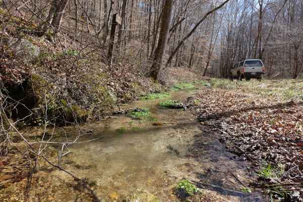
Big Loop & Big Springs
This loop gives you a bit of everything there is to see in Chuck Swan WMA. This route is slightly rougher than Main Forest Rd, but still passable by capable 2WD vehicles except during the wettest times of the year. You'll have opportunities to see natural springs just off of the road, visit some old...
Learn more about Big Loop & Big Springs
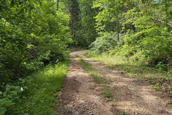
Crumely Loop
Crumely Loop is a mellow 2.6-mile forest road tucked into the heart of Chuck Swan State Forest. Like all the roads here, it's an active logging route, so keep an eye out for trucks and yield when needed. Several old roads branch off along the way, but most are closed to motorized vehicles; just foll...
Learn more about Crumely Loop
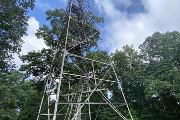
Main Forest Road
Main Forest Road offers an easy, highly scenic 13.2-mile cruise through Chuck Swan State Forest that is perfect for beginners, families, and anyone looking to enjoy a relaxing drive with gorgeous lake views and deep historical significance. This unpaved route serves as the primary artery of the fore...
Learn more about Main Forest Road
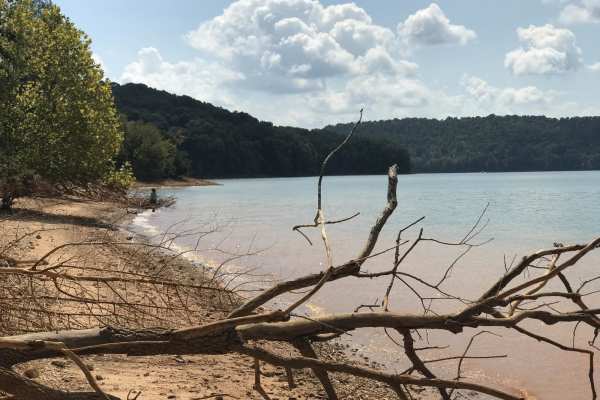
Mossy Springs
This route traverses from the southern portions of Chuck Swan WMA to one of the more remote areas on the northern border. Along this route you'll find some easy but fun roads, a natural freshwater spring, and if you time your visit right ample opportunities to pick fresh blackberries. In the summer ...
Learn more about Mossy Springs
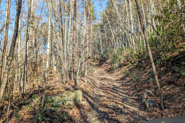
Walden's Ridge Bypass Trail 75a
This trail runs right next to Walden's Ridge and only bypasses the ridge portion of the whole trail. It does meet up with 75 (Walden's Ridge) and ends at 75. This trail has small to medium rocks to climb, winds in and out of trees, and up and down the hillside. Quite often the vehicle is leaning sid...
Learn more about Walden's Ridge Bypass Trail 75a
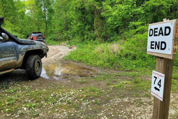
74 - Middle Ridge
Trail 74 - Middle Ridge winds through to complete Trail G67 to exit you out of the park or bring you in for an adventure from HWY 116. This easy "Blue" trail, as Windrock Park identifies it, is spot on, as washouts and ruts could cause problems for those with low ground clearance but is no harder th...
Learn more about 74 - Middle Ridge
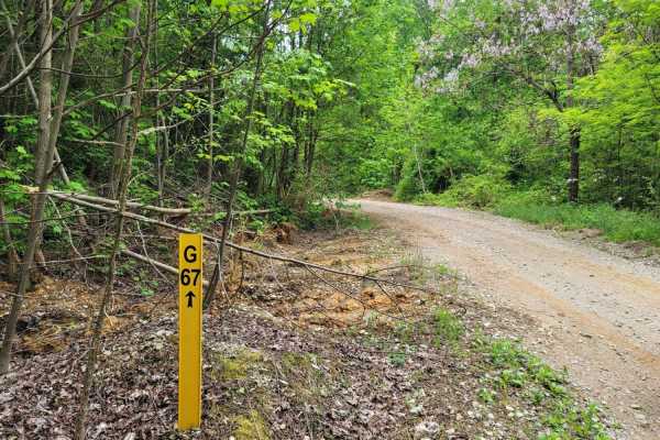
G67 - Brown Flats
Easy traveling is G67. This trail is the epitome of a stroll in the park with its smooth gravel roads with intermittent mud puddles to make the most basic rides feel like a scenic adventure. There may be some standing water that is scarier than it looks, boasting width, but is majorly lacking in dep...
Learn more about G67 - Brown Flats
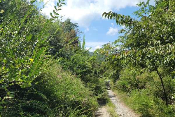
G31 - Pinstripe Alley
Trail G31 - Pinstripe Alley almost explains itself. If you are worried about your paint, this would not be a good trail to take. The spring time brings extra growth with the vegetation gravitating to water. It is full of thorns, thistles and bushes. While the hedges can be a deterrent, it does allow...
Learn more about G31 - Pinstripe Alley
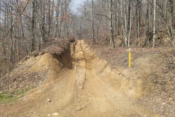
52 - Cold Gap Shortcut
Trail 52 is a more direct route to the Cold Gap Waterfall from easier green trails such as G50 and G53 to G52. This small section still provides some small technical challenges as Windrock Park considers it an easy "blue" trail, but it prevents the longer route through Trail 53. Expect loose rock wi...
Learn more about 52 - Cold Gap Shortcut
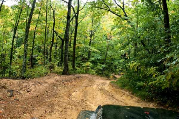
Windrock Trail 51
Trail 51 is one of the Jeep Badge of Honor trails located at Windrock Park in Oliver Springs TN. This trail has some large rocks and off-camber spots, some ruts and a steep incline. There is one large climb at the beginning, as well as some large mud holes. It is a beautiful trail.
Learn more about Windrock Trail 51
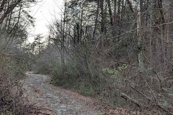
G54
This is the beginning of the recommended route to the Caryville Flats (G54, 62,66). All trails have moderate washouts and ledges. and rocks. It's a nice drive with a few spots for scenic views. The view of Caryville lit up at night is fun to see. We have also seen the elk herd running around late at...
Learn more about G54
59 - Grassy Gap
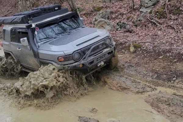
Trail 59 (Grassy Gap) is a scenic, 0.7-mile off-road connector in Windrock Park. Rated a 3 out of 10, this easy-level blue trail features a mild 135-foot elevation gain, making it highly accessible to stock high-clearance 4x4s, side-by-sides, and OHVs.
The unpaved dirt and rock surface features sev...
Learn more about 59 - Grassy Gap
89 - Little Braden Flat
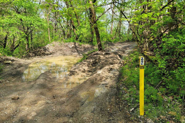
Trail 89 - Little Braden Flat is a shortcut over a trail that connects G50 to G66 or the more famous Trail 51 - Panther Rock. While this trail is short at barely a half mile, it still has a few short drop-offs, a place to play in the mud, and a nice canopy of trees to find shade in the hot summer m...
Learn more about 89 - Little Braden Flat
50
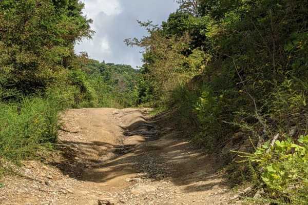
This trail is a mild trail. Dirt or rocky base. Driver may encounter shallow water crossings and obstacles under 12". The trail is generally wide enough for one vehicle and narrows in a few places. This trail doesn't have much change in elevation. It's a great trail for someone looking to get off th...
Learn more about 50
11- Pilot Mountain
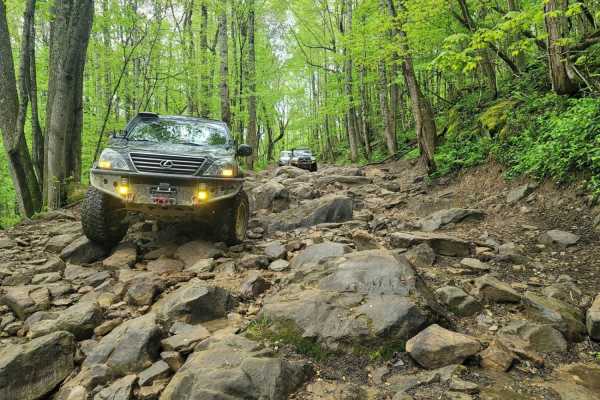
This trail favorite displays what Windrock park is, was, and will be. Trail 11 encompasses Pilot mountain along with all of its wildlife, mini waterfalls, and great riding. It starts at the north end of G1 where it intersects Hwy 116 which is great for those that want to get to the trail as fast fro...
Learn more about 11- Pilot Mountain
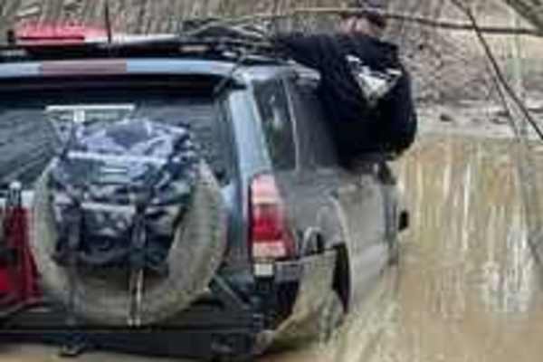
64 - Patrick's Pond
Bring your bathing suit! Trail 64 is one that can be very misleading by reading the park map. On paper, this is labeled as a blue trail at moderate difficulty, but upon entrance at the trailhead from the southwest end, the signs say otherwise. It starts with a double hill climb, both with very loose...
Learn more about 64 - Patrick's Pond
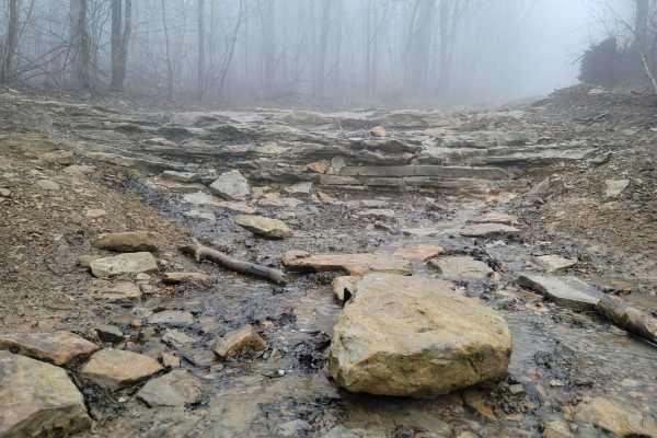
60 - Bridge Branch
Trail 60 - Bridge Branch is a great moderate difficulty "blue" trail according to the park map. This trail features a little bit of everything an offroader looks for in a trail - rock ledges, mud holes, constant obstacles, and a lengthy ride. The soil consists of a silty composition so the mud does...
Learn more about 60 - Bridge Branch
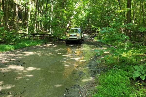
73 - Harness Creek
Trail 73 - Harness Creek begins at the end of Trail G31. This easy blue trail according to the Windrock Park map is a short, shady section that will cool you off on a hot summer day. Much of the creek can overflow and make this trail resemble riding a creek bed. One small section will have a short s...
Learn more about 73 - Harness Creek
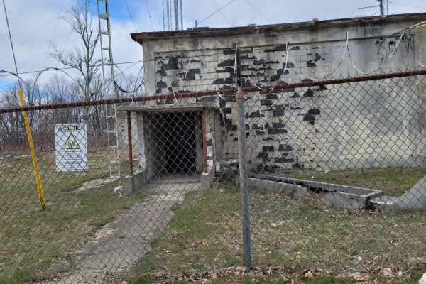
G53 - Radar Base
Trail G53 - Radar Base is a great spot to bring the kids and adults alike for the "Ooohs and Ahhhs". While this trail won't bring you into an off camber frenzy, it will make up for it in old structures and history. This trail is gravel from the pavement at Slatestone road to the base, it does featur...
Learn more about G53 - Radar Base
ATV trails near John Sevier, Tennessee
Explore ATV-friendly trails near you. These trails are accessible for vehicles up to 50 inches wide, perfect for ATVs and smaller off-road machines.
Lost Creek & Clear Creek
This route provides a bit more challenge and adrenaline than the majority of the roads in Chuck Swan WMA, but still keeps it well within the capabilities of most stock and slightly modified 4x4s. Along Clear Creek Rd. there are three water crossings that vary greatly depending on recent rains. All t...
Learn more about Lost Creek & Clear Creek
Big Loop & Big Springs
This loop gives you a bit of everything there is to see in Chuck Swan WMA. This route is slightly rougher than Main Forest Rd, but still passable by capable 2WD vehicles except during the wettest times of the year. You'll have opportunities to see natural springs just off of the road, visit some old...
Learn more about Big Loop & Big Springs
Crumely Loop
Crumely Loop is a mellow 2.6-mile forest road tucked into the heart of Chuck Swan State Forest. Like all the roads here, it's an active logging route, so keep an eye out for trucks and yield when needed. Several old roads branch off along the way, but most are closed to motorized vehicles; just foll...
Learn more about Crumely Loop
Main Forest Road
Main Forest Road offers an easy, highly scenic 13.2-mile cruise through Chuck Swan State Forest that is perfect for beginners, families, and anyone looking to enjoy a relaxing drive with gorgeous lake views and deep historical significance. This unpaved route serves as the primary artery of the fore...
Learn more about Main Forest Road
UTV/side-by-side trails near John Sevier, Tennessee
Find UTV and side-by-side trails near you. These trails accommodate vehicles up to 60 inches wide, ideal for UTVs, side-by-sides, and wider off-road rigs.
Crumely Loop
Crumely Loop is a mellow 2.6-mile forest road tucked into the heart of Chuck Swan State Forest. Like all the roads here, it's an active logging route, so keep an eye out for trucks and yield when needed. Several old roads branch off along the way, but most are closed to motorized vehicles; just foll...
Learn more about Crumely Loop
Walden's Ridge Bypass Trail 75a
This trail runs right next to Walden's Ridge and only bypasses the ridge portion of the whole trail. It does meet up with 75 (Walden's Ridge) and ends at 75. This trail has small to medium rocks to climb, winds in and out of trees, and up and down the hillside. Quite often the vehicle is leaning sid...
Learn more about Walden's Ridge Bypass Trail 75a
74 - Middle Ridge
Trail 74 - Middle Ridge winds through to complete Trail G67 to exit you out of the park or bring you in for an adventure from HWY 116. This easy "Blue" trail, as Windrock Park identifies it, is spot on, as washouts and ruts could cause problems for those with low ground clearance but is no harder th...
Learn more about 74 - Middle Ridge
G67 - Brown Flats
Easy traveling is G67. This trail is the epitome of a stroll in the park with its smooth gravel roads with intermittent mud puddles to make the most basic rides feel like a scenic adventure. There may be some standing water that is scarier than it looks, boasting width, but is majorly lacking in dep...
Learn more about G67 - Brown Flats
The onX Offroad Difference
onX Offroad combines trail photos, descriptions, difficulty ratings, width restrictions, seasonality, and more in a user-friendly interface. Available on all devices, with offline access and full compatibility with CarPlay and Android Auto. Discover what you're missing today!
Open Trail Map