
Dirt Bike Trails
Near Iaeger, West Virginia
Explore All Dirt Bike Trails Near Iaeger, West Virginia
Dirt Bike Trails Near Iaeger, West Virginia
Discover the best dirt bike trails near you. Browse trail maps, check difficulty ratings, and find your next adventure — whether you're looking for a quick ride or an all-day expedition.

Folsom Hill
Folsom Hill is a rugged, highly technical trail designed for riders who love a good mechanical and driving challenge. Tucked deep within the dense forest canopy of the Appalachian Mountains, this trail trades smooth riding for raw, unyielding terrain that requires careful tire placement and excellen...
Learn more about Folsom Hill

The Rocket Boys Trail
The trail kicks off under heavy, lush forest canopy along packed dirt trails that follow the natural valley terrain. This section is known for having several large, permanent mud puddles and deep water wallows stretching across the width of the trail. Momentum and proper tire placement are key here ...
Learn more about The Rocket Boys Trail
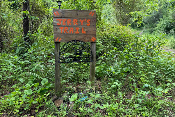
Jerry's Trail
Jerry’s Trail offers off-road riders a classic, deep-woods West Virginia backcountry experience. Marked at its trailhead by a memorable wooden memorial sign dedicated to Jerry ("In Loving Memory of Dad"), the route largely consists of an unpaved, old logging-style mountain road. Riders will navigate...
Learn more about Jerry's Trail
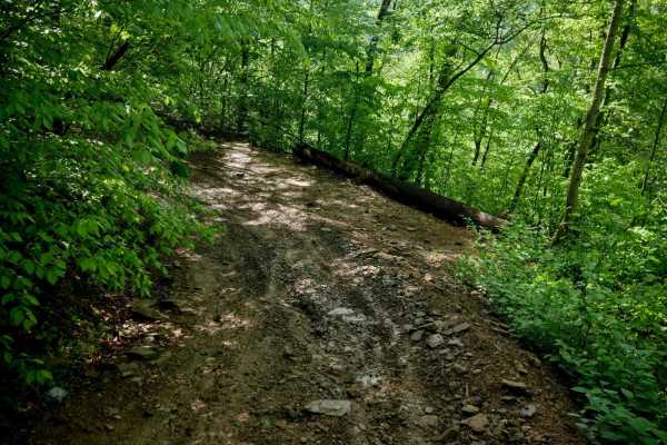
RH 80
RH 80 is a short, intermediate-level connector trail less than half a mile long. From north to south, it begins as a narrow, shelfy path before transitioning into a steep, rutted climb scattered with loose rock. While not overly rocky, the incline makes it moderately challenging, especially in wet c...
Learn more about RH 80
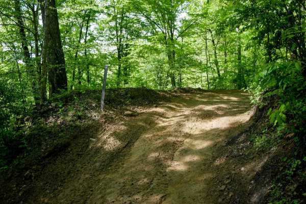
RH 46
RH 46 is a very easy 0.9-mile trail that offers a smooth alternative to RH 12 when heading toward Gilbert or the Twin Hollow Campground. It winds gently along the mountainside shelf through a shady, lush forest. While mostly gradual, there are a few slightly steeper sections, but the trail remains b...
Learn more about RH 46
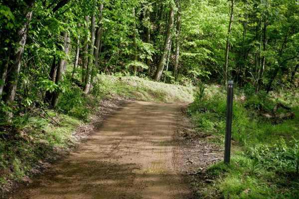
RH 44
RH 44 is a short, easy connector trail located in the southern segment of the Rock House system near Twin Hollow Campground. The trail features a shelfy layout with a mix of wide and narrow sections, more pronounced ruts than nearby routes, and a few steeper climbing spots that lead into gradual swi...
Learn more about RH 44
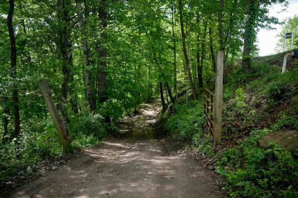
RH 3
RH 3 is a short, flat, and easy connector trail that begins at the tunnel on RH 12 and enters the Twin Hollow Campground. The trail is smooth with no obstacles, making it accessible for all riders. Due to its location, riders should maintain a slow speed, minimize dust, and watch for campground traf...
Learn more about RH 3
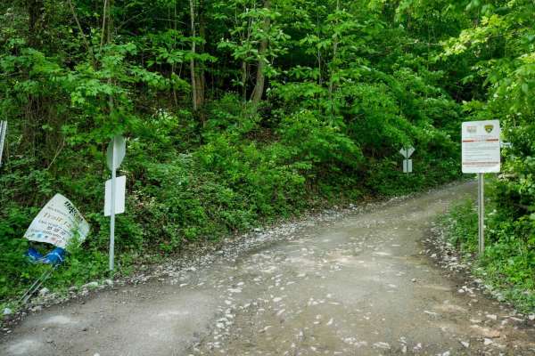
RH 12
RH 12 is a 2.6-mile easy trail that begins south of Tamcliff off Slabtown Road and travels south to Gilbert. The north end features some loose rock and off-camber ruts but quickly transitions into a gradual, shelfy trail with wide switchbacks and mud puddles, traversing lush forest on a one-lane pat...
Learn more about RH 12
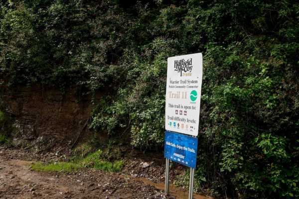
W11
Trail W11 begins on Stadium Drive just south of Welch, West Virginia, with no designated parking at the northern access point. The trail climbs steeply from the pavement via several wide, rutted switchbacks with loose rock; momentum is key on the steep grade. Though the surface is somewhat rutted, t...
Learn more about W11
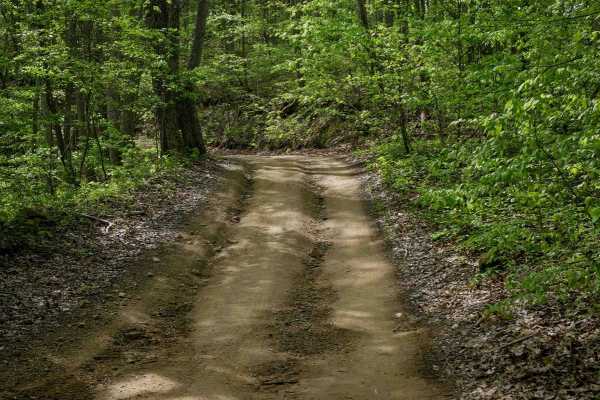
W44
Trail W44 is a wide, well-maintained route that runs 3.7 miles along the mountainside with a smooth, gradual descent from south to north. The trail features minor embedded rocks, gentle hairpin turns, and follows a ridge line for part of its length. It is an easy traverse suitable for all skill leve...
Learn more about W44
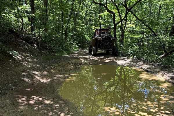
Mountain Fork
Mountain Fork in West Virginia is a demanding side-by-side trail that features rocky ledges, muddy stretches, and multiple water crossings. It's rugged terrain throughout, challenging both skill and equipment. Expect constantly changing conditions and obstacles that keep you on your toes from start ...
Learn more about Mountain Fork
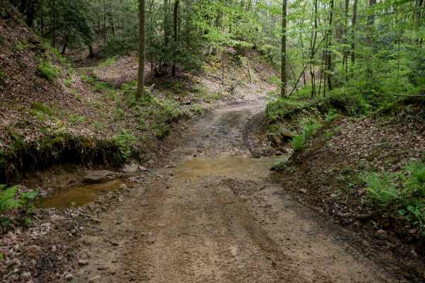
W32
Trail W32 is an easy, scenic route that begins at its north end with a narrow, shelf-like path along the mountainside, passing mossy rock cliffs and dense forest. It gradually descends to the forest floor, meeting Trail W71, before climbing back out. South of that intersection, the trail becomes wid...
Learn more about W32
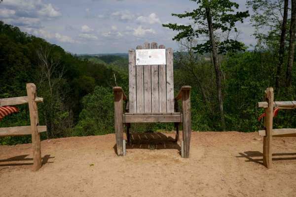
W29
Trail W29 is a 3.3-mile easy trail with shelf sections, smooth terrain, and occasional mud puddles and ruts. The route offers scenic views through the trees along the mountainside and includes wide corners, though drivers should remain alert for oncoming traffic. After climbing up the first mile, it...
Learn more about W29
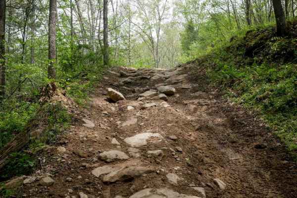
W58
Trail W58 forms a 3.4-mile intermediate loop off Trail W16, offering a rugged and scenic ride through forested hillsides. The trail features rockier climbs with loose rock over loamy soil, ruts, and large embedded flat boulders. Slick conditions are common, especially on steep sections and stretches...
Learn more about W58
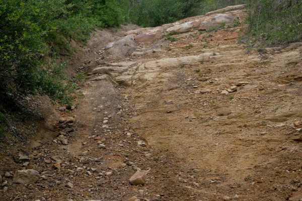
W97
Trail W97 is a highly technical route that begins with a steep, rutted climb from Trail W16 before crossing under powerlines and transitioning into a sustained, very advanced descent. The trail narrows significantly and appears less traveled, with grass growing in the center. The descent features mu...
Learn more about W97
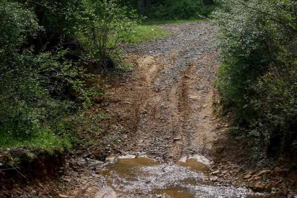
W71
Trail W71 is a 1.6-mile connector that climbs steeply from north to south, offering a more technical ride suited for experienced users. Starting with a small stream crossing, the trail dips briefly before entering a dense beech forest, paralleling a ravine with potential water on the trail. The narr...
Learn more about W71
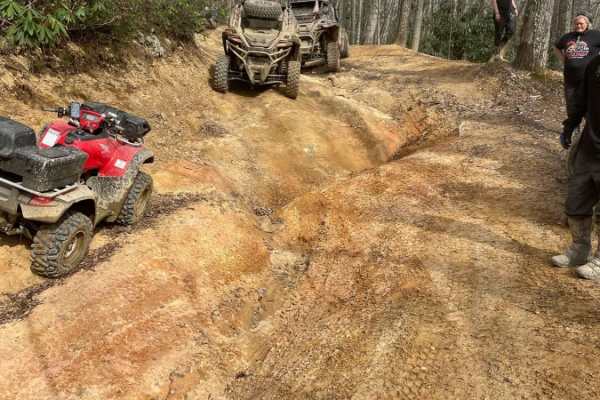
Belcher Ridge Run
Belcher Ridge Run is a thrilling 30-mile journey designed for intermediate to advanced offroaders seeking a diverse mix of challenging terrain, scenic high-ridge vistas, and local Appalachian culture. This point-to-point route, which ranges in elevation from 1,458 to 2,845 feet, features over 4,000 ...
Learn more about Belcher Ridge Run
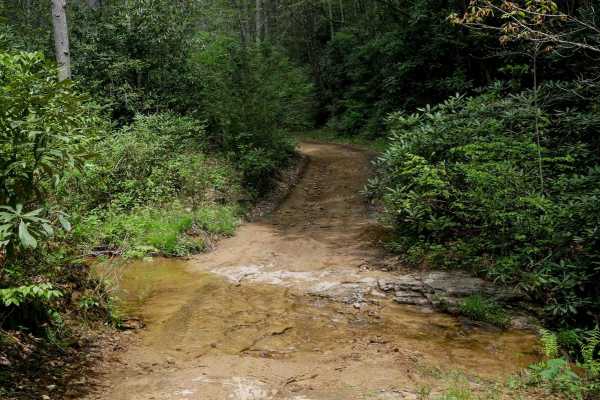
W31
Trail W31 is a 1.3-mile, easy route that begins at its southern junction with Trail W21 on the forest floor. It starts with a small stream crossing and follows the stream and ravine before gradually climbing up on a shelf-like path. The trail features smooth terrain with minimal rock, shaded by fore...
Learn more about W31
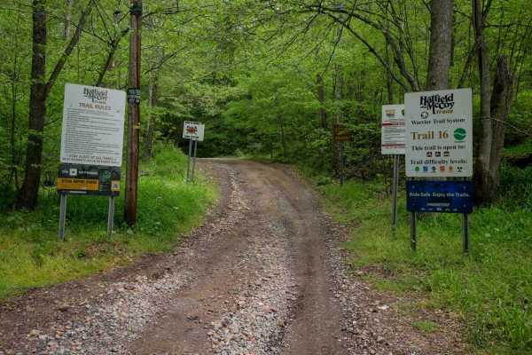
W16
Trail W16 is a 4.2-mile primary access route starting at the town of War, with a half-mile segment of pavement through a neighborhood before the official start of the trail. It begins wide through open hillsides and transitions into forested terrain, running shelf-like along a ravine at the base of ...
Learn more about W16
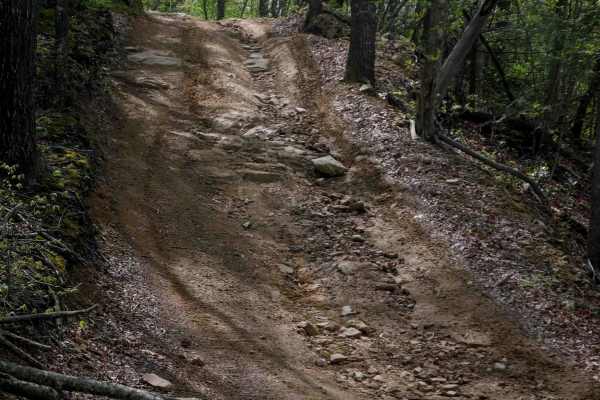
W54
Trail W54 is a 1.2-mile route descending from south to north with a mix of gradual and steeper sections. The trail features embedded rock, loose surface material, and occasional slickrock layers, creating a chunkier, moderately technical ride. Short rock shelves under a foot tall and larger rocks fi...
Learn more about W54
ATV trails near Iaeger, West Virginia
Explore ATV-friendly trails near you. These trails are accessible for vehicles up to 50 inches wide, perfect for ATVs and smaller off-road machines.
Folsom Hill
Folsom Hill is a rugged, highly technical trail designed for riders who love a good mechanical and driving challenge. Tucked deep within the dense forest canopy of the Appalachian Mountains, this trail trades smooth riding for raw, unyielding terrain that requires careful tire placement and excellen...
Learn more about Folsom Hill
The Rocket Boys Trail
The trail kicks off under heavy, lush forest canopy along packed dirt trails that follow the natural valley terrain. This section is known for having several large, permanent mud puddles and deep water wallows stretching across the width of the trail. Momentum and proper tire placement are key here ...
Learn more about The Rocket Boys Trail
Jerry's Trail
Jerry’s Trail offers off-road riders a classic, deep-woods West Virginia backcountry experience. Marked at its trailhead by a memorable wooden memorial sign dedicated to Jerry ("In Loving Memory of Dad"), the route largely consists of an unpaved, old logging-style mountain road. Riders will navigate...
Learn more about Jerry's Trail
RH 80
RH 80 is a short, intermediate-level connector trail less than half a mile long. From north to south, it begins as a narrow, shelfy path before transitioning into a steep, rutted climb scattered with loose rock. While not overly rocky, the incline makes it moderately challenging, especially in wet c...
Learn more about RH 80
UTV/side-by-side trails near Iaeger, West Virginia
Find UTV and side-by-side trails near you. These trails accommodate vehicles up to 60 inches wide, ideal for UTVs, side-by-sides, and wider off-road rigs.
Folsom Hill
Folsom Hill is a rugged, highly technical trail designed for riders who love a good mechanical and driving challenge. Tucked deep within the dense forest canopy of the Appalachian Mountains, this trail trades smooth riding for raw, unyielding terrain that requires careful tire placement and excellen...
Learn more about Folsom Hill
The Rocket Boys Trail
The trail kicks off under heavy, lush forest canopy along packed dirt trails that follow the natural valley terrain. This section is known for having several large, permanent mud puddles and deep water wallows stretching across the width of the trail. Momentum and proper tire placement are key here ...
Learn more about The Rocket Boys Trail
Jerry's Trail
Jerry’s Trail offers off-road riders a classic, deep-woods West Virginia backcountry experience. Marked at its trailhead by a memorable wooden memorial sign dedicated to Jerry ("In Loving Memory of Dad"), the route largely consists of an unpaved, old logging-style mountain road. Riders will navigate...
Learn more about Jerry's Trail
RH 80
RH 80 is a short, intermediate-level connector trail less than half a mile long. From north to south, it begins as a narrow, shelfy path before transitioning into a steep, rutted climb scattered with loose rock. While not overly rocky, the incline makes it moderately challenging, especially in wet c...
Learn more about RH 80
The onX Offroad Difference
onX Offroad combines trail photos, descriptions, difficulty ratings, width restrictions, seasonality, and more in a user-friendly interface. Available on all devices, with offline access and full compatibility with CarPlay and Android Auto. Discover what you're missing today!
Open Trail Map