RH 12

Total Miles2.4
Technical Rating
2Easy
Best TimeFall, Spring, Summer, Winter
Trail Type60" Trail
Accessible By
Open Trail Map

Trail Overview

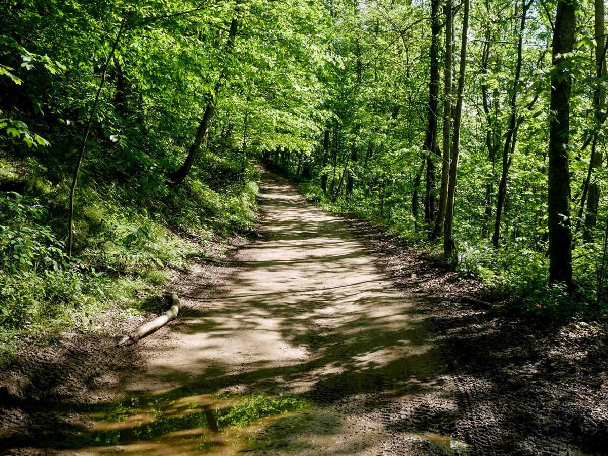
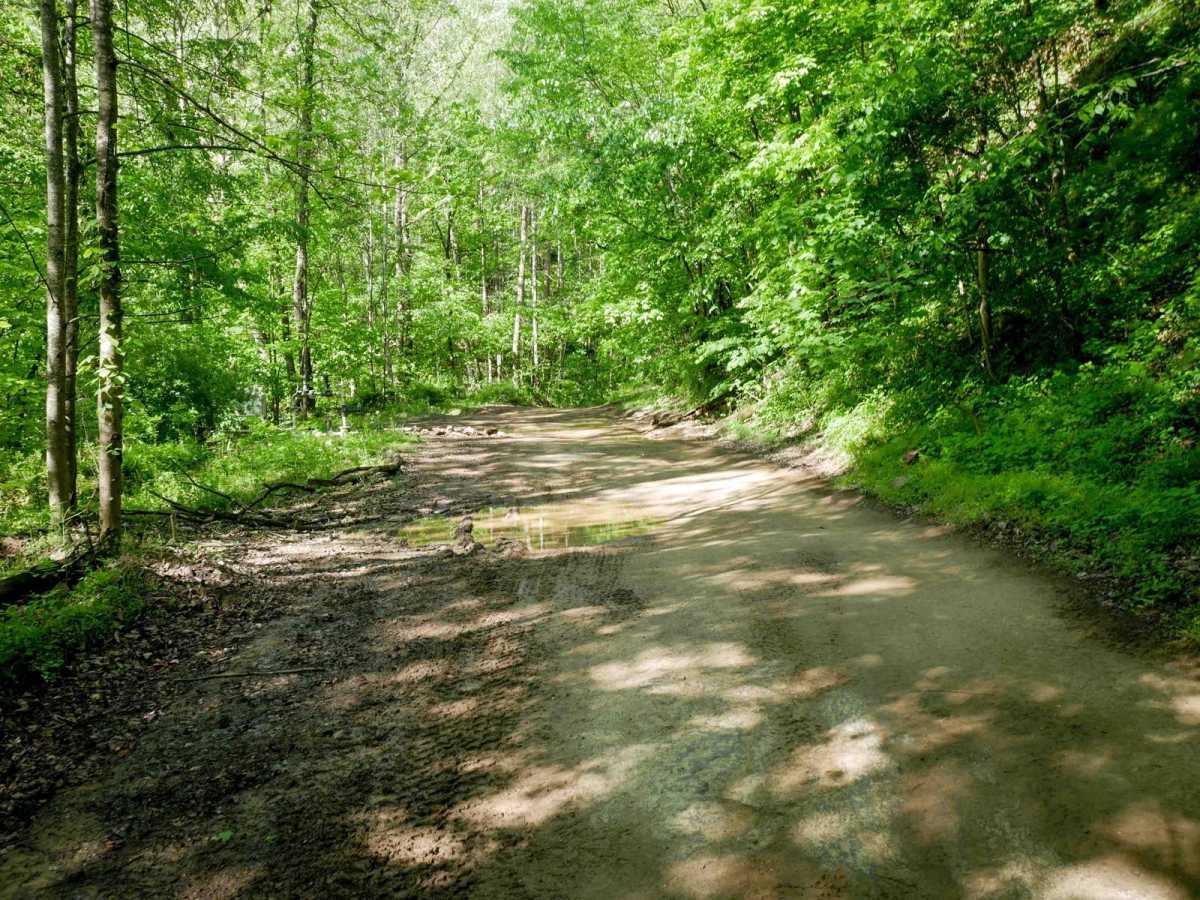
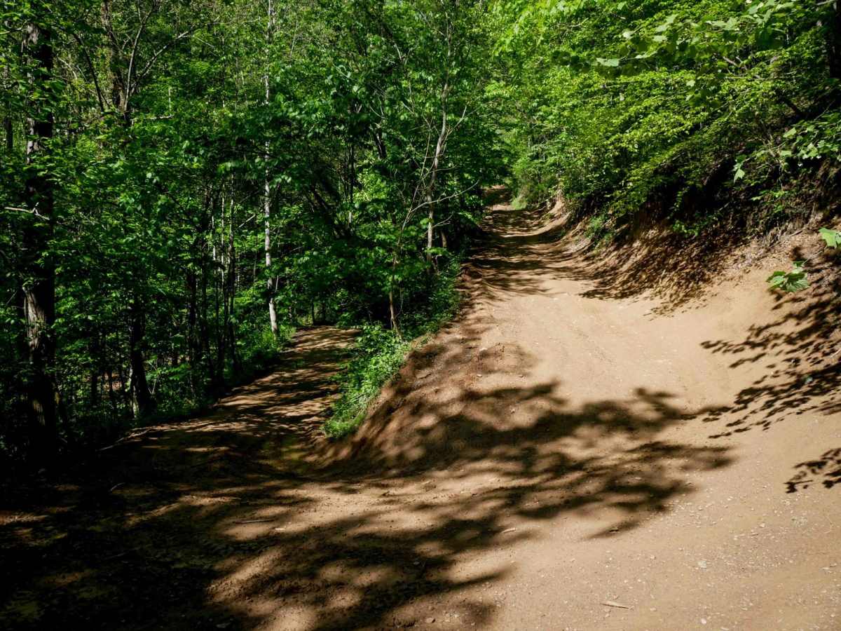
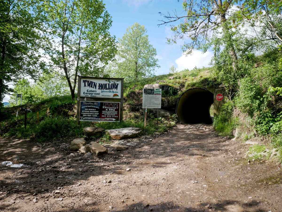
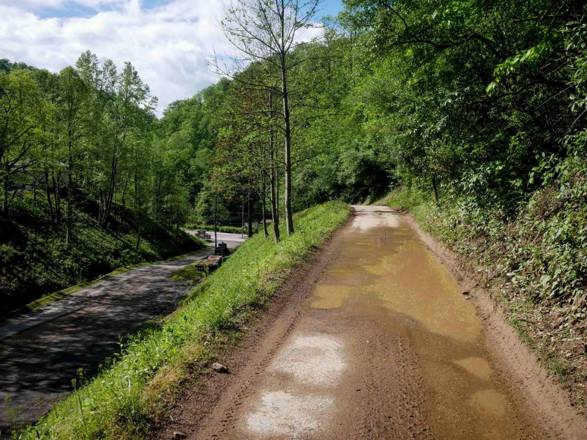
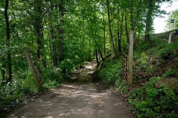
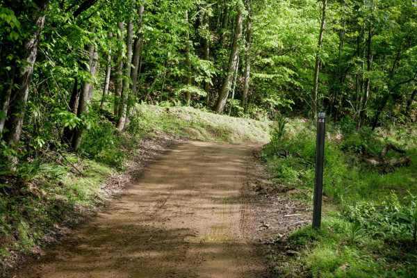
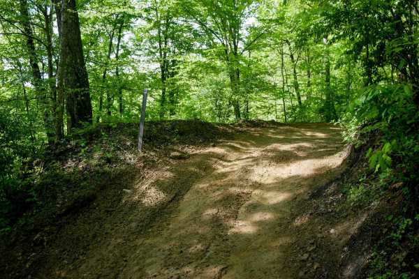
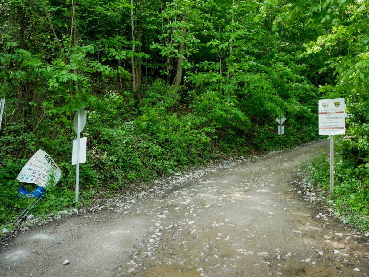
RH 12 is a 2.6-mile easy trail that begins south of Tamcliff off Slabtown Road and travels south to Gilbert. The north end features some loose rock and off-camber ruts but quickly transitions into a gradual, shelfy trail with wide switchbacks and mud puddles, traversing lush forest on a one-lane path. It passes through a tunnel into the Twin Hollow Campground with a short section of pavement near the resort. The south end ends at Highway 52 in Gilbert, providing direct access to food and lodging. The north end connects via Route 80 to Trail 15 for access into the Rockhouse system.

Photos of RH 12

Difficulty

This is an easy SxS route with minimal features, ideal for all skill levels.

Technical Rating

2

RH 12 Trail can be accessed by the following ride types:

  • Single Track
  • 50 Inch
  • 60 Inch

RH 12 Map

The onX Offroad Difference

onX Offroad combines trail photos, descriptions, difficulty ratings, width restrictions, seasonality, and more in a user-friendly interface. Available on all devices, with offline access and full compatibility with CarPlay and Android Auto. Discover what you're missing today!

Open Trail Map