
Dirt Bike Trails
Near Heron, Montana
Explore All Dirt Bike Trails Near Heron, Montana
Dirt Bike Trails Near Heron, Montana
Discover the best dirt bike trails near you. Browse trail maps, check difficulty ratings, and find your next adventure — whether you're looking for a quick ride or an all-day expedition.
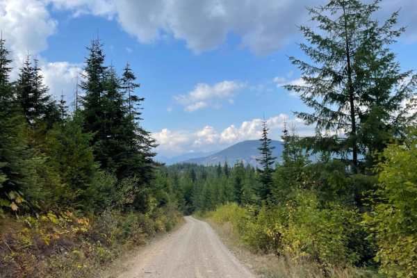
Twin Creek
This mostly graded gravel road runs from the tarmac to the Twin Creek hiking and single-track ATV trail. Although no trailhead sign states it's a single track, motorcycle tracks are evident on the trail. Overall the route is nice and smooth, with potholes that appear out of nowhere. There's a steepe...
Learn more about Twin Creek
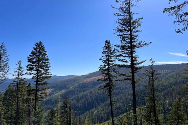
West Fork Pilgrim Creek
This generally easy trail heads back up to the ridges and deeper into the forest. It's mostly easy with a few larger potholes, and tight switchback turns. The only camping noticed was alongside the road in pullouts, but some of the spots had amazing views. It's a nice easy trail to get to elevation ...
Learn more about West Fork Pilgrim Creek
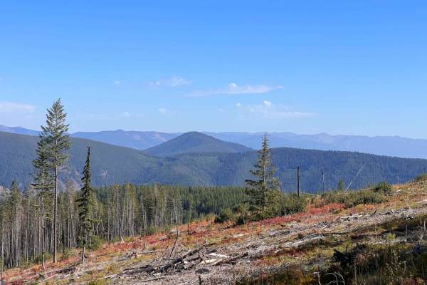
Lone Cliff Cutover
This easy ridge trail cuts across the top of the hills with amazing views of the Clark Fork valley and the Cabinet mountains. There is also access to the Skeleton Creek hiking trail from both ends. There are some decent-sized pullouts to dispersed camps and one outstanding one right in a forestry cl...
Learn more about Lone Cliff Cutover
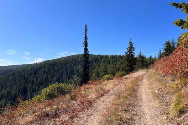
Huckleberry Mountain
This fun trail ducks and dives, bobs, and weaves its way around the hillsides. There are a few rutted areas. Some narrow sections with tall grass and a few loose hill climbs. Overall it's pretty narrow without many good spots to allow oncoming to pass. Other than some of the fantastic vistas, the hi...
Learn more about Huckleberry Mountain
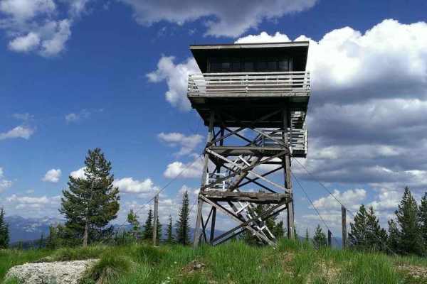
Gem Peak
This narrow, steep run to the top is rutted and rocky with a few loose climbs. There are excellent views, and if you're lucky, the lookout rental cabin road will be open for you to get the whole way to the top. If not, you should respect the privacy of those who rented the lookout cabin. There is on...
Learn more about Gem Peak
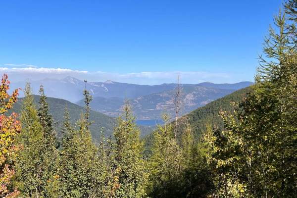
Stevens Ridge
This well-graded ridge run is a perfect ride up or down from the mountain above to the primary graded trails below. There are ample pull-offs, a few tight switchbacks, and hardly any potholes to impede one's progress. The views of the Clark Fork river are spectacular, especially on the way down. No ...
Learn more about Stevens Ridge
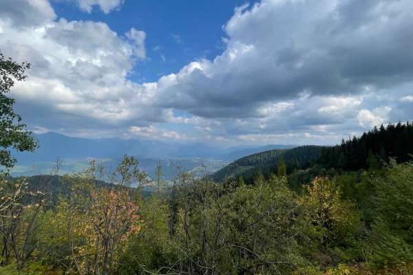
Ruen Run
This connector trail links the upper ridge trail network to the trails below. There are plenty of tight turns and switchbacks. The occasional offshoot leads to a locked gate or a decent place to dispersed camp. The route can be rutted heavily in some sections, massive potholes full of mud in others,...
Learn more about Ruen Run

Pilgrim Creek Trail
This route is a split difficulty trail, with the section from the warming hut to the top being a solid level 4 difficulty and the section from the warming hut to the bottom mostly a 3. The upper, more difficult section has a narrow rocky shelf portion with a treacherous fall to the bottom if one isn...
Learn more about Pilgrim Creek Trail
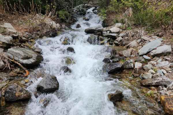
South Fork Bull River
South Fork Bull River or NF 410 is an easy, moderately graded Forrest Service road that climbs Snake Creek to the crest and descends down the South Fork Bull River. The roadway has recently been graded, though there is some encroachment from trees and brush from the sides. You will pass the Trailhea...
Learn more about South Fork Bull River
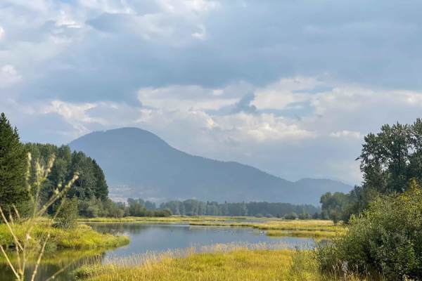
Johnson/Lakeview
This long slog runs from the valley below up the grade into the mountains. There are great views around many corners of the surrounding hills and the Clark Fork River. It leads up over plenty of large ruts and violent washboard as it twists its way along. At the summit, there are many options of dir...
Learn more about Johnson/Lakeview
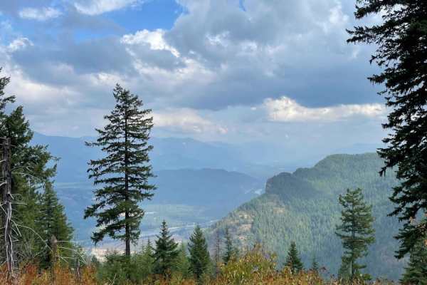
Derr Point
This narrow, bumpy out and back trail heads into the hills and gets narrower and narrower the further you go. There aren't a lot of spots to camp, but there are plenty of opportunities to scratch your paint. The trail ends at an unimpressive campsite, but if you are looking for a remote spot with a ...
Learn more about Derr Point
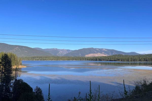
Stevens Creek Road
This well-groomed trail generally follows the powerlines from the dam all the way to the Marten Creek campground. As it twists its way around, you will get amazing views of the lake and hillsides. Some offshoots may lead to dispersed camping spots, but the campground, complete with pit toilets, is t...
Learn more about Stevens Creek Road
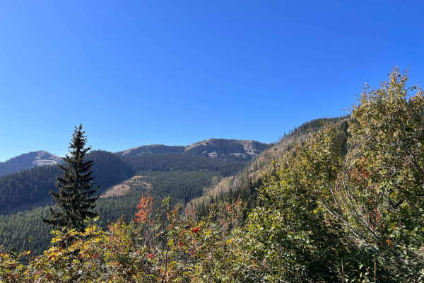
North Branch of Martin Creek
This easy climb gradually heads into the hills. It's pretty wooded, and the forest is dense in some spots. There's a slight break in the trees here and there to get a glimpse of a view. The trail is mostly easy, with some ruts, loose sections, and more significant dips at the erosion stoppers. It's ...
Learn more about North Branch of Martin Creek
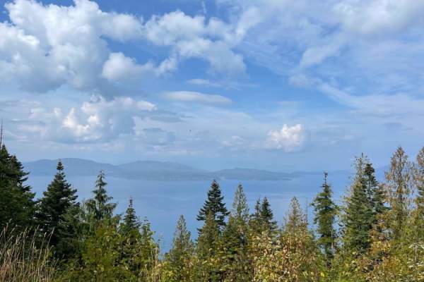
Johnson's Vista Trail
This narrow trail spurs off the main road and twists and turns its way to the cliff's edge. There are some rocky sections and quite a few rutted-out sections. Here and there are small pullouts one could camp at right along the route. There are only a few brief sections where the vista is visible;if ...
Learn more about Johnson's Vista Trail

Devil Peak
Devils is a short single track in the CDA National Forest that is a spur off of Independence Creek trail. Riding south to north, the trail is a steady side-hill ascent from Independence Creek to Spruce Ridge Road. The trail side-hills the entire way. The beginning and ending have extreme ledge expos...
Learn more about Devil Peak
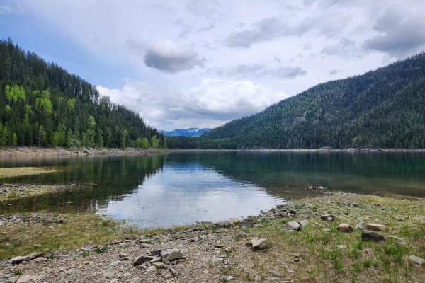
Spar Lake Road
Spar Lake Road or FS #384 is a moderately easy rock and gravel route with moderate climbs and rough surface conditions. The route has moderate use, short sections of degraded pavement from earlier mine activities, and concrete sections to halt erosion from the hillsides. It is typically only one veh...
Learn more about Spar Lake Road
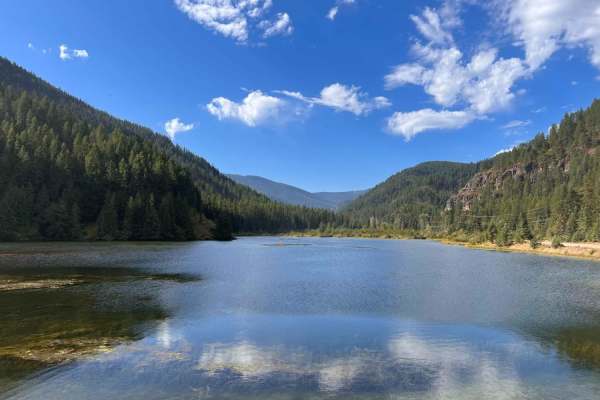
Lower Marten Creek
Lower Marten Creek is an easy, scenic dirt road perfect for beginners, families, and anyone looking to escape into the dense forests of western Montana near Noxon Reservoir. Starting near the inlet of Marten Creek Bay, also known as Martin Creek Bay, this nicely graded 6.7-mile route gently climbs f...
Learn more about Lower Marten Creek

Independence Creek
This is one of the most beautiful trails in North Idaho, but not for the faint of heart. It is a remote, single-track trail that traverses a truly roadless area. Trailhead is roughly one hour and fifteen minutes from town. There is a rudimentary parking area with enough space for 5-6 trucks. Bring y...
Learn more about Independence Creek

Ermine Ridge
Ermine Ridge is a short single track in the CDA National Forest. Riding north to south, from Faset Road, drop down a couple of steep switchbacks, and the trail flattens out on a ridgeline. The single track is in a burn area, so has a risk of downed logs and more sun exposure, but also has amazing vi...
Learn more about Ermine Ridge
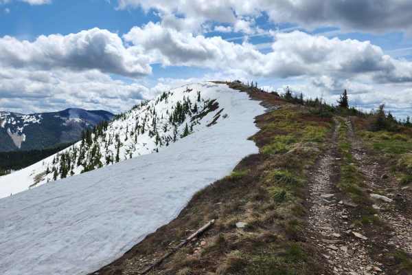
Bloom Peak Trail
Bloom Peak trail starts on the west side of Noxon Reservoir, Montana, crosses the Idaho border, and completes near Pritchard, Idaho. This is primarily a gravel route with fantastic views and culminates with panoramic views at Bloom Peak. The route utilizes USFS roads #322 (Minton Peak Rd), Clark For...
Learn more about Bloom Peak Trail
ATV trails near Heron, Montana
Explore ATV-friendly trails near you. These trails are accessible for vehicles up to 50 inches wide, perfect for ATVs and smaller off-road machines.
Twin Creek
This mostly graded gravel road runs from the tarmac to the Twin Creek hiking and single-track ATV trail. Although no trailhead sign states it's a single track, motorcycle tracks are evident on the trail. Overall the route is nice and smooth, with potholes that appear out of nowhere. There's a steepe...
Learn more about Twin Creek
West Fork Pilgrim Creek
This generally easy trail heads back up to the ridges and deeper into the forest. It's mostly easy with a few larger potholes, and tight switchback turns. The only camping noticed was alongside the road in pullouts, but some of the spots had amazing views. It's a nice easy trail to get to elevation ...
Learn more about West Fork Pilgrim Creek
Lone Cliff Cutover
This easy ridge trail cuts across the top of the hills with amazing views of the Clark Fork valley and the Cabinet mountains. There is also access to the Skeleton Creek hiking trail from both ends. There are some decent-sized pullouts to dispersed camps and one outstanding one right in a forestry cl...
Learn more about Lone Cliff Cutover
Huckleberry Mountain
This fun trail ducks and dives, bobs, and weaves its way around the hillsides. There are a few rutted areas. Some narrow sections with tall grass and a few loose hill climbs. Overall it's pretty narrow without many good spots to allow oncoming to pass. Other than some of the fantastic vistas, the hi...
Learn more about Huckleberry Mountain
UTV/side-by-side trails near Heron, Montana
Find UTV and side-by-side trails near you. These trails accommodate vehicles up to 60 inches wide, ideal for UTVs, side-by-sides, and wider off-road rigs.
Twin Creek
This mostly graded gravel road runs from the tarmac to the Twin Creek hiking and single-track ATV trail. Although no trailhead sign states it's a single track, motorcycle tracks are evident on the trail. Overall the route is nice and smooth, with potholes that appear out of nowhere. There's a steepe...
Learn more about Twin Creek
West Fork Pilgrim Creek
This generally easy trail heads back up to the ridges and deeper into the forest. It's mostly easy with a few larger potholes, and tight switchback turns. The only camping noticed was alongside the road in pullouts, but some of the spots had amazing views. It's a nice easy trail to get to elevation ...
Learn more about West Fork Pilgrim Creek
Lone Cliff Cutover
This easy ridge trail cuts across the top of the hills with amazing views of the Clark Fork valley and the Cabinet mountains. There is also access to the Skeleton Creek hiking trail from both ends. There are some decent-sized pullouts to dispersed camps and one outstanding one right in a forestry cl...
Learn more about Lone Cliff Cutover
Huckleberry Mountain
This fun trail ducks and dives, bobs, and weaves its way around the hillsides. There are a few rutted areas. Some narrow sections with tall grass and a few loose hill climbs. Overall it's pretty narrow without many good spots to allow oncoming to pass. Other than some of the fantastic vistas, the hi...
Learn more about Huckleberry Mountain
The onX Offroad Difference
onX Offroad combines trail photos, descriptions, difficulty ratings, width restrictions, seasonality, and more in a user-friendly interface. Available on all devices, with offline access and full compatibility with CarPlay and Android Auto. Discover what you're missing today!
Open Trail Map