Trail Overview
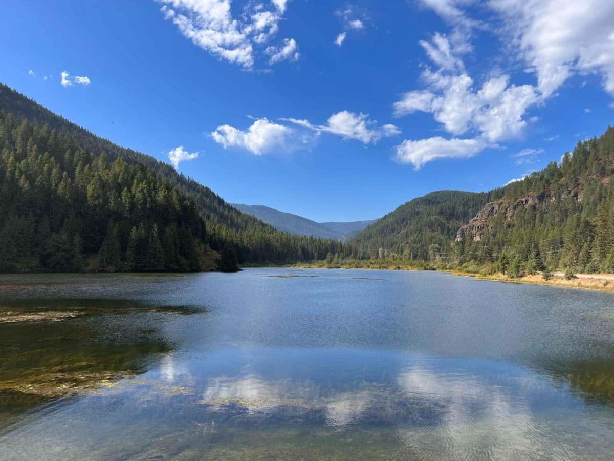
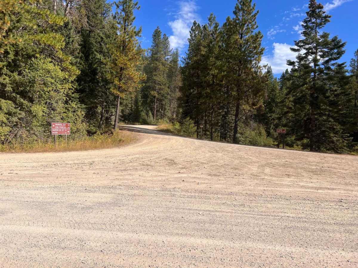
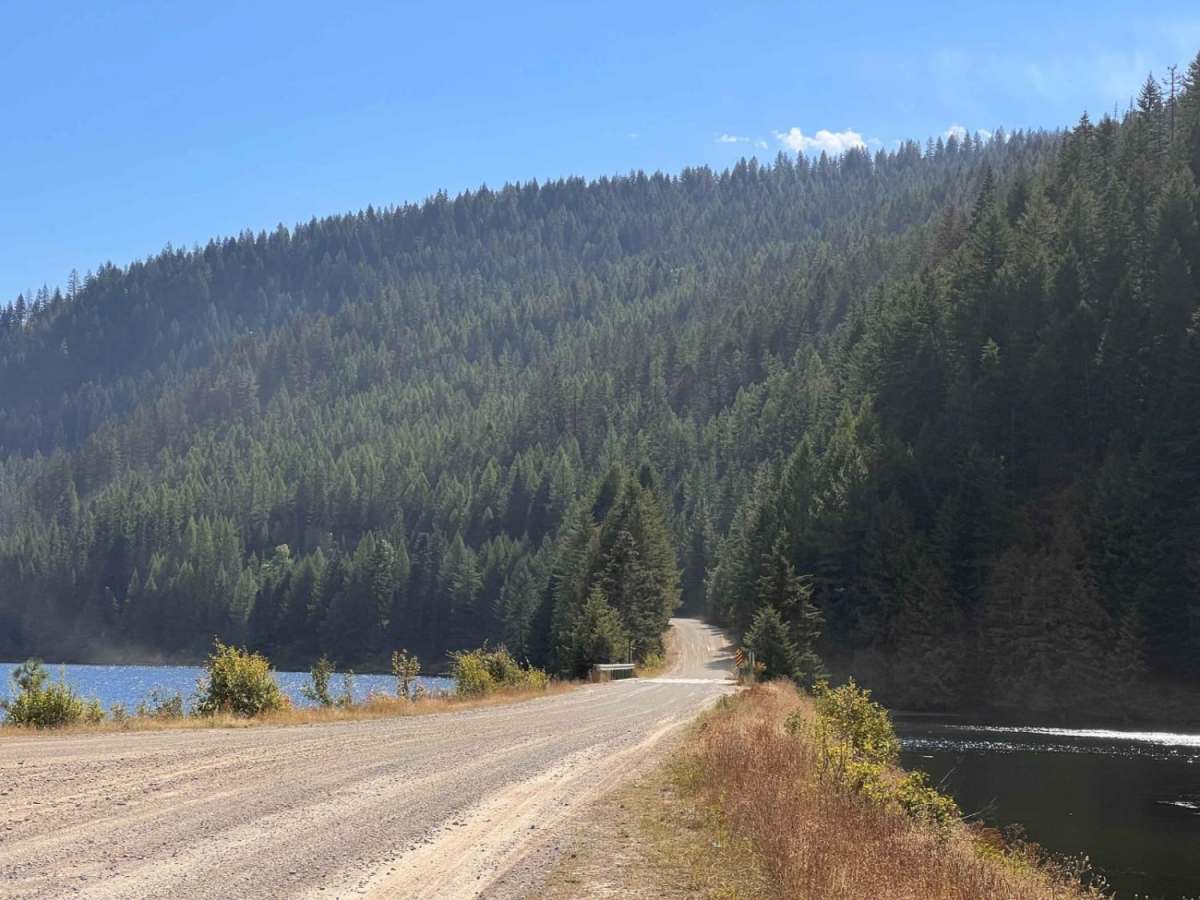
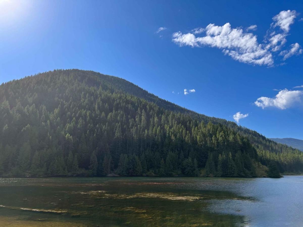
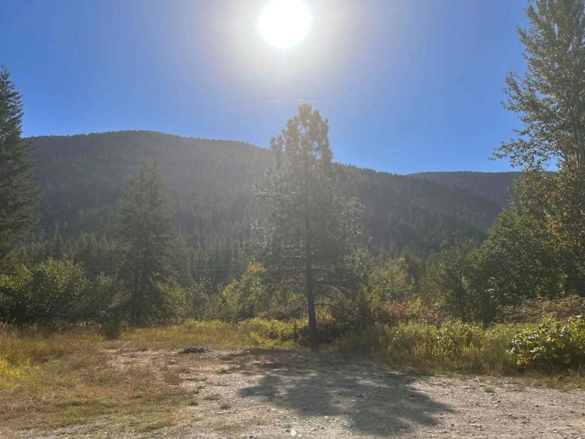
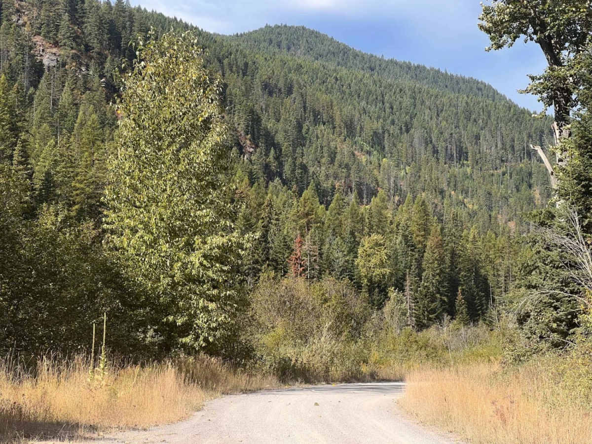
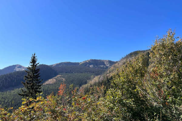
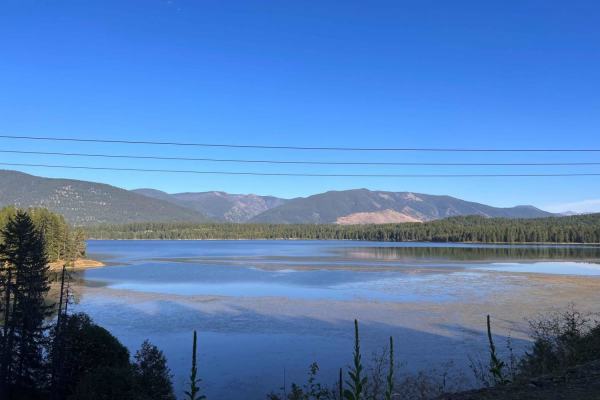
Lower Marten Creek is an easy, scenic dirt road perfect for beginners, families, and anyone looking to escape into the dense forests of western Montana near Noxon Reservoir. Starting near the inlet of Marten Creek Bay, also known as Martin Creek Bay, this nicely graded 6.7-mile route gently climbs from an elevation of 2,339 feet up to 3,016 feet, following along the rushing waters of Marten Creek. The trail features a gentle 687-foot elevation gain, making it an incredibly smooth and accessible drive for stock four-wheel-drive vehicles, high-clearance SUVs, and SxSs. While the road is mostly well-maintained, it is primarily narrow with occasional deep potholes, requiring drivers to keep a lookout for oncoming traffic and use the available pullouts.
For those looking to extend their stay, the route offers abundant dispersed camping sites nestled in the timber alongside the creek. Near the beginning of the trail, the established Martin Creek Campground provides excellent amenities including pit toilets, picnic tables, and a boat ramp for accessing the scenic Noxon Reservoir. Visitors should note that there is absolutely no cell service in this remote forest canyon, so downloading offline maps is highly recommended before heading out. The trail is best driven from late spring through fall when the route is free of heavy winter snow, making it a fantastic gateway for fishing, hiking, and exploring the surrounding Kootenai National Forest.
Access Description
There are no fees required to drive Lower Marten Creek. Dispersed camping is free throughout the national forest corridor. The Martin Creek Campground, located near the beginning of the route, has established campsites, pit toilets, and a boat ramp, which may require standard US Forest Service fees. There is no cell service in this canyon, so travelers must be self-sufficient and download maps for offline use before arrival.