
Dirt Bike Trails
Near Hazel Green, Kentucky
Explore All Dirt Bike Trails Near Hazel Green, Kentucky
Dirt Bike Trails Near Hazel Green, Kentucky
Discover the best dirt bike trails near you. Browse trail maps, check difficulty ratings, and find your next adventure — whether you're looking for a quick ride or an all-day expedition.
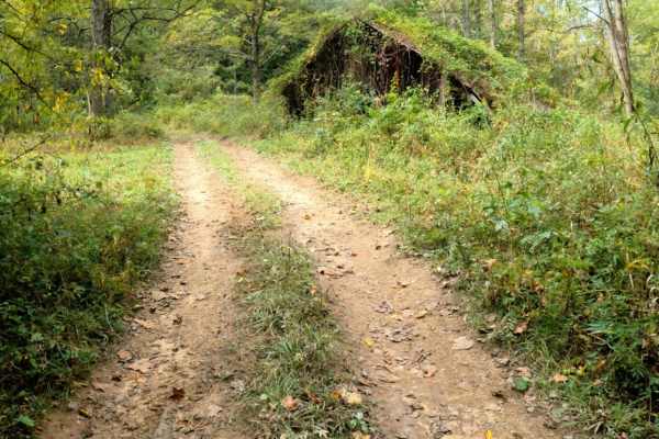
Cowen Creek
Cowen Creek offers an exciting, technical challenge for experienced offroaders looking to test their high-clearance, four-wheel-drive vehicles against rugged terrain. Spanning approximately 2.26 miles near Zachariah, Kentucky, this trail delivers scenic beauty as it winds through a rocky creek bed f...
Learn more about Cowen Creek
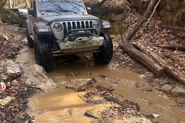
Little Widow Maker
Little Widow Maker runs from Sand Lick Road to Trail 41 and Big Widow Maker. This trail runs through a rough and rocky area of a creek bed. Very scenic, with water features, large rocks, and ledges as you traverse through the water of the creek. This trail runs around and parallel to Trail 41.
Learn more about Little Widow Maker
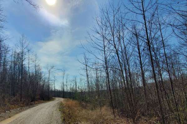
Amos Cut
Nice, easy gravel road, following an abandoned railroad. It offers views of the valley below and an operational rock quarry across the way. This road is an abandoned rail bed from the days when the Red River Gorge was being logged. There are no obstacles along this route in typical conditions, but o...
Learn more about Amos Cut
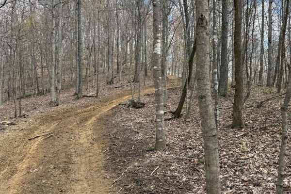
Big Widow Maker - BYPASS
This trail is the bypass for the Big Widow Maker. This trail leads from the Sand Lick Road and the Little Widow Maker up to TRAIL 41 and 5. This trail runs up a steep incline around several power lines and has a steep drop and a cliff to one side of the trail.
Learn more about Big Widow Maker - BYPASS
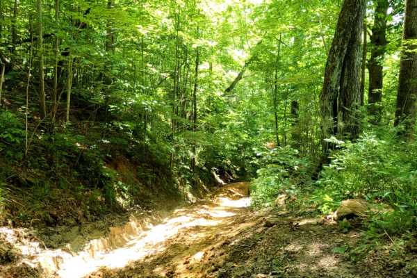
Cold Iron Fork Road
Cold Iron Fork Road is a challenging 2.7-mile point-to-point trail in the Daniel Boone National Forest, ideal for experienced drivers seeking steep muddy climbs and technical rock obstacles. Connecting US-460 near Rothwell to Indian Creek Road (KY-713) in the south, this route winds through a dense ...
Learn more about Cold Iron Fork Road
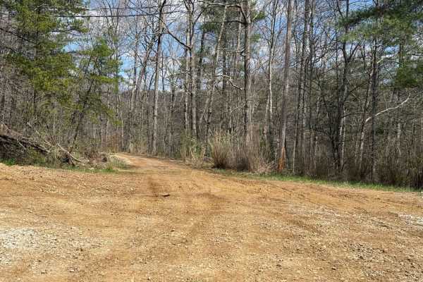
Trail 5
Trail 5 is an easy trail that leads and shoots of with many other trails. Those trails include 48, 13, 41, 42, 17, 9, 18, and 6. So many trails to choose from off this trail. You will also find Sand Lick Road that comes out onto Trail 5.
Learn more about Trail 5
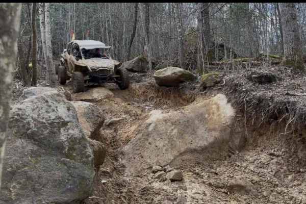
Trail 13
This trail is a loop off of Trail 5 that goes up a hillside and then comes back down. The climb off the south side of the trail is not bad, however, the descent has several large obstacles before going back down into Sand Lick Fork creek area.
Learn more about Trail 13
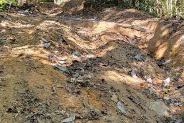
Hard 11 - KAT
The KAT Hard 11 is made up of sections including Walker Creek Road and Old Fincastle. This particular track begins at the bypass to the very narrow section of the main trail. Most of the trail follows an old railroad bed and is fairly straight. The area around the intersection of Cowan Creek and Har...
Learn more about Hard 11 - KAT
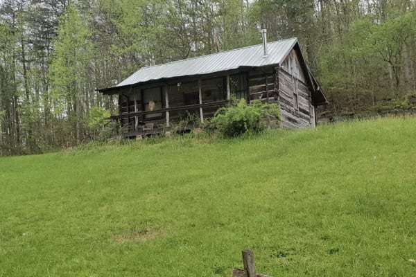
Zachariah 4WD Trail
This route starts with a steep gravel incline when it splits off Sandlick Road. Not far into the trail, it becomes a natural terrain and presents itself as more difficult. You will encounter mudholes that are deep and off-camber. You will also encounter larger rocks and debris while making the incli...
Learn more about Zachariah 4WD Trail
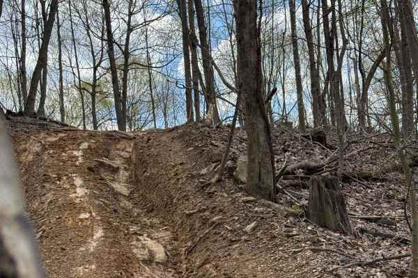
Trail 18
Trail 18 runs around the outside area north of Trail 6, just outside of the borders of the Daniel Boone National Forest. This trail is a fun trail that has good views as well as several obstacles to traverse as you are either going up or down the trail.
Learn more about Trail 18
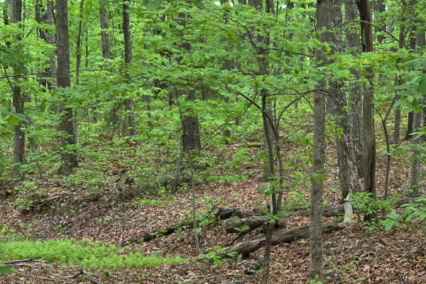
Big Bend Road
Big Bend Road is an out-and-back route that will run you along a ridge top offering some amazing views during the fall and winter months. In early spring, it does tend to have a few deep mudholes. There is a bypass at these spots so that you can avoid any extra work. The vegetation is overgrown in t...
Learn more about Big Bend Road
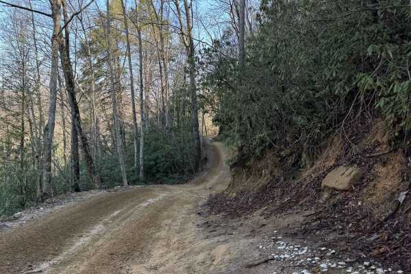
Trail 1
This is the main trailhead that leads into the park from the General Store, the Main Parking Lot, and other Camping and Parking Lots. The trail starts on gravel and is mostly dirt and gravel. The trail travels by a small lake and a dam. A couple of small inclines at the immediate start, leaving the ...
Learn more about Trail 1
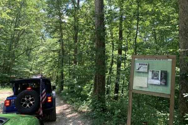
Spaas Creek
Spaas Creek is a wonderful 6-mile creek ride east of Winchester. It is located inside the Daniel Boone National Forest and is a short distance from many other rides in the area. The northern trailhead is the most difficult part of the trail. There are several water crossings and boulder obstacles on...
Learn more about Spaas Creek
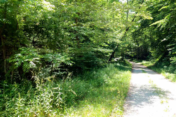
Wayne Benson Road
Wayne Benson Road is a 2.2-mile unpaved route near Craig Hill in Eastern Kentucky. Winding through dense forest, the track features a mix of dirt, gravel, and mud. High-clearance 4WD vehicles are recommended to safely navigate changing conditions, slick clay, and deep muddy ruts.
The route ranges f...
Learn more about Wayne Benson Road
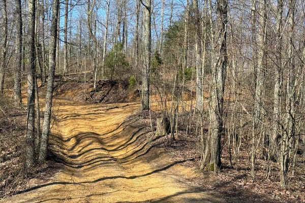
Trail 5A
Trail 5A is an easy connector trail for trails 3, 4, 7, 8, and 46. You will find plenty of room to pass other vehicles. This is an easy-maintained trail that will lead to other significant trails of the park to explore and ride on that come off of this trail.
Learn more about Trail 5A
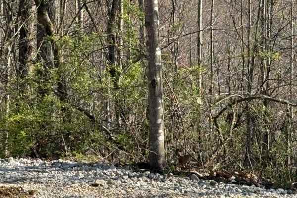
Trail 3
Trail 3 is an overall easy trail that runs between Trails 4 and 5. This trail is a quick run to the northeast side of the park to access several more difficult trails. Enjoy this easy ride on over to the other parts of the park to ride.
Learn more about Trail 3
Trail 7
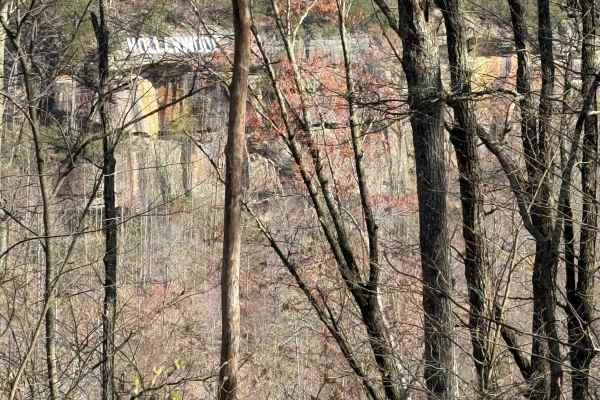
Trail 7 is a nice and easy scenic trail that starts out at Trail 5A and crosses over Trail 3. It travels along a ridge line and goes out to an area called Picinic Point. Here you will find wonderful views and some cool photo shots of the overlook area and the Hollerwood sign hanging from the cliffs.
Learn more about Trail 7
Trail 4A
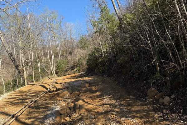
This trail is a short loop off of Trail 4. This trail travels around and beside an old oil pump. The trail then goes down and beside Sand Lick Fork. The creek that flows through this area is surrounded by trees and is a nice place to stop before heading into the park.
Learn more about Trail 4A
Trail 4
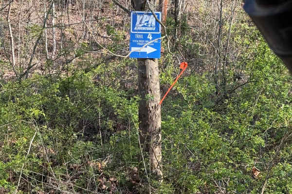
Trail 4 routes up from Sand Lick Fork from Trail 1, which goes up around an oil pump building and toward Trail 5. You can find the Lazy Loop Trail, 4a, and Cavern Cove trails from off this trail. There are several inclines, washes, and rocks to traverse on the trail. Keep an eye out for the Hollerwo...
Learn more about Trail 4
Trail 2
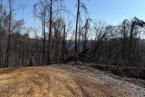
This trail runs from Barker Branch Road to Trail 1 in the park. This trail circles around the view of the lake and the dam area. The trail travels downward away from a paved road called Barkers Branch Road and goes to the trail split of Trail 1, 4, and 46, all at the Sand Lick Fork.
Learn more about Trail 2
ATV trails near Hazel Green, Kentucky
Explore ATV-friendly trails near you. These trails are accessible for vehicles up to 50 inches wide, perfect for ATVs and smaller off-road machines.
Cowen Creek
Cowen Creek offers an exciting, technical challenge for experienced offroaders looking to test their high-clearance, four-wheel-drive vehicles against rugged terrain. Spanning approximately 2.26 miles near Zachariah, Kentucky, this trail delivers scenic beauty as it winds through a rocky creek bed f...
Learn more about Cowen Creek
Little Widow Maker
Little Widow Maker runs from Sand Lick Road to Trail 41 and Big Widow Maker. This trail runs through a rough and rocky area of a creek bed. Very scenic, with water features, large rocks, and ledges as you traverse through the water of the creek. This trail runs around and parallel to Trail 41.
Learn more about Little Widow Maker
Amos Cut
Nice, easy gravel road, following an abandoned railroad. It offers views of the valley below and an operational rock quarry across the way. This road is an abandoned rail bed from the days when the Red River Gorge was being logged. There are no obstacles along this route in typical conditions, but o...
Learn more about Amos Cut
Big Widow Maker - BYPASS
This trail is the bypass for the Big Widow Maker. This trail leads from the Sand Lick Road and the Little Widow Maker up to TRAIL 41 and 5. This trail runs up a steep incline around several power lines and has a steep drop and a cliff to one side of the trail.
Learn more about Big Widow Maker - BYPASS
UTV/side-by-side trails near Hazel Green, Kentucky
Find UTV and side-by-side trails near you. These trails accommodate vehicles up to 60 inches wide, ideal for UTVs, side-by-sides, and wider off-road rigs.
Cowen Creek
Cowen Creek offers an exciting, technical challenge for experienced offroaders looking to test their high-clearance, four-wheel-drive vehicles against rugged terrain. Spanning approximately 2.26 miles near Zachariah, Kentucky, this trail delivers scenic beauty as it winds through a rocky creek bed f...
Learn more about Cowen Creek
Little Widow Maker
Little Widow Maker runs from Sand Lick Road to Trail 41 and Big Widow Maker. This trail runs through a rough and rocky area of a creek bed. Very scenic, with water features, large rocks, and ledges as you traverse through the water of the creek. This trail runs around and parallel to Trail 41.
Learn more about Little Widow Maker
Amos Cut
Nice, easy gravel road, following an abandoned railroad. It offers views of the valley below and an operational rock quarry across the way. This road is an abandoned rail bed from the days when the Red River Gorge was being logged. There are no obstacles along this route in typical conditions, but o...
Learn more about Amos Cut
Big Widow Maker - BYPASS
This trail is the bypass for the Big Widow Maker. This trail leads from the Sand Lick Road and the Little Widow Maker up to TRAIL 41 and 5. This trail runs up a steep incline around several power lines and has a steep drop and a cliff to one side of the trail.
Learn more about Big Widow Maker - BYPASS
The onX Offroad Difference
onX Offroad combines trail photos, descriptions, difficulty ratings, width restrictions, seasonality, and more in a user-friendly interface. Available on all devices, with offline access and full compatibility with CarPlay and Android Auto. Discover what you're missing today!
Open Trail Map