
Dirt Bike Trails
Near East Perrine, Florida
Explore All Dirt Bike Trails Near East Perrine, Florida
Dirt Bike Trails Near East Perrine, Florida
Discover the best dirt bike trails near you. Browse trail maps, check difficulty ratings, and find your next adventure — whether you're looking for a quick ride or an all-day expedition.

Tamiami Trails
This trail contains fun for the Overlanding crowd and the hardcore off-roaders most of it is flat but some difficult muddy sections can't be passed by inexperienced drivers. The conditions change often based on weather and can be very. muddy. We recommend you find strong anchor points to winch off o...
Learn more about Tamiami Trails
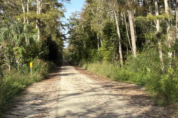
Loop Road - CR 94
Loop Road, also known as County Road 94, is the most beautiful dirt road you can drive in the area without pulling a permit. The trail starts and ends at US 41 in the southern part of the Big Cypress National Preserve. The Loop Road takes you through open prairies, stands of Bald Cypress, and Slash ...
Learn more about Loop Road - CR 94
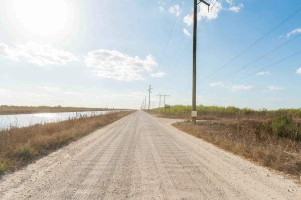
North Miami Canal Connect
North Miami Trail Connect runs along a canal corridor and leads to a public boat ramp. The surface is primarily dirt and sand and can become muddy in low-lying sections, especially after rain. Conditions vary depending on recent weather. The route follows the waterway closely and provides access to ...
Learn more about North Miami Canal Connect
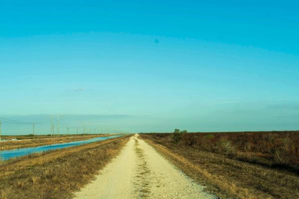
South Miami Canal Connect
South Miami Canal Connect just north of the Everglades Wildlife Management Area, which runs along a canal with a hardpack dirt and sand surface mixed with scattered rocks. Grass lines the lower sections near the water, and the opposite side includes open access commonly used by ATVs, SxS, and buggie...
Learn more about South Miami Canal Connect

East Miami Canal
The East Miami Canal runs east of the main canal corridor and leads directly to a public boat ramp. The surface consists primarily of hardpack dirt and sand with scattered rocks, and multiple narrow one-lane roads branch off to connect different sections of the area. These side roads create a networ...
Learn more about East Miami Canal
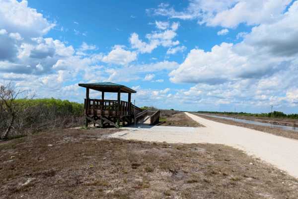
Rotenberger Perimeter Trail
The Rotenberger Perimeter Trail offers a scenic and rugged outline around the conservation area, defined by a narrow track that frequently develops heavy washboards and requires a steady pace. This trail is a premier destination for wildlife viewing and fishing, featuring a dedicated overlook statio...
Learn more about Rotenberger Perimeter Trail
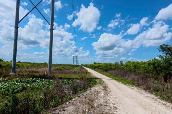
West Upper Miami Canal Connect
The West Upper Miami Canal Connect runs west of the main canal corridor, a surface of hardpack dirt, sand, and scattered rocks. While the main path is generally firm in dry weather, it transitions into a network of multiple narrow, one-lane roads that require careful navigation due to very limited p...
Learn more about West Upper Miami Canal Connect
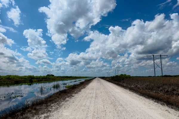
Lower West Miami Canal Connect
Gemini said
The Lower West Miami Canal Connect runs east of the main canal corridor, providing a direct route to a public boat ramp across a surface of hardpack dirt, sand, and scattered rocks. While the main path is generally firm in dry weather, it transitions into a network of multiple narrow, ...
Learn more about Lower West Miami Canal Connect
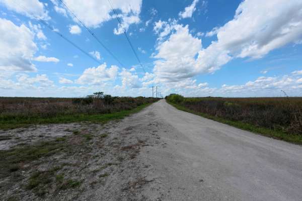
Upper West Extention Miami Canal Connect
The West Upper Extension Miami Canal Connect runs east of the main canal corridor, a surface of hardpack dirt, sand, and scattered rocks. While the main path is generally firm in dry weather, it transitions into a network of multiple narrow, one-lane roads that require careful navigation due to very...
Learn more about Upper West Extention Miami Canal Connect
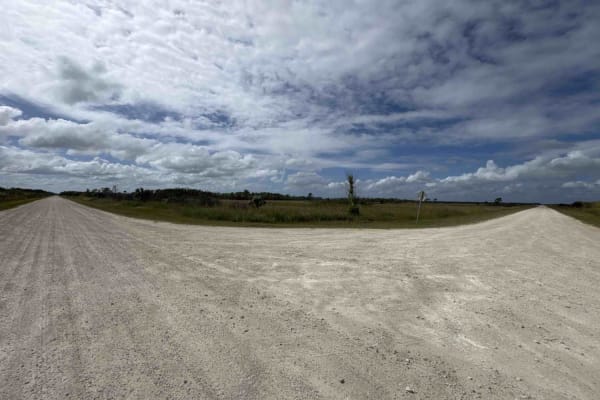
Turner River Road - CR 839
The Turner River Road, also known as County Road 839, starts at US 41 at the south end next to the H.P. Williams Wildlife Viewing Area and ends at Bear Island Trail and Campground in the north part of the Big Cypress National Preserve. The Turner River Road Scenic Drive takes you through open prairi...
Learn more about Turner River Road - CR 839
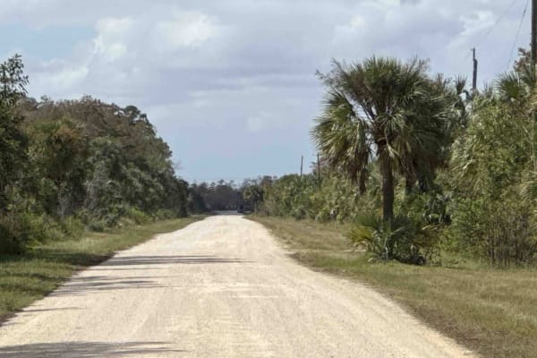
Wagon Wheel Road - CR 837
The Wagon Wheel Road, also known as County Road 837, connects Turner River Road at the east end and County Road 29 at the west end in the north part of the Big Cypress National Preserve. The Wagon Wheel Road takes you through open prairies, stands of Bald Cypress, and Slash Pine. The canal next to t...
Learn more about Wagon Wheel Road - CR 837
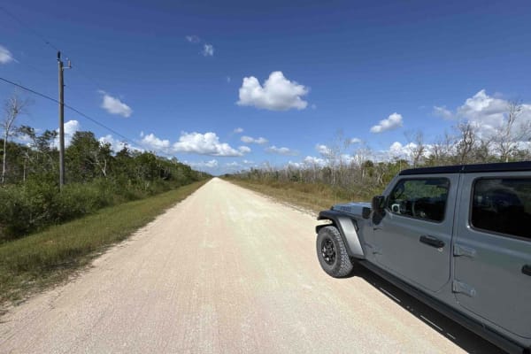
Birdon Road - CR 841
The Birdon Road, also known as County Road 841, starts at US 41 at the south end and ends at Wagon Wheel Road in the north part of the Big Cypress National Preserve. The Birdon Road gives you access to the SWAMP Education Center and takes you through open prairies, stands of Bald Cypress, and Slash ...
Learn more about Birdon Road - CR 841
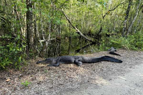
Janes Memorial Scenic Drive
The Janes Memorial Scenic Drive is the main access point to the majority of hiking and biking trails in the Fakahatchee Strand Preserve State Park. Fakahatchee Strand Preserve is the largest state park in Florida and is home to a variety of plant and animal species that can be found nowhere else in ...
Learn more about Janes Memorial Scenic Drive
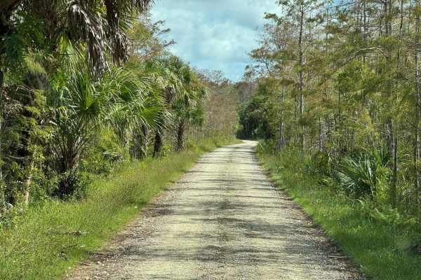
Bear Island Road
The Bear Island Road starts at Turner River Road at the north end of the Scenic Drive and takes you to the primitive Campground in the north part of the Big Cypress National Preserve. The Campground has more than 30 sites and a few composting toilets. The only three trails that require a $100 permit...
Learn more about Bear Island Road
ATV trails near East Perrine, Florida
Explore ATV-friendly trails near you. These trails are accessible for vehicles up to 50 inches wide, perfect for ATVs and smaller off-road machines.
Tamiami Trails
This trail contains fun for the Overlanding crowd and the hardcore off-roaders most of it is flat but some difficult muddy sections can't be passed by inexperienced drivers. The conditions change often based on weather and can be very. muddy. We recommend you find strong anchor points to winch off o...
Learn more about Tamiami Trails
Loop Road - CR 94
Loop Road, also known as County Road 94, is the most beautiful dirt road you can drive in the area without pulling a permit. The trail starts and ends at US 41 in the southern part of the Big Cypress National Preserve. The Loop Road takes you through open prairies, stands of Bald Cypress, and Slash ...
Learn more about Loop Road - CR 94
North Miami Canal Connect
North Miami Trail Connect runs along a canal corridor and leads to a public boat ramp. The surface is primarily dirt and sand and can become muddy in low-lying sections, especially after rain. Conditions vary depending on recent weather. The route follows the waterway closely and provides access to ...
Learn more about North Miami Canal Connect
South Miami Canal Connect
South Miami Canal Connect just north of the Everglades Wildlife Management Area, which runs along a canal with a hardpack dirt and sand surface mixed with scattered rocks. Grass lines the lower sections near the water, and the opposite side includes open access commonly used by ATVs, SxS, and buggie...
Learn more about South Miami Canal Connect
UTV/side-by-side trails near East Perrine, Florida
Find UTV and side-by-side trails near you. These trails accommodate vehicles up to 60 inches wide, ideal for UTVs, side-by-sides, and wider off-road rigs.
Tamiami Trails
This trail contains fun for the Overlanding crowd and the hardcore off-roaders most of it is flat but some difficult muddy sections can't be passed by inexperienced drivers. The conditions change often based on weather and can be very. muddy. We recommend you find strong anchor points to winch off o...
Learn more about Tamiami Trails
Loop Road - CR 94
Loop Road, also known as County Road 94, is the most beautiful dirt road you can drive in the area without pulling a permit. The trail starts and ends at US 41 in the southern part of the Big Cypress National Preserve. The Loop Road takes you through open prairies, stands of Bald Cypress, and Slash ...
Learn more about Loop Road - CR 94
North Miami Canal Connect
North Miami Trail Connect runs along a canal corridor and leads to a public boat ramp. The surface is primarily dirt and sand and can become muddy in low-lying sections, especially after rain. Conditions vary depending on recent weather. The route follows the waterway closely and provides access to ...
Learn more about North Miami Canal Connect
South Miami Canal Connect
South Miami Canal Connect just north of the Everglades Wildlife Management Area, which runs along a canal with a hardpack dirt and sand surface mixed with scattered rocks. Grass lines the lower sections near the water, and the opposite side includes open access commonly used by ATVs, SxS, and buggie...
Learn more about South Miami Canal Connect
The onX Offroad Difference
onX Offroad combines trail photos, descriptions, difficulty ratings, width restrictions, seasonality, and more in a user-friendly interface. Available on all devices, with offline access and full compatibility with CarPlay and Android Auto. Discover what you're missing today!
Open Trail Map