
Dirt Bike Trails
Near Eagar, Arizona
Explore All Dirt Bike Trails Near Eagar, Arizona
Dirt Bike Trails Near Eagar, Arizona
Discover the best dirt bike trails near you. Browse trail maps, check difficulty ratings, and find your next adventure — whether you're looking for a quick ride or an all-day expedition.
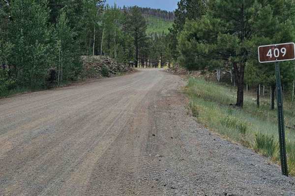
FS 409
Forest Service Road 409 is one of the better roads connecting State Route 273 to State Route 261. It is a well-maintained gravel road with many excellent places to dry camp and beautiful views of open meadows. There are remnants of an old homestead about halfway up the trail that are interesting to ...
Learn more about FS 409
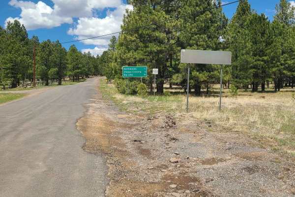
Forest Service Road 87
Apache County Road 1122 is an easy two-lane gravel road from Greer to Highway 273. There are several nice camping spots along the road and access to a non-motorized hiking/biking trail by the scenic bridge. Along this route, you will have views of Sunrise Ski Mountain and Mount Baldy, one of the tal...
Learn more about Forest Service Road 87
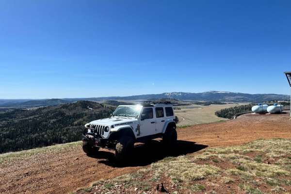
Carnero Creek Trail
This is a very scenic drive through the heart of the White Mountains in Arizona. The trail is a well-maintained Forest Service road, suited for a vehicle with average ground clearance. Licensed and registered vehicles are required to travel this trail. There are spots of washboard, but driving slowl...
Learn more about Carnero Creek Trail
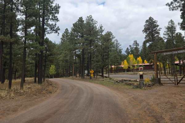
Wonderland
This trail is accessed off Highway 373 just out of Greer. It will take to the East side of the Greer "lake" called River Reservoir. The road is just over 2 miles and can easily be traveled by car. The road ends where it meets private property and a road-closed sign. There is a nice parking lot with ...
Learn more about Wonderland
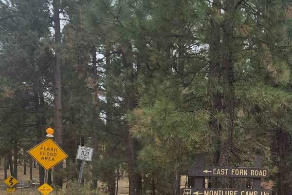
East Fork
This trail starts right before you enter the town of Greer. Close to the beginning of the road is the Butler Canyon Nature Trail (a short hiking trail) and the road ends at the Montlure Presbyterian Church Camp. This is a well-maintained gravel road that takes you along the side of the Little Colora...
Learn more about East Fork
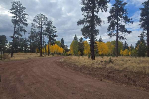
Hall Creek Road
Hall Creek Road connects Fire Service Road 87 to Forest Service Road 112, providing entry to several shorter trails with desirable camping sites and fun trails. Those visiting in autumn will witness the picturesque transformation of roadside trees. It's also common to encounter deer and elk populati...
Learn more about Hall Creek Road
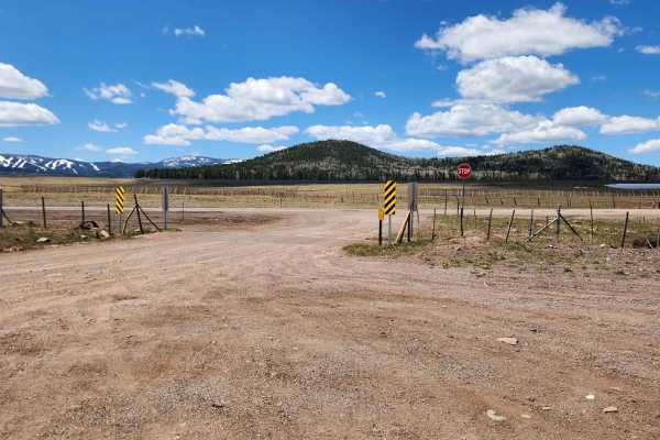
Carnero Lake
Take a beautiful drive from Highway 260 to FR 118 up north. You'll pass through wide-open meadows and dense forests of pine and aspen on a moderately bumpy gravel road with some small washouts. Along the way, you'll find cool spots to camp and fun side paths, including a stop at Greens Peak lookout ...
Learn more about Carnero Lake
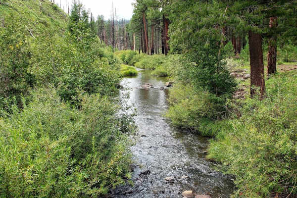
North Fork East Fork Black River Canyon
Beautiful Views of Round Valley, Nutrioso, Black River Canyon, North East Fork Black River and more as you climb up and over a couple mountain ranges and drop into the valleys below. Along this route, you will also find some history of the White Mountains when you come across the grave site of Oscar...
Learn more about North Fork East Fork Black River Canyon
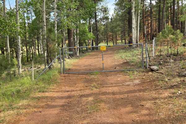
Pole Knoll Summit
This trail can be accessed off Highway 260 or FSR 112. This short trail will take you through some beautiful aspen trees that canopy over the trail near the summit. The forest is pretty dense throughout most of the trail and often you will see wildlife, with elk, deer, and turkeys being the most com...
Learn more about Pole Knoll Summit
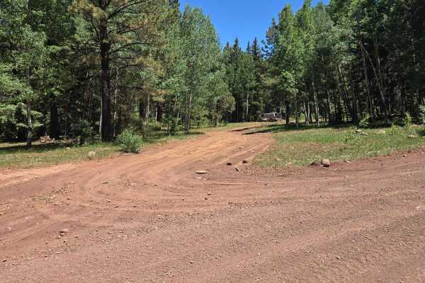
Carnero Springs Road 8556
This trail will take you around and provide access to the east side of Carnero Lake. There are a few water crossings created by small springs and one steep 50-yard section at about the middle of the trail. There are several great camping spots with one that is about a mile in from the north side of ...
Learn more about Carnero Springs Road 8556
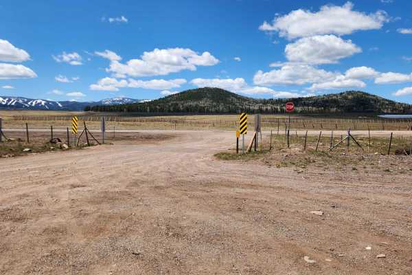
Greens Peak
Take a beautiful drive from Highway 260 to FR 118 up north. You'll pass through wide-open meadows and dense forests of pine and aspen on a moderately bumpy dirt road with some small washouts. Along the way, you'll find cool spots to camp and fun side roads, including a stop at Greens Peak lookout to...
Learn more about Greens Peak
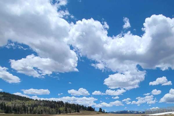
Forest Service Road 112
This is an easy, well-graded two-lane road that connects the 260 Highway to the 273 Highway. This road has beautiful views of Sunrise Ski Resort, Mount Baldy, and a few reservoirs and crosses over Hall Creek. There are many fun side trails, including the Pole Knoll trail system which often has an ab...
Learn more about Forest Service Road 112
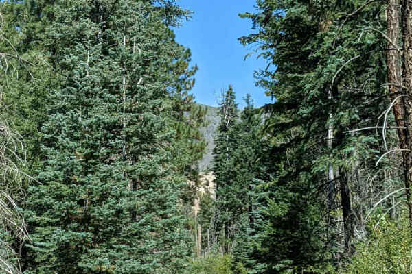
Paddy Creek
This is a narrow trail mostly suited for ATVs and small 4x4s due to the creek crossing between two large trees. My Jeep Wrangler JLU did fine, but we had to get creative to get through some narrowly spaced trees. Although short in distance, the scenery is beautiful, and wildlife viewing is highly p...
Learn more about Paddy Creek
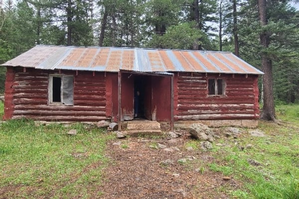
Forest Service Road 61/64F
This is a very scenic drive that will take you by the Thode Cabin and the old Whiting Saw Mill that both date back to the early 1900's as well as a small side trail that will take the Greens Peak lookout tower. About half of the trail is a well-maintained Forest Service Road, while the other half is...
Learn more about Forest Service Road 61/64F
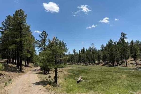
Meadow Loop
This loop takes you from Arizona into New Mexico crossing the border line. The trail surface is smooth with occasional small potholes. This trail passes by many meadows surrounded by tall pine trees. You will find many cows grazing and some natural springs in the area as well.
Learn more about Meadow Loop
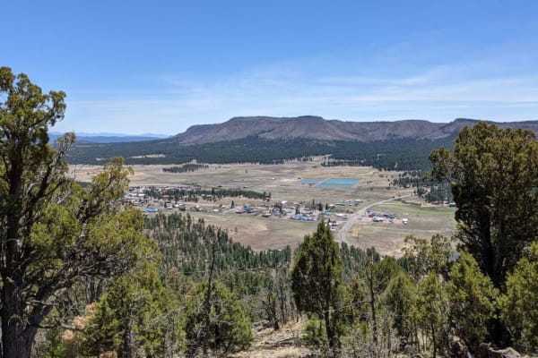
Alpine Memorial Overlook
This track takes you from the Alpine Divide behind Tal-Wi-Wi up on the mountain behind the town of Alpine. At the end of the trail there are memorials in the form of a flag pole with an American flag flying year around. Other small memorials to friends, veterans and pets can be found scattered in th...
Learn more about Alpine Memorial Overlook
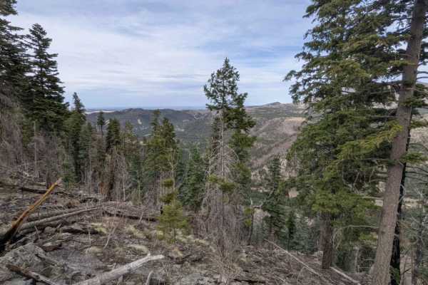
Noble Mountain
This trail travels above the Alpine Divide and along a head of the San Francisco River. Much of this area was burned out in the Bear Wallow fire of 2011. Although the scarred area itself is not visually appealing, the lack of trees in areas provides for stunning unobstructed views of the many mounta...
Learn more about Noble Mountain
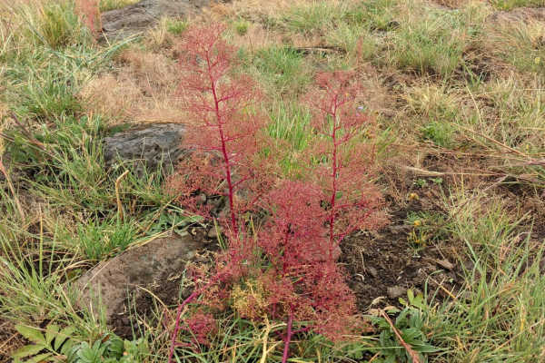
Squeeze Me Gently
This trail has it all, including climbs, descents, lush forests, open meadows, and beautiful views, with elevations changing over 1,000 feet and exceeding 9,300 feet! There is a section of the trail where there is significant new growth and fallen timber from the Wallow Fire that devastated part of ...
Learn more about Squeeze Me Gently
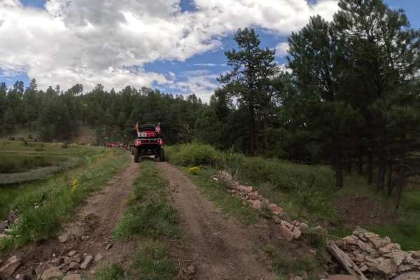
Homestead Loop
The Homestead Loop covers serene trails starting in Arizona and a brief pass through New Mexico before returning to State 48. Flanked by tall trees and grassy fields, the route is smooth with some sections that may require high clearance 4WD, depending on the season and road conditions. There are tw...
Learn more about Homestead Loop
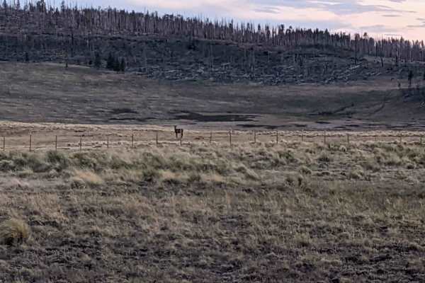
Escudilla Mountain
This route takes you from US 180/191 up to Terry Flat on the Escudilla Mountains. It passes by Hulsey Lake, a quiet fishing spot, is also along the route. It is also the route to take to the Escudilla Lookout Trail. The loop continues and returns back down to US 180/191 to the point of beginning. Th...
Learn more about Escudilla Mountain
ATV trails near Eagar, Arizona
Explore ATV-friendly trails near you. These trails are accessible for vehicles up to 50 inches wide, perfect for ATVs and smaller off-road machines.
FS 409
Forest Service Road 409 is one of the better roads connecting State Route 273 to State Route 261. It is a well-maintained gravel road with many excellent places to dry camp and beautiful views of open meadows. There are remnants of an old homestead about halfway up the trail that are interesting to ...
Learn more about FS 409
Forest Service Road 87
Apache County Road 1122 is an easy two-lane gravel road from Greer to Highway 273. There are several nice camping spots along the road and access to a non-motorized hiking/biking trail by the scenic bridge. Along this route, you will have views of Sunrise Ski Mountain and Mount Baldy, one of the tal...
Learn more about Forest Service Road 87
Carnero Creek Trail
This is a very scenic drive through the heart of the White Mountains in Arizona. The trail is a well-maintained Forest Service road, suited for a vehicle with average ground clearance. Licensed and registered vehicles are required to travel this trail. There are spots of washboard, but driving slowl...
Learn more about Carnero Creek Trail
Wonderland
This trail is accessed off Highway 373 just out of Greer. It will take to the East side of the Greer "lake" called River Reservoir. The road is just over 2 miles and can easily be traveled by car. The road ends where it meets private property and a road-closed sign. There is a nice parking lot with ...
Learn more about Wonderland
UTV/side-by-side trails near Eagar, Arizona
Find UTV and side-by-side trails near you. These trails accommodate vehicles up to 60 inches wide, ideal for UTVs, side-by-sides, and wider off-road rigs.
FS 409
Forest Service Road 409 is one of the better roads connecting State Route 273 to State Route 261. It is a well-maintained gravel road with many excellent places to dry camp and beautiful views of open meadows. There are remnants of an old homestead about halfway up the trail that are interesting to ...
Learn more about FS 409
Forest Service Road 87
Apache County Road 1122 is an easy two-lane gravel road from Greer to Highway 273. There are several nice camping spots along the road and access to a non-motorized hiking/biking trail by the scenic bridge. Along this route, you will have views of Sunrise Ski Mountain and Mount Baldy, one of the tal...
Learn more about Forest Service Road 87
Carnero Creek Trail
This is a very scenic drive through the heart of the White Mountains in Arizona. The trail is a well-maintained Forest Service road, suited for a vehicle with average ground clearance. Licensed and registered vehicles are required to travel this trail. There are spots of washboard, but driving slowl...
Learn more about Carnero Creek Trail
Wonderland
This trail is accessed off Highway 373 just out of Greer. It will take to the East side of the Greer "lake" called River Reservoir. The road is just over 2 miles and can easily be traveled by car. The road ends where it meets private property and a road-closed sign. There is a nice parking lot with ...
Learn more about Wonderland
The onX Offroad Difference
onX Offroad combines trail photos, descriptions, difficulty ratings, width restrictions, seasonality, and more in a user-friendly interface. Available on all devices, with offline access and full compatibility with CarPlay and Android Auto. Discover what you're missing today!
Open Trail Map