
Dirt Bike Trails
Near Dixon, Montana
Explore All Dirt Bike Trails Near Dixon, Montana
Dirt Bike Trails Near Dixon, Montana
Discover the best dirt bike trails near you. Browse trail maps, check difficulty ratings, and find your next adventure — whether you're looking for a quick ride or an all-day expedition.
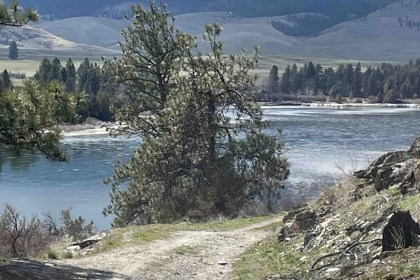
Sloan's Bridge to Old Ferry Basin Crossing
From Sloan's Bridge, you will travel this winding dirt road across numerous cattle guards, potholes, and large ruts. Along the way, you will pass through wide-open rangeland where mules and cows are present. Along the river, you will find some dispersed camping. Continue on and you will see the rema...
Learn more about Sloan's Bridge to Old Ferry Basin Crossing
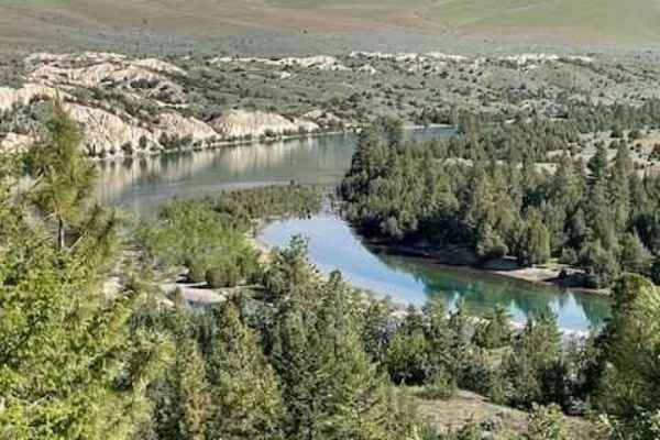
Little Bitteroot Road
Take this cutoff road for a lazy afternoon drive from one county to the next. This dusty gravel road can present washboards in some areas. During winter months, snow drifts can be a problem and snow plows are not to be depended on. The entire route can be done in 2WD in good weather. Ranchers freque...
Learn more about Little Bitteroot Road
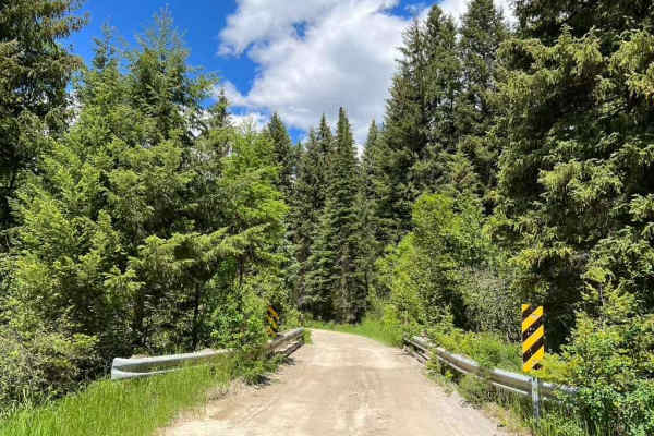
Kennedy Ridge 5507
Kennedy Ridge 5507 is an exciting mountain route ideal for high-clearance four-wheel-drive vehicles and SxSs looking for scenic vistas and access to backcountry hiking trails. Spanning 8.7 miles, this route climbs steadily from 3,656 feet to a peak elevation of 5,794 feet, starting as a well-maintai...
Learn more about Kennedy Ridge 5507
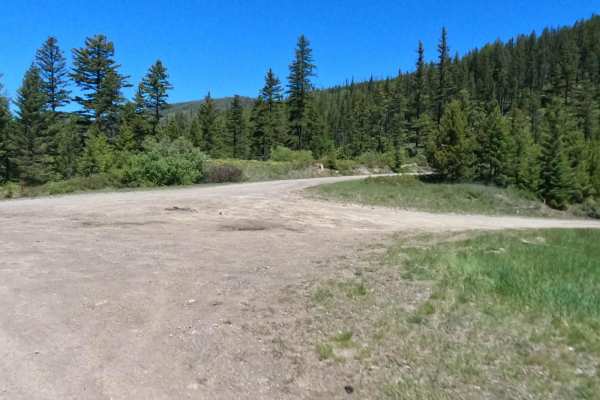
Siegel Pass-Nine Mile Rd
Route begins at the Siegel Pass intersection that joins Foothill Rd (5498), Flat Cr Rd, & Siegel Mtn. Rd. Proceed to Foothill Rd from the intersection and head east making your way to Nine Mile Rd. The route begins at an elevation of 5200' thru all forest land, down to 3700' at Nine Mile Rd. The rou...
Learn more about Siegel Pass-Nine Mile Rd
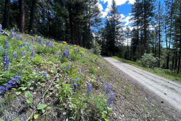
Stony Creek 2178
Stony Creek 2178 is an ideal route for offroaders seeking scenic mountain views and access to the backcountry, offering a steady climb through lush forests and vibrant spring and summer wildflowers. Spanning approximately 7 miles with a technical rating of 3, this route climbs over 1,500 feet, start...
Learn more about Stony Creek 2178
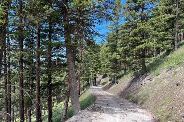
Butler Creek Loop 456
Looking for an afternoon outing with access to campsites, picnic areas, views, and light hiking? Look no further! This simple loop will take you along well-maintained gravel roads while giving you access to all that the outdoors has to offer. The road can become difficult to drive in snow but is mos...
Learn more about Butler Creek Loop 456
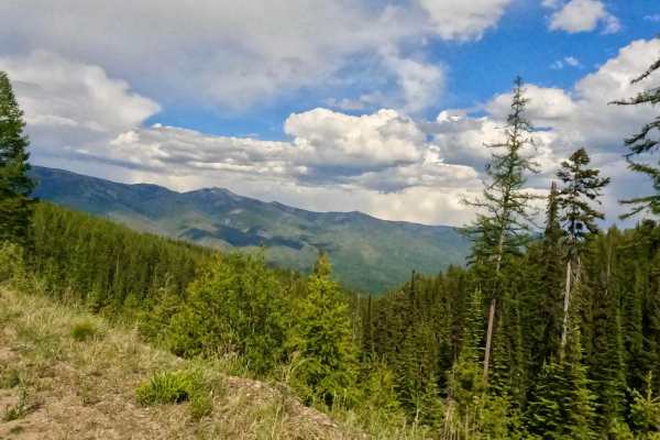
W. Nine Mile Rd (5520)-First Cr Rd (5475)
The route begins at the 3400' elevation of Nine Mile Rd and ends at the 5400' elevation of First Cr. Rd. The route passes over Nine Mile Cr. and makes its way through some private property, but mostly forest land. The route is mostly made up of dirt and gravel with many curves and embankments. The r...
Learn more about W. Nine Mile Rd (5520)-First Cr Rd (5475)
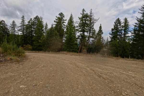
West Side Nine Mile Road
This Forest Service Route continues from FS 5520 and the intersection of FS 5475, ending at the intersection of Siegel Road. The route is mainly made up of dirt, gravel, and loose rock. It has some long straight aways and sharp blind curves. The majority of the route is two lanes with wide spaces to...
Learn more about West Side Nine Mile Road
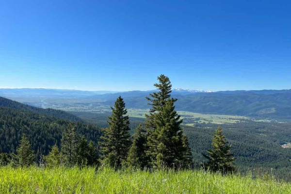
Upper Six Mile 5598 / Main Six West 4223
An easy road winding its way up Six Mile to Edith Peak. Hopefully, you're not afraid of heights as this road does narrow with steep drops, but there is plenty of room if your stomach will allow you to continue on. Snow can make this road impassable from early Fall to late Spring, but the wildflowers...
Learn more about Upper Six Mile 5598 / Main Six West 4223
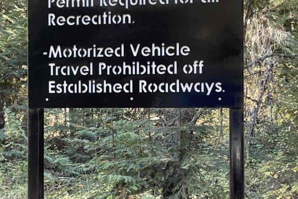
St. Marys Lake/Twin Lake Road
This is a scenic shortcut from St. Ignatius to Seeley Lake that joins into the Jocko Canyon. You will have the opportunity to pass by both St. Mary's Lake and Twin Lakes. There is camping available only to tribal members and their families. Signs are posted for this restriction. This road is 100% on...
Learn more about St. Marys Lake/Twin Lake Road
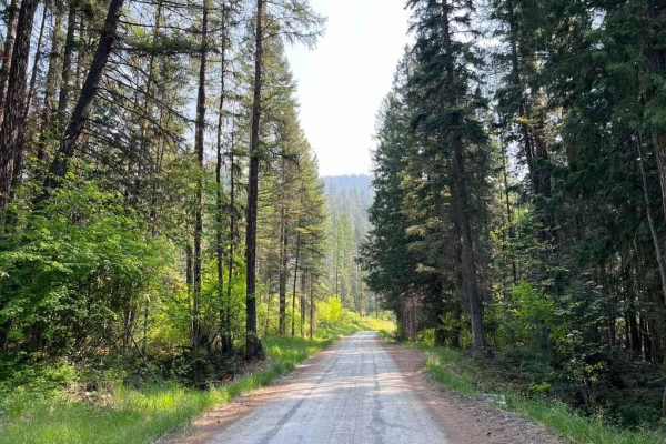
Six Mile Road (457)
This road is a beautiful climb from the Nine Mile Valley up to Edith Peak Ridge. The spring wildflowers make for spectacular views but snow often holds late into May or even into mid-June. Most of the road is well-maintained dirt with some rutting in early spring. Most of the road is a single track ...
Learn more about Six Mile Road (457)
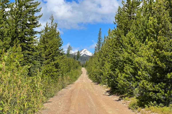
Edith Peak 476-1
Make your way up to Edith Peak and enjoy views of the valley floor below, vibrant wildflowers, and (if you're lucky) a snow-capped Ch-paa-qn Peak in spring. This road is usually buried in snow from mid-late fall through late spring and includes several stomach-turning moments where the road narrows ...
Learn more about Edith Peak 476-1
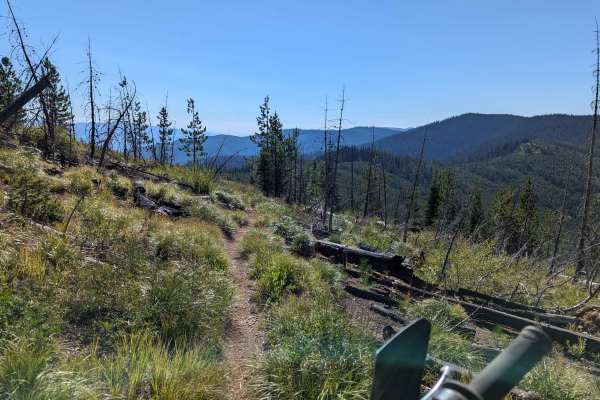
Ninemile Divide Trail
Ninemile Divide Trail is a narrow single-track dirt trail that starts and ends at dirt roads. This is only a portion of the entire Ninemile Divide Trail, which continues south of where this track ends. This trail appears to be lightly maintained, with all logs and trees cut out from the trail. There...
Learn more about Ninemile Divide Trail
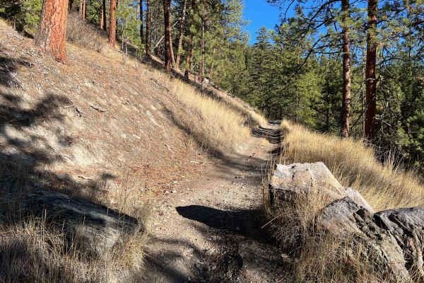
Edith Peak Trail 42
Feeling like going for a hike without all the sweat and effort? Hop on your ATV or Dirt Bike and head up Edith Peak Trail 42. Weave your way between the ponderosas and larches, shimmy your way along narrow drops to the valley below, and splash through the puddles or snow along the way. Enjoy the vie...
Learn more about Edith Peak Trail 42
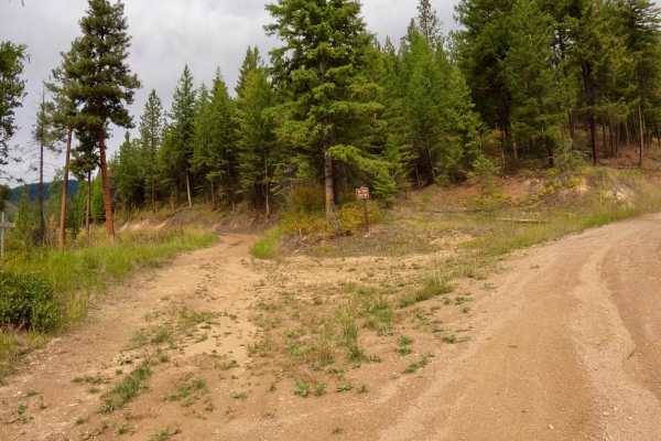
South Fork Second Creek Road-Nine Mile Divide Trailhead
The route begins from where Kings Ridge Road and South Fork of Second Creek Road meet. The route is mainly gravel but will have spots of packed dirt and grass. There are many sharp curves and drop-offs that the route passes through. The route is very scenic to both the east and west of the South For...
Learn more about South Fork Second Creek Road-Nine Mile Divide Trailhead
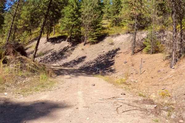
Deep Creek Road Spur Loop
The route starts just off Deep Creek Road and is mainly loose gravel with quite a bit of loose rock along the way. The majority of the route is very narrow with little room to pass another vehicle. Steep embankments and drop-offs are very close to the edge of the road. There is cell service from the...
Learn more about Deep Creek Road Spur Loop
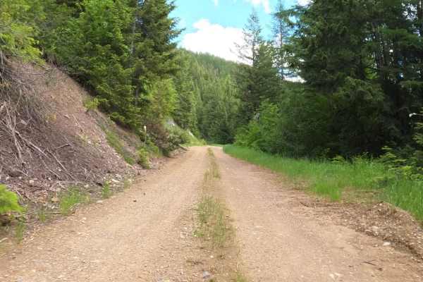
Johnson-First Creek Road-W.Side Ninemile Road
The route begins on a gravel road that is plenty wide for two vehicles to pass. The route will make a gradual climb from 4800'-6400'. Some areas of the route have been recently logged with large areas of new growth. There is a large flora of Bear Grass in the higher elevations in the early summer. T...
Learn more about Johnson-First Creek Road-W.Side Ninemile Road
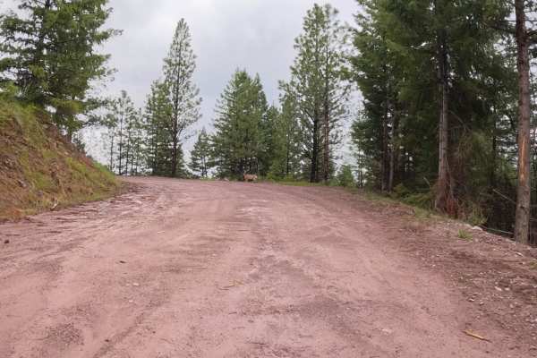
Deep Creek Road-Nemote Creek Road
The route starts as a wide 2-lane road that passes mostly thru Forest land and some Cedar Groves. The road is mostly gravel, with some loose rock, and dirt. You will pass thru a small area where logging has been recently done. The road narrows to one lane in some places and has some steep drop-offs....
Learn more about Deep Creek Road-Nemote Creek Road
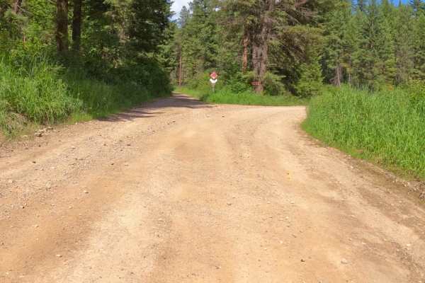
Second Creek-Kings Ridge Loop
The route starts at the South Fork of Second Creek Road, runs thru Kings Ridge Road and back to Second Creek Road. The route is mainly gravel with some parts dirt and grass. There is room to pass other vehicles along the entire route. The route takes you thru steep banks of pine and cedar with areas...
Learn more about Second Creek-Kings Ridge Loop
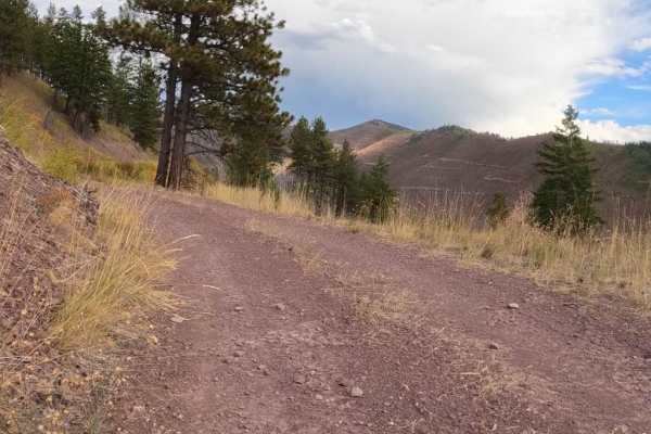
Second Creek 283 - East Fork Johnson 7882
The route begins on a two-lane gravel road that turns into an area of forest that has been logged off for several miles. There is still an active part of the route that is being logged, which is only passable from 05/16-10/14. Logging trucks could be on the route with little room to pass. The route ...
Learn more about Second Creek 283 - East Fork Johnson 7882
ATV trails near Dixon, Montana
Explore ATV-friendly trails near you. These trails are accessible for vehicles up to 50 inches wide, perfect for ATVs and smaller off-road machines.
Sloan's Bridge to Old Ferry Basin Crossing
From Sloan's Bridge, you will travel this winding dirt road across numerous cattle guards, potholes, and large ruts. Along the way, you will pass through wide-open rangeland where mules and cows are present. Along the river, you will find some dispersed camping. Continue on and you will see the rema...
Learn more about Sloan's Bridge to Old Ferry Basin Crossing
Little Bitteroot Road
Take this cutoff road for a lazy afternoon drive from one county to the next. This dusty gravel road can present washboards in some areas. During winter months, snow drifts can be a problem and snow plows are not to be depended on. The entire route can be done in 2WD in good weather. Ranchers freque...
Learn more about Little Bitteroot Road
Kennedy Ridge 5507
Kennedy Ridge 5507 is an exciting mountain route ideal for high-clearance four-wheel-drive vehicles and SxSs looking for scenic vistas and access to backcountry hiking trails. Spanning 8.7 miles, this route climbs steadily from 3,656 feet to a peak elevation of 5,794 feet, starting as a well-maintai...
Learn more about Kennedy Ridge 5507
Siegel Pass-Nine Mile Rd
Route begins at the Siegel Pass intersection that joins Foothill Rd (5498), Flat Cr Rd, & Siegel Mtn. Rd. Proceed to Foothill Rd from the intersection and head east making your way to Nine Mile Rd. The route begins at an elevation of 5200' thru all forest land, down to 3700' at Nine Mile Rd. The rou...
Learn more about Siegel Pass-Nine Mile Rd
UTV/side-by-side trails near Dixon, Montana
Find UTV and side-by-side trails near you. These trails accommodate vehicles up to 60 inches wide, ideal for UTVs, side-by-sides, and wider off-road rigs.
Sloan's Bridge to Old Ferry Basin Crossing
From Sloan's Bridge, you will travel this winding dirt road across numerous cattle guards, potholes, and large ruts. Along the way, you will pass through wide-open rangeland where mules and cows are present. Along the river, you will find some dispersed camping. Continue on and you will see the rema...
Learn more about Sloan's Bridge to Old Ferry Basin Crossing
Little Bitteroot Road
Take this cutoff road for a lazy afternoon drive from one county to the next. This dusty gravel road can present washboards in some areas. During winter months, snow drifts can be a problem and snow plows are not to be depended on. The entire route can be done in 2WD in good weather. Ranchers freque...
Learn more about Little Bitteroot Road
Kennedy Ridge 5507
Kennedy Ridge 5507 is an exciting mountain route ideal for high-clearance four-wheel-drive vehicles and SxSs looking for scenic vistas and access to backcountry hiking trails. Spanning 8.7 miles, this route climbs steadily from 3,656 feet to a peak elevation of 5,794 feet, starting as a well-maintai...
Learn more about Kennedy Ridge 5507
Siegel Pass-Nine Mile Rd
Route begins at the Siegel Pass intersection that joins Foothill Rd (5498), Flat Cr Rd, & Siegel Mtn. Rd. Proceed to Foothill Rd from the intersection and head east making your way to Nine Mile Rd. The route begins at an elevation of 5200' thru all forest land, down to 3700' at Nine Mile Rd. The rou...
Learn more about Siegel Pass-Nine Mile Rd
The onX Offroad Difference
onX Offroad combines trail photos, descriptions, difficulty ratings, width restrictions, seasonality, and more in a user-friendly interface. Available on all devices, with offline access and full compatibility with CarPlay and Android Auto. Discover what you're missing today!
Open Trail Map