
Dirt Bike Trails
Near Dixie, West Virginia
Explore All Dirt Bike Trails Near Dixie, West Virginia
Dirt Bike Trails Near Dixie, West Virginia
Discover the best dirt bike trails near you. Browse trail maps, check difficulty ratings, and find your next adventure — whether you're looking for a quick ride or an all-day expedition.
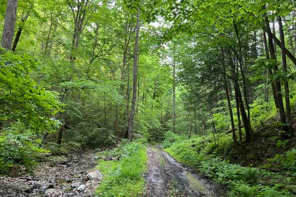
KC14
Kelly's Creek Trail 14 runs along the eastern border of the Kelly's Creek sector. For the majority of the route, the trail closely parallels Shadrick Fork (creek), and there are several shallow fordings along the way. These fordings should remain less than 12 inches except in times of heavy rain. Th...
Learn more about KC14
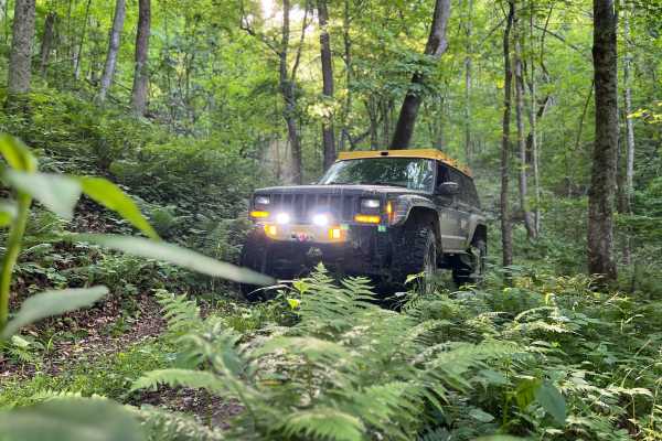
KC15A
Kelly's Creek Trail 15A is an out-and-back adventure with an interesting little surprise near the end! Keep an eye out for a small opening in the side of the mountain, down low. The entire ride is beautiful, lined with ferns and dense leaf canopy in season. The trail is narrow with almost no safe pa...
Learn more about KC15A
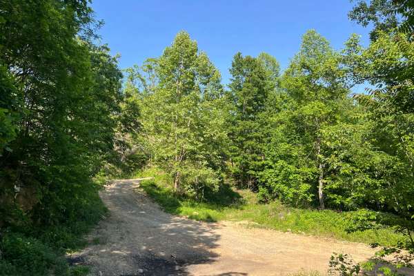
KC15
Kelly's Creek Trail 15 is an old logging road that has been cut open recently for logging operations. As such, there are some wide open views for much of the way, and the majority of the trail is open and clear. The road surface is mostly dirt, with some ruts and minor puddles. Ultimately, this trai...
Learn more about KC15
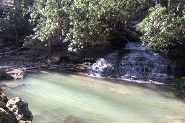
Panther Mountains
Panther Mountains is a scenic and approachable 9.6-mile route perfect for stock four-wheel-drive vehicles, SxSs, and overlanders seeking to explore the rugged heart of the Gauley River National Recreation Area. Winding through dense West Virginia hardwood forests, this trail offers an easy-going tec...
Learn more about Panther Mountains
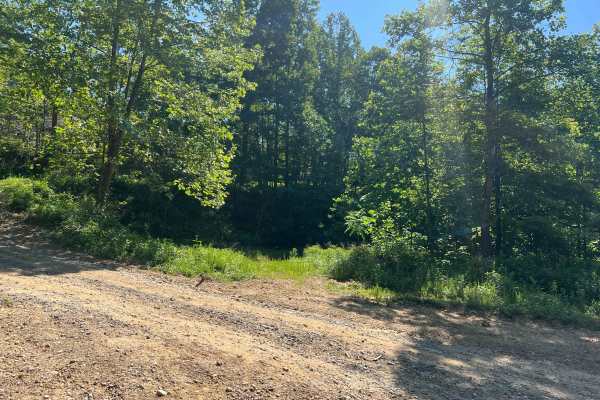
KC19
KC19 is a flat shelf road on the eastern edge of the Kelly's Creek sector of the AOT. Along the way, you will encounter some thick mud, ruts, and possible overgrown vegetation. The road surface is primarily dirt with some grass, with the majority of it being smooth and well graded. The track is wide...
Learn more about KC19
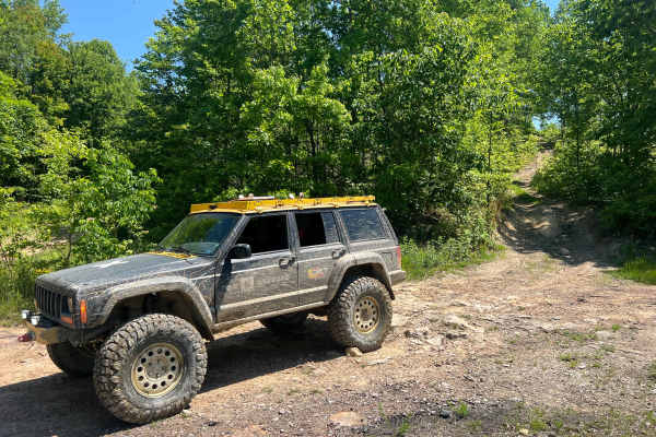
KC18
Kelly's Creek Trail 18 is a track with a lot of variety. At the KC4 end it is steep and narrow, passing along the border of a plot which was more recently timbered, giving way to some incredible views to the east. As the road departs the logging area, it becomes more densely forested and slightly sh...
Learn more about KC18
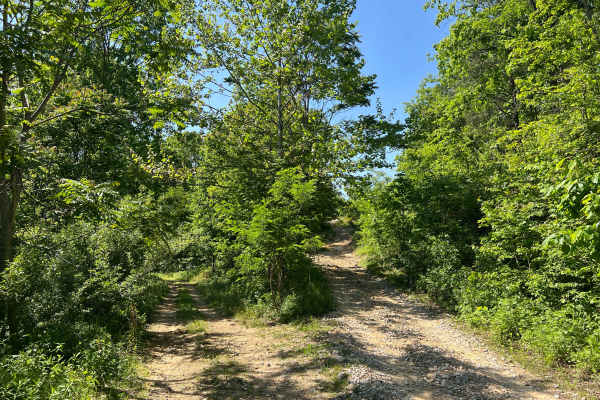
KC20
Kelly's Creek Trail 20 is a nearly 1.5-mile (each way) out-and-back adventure with access to a spur trail (KC20A) to explore as well. The track is relatively flat, with sections being a shelf road; however, the entire road is comfortably wide. There is one mud hole just past the spur, which can be q...
Learn more about KC20
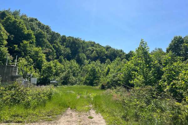
KC4B
KC4B is a short out-and-back trail to a well site with a large flat grassy area giving plenty of room to turn around. Along the route are some minor ruts/washes and mud puddles, but no real obstacles to be concerned with. The trail surface is rocky dirt, and while the road grade is wide, vegetation ...
Learn more about KC4B
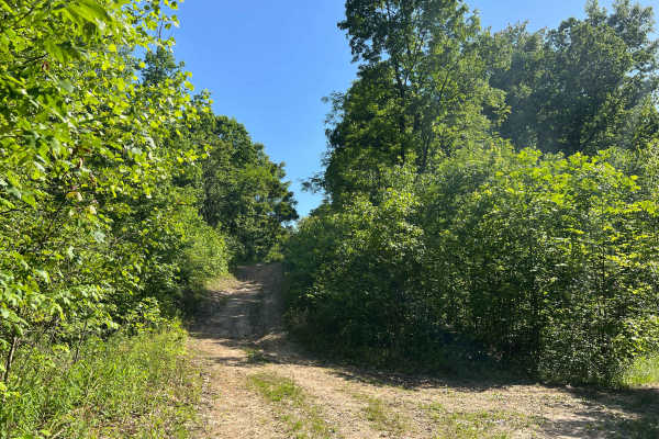
KC20A
KC20A is a short out-and-back trail to a well site with a large flat grassy area giving plenty of room to turn around. Along the route are some minor ruts and mud puddles, but no real obstacles to contend with. The trail surface is dirt, and while the road grade is wide, vegetation has grown in such...
Learn more about KC20A
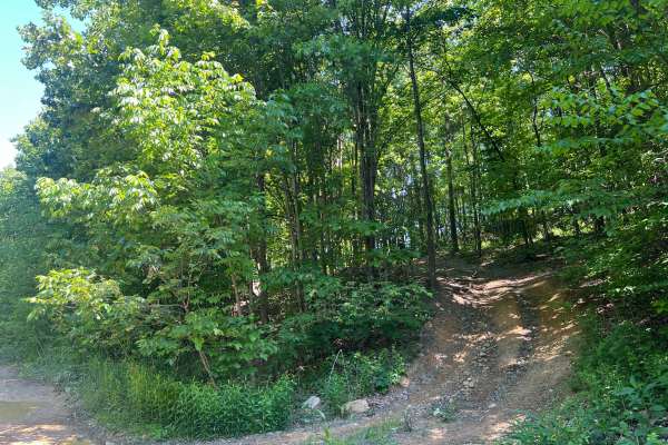
KC16
Kelly's Creek Trail 16 is a connector trail that primarily follows a pipeline right of way. Serving to connect KC4 and KC15, this narrow and rugged ride slowly changes elevation from KC4 to the top, but changes quickly on the steeper section towards KC15. The hill on the eastern end (KC15) of the tr...
Learn more about KC16
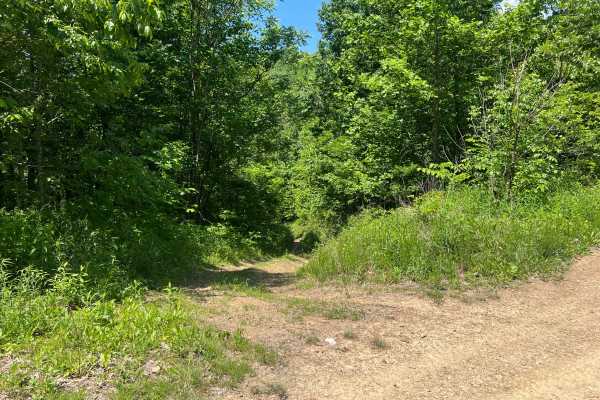
KC21 - Sugar Camp Road
Kelly's Creek Trail 21 is a nearly 1.5-mile-long (each way) out-and-back adventure beginning at KC4 and dropping in elevation from start to finish. The majority of the trail is a shelf road of varying width, with the section nearest KC4 being steep, rutted, and washed, as well as one of the narrowes...
Learn more about KC21 - Sugar Camp Road
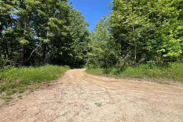
KC17
Kelly's Creek Trail 17 is a nearly one-mile-long ride out to a well site. There is one intersecting connector, which is KC7 leading down to KC5 Five Mile Road. Shortly beyond the KC7 intersection, the road ends at a well site with a large open turnaround area. The trail surface is primarily dirt, wi...
Learn more about KC17
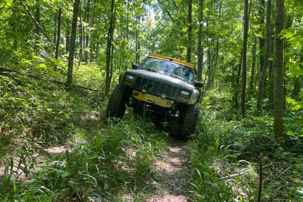
KC4A
Kelly's Creek Trail 4A is a short alternative section of KC4 that is significantly more challenging than the primary section of trail that it routes around. The entire trail is narrow, with minimal room to pass anywhere along the route. The eastern end has a segment that is moderately off camber for...
Learn more about KC4A
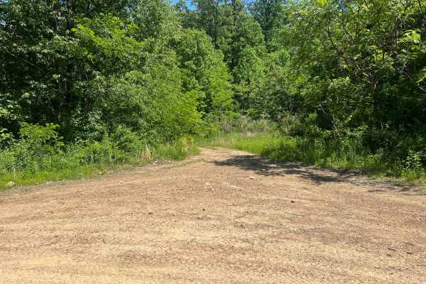
KC4C
Kelly's Creek Trail 4C is a short out-and-back adventure spur trail off of KC4. The track is a relatively flat, smooth grade with some possible ruts and minor washouts. Along the way, you may encounter some overgrown vegetation. Ultimately, this road leads to a large grassy well site with plenty of ...
Learn more about KC4C
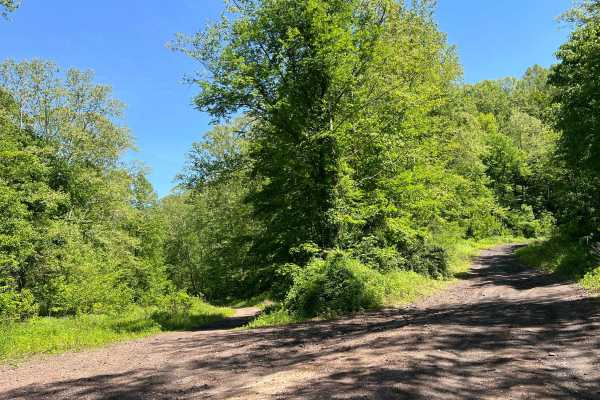
KC7
Kelly's Creek Trail 7 is a branch off of the lower section of KC5 File Mile Road. It connects KC5 to KC17 through dense hardwood forests and along some rugged terrain. There is one creek crossing along the route, which can range in depth from a dry creek bed to a 6 to 8-inch deep flow, depending on ...
Learn more about KC7
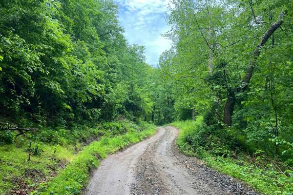
KC4
Kelly's Creek Trail 4 is an easy-to-moderate trail within the AOT. This route has several short rocky hills with loose rocks and small ledges. The trail surface is primarily dirt, with ruts and rocks scattered throughout. There is one wide section with numerous deep ruts and deep mud holes, none of ...
Learn more about KC4
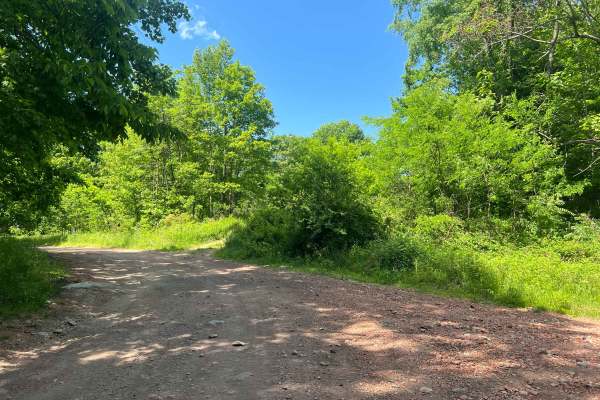
KC5 - Five Mile Road
Kelly's Creek Trail 5 is an easy, smooth trail within the AOT trail system. The trail surface is primarily gravel, with some dirt. Occasional shallow ruts and washes are expected on the sloped sections. There are some shallow puddles scattered throughout, but none are muddy. The entire road is wide ...
Learn more about KC5 - Five Mile Road
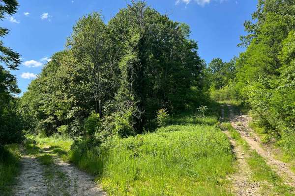
KC23A
KC23A is a short dead-end spur trail off of KC23 within the Kelly's Creek Sector of the AOT. The trail begins with a short rutted grade that is moderately washed out. The majority of the track is wide with some overgrown vegetation along the sides, making for room to pass carefully. At the end of th...
Learn more about KC23A
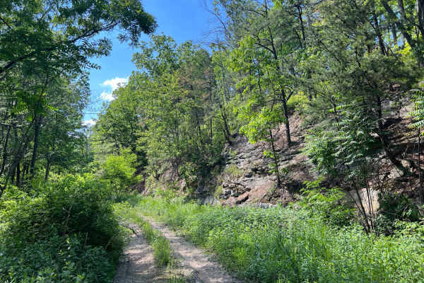
KC23
Kelly's Creek Trail 23 is an out-and-back adventure that is nearly 4 miles round trip. Elevation change is minimal from end to end, but the majority of the trail is a shelf road, hugging the contours of the rugged hillside of this very steep terrain. In a few areas, the trail is relatively narrow, a...
Learn more about KC23
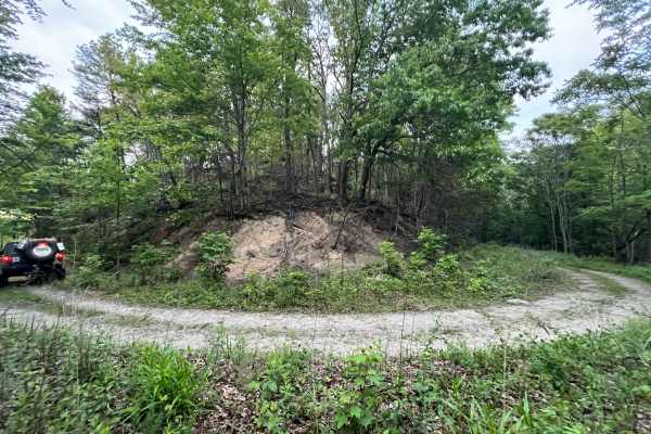
KC22
Kelly's Creek Trail 22 is a winding track that serves to connect KC3 to KC5 in the central area of the Kelly's Creek sector of the AOT. Along the route are multiple minor mud holes and ruts, none of which should pose as much of an obstacle. The majority of the trail is a shelf road; however, it is n...
Learn more about KC22
ATV trails near Dixie, West Virginia
Explore ATV-friendly trails near you. These trails are accessible for vehicles up to 50 inches wide, perfect for ATVs and smaller off-road machines.
KC14
Kelly's Creek Trail 14 runs along the eastern border of the Kelly's Creek sector. For the majority of the route, the trail closely parallels Shadrick Fork (creek), and there are several shallow fordings along the way. These fordings should remain less than 12 inches except in times of heavy rain. Th...
Learn more about KC14
KC15A
Kelly's Creek Trail 15A is an out-and-back adventure with an interesting little surprise near the end! Keep an eye out for a small opening in the side of the mountain, down low. The entire ride is beautiful, lined with ferns and dense leaf canopy in season. The trail is narrow with almost no safe pa...
Learn more about KC15A
KC15
Kelly's Creek Trail 15 is an old logging road that has been cut open recently for logging operations. As such, there are some wide open views for much of the way, and the majority of the trail is open and clear. The road surface is mostly dirt, with some ruts and minor puddles. Ultimately, this trai...
Learn more about KC15
Panther Mountains
Panther Mountains is a scenic and approachable 9.6-mile route perfect for stock four-wheel-drive vehicles, SxSs, and overlanders seeking to explore the rugged heart of the Gauley River National Recreation Area. Winding through dense West Virginia hardwood forests, this trail offers an easy-going tec...
Learn more about Panther Mountains
UTV/side-by-side trails near Dixie, West Virginia
Find UTV and side-by-side trails near you. These trails accommodate vehicles up to 60 inches wide, ideal for UTVs, side-by-sides, and wider off-road rigs.
KC14
Kelly's Creek Trail 14 runs along the eastern border of the Kelly's Creek sector. For the majority of the route, the trail closely parallels Shadrick Fork (creek), and there are several shallow fordings along the way. These fordings should remain less than 12 inches except in times of heavy rain. Th...
Learn more about KC14
KC15A
Kelly's Creek Trail 15A is an out-and-back adventure with an interesting little surprise near the end! Keep an eye out for a small opening in the side of the mountain, down low. The entire ride is beautiful, lined with ferns and dense leaf canopy in season. The trail is narrow with almost no safe pa...
Learn more about KC15A
KC15
Kelly's Creek Trail 15 is an old logging road that has been cut open recently for logging operations. As such, there are some wide open views for much of the way, and the majority of the trail is open and clear. The road surface is mostly dirt, with some ruts and minor puddles. Ultimately, this trai...
Learn more about KC15
KC19
KC19 is a flat shelf road on the eastern edge of the Kelly's Creek sector of the AOT. Along the way, you will encounter some thick mud, ruts, and possible overgrown vegetation. The road surface is primarily dirt with some grass, with the majority of it being smooth and well graded. The track is wide...
Learn more about KC19
The onX Offroad Difference
onX Offroad combines trail photos, descriptions, difficulty ratings, width restrictions, seasonality, and more in a user-friendly interface. Available on all devices, with offline access and full compatibility with CarPlay and Android Auto. Discover what you're missing today!
Open Trail Map