
Dirt Bike Trails
Near Deep River, Washington
Explore All Dirt Bike Trails Near Deep River, Washington
Dirt Bike Trails Near Deep River, Washington
Discover the best dirt bike trails near you. Browse trail maps, check difficulty ratings, and find your next adventure — whether you're looking for a quick ride or an all-day expedition.
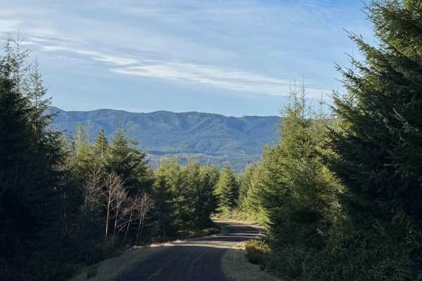
Snag and Western Lake
This route takes you to two small lakes in the forest of the Willapa Hills. There is a steady and gradual incline until you level out at the top, where the lakes are. The road is mostly gravel mixed with some dirt, and there are several deep potholes that were full of water, as well as washboard sec...
Learn more about Snag and Western Lake

A Line
Off the main trail, you will hit A Line which ends at G Line and exits the large network of trails. About half way through the trail A line turns into G Line. This trail offers a more beautiful pathway going through thick forested growth and lichen-covered trees. The trail remains a well-groomed gra...
Learn more about A Line
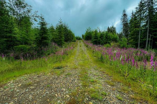
Radar Mainline
Radar Mainline is that main trail that has many offshoots to other trails within 30 minutes of Long Beach, WA. This is a relatively well groomed gravel road with few potholes and small patches of rocky areas. 2WD friendly off the main road. Plentiful campsites spotted but some required 4x4 to access...
Learn more about Radar Mainline
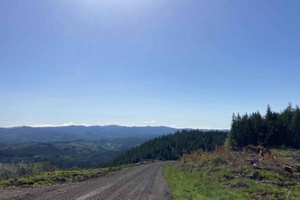
Willapa Hills
Willapa Hills is an easy, scenic 17.3-mile loop winding through lush commercial forestland in Pacific County, Washington, offering an accessible offroad experience for beginners and stock four-wheel-drive vehicles. This scenic route primarily consists of well-maintained gravel logging roads managed ...
Learn more about Willapa Hills
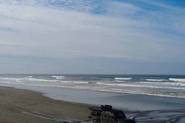
Long Beach
This is a 23-mile stretch of beach where it is allowed to drive a motor vehicle. Starting from the arch and sign for "Long Beach, The World's Longest Beach," you travel north to the end of the peninsula. The sand is loose and deep in some places, and it requires 4x4, and airing down your tires makes...
Learn more about Long Beach
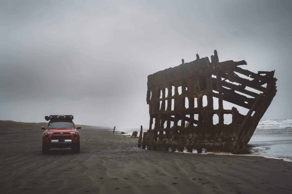
Peter Iredale Coast
This beach front trail is over ten miles of driving on beach access. Occasionally there will be driftwood logs, however for the most part it is just lovely beach driving. The entrances and exits can get a little mushy in soft sand. People are constantly getting pulled and towed out of that area afte...
Learn more about Peter Iredale Coast

Trunkline
This is the longest OHV trail in the Nicolai Mountain system at 3.4 miles. It offers a fun mix of terrain with big crisscrossing root bands, tight curves through dense forest, and embedded rocks or muddy patches. A narrow section winds through thick vegetation with low branches that will grab at UTV...
Learn more about Trunkline
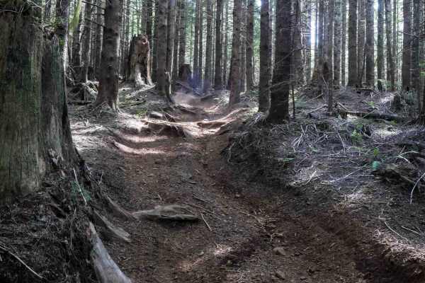
Hunt Loop
This is an easy and flowy loop that adds some extra mileage off of Hunt Creek. It's a wide OHV trail through a forest of spruce and firs for 1.2 miles. Expect some large root bands, narrower spots between the trees closely lining the trail, some deep ruts in spots, and semi-steep but manageable grad...
Learn more about Hunt Loop

Dirt Dorks
Dirt Dorks is a short half-mile loop off of Hunt Creek with deeper ruts along one or both sides of the trail. It descends for the first half of the trail, doubles back, and climbs back up. Both the descent and ascent are fairly steep, with branches reaching into the trail that can obscure visibility...
Learn more about Dirt Dorks

Hunt Hill
Hunt Hill is a short loop off of Hunt Creek that offers a moderate ride with some technical variety. When ridden counterclockwise, it begins with a mild climb featuring embedded rock, a semi-steep grade, a few tighter turns, some overgrown brush, and rutting at the top. The descent is more challengi...
Learn more about Hunt Hill

Hunt Creek
Hunt Creek is a 3-mile easy OHV trail that gently descends from south to north through dense forest. The trail features scattered loose rock, embedded root bands, and several road and wooden bridge crossings. It remains gradual throughout and provides access to Hunt Loop and Hunt Hill. Although the ...
Learn more about Hunt Creek
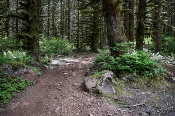
Microwave
This scenic OHV trail winds through a dense forest of mossy spruce and fir trees, with tight curves weaving between the thick trees. The trail turns fainter and more technical after crossing Cake Walk, with even tighter turns and more pronounced root bands. Though rated easy by the forest service, s...
Learn more about Microwave
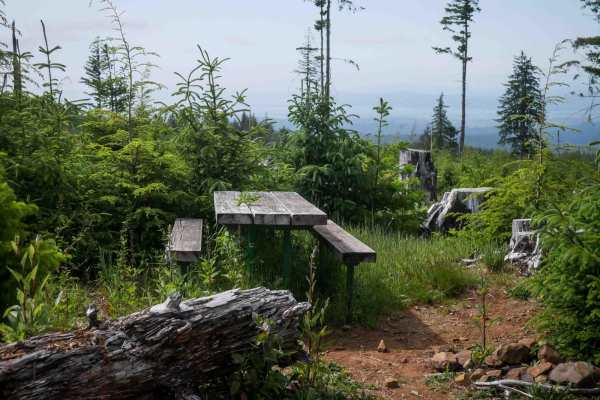
McNary Loop
McNary Loop begins on the south end with fast, flowy terrain and a smooth surface. After crossing a road, the trail becomes more technical with embedded rock, root bands, and tight turns, all while gradually descending. The trail eventually curves out onto a logged hillside, where big loose rocks ad...
Learn more about McNary Loop
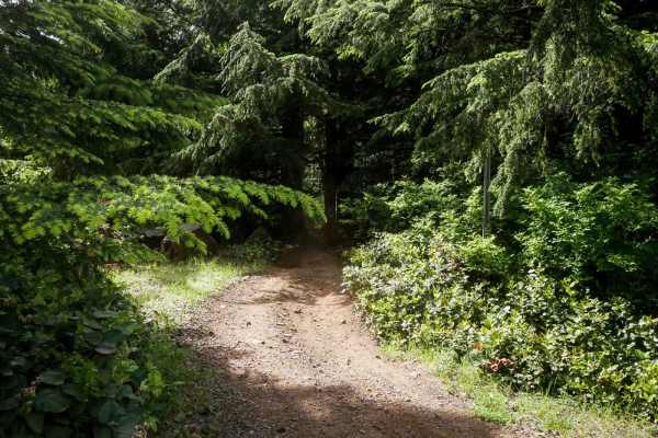
Cake Walk
Cake Walk is an easy trail, leaving from the quarry staging area and immediately presenting multiple split lines that can be a bit confusing at first. Once on the main path, the trail stays relatively easy despite frequent muddy sections, embedded and loose rock, and large root bands. The surface ha...
Learn more about Cake Walk
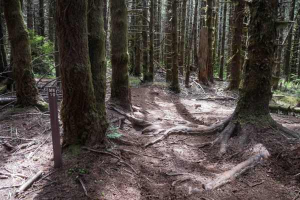
MW10
This short connector trail is less than half a mile long and offers a scenic route through thick mossy spruce trees. Similar to the terrain of Microwave, it includes muddy spots, large root bands, and a few tight pinches between trees that may be challenging for wider UTVs. There are split lines ava...
Learn more about MW10
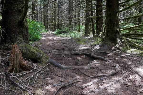
MW20
This short segment, under half a mile long, offers a moderate challenge with a mix of terrain. The trail curves through thick mossy stands of spruce and fir, with muddy sections and prominent root bands throughout. The west end features a moderate descent with loose rocks, some rutting, a steep grad...
Learn more about MW20
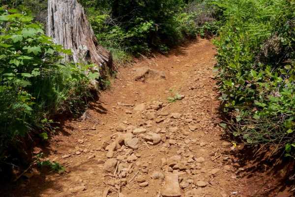
Broken Axle
This moderate OHV trail begins with a rocky descent from the north entrance, where large loose rocks fill rutted sections, creating a tricky downhill for newer riders. After the initial descent, the rocks ease up but pick back up in later turns as the trail starts climbing. Expect a few off-camber t...
Learn more about Broken Axle
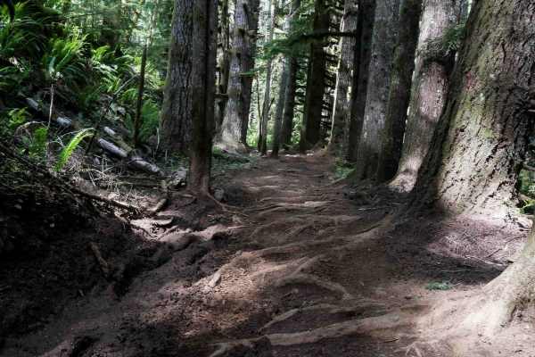
Tuck and Roll
Tuck and Roll offers a mix of easy and moderate terrain, with most of the difficulty concentrated in the north half of the trail. The southern portion is relatively smooth with scattered roots and rocks, while the northern half features a steep climb with large embedded rock layers and foot-tall roo...
Learn more about Tuck and Roll
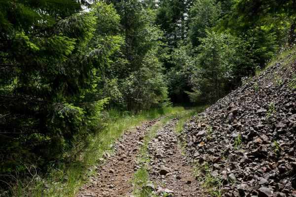
Wiggle Worm
This 1.1-mile trail begins in a grassy meadow at the north end and steeply descends the entire way south, with the steepest sections at the beginning and end. The upper section includes rutted portions with a mix of small and large loose rocks. After crossing a forest road, the trail continues to de...
Learn more about Wiggle Worm
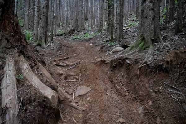
Plympton Creek
Plympton Creek is a 1.5-mile-long OHV trail that winds through a scenic forest of moss-covered spruce and fir trees. The route features tight curves, numerous big embedded and loose rocks, and several large root bands that create ledges at least a foot tall. Riders will encounter split lines weaving...
Learn more about Plympton Creek
ATV trails near Deep River, Washington
Explore ATV-friendly trails near you. These trails are accessible for vehicles up to 50 inches wide, perfect for ATVs and smaller off-road machines.
Snag and Western Lake
This route takes you to two small lakes in the forest of the Willapa Hills. There is a steady and gradual incline until you level out at the top, where the lakes are. The road is mostly gravel mixed with some dirt, and there are several deep potholes that were full of water, as well as washboard sec...
Learn more about Snag and Western Lake
A Line
Off the main trail, you will hit A Line which ends at G Line and exits the large network of trails. About half way through the trail A line turns into G Line. This trail offers a more beautiful pathway going through thick forested growth and lichen-covered trees. The trail remains a well-groomed gra...
Learn more about A Line
Radar Mainline
Radar Mainline is that main trail that has many offshoots to other trails within 30 minutes of Long Beach, WA. This is a relatively well groomed gravel road with few potholes and small patches of rocky areas. 2WD friendly off the main road. Plentiful campsites spotted but some required 4x4 to access...
Learn more about Radar Mainline
Willapa Hills
Willapa Hills is an easy, scenic 17.3-mile loop winding through lush commercial forestland in Pacific County, Washington, offering an accessible offroad experience for beginners and stock four-wheel-drive vehicles. This scenic route primarily consists of well-maintained gravel logging roads managed ...
Learn more about Willapa Hills
UTV/side-by-side trails near Deep River, Washington
Find UTV and side-by-side trails near you. These trails accommodate vehicles up to 60 inches wide, ideal for UTVs, side-by-sides, and wider off-road rigs.
Snag and Western Lake
This route takes you to two small lakes in the forest of the Willapa Hills. There is a steady and gradual incline until you level out at the top, where the lakes are. The road is mostly gravel mixed with some dirt, and there are several deep potholes that were full of water, as well as washboard sec...
Learn more about Snag and Western Lake
A Line
Off the main trail, you will hit A Line which ends at G Line and exits the large network of trails. About half way through the trail A line turns into G Line. This trail offers a more beautiful pathway going through thick forested growth and lichen-covered trees. The trail remains a well-groomed gra...
Learn more about A Line
Radar Mainline
Radar Mainline is that main trail that has many offshoots to other trails within 30 minutes of Long Beach, WA. This is a relatively well groomed gravel road with few potholes and small patches of rocky areas. 2WD friendly off the main road. Plentiful campsites spotted but some required 4x4 to access...
Learn more about Radar Mainline
Willapa Hills
Willapa Hills is an easy, scenic 17.3-mile loop winding through lush commercial forestland in Pacific County, Washington, offering an accessible offroad experience for beginners and stock four-wheel-drive vehicles. This scenic route primarily consists of well-maintained gravel logging roads managed ...
Learn more about Willapa Hills
The onX Offroad Difference
onX Offroad combines trail photos, descriptions, difficulty ratings, width restrictions, seasonality, and more in a user-friendly interface. Available on all devices, with offline access and full compatibility with CarPlay and Android Auto. Discover what you're missing today!
Open Trail Map