
Dirt Bike Trails
Near Dateland, Arizona
Explore All Dirt Bike Trails Near Dateland, Arizona
Dirt Bike Trails Near Dateland, Arizona
Discover the best dirt bike trails near you. Browse trail maps, check difficulty ratings, and find your next adventure — whether you're looking for a quick ride or an all-day expedition.
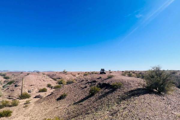
Dateland Hidden Canyon
The trail begins just north of Dateland. Turn off the tarmac onto a wide-grated dirt trail. The trail veers left, and when the trail appears to go left again, keep an eye out for the sharp right where the trail turns North. It's easy to miss. There are several private properties before it turns into...
Learn more about Dateland Hidden Canyon
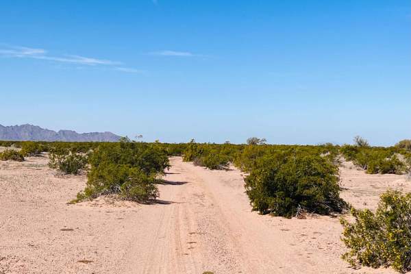
El Camino Del Sol to Dateland Hidden Canyon
This is a fun trail if you want to bop around in the middle of the desert but avoid getting lost and eventually find a neat little canyon. The trail connects from the frontage road that runs along the 8 freeway just west of Dateland. The trail begins as a wide gravel and dirt trail heading towards s...
Learn more about El Camino Del Sol to Dateland Hidden Canyon
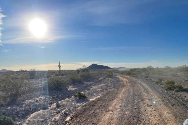
AZ Peace Trail The Solar Field to Red Raven
This section of the Arizona Peace Trial runs from the short tarmac section on Hyder road into the network of trails at the Red Raven intersection. This section is camping central and, in many parts, has two parallel routes in which to be able to pass oncoming traffic easily. Loads of cell coverage a...
Learn more about AZ Peace Trail The Solar Field to Red Raven
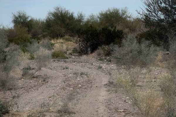
Ye701
This is an almost 3-mile-long primitive trail through BLM land north of Palomas, Arizona. It goes through a wash that is sandy and pebbly. There are lots of tracks to follow for most of the route, but there are also many unmarked splits in the wash where the trail makes a turn or an exit into a diff...
Learn more about Ye701

Sonoran Desert Flats
This is a primitive and unmarked desert trail through the BLM land north of Palomas, Arizona, for just over a mile. The trail is road-width, meandering through creosote bushes and a barren desert landscape, with distant views of a rugged desert mountain range. The trail is uneven ground, frequently ...
Learn more about Sonoran Desert Flats
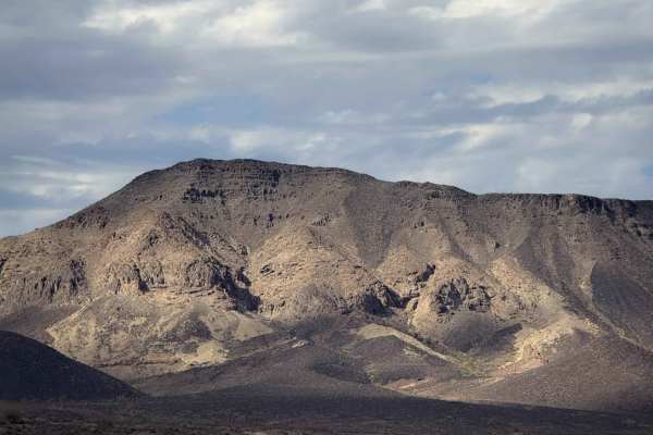
Hoodoo Spur
This is an unmarked and primitive desert trail through the BLM Land north of Palomas, Arizona. It is road-width, meandering across flat and barren desert terrain that is a mix of dirt and packed loose rocks. It passes by tons of creosote bushes, but not much else. When riding north, you get views of...
Learn more about Hoodoo Spur

Sonoran Spur
This is a remote and primitive desert trail that spurs off of a main track. It is very faint and less trafficked, without as many tracks in the ground to follow, and it’s easy to mistakenly get off track. You’ll want a GPS map out here to make sure you stay on track. It winds across a barren landsca...
Learn more about Sonoran Spur
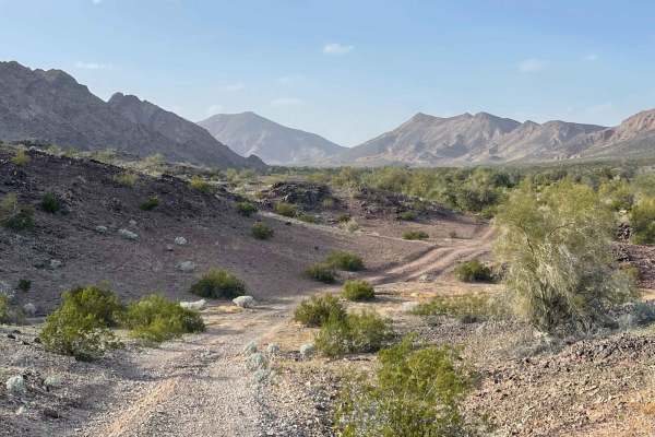
Palomas Flats
This is the main access route to get back toward the Paloma mountains area that borders the Naval Warfare Range. The trail begins in farmland access passing right by the WWII memorial for the 81st infantry division of 1943. "The Wildcats" Once past this pyramid-shaped memorial, there is a decently g...
Learn more about Palomas Flats
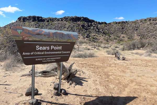
Sears Point
This mostly easy out-and-back trail leads to a beautiful Archaeological site that is also a point of critical environmental concern. Plenty of informational kiosks in the area explain why this petroglyph site is important and needs preservation. The trail passes through private and public lands; ple...
Learn more about Sears Point
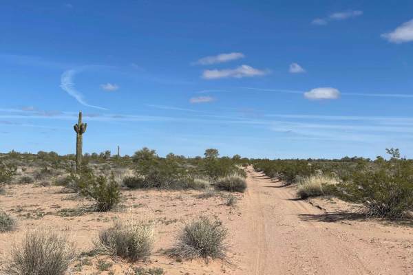
Eastern Entrance for Sears Point
This Eastern access route for Sears Point is the more adventurous of the two ways to access the site. It begins at the east from South Agua Caliente road and heads west across the desert. It twists and turns its way through fields of Lava rock and loose, sandy, silty sections. A wire livestock gate ...
Learn more about Eastern Entrance for Sears Point
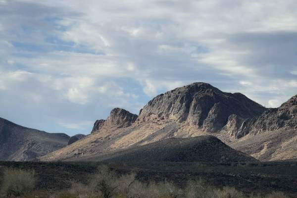
Sonoran Flats
This is a short route through the BLM land north of Palomas, Arizona. It is unmarked, but has lots of tracks to follow. It is mostly just a road-width route across flat and barren desert terrain. It rides at the base of a rugged mountain range, but stays in the flat valley the whole time, riding thr...
Learn more about Sonoran Flats
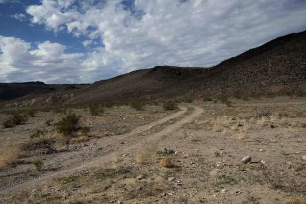
Ye705
This is a remote route through BLM land north of Palomas, Arizona. The trail is unmarked and follows a road-width dirt route through a low laying desert valley. It passes creosote bushes and mesquite trees, but otherwise is a pretty barren landscape, riding at the base of some rolling hills. The tra...
Learn more about Ye705
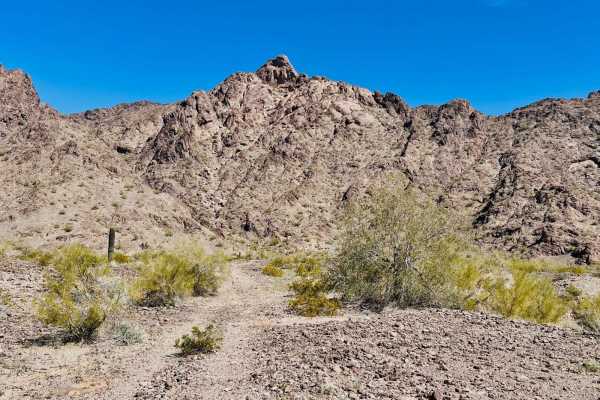
Rennir Mountain - Old Highway 80
The trail is located off Old Highway 80, and the turn comes up quickly, so keep your eyes out for it. This area is a beautiful little mountain landscape with lovely campsite options close to the 8 freeway. Access to the trail and camping is through private property, with no gates or signs, but pleas...
Learn more about Rennir Mountain - Old Highway 80
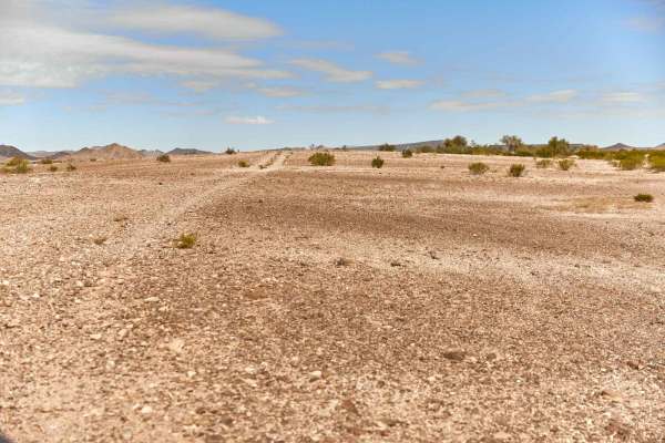
AZ Route 67
AZ Route 67 is a rocky two-track that bobs and weaves its way through a section of BLM land near the Palomas Mountains. This trail is relatively simple, though at times finding the trail might prove challenging as the area is being reclaimed by nature because it is so remote. Along the drive, you'll...
Learn more about AZ Route 67
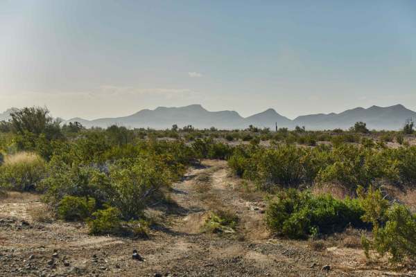
Palomas Trail - 083
Palomas Trail - 083 is a long and winding two-track that rolls through the Palomas Mountains of Southwest Arizona. This trail is sometimes well-marked and other times non-existent, so having offline maps is highly encouraged. Along this route, you'll see old mining equipment donated to the sands of ...
Learn more about Palomas Trail - 083

AZ Peace Trail Salome to Yuma
This is a very sandy and silt-covered trail in parts. These sections are short--100 yards, give or take--and can be questionable if you stop. Only in one area does it get soft enough to make steering compromised. There are a few steep inclines of 18-24 inches with a quick climb back up. Smaller SUVs...
Learn more about AZ Peace Trail Salome to Yuma
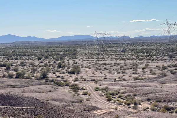
AZPT Muggins Mountain to the Train Tracks
What a beautiful section of the Arizona Peace Trail. The majority of this route is straightforward and twisty cruising fun until it isn't. The trail heads from the abandoned rail tracks in the east all the way to the Muggins Mountain entrance trail. The hilly, twisty section is a blast in a faster r...
Learn more about AZPT Muggins Mountain to the Train Tracks
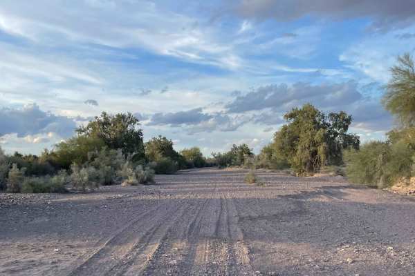
Mid Hoodoo Wash
This loose sandy out and back is a blast to cruise down. There are wide open sections with soft sand and narrow rockier short rock gardens. The route has some abrupt transitions with hills and drops and loose climbs. The trail gets narrow and will undoubtedly add some fresh Arizona pinstripes to you...
Learn more about Mid Hoodoo Wash
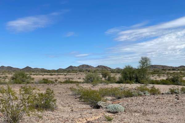
Coyote Mine Road
The maps show that the Coyote Mine is also by this road. However, no evidence of the actual mine could be found upon exploration. But with a fun side spur, one can explore the Golden Harp Mine trail. This one has a few larger open mine shafts and some areas of artifact piles aka old trash. Please do...
Learn more about Coyote Mine Road
Golden Harp Mine
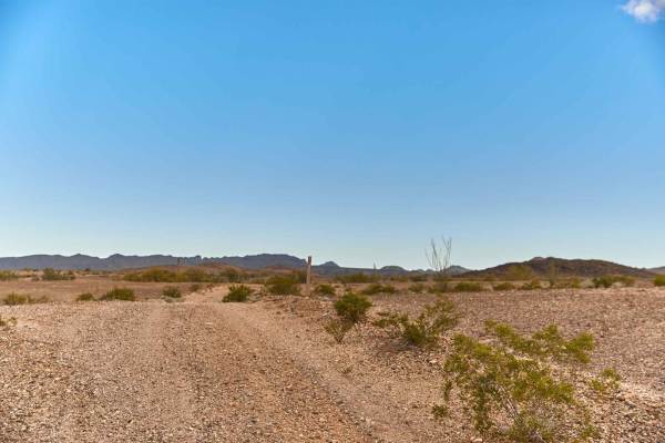
Golden Harp Mine Road is a rock two-track that winds and weaves its way through the Golden Harp Mining Claim. This road is rocky hard packed and crosses multiple washes that might prove treacherous during the rainy season. You'll find the entries and exits of these washes provide full articulation a...
Learn more about Golden Harp Mine
ATV trails near Dateland, Arizona
Explore ATV-friendly trails near you. These trails are accessible for vehicles up to 50 inches wide, perfect for ATVs and smaller off-road machines.
Dateland Hidden Canyon
The trail begins just north of Dateland. Turn off the tarmac onto a wide-grated dirt trail. The trail veers left, and when the trail appears to go left again, keep an eye out for the sharp right where the trail turns North. It's easy to miss. There are several private properties before it turns into...
Learn more about Dateland Hidden Canyon
El Camino Del Sol to Dateland Hidden Canyon
This is a fun trail if you want to bop around in the middle of the desert but avoid getting lost and eventually find a neat little canyon. The trail connects from the frontage road that runs along the 8 freeway just west of Dateland. The trail begins as a wide gravel and dirt trail heading towards s...
Learn more about El Camino Del Sol to Dateland Hidden Canyon
AZ Peace Trail The Solar Field to Red Raven
This section of the Arizona Peace Trial runs from the short tarmac section on Hyder road into the network of trails at the Red Raven intersection. This section is camping central and, in many parts, has two parallel routes in which to be able to pass oncoming traffic easily. Loads of cell coverage a...
Learn more about AZ Peace Trail The Solar Field to Red Raven
Ye701
This is an almost 3-mile-long primitive trail through BLM land north of Palomas, Arizona. It goes through a wash that is sandy and pebbly. There are lots of tracks to follow for most of the route, but there are also many unmarked splits in the wash where the trail makes a turn or an exit into a diff...
Learn more about Ye701
UTV/side-by-side trails near Dateland, Arizona
Find UTV and side-by-side trails near you. These trails accommodate vehicles up to 60 inches wide, ideal for UTVs, side-by-sides, and wider off-road rigs.
Dateland Hidden Canyon
The trail begins just north of Dateland. Turn off the tarmac onto a wide-grated dirt trail. The trail veers left, and when the trail appears to go left again, keep an eye out for the sharp right where the trail turns North. It's easy to miss. There are several private properties before it turns into...
Learn more about Dateland Hidden Canyon
El Camino Del Sol to Dateland Hidden Canyon
This is a fun trail if you want to bop around in the middle of the desert but avoid getting lost and eventually find a neat little canyon. The trail connects from the frontage road that runs along the 8 freeway just west of Dateland. The trail begins as a wide gravel and dirt trail heading towards s...
Learn more about El Camino Del Sol to Dateland Hidden Canyon
AZ Peace Trail The Solar Field to Red Raven
This section of the Arizona Peace Trial runs from the short tarmac section on Hyder road into the network of trails at the Red Raven intersection. This section is camping central and, in many parts, has two parallel routes in which to be able to pass oncoming traffic easily. Loads of cell coverage a...
Learn more about AZ Peace Trail The Solar Field to Red Raven
Palomas Flats
This is the main access route to get back toward the Paloma mountains area that borders the Naval Warfare Range. The trail begins in farmland access passing right by the WWII memorial for the 81st infantry division of 1943. "The Wildcats" Once past this pyramid-shaped memorial, there is a decently g...
Learn more about Palomas Flats
The onX Offroad Difference
onX Offroad combines trail photos, descriptions, difficulty ratings, width restrictions, seasonality, and more in a user-friendly interface. Available on all devices, with offline access and full compatibility with CarPlay and Android Auto. Discover what you're missing today!
Open Trail Map