
Dirt Bike Trails
Near Coyote, New Mexico
Explore All Dirt Bike Trails Near Coyote, New Mexico
Dirt Bike Trails Near Coyote, New Mexico
Discover the best dirt bike trails near you. Browse trail maps, check difficulty ratings, and find your next adventure — whether you're looking for a quick ride or an all-day expedition.
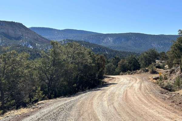
Coyote Camp Run
Beautiful scenic canyon drive to the Coyote Canyon Camping Area. The route is a maintained gravel/dirt road that starts in the town of Coyote, New Mexico. The route takes you south approximately 6.5 miles ending at a designated campground. In early spring and winter, riders can expect possible snow ...
Learn more about Coyote Camp Run
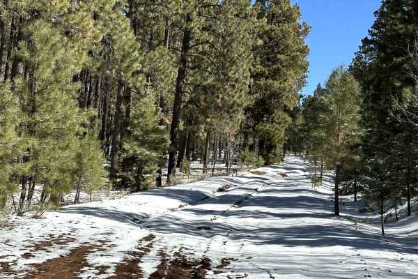
Pinabetosa Water Break
At the end of the trail, there are beautiful views of the surrounding red mesas and mountaintops. The route is an unmaintained dirt road that breaks off from FR316. During rain/snow conditions, the route is very slick with ruts throughout the canyon portion of the trail. During snowy conditions, the...
Learn more about Pinabetosa Water Break
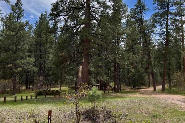
FR 317 Hey Bear?
This rocky route travels along Coyote Creek on the western side and then climbs steeply through thick scrub oak to ponderosa pine meadows on the eastern side where it meets FR 100. The scrub oak is prime Bear habitat. Bear tree markings and scat are frequently seen and sometimes a Black Bear on occa...
Learn more about FR 317 Hey Bear?
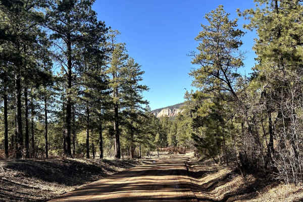
FR103 Run to Rio Puerco
This route begins at the start of FR103 from New Mexico Highway 96. The route is a maintained dirt/gravel road that will take the rider south past the Resumidero Campground route and ending at the Rio Puerco Campground. The area can experience heavy snow drifts and mud when rain/snow moves through t...
Learn more about FR103 Run to Rio Puerco
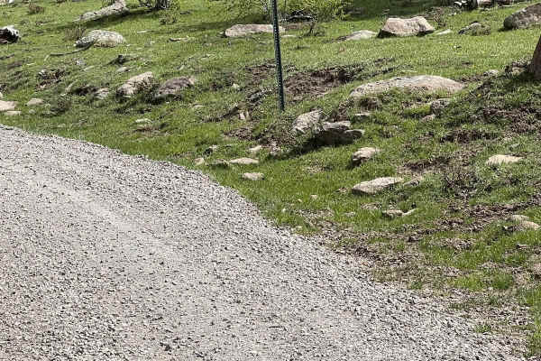
Burny Cole Point - FR 99
This route has incredible views near FR 144 of Canones Creek and in the distance of Abiquiu Valley. The elevation is over 10,000 feet at the highest point. Two local wildland firefighters named this trail in remembrance of their Australian Shepards, Burny and Coal. Ironically, numerous forest fires ...
Learn more about Burny Cole Point - FR 99
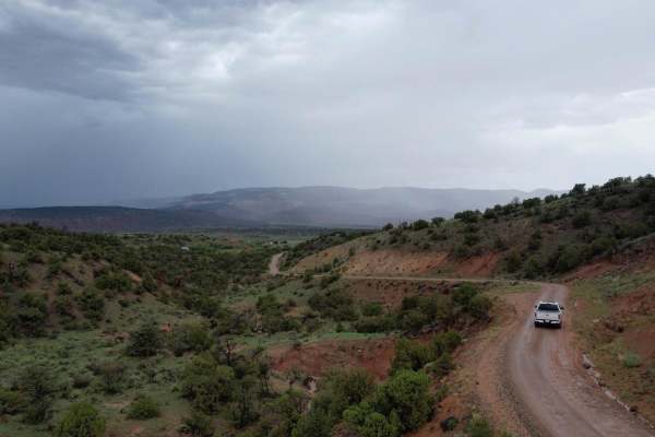
Encino Mountain Trail
This trail takes you up into the Santa Fe National Forest. This is an easy trail for most with AWD or 4WD. Make sure you have gas as this is a vast mountain range where you can drive all the way to Espanola if you want. We did the trek as a (pass-through) starting on the Clara Peak Trail and then tu...
Learn more about Encino Mountain Trail

Agua Sarca - FR 172
This route is well-maintained and is an easy shortcut to get to FR 103 from Highway 96 and vice versa. There are some dispersed camping spots along the way. There are some private properties, but they are marked and fenced. The road is wide but does have soft shoulders and erosion issues along the e...
Learn more about Agua Sarca - FR 172
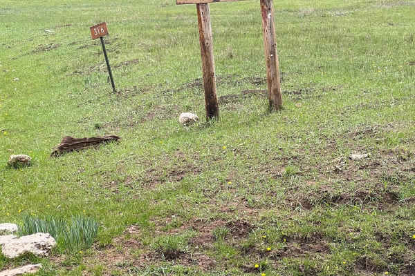
FR 316 Coyote Canyon
This easy route connects the Coyote Canyon Camping area with FR 103 Mountain Escape. It travels through an incredible ponderosa pine forest that still shows the burn scars of the Diego Fire in 2014. The west side of this trail has some open meadows, with a few dispersed camping spots, as it connects...
Learn more about FR 316 Coyote Canyon
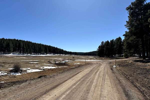
Run to Rio Puerco Campground
The route begins from FR316 and travels along FR103 to the Rio Puerco Campground. The route is a maintained Forest Service road consisting of dirt/gravel. During the spring/winter, the route will have north-facing areas that contain snow drifts and areas of slick mud. The campground is a non-fee rem...
Learn more about Run to Rio Puerco Campground
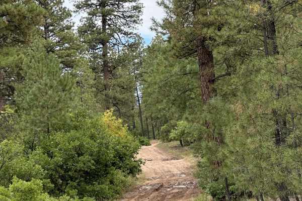
FR 461 Scrub Oak Loop
This rough, narrow, and rocky trail travels through the thick scrub oak along the eastern boundary of the San Pedro Parks Wilderness. If the trail is wet, some places become slick mud. The acorns from the scrub oak and lush grass attract Elk and Bears to this area. There are numerous animal tracks a...
Learn more about FR 461 Scrub Oak Loop
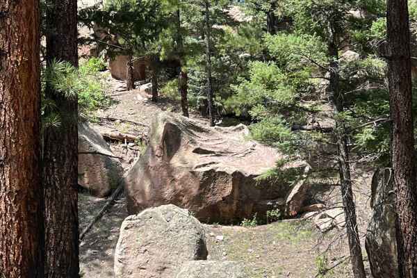
Boulder Wash - FR 451
The "road less traveled" describes this peaceful, unique high mountain trail. The peacefulness is due to the trail being sheltered from the wind and the uniqueness is due to the gigantic boulders that line your way. If you hike through the boulders to the west, breathtaking views can be seen. At the...
Learn more about Boulder Wash - FR 451
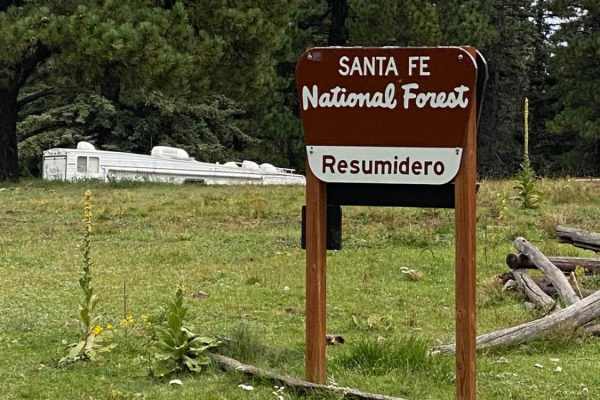
Resumidero Meadow Camping
This short, easy route takes off from Forest Road 103. It leads to gorgeous alpine meadows and dispersed primitive camping at 9,000 feet in elevation. The camp area is a great staging area to explore the northwest side of the Jemez mountains. The San Pedro Peaks Wilderness is accessible for backpack...
Learn more about Resumidero Meadow Camping
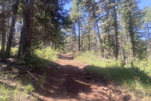
Canada Ojitos
This is an awesome trail that can be driven in both directions, with offshoots to other trails. The trail is single-vehicle width with only a few places to pass. It features numerous washes, mud holes when wet, and small to medium rocks. The trail can get off-camber at times and becomes steep in eit...
Learn more about Canada Ojitos
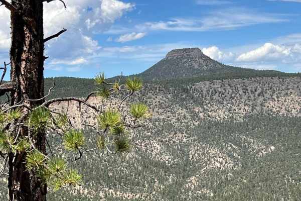
View Point - FR 449 V
This trail is rough with rocks, mud holes, ruts, and erosion issues. There are a number of off-camber spots. Ponderosa Pine trees and branches narrow the trail. It is not a well-traveled trail. At the end, a short walk leads to breathtaking views of Cerro Pedernal and the Abiquiu Valley.
Learn more about View Point - FR 449 V
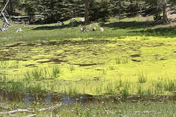
Green Pond - FS 453C
This is a shortcut trail from FR 453 Mesa del Ojo to FR 315- Easy Cruise. It shaves off almost five miles. It is short but exciting with some uneven bedrock, boulders, erosion ruts, and mud holes. A lime green, yucky pond is on the east side of the route.
Learn more about Green Pond - FS 453C
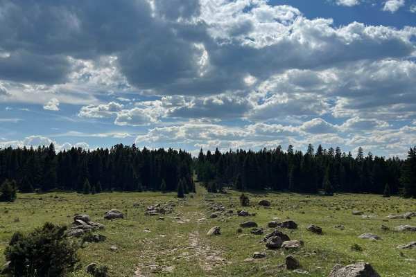
FR 99N Gemstone Shortcut
This is a peaceful rocky shortcut with boulders bordering the trail. The rocks look like they are waiting to be cut into gems. The route is faint in spots and not well-traveled. Some of the mud holes can be avoided. It connects FR 100 Encino and FR 99 Burny and Cole Point and saves over 6 miles as a...
Learn more about FR 99N Gemstone Shortcut
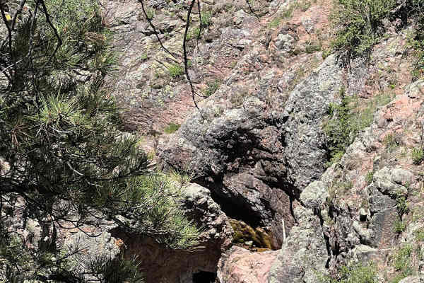
Resumidero Falls
This trail follows FR 93 and connects to FR 93 Resumidero Meadow Camping and either FR 93 Diego Springs or FR 91 San Pedro Mountain Views. It is an easy trail that has a pull-off area for a few vehicles to park and view the spectacular Resumidero Falls. The water has carved a hole directly through t...
Learn more about Resumidero Falls
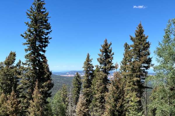
San Pedro Mountain Views - FS 91
This route has steep, challenging, rocky ascents on both ends with the northern end complicated with erosion and mud holes. Gorgeous views of Coyote Canyon can be seen about 2 1/2 miles from the north end of the route on a switchback turn. The middle part of the route is level with open meadows and ...
Learn more about San Pedro Mountain Views - FS 91
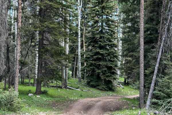
FR 93 Diego Springs
This route travels through the dense forest on the north side of Cerro Jarocito, which stands at over 9,800 feet, from FR 93 Resumidero Falls to FR 93 Red Mud Rumble. A few wildfires have scarred the forest, but it is coming back to life. There are a few spots with gorgeous views of Pedernal Peak. P...
Learn more about FR 93 Diego Springs
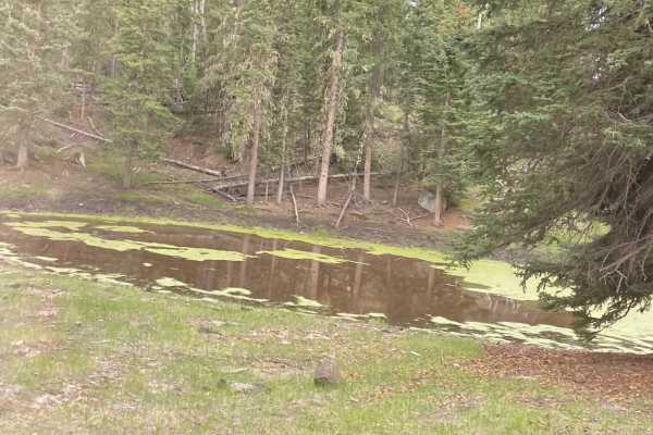
Mesa del Ojo - FS 453
This trail connects FR 315- Easy Cruise with FR 316- Coyote Canyon. It travels through dense forests and open meadows. Majestic Ponderosa Pine trees tower 150 feet in the air slightly higher than the fir and spruce trees along this beautiful, peaceful, and easy route. There are a few mud holes and e...
Learn more about Mesa del Ojo - FS 453
ATV trails near Coyote, New Mexico
Explore ATV-friendly trails near you. These trails are accessible for vehicles up to 50 inches wide, perfect for ATVs and smaller off-road machines.
Coyote Camp Run
Beautiful scenic canyon drive to the Coyote Canyon Camping Area. The route is a maintained gravel/dirt road that starts in the town of Coyote, New Mexico. The route takes you south approximately 6.5 miles ending at a designated campground. In early spring and winter, riders can expect possible snow ...
Learn more about Coyote Camp Run
Pinabetosa Water Break
At the end of the trail, there are beautiful views of the surrounding red mesas and mountaintops. The route is an unmaintained dirt road that breaks off from FR316. During rain/snow conditions, the route is very slick with ruts throughout the canyon portion of the trail. During snowy conditions, the...
Learn more about Pinabetosa Water Break
FR 317 Hey Bear?
This rocky route travels along Coyote Creek on the western side and then climbs steeply through thick scrub oak to ponderosa pine meadows on the eastern side where it meets FR 100. The scrub oak is prime Bear habitat. Bear tree markings and scat are frequently seen and sometimes a Black Bear on occa...
Learn more about FR 317 Hey Bear?
FR103 Run to Rio Puerco
This route begins at the start of FR103 from New Mexico Highway 96. The route is a maintained dirt/gravel road that will take the rider south past the Resumidero Campground route and ending at the Rio Puerco Campground. The area can experience heavy snow drifts and mud when rain/snow moves through t...
Learn more about FR103 Run to Rio Puerco
UTV/side-by-side trails near Coyote, New Mexico
Find UTV and side-by-side trails near you. These trails accommodate vehicles up to 60 inches wide, ideal for UTVs, side-by-sides, and wider off-road rigs.
Coyote Camp Run
Beautiful scenic canyon drive to the Coyote Canyon Camping Area. The route is a maintained gravel/dirt road that starts in the town of Coyote, New Mexico. The route takes you south approximately 6.5 miles ending at a designated campground. In early spring and winter, riders can expect possible snow ...
Learn more about Coyote Camp Run
Pinabetosa Water Break
At the end of the trail, there are beautiful views of the surrounding red mesas and mountaintops. The route is an unmaintained dirt road that breaks off from FR316. During rain/snow conditions, the route is very slick with ruts throughout the canyon portion of the trail. During snowy conditions, the...
Learn more about Pinabetosa Water Break
FR 317 Hey Bear?
This rocky route travels along Coyote Creek on the western side and then climbs steeply through thick scrub oak to ponderosa pine meadows on the eastern side where it meets FR 100. The scrub oak is prime Bear habitat. Bear tree markings and scat are frequently seen and sometimes a Black Bear on occa...
Learn more about FR 317 Hey Bear?
FR103 Run to Rio Puerco
This route begins at the start of FR103 from New Mexico Highway 96. The route is a maintained dirt/gravel road that will take the rider south past the Resumidero Campground route and ending at the Rio Puerco Campground. The area can experience heavy snow drifts and mud when rain/snow moves through t...
Learn more about FR103 Run to Rio Puerco
The onX Offroad Difference
onX Offroad combines trail photos, descriptions, difficulty ratings, width restrictions, seasonality, and more in a user-friendly interface. Available on all devices, with offline access and full compatibility with CarPlay and Android Auto. Discover what you're missing today!
Open Trail Map