
Dirt Bike Trails
Near Congress, Arizona
Explore All Dirt Bike Trails Near Congress, Arizona
Dirt Bike Trails Near Congress, Arizona
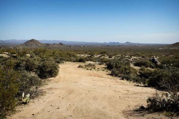
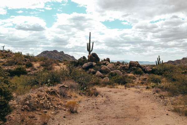
Discover the best dirt bike trails near you. Browse trail maps, check difficulty ratings, and find your next adventure — whether you're looking for a quick ride or an all-day expedition.
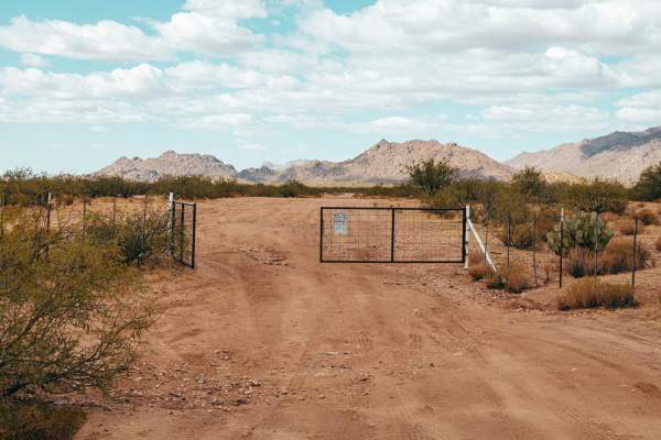
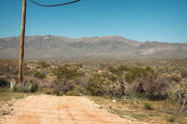
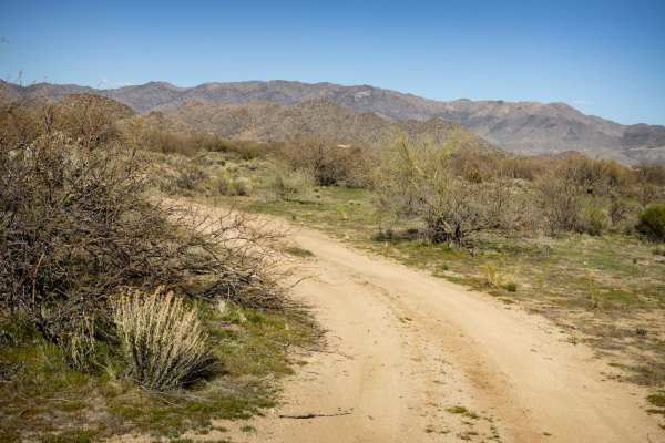
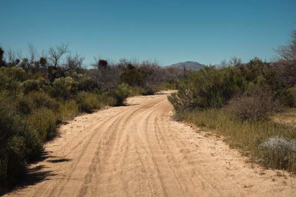
Land Trust Cutoff
The Land Trust Cutoff Trail starts on its Eastern end with access straight from the pavement. This section of trail cuts through Arizona State Land Trust and requires a permit to access, which can be bought online. This trail has numerous sections of water damage, washouts, and erosion. Wash crossin...
Learn more about Land Trust Cutoff
Across the Top
Across the Top is a great trail for practicing your wash crossings! The obstacle game here includes numerous crossings with some erosion mixed in. Other than that, there are no major obstacles, though the washes may prove problematic during or after a rain event. Typical to the area, there are cattl...
Learn more about Across the Top
Burton Tank
Burton Tank is a quick trail with no obstacles on it. There is a major wash crossing but it appears to have been graded and smoothed as of early March 2024. There are cattle in the area, so caution is urged, but the majority of this trail is smooth and safe. There are large grassy areas that would b...
Learn more about Burton Tank
Southbound and Down
Southbound and Down starts wide and is a smooth trail that narrows as it runs south along the eastern border of this section of Arizona State Trust Land. This trail is lined with creosote and cactus, which at some points guarantee paint damage. This trail has multiple wash crossings with steep entra...
Learn more about Southbound and Down
Power Pull
What seems like just another Powerline Road, isn't. The highlight of this trail is a steep hill toward the western end. This hill has a combination of off-camber, loose rock, and erosion that might make it challenging after a rain or snow event. Along the way, there are wash crossings with steep ent...
Learn more about Power Pull
Rock Block Passthrough
Rock Block Passthrough is mellow, with only one obstacle being a wash crossing with a steep entrance and exit. The south end of the trail is blocked by large rocks, placed in the trail to deter further progress. On the north end, the trail has been reclaimed by nature, but it intersects with another...
Learn more about Rock Block Passthrough
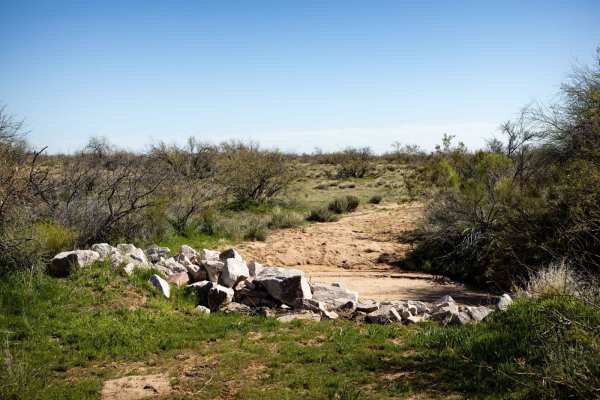
The Blocked Wash
The Blocked Wash is a fun run until it isn't. The wash on the south end is blocked by large debris piles that may be impassable. The wash is filled with soft, deep sand, so 4x4 is a must for this trail. There are no obstacles on this trail, but there is some washboard in the wash, so it seems well-t...
Learn more about The Blocked Wash
Cinch's Cutoff
Cinch's Cutoff is a dirt two-track that winds and rolls between the washes and creosote outcroppings that form this area. Mostly open, this has narrow spots, but nothing too gnarly. There are no obstacles on this trail and at the south end, it dumps out onto a wide dirt road that leads up to the bac...
Learn more about Cinch's Cutoff
Sullivan Tank
Sullivan Tank is a typical desert trail in this area of Arizona. Molded by water, there is erosion on this trail, carving channels across the trail. Because of this, it's a slow mellow trail with no obstacles on it. There are tons of jackrabbits and quail in the area, as well as cattle, who are not ...
Learn more about Sullivan Tank
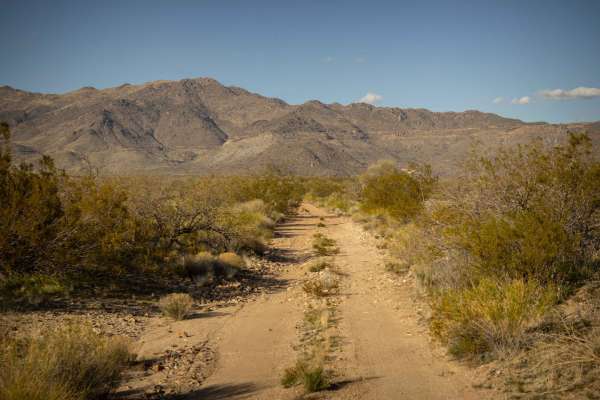
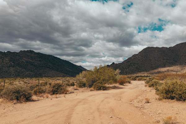
Date Creek Foothill
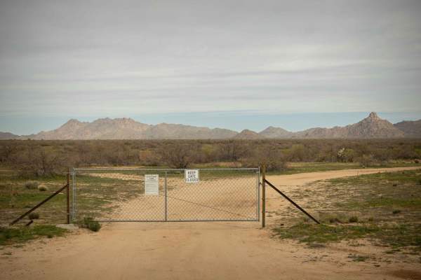
This trail has many steep wash crossings and erosion that are typical of the trails in this area. Because it is nearer to the mountains to the north, there are a bit more than usual. At the east end of this trail, there is a locked gate into a residential area, so it's best to approach from the west...
Learn more about Date Creek Foothill
Charlie's Loop
Charlie's Loop is a mellow dirt track that is lined with cactus and creosote bushes. Some erosion is present on the trail, so it's somewhat slow-going, but the rocks and views of the nearby mountains at the north end of the trail make it worth it. Jackrabbits and cattle are present in the area, as w...
Learn more about Charlie's Loop
March's Highlight
The south end of March's Highlight boasts a large open grassy area, no doubt the flood plain for Martinez Creek. The creek itself is a fun little area of deep sand wash that will be a fun speed run. There's a long, sandy, narrow uphill section that is fun and somewhat technical, but not too gnarly. ...
Learn more about March's Highlight
The Wash Extension
The Wash Extension is an interesting trail. From deep, soft sand in the wash, to rocky hill climbs with erosion, this trail is a fun drive! At some points on the steep, rocky hill climbs and descents, you might be off-camber due to erosion. Other than these typical features, there are no major obsta...
Learn more about The Wash Extension
Little Horse Waterfall
The Little Horse Waterfall Trail started off looking so promising. The trail is one lane, with water and erosion damage, and works its way toward the mountains. Along this trail, you'll find cactus, and creosote, typical of this area of the desert. An abandoned mine shaft is fenced off for safety. T...
Learn more about Little Horse Waterfall
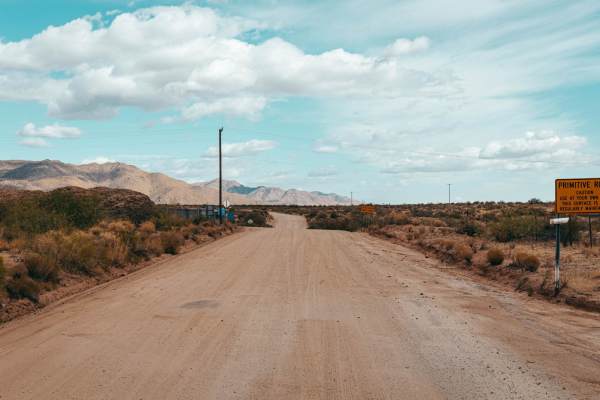
Date Creek Road
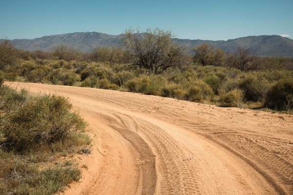
Date Creek Road is a washboarded and scenic trail that's great for all skill levels. The wide path makes for an easy drive, with no obstacles to slow you down. Along the way, you'll navigate through a few washes and experience stretches of washboard terrain--just enough to keep things interesting wi...
Learn more about Date Creek Road
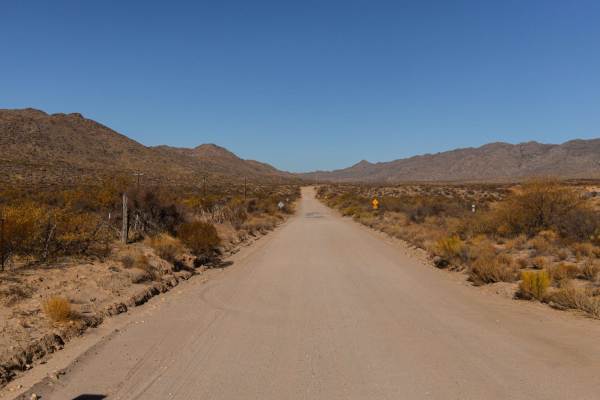
Stanton Road - CR109
Stanton Road is the gravel road that leads to the village of Stanton. This road is wide, with washboard sections. It's a main artery for this area, with both recreational and residential traffic, so don't be surprised to see other vehicles of various sizes out and about on this road. There are no ob...
Learn more about Stanton Road - CR109
Braid Camp
Braid Camp Trail is a mellow entry trail to access the main trail system in this area. Lots of campsites in the grassy flat spots near the main road exist, some with large rock fire rings. There are no obstacles on this trail, except for the erosion that cuts across the trail as a reminder of the we...
Learn more about Braid Camp
Echo Wash
Echo Wash is an interesting trail that takes you to the base of the hills in this area of the Arizona Land Trust on the north end. The trail culminates at a campsite half under a huge boulder. The campsites are on a high spot, tucked between two hills that give views of the surrounding valley. As is...
Learn more about Echo Wash
Rocklane Washout
Rocklane Washout is an unmaintained trail that is one lane and rocky. There are mineshafts that have been fenced off along this trail, but please be aware if you do venture out of your vehicle, that this area has numerous unmarked and unmaintained mines. Caution is urged. The trail itself has lots o...
Learn more about Rocklane Washout
Nancy's Extension
Nancy's Extension is a pleasant surprise of a trail. Mostly rock and dirt, this trail has no major obstacles on it. It does, however, have a fun hill climb, some windy, cool turns, beautiful views from the top of the hill, an interesting descent (off-camber with erosion), and the highlight of the da...
Learn more about Nancy's Extension
ATV trails near Congress, Arizona
Explore ATV-friendly trails near you. These trails are accessible for vehicles up to 50 inches wide, perfect for ATVs and smaller off-road machines.
Land Trust Cutoff
The Land Trust Cutoff Trail starts on its Eastern end with access straight from the pavement. This section of trail cuts through Arizona State Land Trust and requires a permit to access, which can be bought online. This trail has numerous sections of water damage, washouts, and erosion. Wash crossin...
Learn more about Land Trust Cutoff
Across the Top
Across the Top is a great trail for practicing your wash crossings! The obstacle game here includes numerous crossings with some erosion mixed in. Other than that, there are no major obstacles, though the washes may prove problematic during or after a rain event. Typical to the area, there are cattl...
Learn more about Across the Top
Burton Tank
Burton Tank is a quick trail with no obstacles on it. There is a major wash crossing but it appears to have been graded and smoothed as of early March 2024. There are cattle in the area, so caution is urged, but the majority of this trail is smooth and safe. There are large grassy areas that would b...
Learn more about Burton Tank
Southbound and Down
Southbound and Down starts wide and is a smooth trail that narrows as it runs south along the eastern border of this section of Arizona State Trust Land. This trail is lined with creosote and cactus, which at some points guarantee paint damage. This trail has multiple wash crossings with steep entra...
Learn more about Southbound and Down
UTV/side-by-side trails near Congress, Arizona
Find UTV and side-by-side trails near you. These trails accommodate vehicles up to 60 inches wide, ideal for UTVs, side-by-sides, and wider off-road rigs.
Land Trust Cutoff
The Land Trust Cutoff Trail starts on its Eastern end with access straight from the pavement. This section of trail cuts through Arizona State Land Trust and requires a permit to access, which can be bought online. This trail has numerous sections of water damage, washouts, and erosion. Wash crossin...
Learn more about Land Trust Cutoff
Across the Top
Across the Top is a great trail for practicing your wash crossings! The obstacle game here includes numerous crossings with some erosion mixed in. Other than that, there are no major obstacles, though the washes may prove problematic during or after a rain event. Typical to the area, there are cattl...
Learn more about Across the Top
Burton Tank
Burton Tank is a quick trail with no obstacles on it. There is a major wash crossing but it appears to have been graded and smoothed as of early March 2024. There are cattle in the area, so caution is urged, but the majority of this trail is smooth and safe. There are large grassy areas that would b...
Learn more about Burton Tank
Southbound and Down
Southbound and Down starts wide and is a smooth trail that narrows as it runs south along the eastern border of this section of Arizona State Trust Land. This trail is lined with creosote and cactus, which at some points guarantee paint damage. This trail has multiple wash crossings with steep entra...
Learn more about Southbound and Down
The onX Offroad Difference
onX Offroad combines trail photos, descriptions, difficulty ratings, width restrictions, seasonality, and more in a user-friendly interface. Available on all devices, with offline access and full compatibility with CarPlay and Android Auto. Discover what you're missing today!
Open Trail Map