
Dirt Bike Trails
Near Carp Lake, Michigan
Explore All Dirt Bike Trails Near Carp Lake, Michigan
Dirt Bike Trails Near Carp Lake, Michigan
Discover the best dirt bike trails near you. Browse trail maps, check difficulty ratings, and find your next adventure — whether you're looking for a quick ride or an all-day expedition.
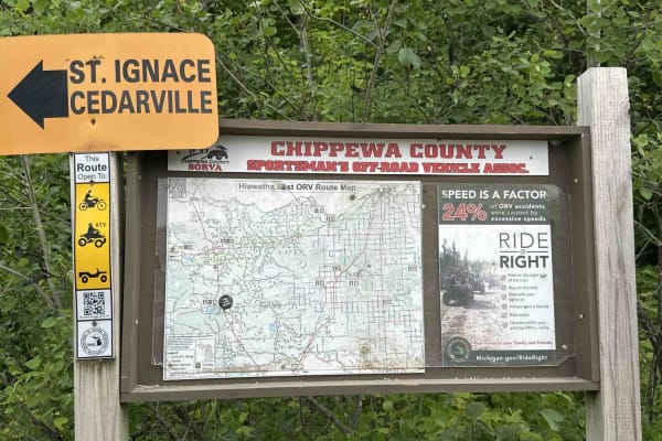
St. Ignace to Trout lake
St. Ignace to Trout Lake is a designated ORV trail that accommodates vehicles of all sizes, from large 4x4s to dirt bikes. The trail primarily features hardpack and gravel, with occasional sections of sand. It is surrounded by a diverse landscape, including dense forests and clearings, providing num...
Learn more about St. Ignace to Trout lake
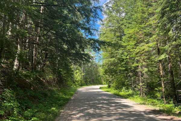
Castle Rock to Round Lake
This is a very easy gravel forest service road starting in St. Ignace near Castle Rock and heads west into Hiawatha National Forest towards Round Lake. The trail is wide enough for 2 vehicles in most places and has many offshoots and campsites to explore. The route starts on F.S.R. 3104 and jumps on...
Learn more about Castle Rock to Round Lake
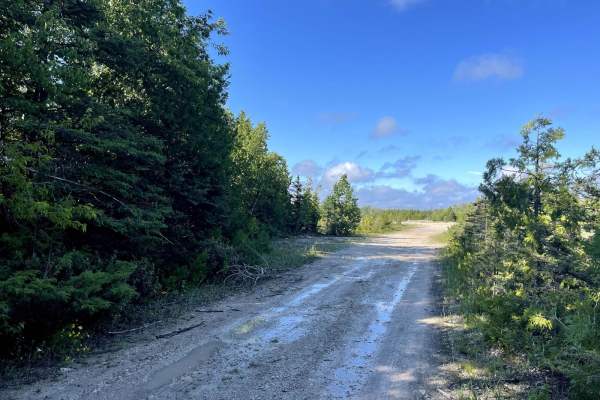
Gamble Lake Trail
The Gamble Lake Trail is a relatively short out-and-back trail that will take you to Gamble Lake. In the Summer months, the trees are very thick and it can be hard to see the lake through them. However, this could make for a great fishing spot as there is an area to stop and park a rig toward the en...
Learn more about Gamble Lake Trail
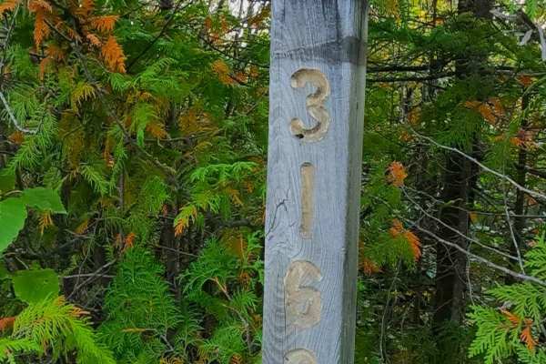
Old Castle Rock Trail - FS 3163
Federal Forest Service Road (FS) 3163, also known as Old Castle Rock Trail, is a federally owned/ locally maintained, Level-2/ Level-3 forest road with a surface composition of dirt, sand, gravel, and native material. This route is currently open and in fair condition; it is not a DNR road (ORV use ...
Learn more about Old Castle Rock Trail - FS 3163
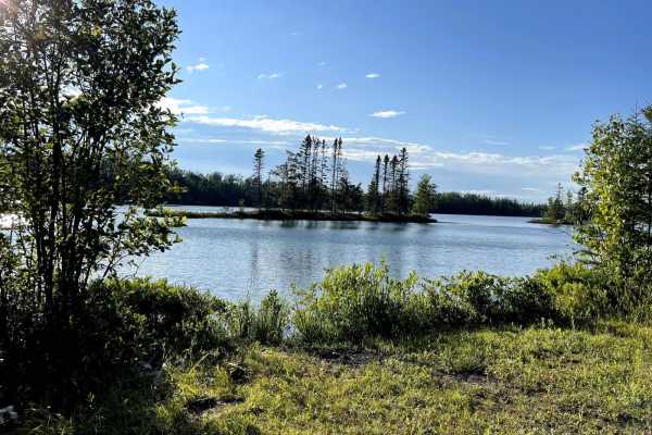
Hay Lake Road - FS 3413
This trail is a relatively easy, graded, and without fear of pinstripes! It is mostly comprised of dirt and passes through the dense woods and overgrowth. There are intermittent water holes, but nothing significantly deep, and all have hard bottoms. There is one area toward the end of the trail that...
Learn more about Hay Lake Road - FS 3413
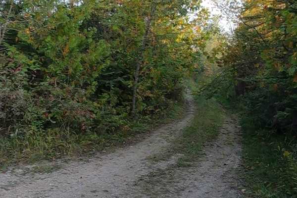
Old Castle Rock Spur A - FS 3163A
Federal Forest Service Road (FS) 3163A, also known as Old Castle Rock Trail Spur A, is a federally owned/ locally maintained, Level-2/ Level-3 forest road with a surface composition of dirt, sand, gravel, and native material. This route is currently open and in fair condition; it is not a DNR road (...
Learn more about Old Castle Rock Spur A - FS 3163A
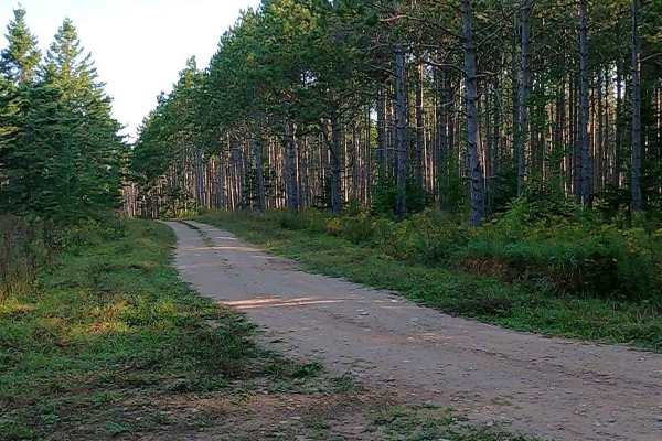
Hay Lake Spur A - FS 3413A
Federal Forest Service Road (FS) 3413A, also known as Hay Lake Road Spur A, is a federally owned/ locally maintained, Level-2 forest road with a surface composition of dirt, sand, gravel, grass, and native material. This "There-and-back" route is currently open and in fair condition; it is not a DNR...
Learn more about Hay Lake Spur A - FS 3413A
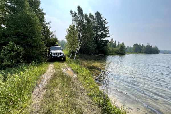
Hay Lake Spur Trail
This is a tight wooded trail that goes around a beautiful lake! It can be done in two-wheel drive with proper tire placement. The trail can be rough in spots with uneven terrain. This trail does have intermittent water holes with one longer water hole approximately 100 feet in length. This long wate...
Learn more about Hay Lake Spur Trail
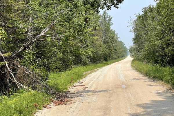
Route 3104
This is a well-maintained gravel dirt road that is two-way traffic. This route is accessible by any vehicle in two-wheel drive. This route serves as a connecting route between 'Castle Rock to Round Lake' to M123. The route is flat, wide, and free of potholes or other debris.
Learn more about Route 3104
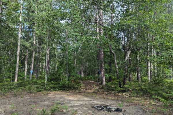
Orchard Lake
The West end of this trail begins on cement but becomes a seasonal road less than a mile from the start point. The trail is only one vehicle wide. It has a sandy/gravel base. There is beautiful foliage, mature trees, and very little elevation changes. The trail east of Alpina State becomes much more...
Learn more about Orchard Lake
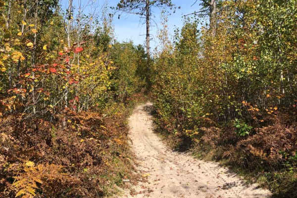
Black Lake North Loop
The Black Lake North Loop is a 50" ATV and motorcycle trail. The trail is mostly compacted sand and some black dirt. The trail flows through a number of clear-cut areas and selectively cut forest. The trail is tight in some sections with several large stumps on the edges. There are a few sections wh...
Learn more about Black Lake North Loop
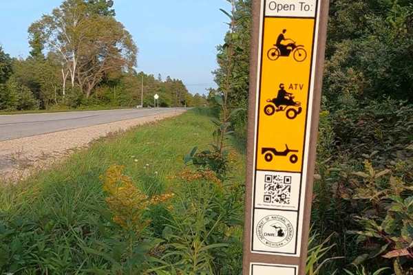
East Lake Road (ORV Route AN)
Federal Forest Service Road (FS) East Lake Road is a federally owned/ locally maintained, Level-2/ Level-3 forest road with a surface composition of dirt, sand, gravel, and native material. This route is currently open and in fair condition; it is a DNR road: known as ORV Route AN (ORV use is subjec...
Learn more about East Lake Road (ORV Route AN)
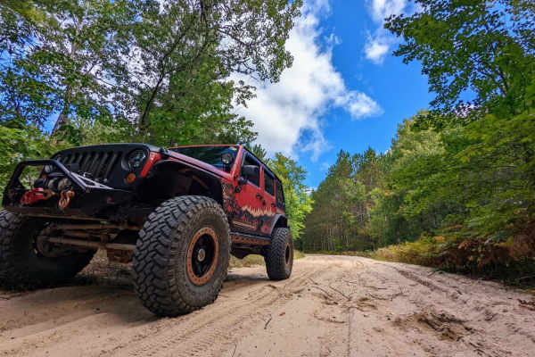
LP 76/7
LP 76/7 is an excellent, beginner-friendly sand route that offers a scenic tour through northern Michigan's forested terrain, making it perfect for stock four-wheel-drive vehicles, SxSs, and dirt bikes looking for a relaxed yet engaging ride. Stretching approximately 10 miles from the neighborhood a...
Learn more about LP 76/7
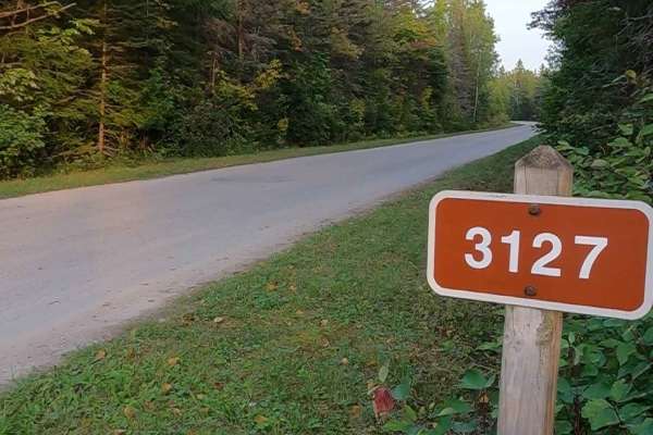
Carp River Boat Landing Road - FS 3127
Federal Forest Service Road (FS) 3127, also known as Carp River Boat Landing Road, is a federally owned/ locally maintained, Level-2/ Level-3 forest road with a surface composition of dirt, gravel, sand, and native material. This route is currently open and in fair condition; it is not a DNR road (O...
Learn more about Carp River Boat Landing Road - FS 3127
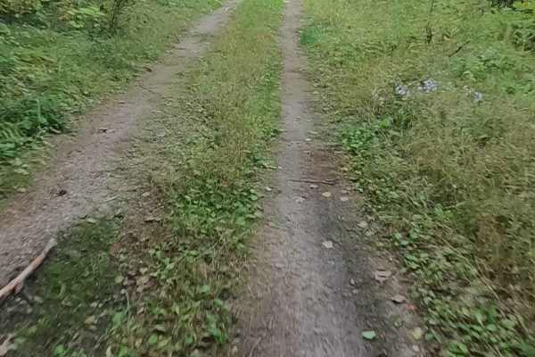
Brevoort Lake Road - FS 3424
Federal Forest Service Road (FS) 3424, also known as Brevoort Lake Road &/or Pipeline, is a federally owned/ locally maintained, Level-2/ Level-3 "There-and-back" forest road with a surface composition of dirt, sand, gravel, grass, and native material. This route is currently open and in fair condit...
Learn more about Brevoort Lake Road - FS 3424
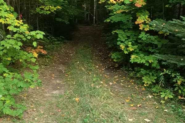
Brevoort West - FS 3782
Federal Forest Service Road (FS) 3782, also known as Brevoort West, is a federally owned/ locally maintained, Level-2/ Level-3 forest road with a surface composition of dirt, sand, gravel, grass, and native material. This route is currently open and in fair condition; it is not a DNR road (ORV use i...
Learn more about Brevoort West - FS 3782
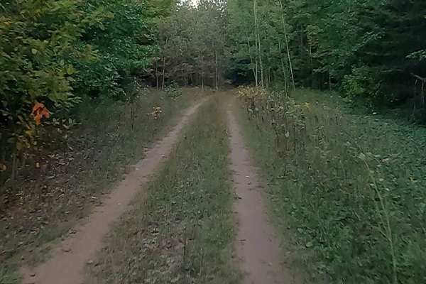
Weiss - FS 3445
Federal Forest Service Road (FS) 3445, also known as Weiss, is a federally owned/ locally maintained, Level-2/ Level-3 forest road with a surface composition of dirt, sand, gravel, and native material. This route is currently open and in fair condition. It is a "There-and-Back" route off of H63- Mac...
Learn more about Weiss - FS 3445
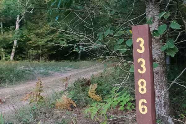
Carp Haul - FS 3386
Federal Forest Service Road (FS) 3386, also known as Carp Haul, is a federally owned/ locally maintained, Level-2/ Level-3 forest road with a surface composition of dirt, sand, gravel and native material. This route is currently open and in fair condition and is a "There-and-Back" route off of H63- ...
Learn more about Carp Haul - FS 3386
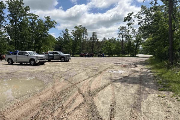
Indian River trailhead
Indian River trailhead is part of a designated off-road vehicle (ORV) trail that is legal for all vehicle types and sizes, from large 4x4s to dirt bikes. The trail is predominantly made up of sand and is surrounded by dense forests. This is a heavily traveled area, and there are a few blind corners....
Learn more about Indian River trailhead
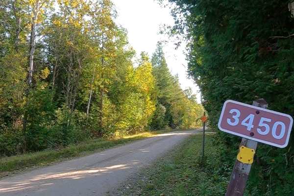
Greene Road - FS 3450
Federal Forest Service Road (FS) 3450; Greene Road, also known as Push & Pull, is a federally owned/ locally maintained, Level-2/ Level-3 forest road with a surface composition of dirt, gravel, sand, and native material. This route is currently open and in fair condition; it is not a DNR road (ORV u...
Learn more about Greene Road - FS 3450
ATV trails near Carp Lake, Michigan
Explore ATV-friendly trails near you. These trails are accessible for vehicles up to 50 inches wide, perfect for ATVs and smaller off-road machines.
St. Ignace to Trout lake
St. Ignace to Trout Lake is a designated ORV trail that accommodates vehicles of all sizes, from large 4x4s to dirt bikes. The trail primarily features hardpack and gravel, with occasional sections of sand. It is surrounded by a diverse landscape, including dense forests and clearings, providing num...
Learn more about St. Ignace to Trout lake
Castle Rock to Round Lake
This is a very easy gravel forest service road starting in St. Ignace near Castle Rock and heads west into Hiawatha National Forest towards Round Lake. The trail is wide enough for 2 vehicles in most places and has many offshoots and campsites to explore. The route starts on F.S.R. 3104 and jumps on...
Learn more about Castle Rock to Round Lake
Gamble Lake Trail
The Gamble Lake Trail is a relatively short out-and-back trail that will take you to Gamble Lake. In the Summer months, the trees are very thick and it can be hard to see the lake through them. However, this could make for a great fishing spot as there is an area to stop and park a rig toward the en...
Learn more about Gamble Lake Trail
Old Castle Rock Trail - FS 3163
Federal Forest Service Road (FS) 3163, also known as Old Castle Rock Trail, is a federally owned/ locally maintained, Level-2/ Level-3 forest road with a surface composition of dirt, sand, gravel, and native material. This route is currently open and in fair condition; it is not a DNR road (ORV use ...
Learn more about Old Castle Rock Trail - FS 3163
UTV/side-by-side trails near Carp Lake, Michigan
Find UTV and side-by-side trails near you. These trails accommodate vehicles up to 60 inches wide, ideal for UTVs, side-by-sides, and wider off-road rigs.
St. Ignace to Trout lake
St. Ignace to Trout Lake is a designated ORV trail that accommodates vehicles of all sizes, from large 4x4s to dirt bikes. The trail primarily features hardpack and gravel, with occasional sections of sand. It is surrounded by a diverse landscape, including dense forests and clearings, providing num...
Learn more about St. Ignace to Trout lake
Castle Rock to Round Lake
This is a very easy gravel forest service road starting in St. Ignace near Castle Rock and heads west into Hiawatha National Forest towards Round Lake. The trail is wide enough for 2 vehicles in most places and has many offshoots and campsites to explore. The route starts on F.S.R. 3104 and jumps on...
Learn more about Castle Rock to Round Lake
Gamble Lake Trail
The Gamble Lake Trail is a relatively short out-and-back trail that will take you to Gamble Lake. In the Summer months, the trees are very thick and it can be hard to see the lake through them. However, this could make for a great fishing spot as there is an area to stop and park a rig toward the en...
Learn more about Gamble Lake Trail
Old Castle Rock Trail - FS 3163
Federal Forest Service Road (FS) 3163, also known as Old Castle Rock Trail, is a federally owned/ locally maintained, Level-2/ Level-3 forest road with a surface composition of dirt, sand, gravel, and native material. This route is currently open and in fair condition; it is not a DNR road (ORV use ...
Learn more about Old Castle Rock Trail - FS 3163
The onX Offroad Difference
onX Offroad combines trail photos, descriptions, difficulty ratings, width restrictions, seasonality, and more in a user-friendly interface. Available on all devices, with offline access and full compatibility with CarPlay and Android Auto. Discover what you're missing today!
Open Trail Map