Trail Overview
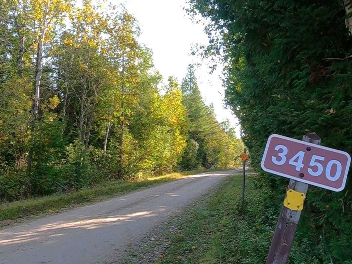
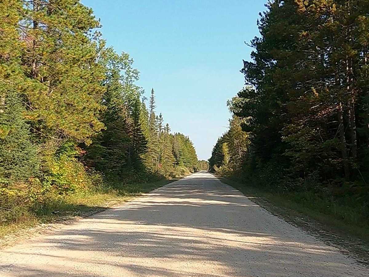
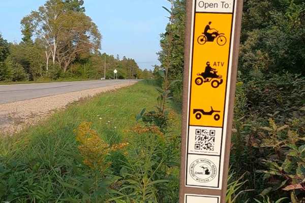
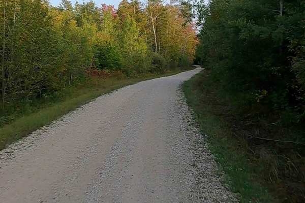
Federal Forest Service Road (FS) 3450; Greene Road, also known as Push & Pull, is a federally owned/ locally maintained, Level-2/ Level-3 forest road with a surface composition of dirt, gravel, sand, and native material. This route is currently open and in fair condition; it is not a DNR road (ORV use is subject to local government regulations). It connects M-123 Tahquamenon Scenic Byway to East Lake Road (ORV Route AN). Description created on September 17, 2025.
Difficulty
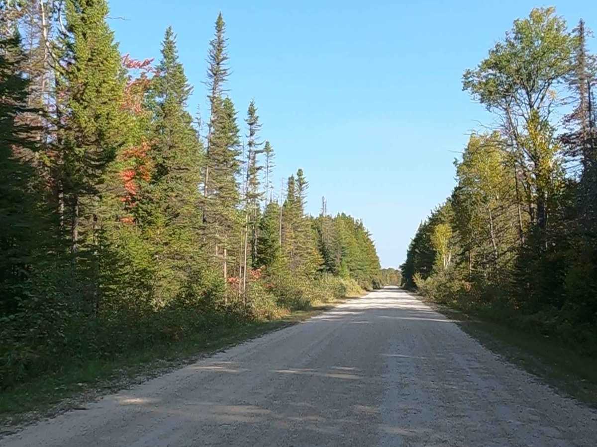
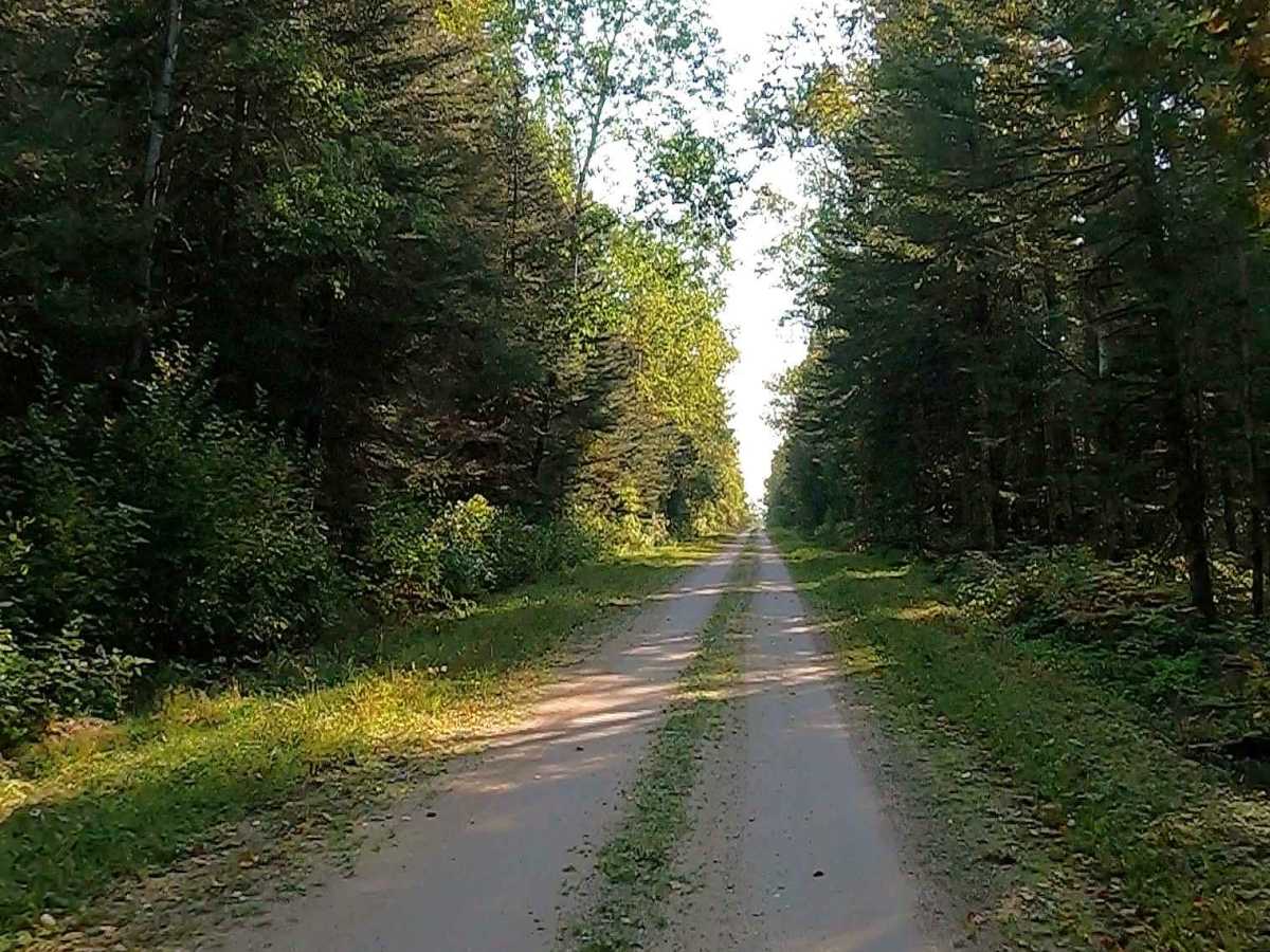
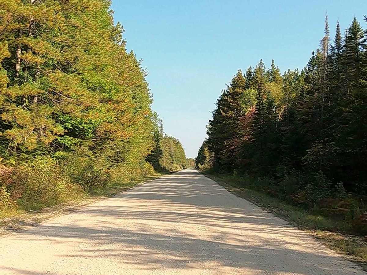
Gravel, dirt, sandy road, unmaintained after rain or snow that may give rise to shallow water crossings and obstacles under 12 inches on the trail, including small ledges. This road is typically one to two vehicles in width.
History
Moran Township was officially chartered on April 1, 1844, seven years after Michigan achieved statehood. The area has evolved from a region focused on fur trapping and hunting to one deeply rooted in lumber, commercial fishing, and, more recently, tourism. The nearest village, Moran, was initially established as "Jacob City," named after the president of Detroit's German Land Company, who was later fired for fraud. Renaming: Around 1883, the village was renamed "Moran" in honor of William B. Moran of Detroit, a prominent businessman who assisted the township with funding during its early struggles.