Trail Overview
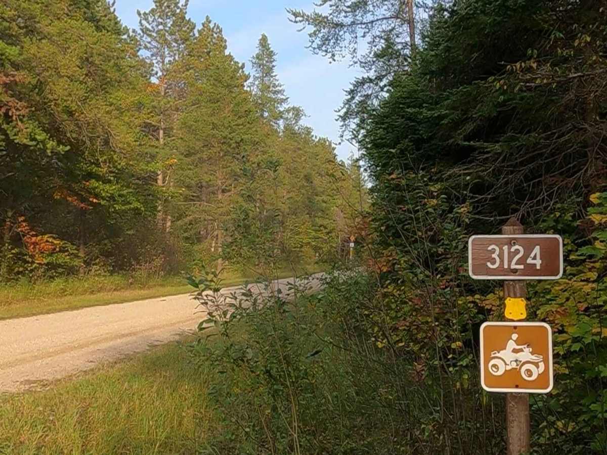
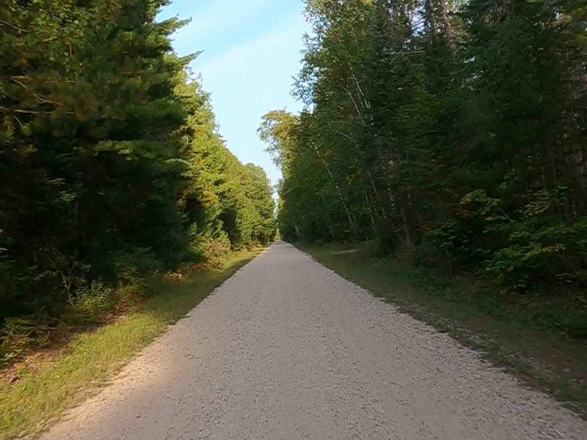
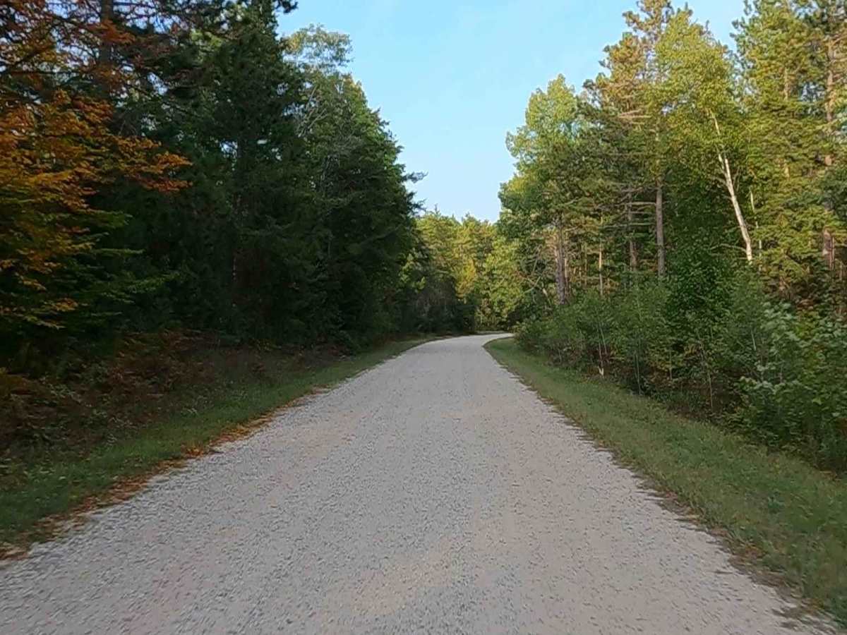
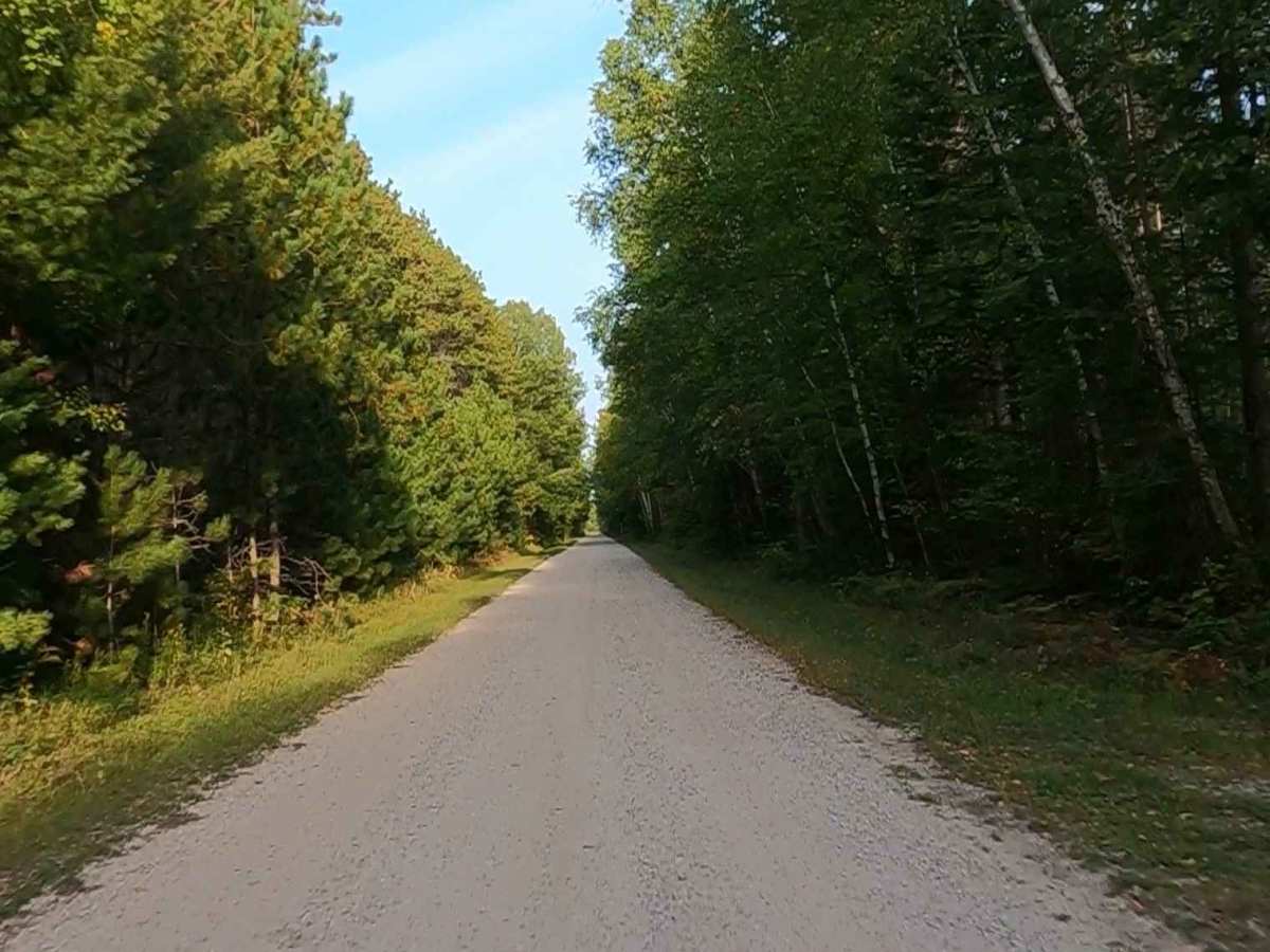
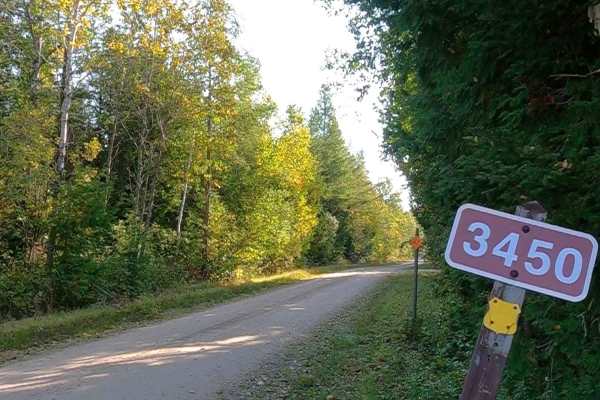
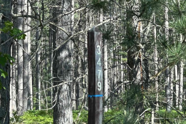
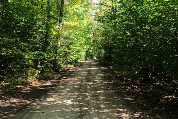
Federal Forest Service Road (FS) 3124-9385, also known as Burma Grade Road and Nogi Road, is a federally owned/ locally maintained, Level-2/ Level-3 forest road with a surface composition of dirt, gravel, sand, and native material. This route is currently open and in fair condition; it is a DNR road (ORV use is subject to local government regulations) known as ORV Route A. It connects FS 3435- Goudreau Trail (aka ORV Route A) to FS 3124B, FS 3734, FS 3477, FS 3458, FS 3124K, FS 3399, FS 3794, FS 3398, FS 3479, FS 3124C, and 3124E to M-123 Tahquamenon Scenic Byway. Description created on September 17, 2025.
Difficulty
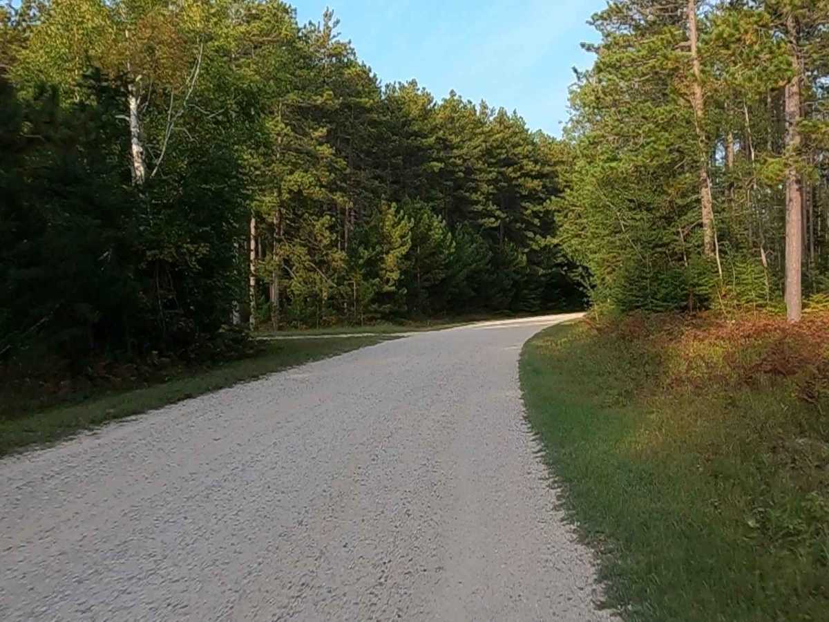
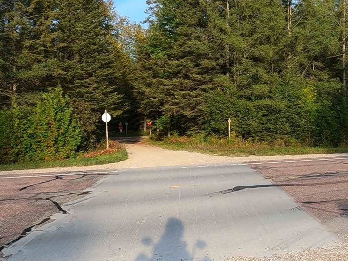
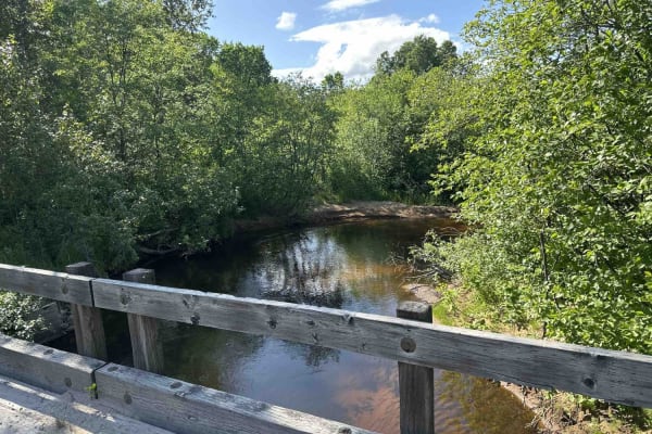
Gravel, dirt, sandy road, unmaintained after rain or snow that may give rise to shallow water crossings and obstacles under 12 inches on the trail, including small branches. This road is typically one to two vehicles in width.
History
"Burma Road" (or Burma Grade) is a gravel trail in the Hiawatha National Forest, often known as the "A Route" on Michigan Department of Natural Resources (DNR) maps, popular for ORV riding and snowmobiling. The nickname "Burma Road" was commonly used throughout the United States during and after World War II for difficult, steep, and treacherous roads, referencing the famous military supply route 717-mile road linking Burma and China.