
Dirt Bike Trails
Near Brunswick, Georgia
Explore All Dirt Bike Trails Near Brunswick, Georgia
Dirt Bike Trails Near Brunswick, Georgia
Discover the best dirt bike trails near you. Browse trail maps, check difficulty ratings, and find your next adventure — whether you're looking for a quick ride or an all-day expedition.
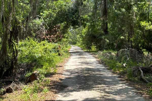
Black Point - Ceylon WMA
The Black Point Trail starts at the Union Carbide Road and gives you access to the Ceylon WMA. The area is surrounded by the Crooked River and follows the Black Point Creek. Expect flooding after heavy rain. The road conditions are a mixture of packed sand, loose sand, and some deep holes that can t...
Learn more about Black Point - Ceylon WMA
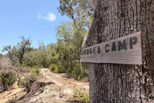
Judges Camp
Judges Camp Road is a 0.8 -mile point-to-point dirt trail rated 3 out of 10 located within the Buck Island Tract of Townsend Wildlife Management Area in Long County, Georgia. While short, it leads to a scenic primitive campsite on the banks of the Altamaha River and features one notable technical ob...
Learn more about Judges Camp
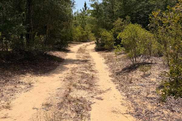
Swamp Camp Trail
Swamp Camp Trail is a scenic forest road located within Townsend Wildlife Management Area. The route winds through dense hardwoods, palmettos, and pine forest over a mixture of packed dirt and sugar sand. Most of the trail is easy to navigate in dry conditions, but several sections contain deep sand...
Learn more about Swamp Camp Trail
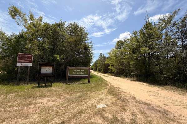
Buck Island Boat Ramp Trail
Buck Island Boat Ramp Road is a 0.8-mile point-to-point dirt trail rated 3 out of 10 located within the Buck Island Tract of Townsend Wildlife Management Area in Long County, Georgia. Access to the Wildlife Management Area requires a valid Georgia hunting license, fishing license, or Georgia Lands P...
Learn more about Buck Island Boat Ramp Trail
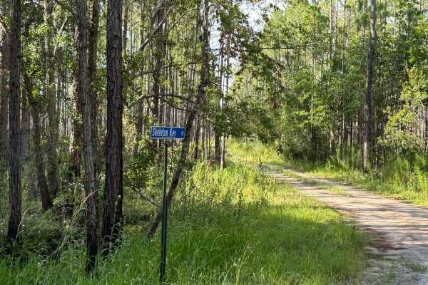
Skeleton Key Road
Skeleton Key Road is a relaxed forest drive with one surprise waiting at the end — a soft sugar-sand circle that feels like nature’s own roundabout. Skeleton Key Road shares the same sand-and-gravel base as nearby Three Bridges Road and Countyline Road, but adds a distinct twist at its end: a wide l...
Learn more about Skeleton Key Road
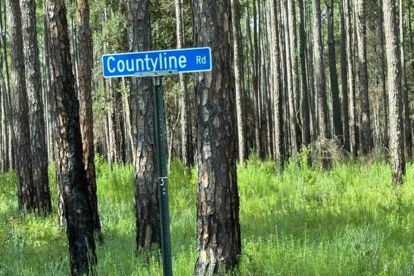
Countyline Road
Countyline Road is a peaceful sand-and-gravel stretch that rewards you with tree-lined views and quiet forest vibes — perfect for unwinding after the ride in. Countyline Road offers a relaxed drive through dense rows of trees, with the same sandy and gravel mix common to the area. It’s an approachab...
Learn more about Countyline Road
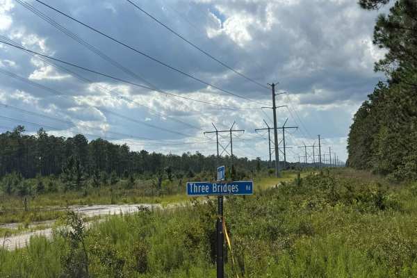
Three Brides Road
A laid-back stretch of road framed by endless trees, Three Bridges Road is perfect when you want an easy cruise through nature without the stress of technical driving. Three Bridges Road winds through a scenic, tree-lined corridor, offering a peaceful escape into nature. The route blends sand and gr...
Learn more about Three Brides Road
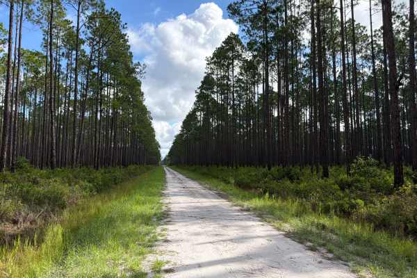
Cattail - FS 201
Cattail, also known as Osceola National Forest Road 201, connects Ocean Bay at the west end and SR-250 at the east end. It takes you through the north part of the Osceola National Forest and gives you access to the Cattail Bay district with several off-road trails. The road conditions are a mixture ...
Learn more about Cattail - FS 201

Camp Island - FS 224
Camp Island, also known as Osceola National Forest Road 224, is a loop trail that starts and ends at Sandhill Grade. It takes you through the northern part of the Osceola National Forest and gives you access to the Negro Camp Island district. The road conditions are a mixture of packed sand, loose s...
Learn more about Camp Island - FS 224
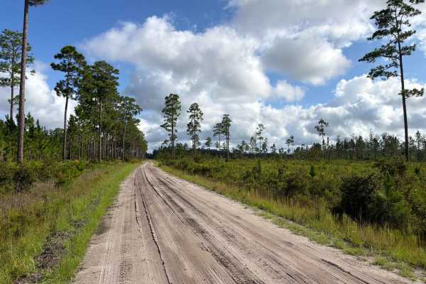
Ocean Bay - FS 255
Ocean Bay, also known as Osceola National Forest Road 255, connects Middle Prong at the south end and Sandhill Grade at the north end. It takes you through the northern part of the Osceola National Forest and gives you access to the Ocean Bay district. The road conditions are a mixture of packed san...
Learn more about Ocean Bay - FS 255

East Tower - Osceola NF 202
The East Tower Trail, also known as Osceola National Forest Road 202, connects CR 250 at the west end and CR 125 at the east end. It takes you through the Osceola National Forest from west to east and gives you access to the East Tower Camp, a primitive hunting camp. The road conditions are a mixtur...
Learn more about East Tower - Osceola NF 202
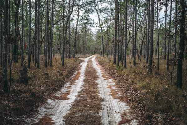
Rattlesnake Road - Jennings State Forest
Rattlesnake Road is a short 1.8 mile trail in Jennings State Forest. The trail is mostly loose sand and while the state has a sign stating "4WD recommended," the trail really only requires a good all terrain tire and good throttle control through loose sections. 4WD was not needed even a day after a...
Learn more about Rattlesnake Road - Jennings State Forest
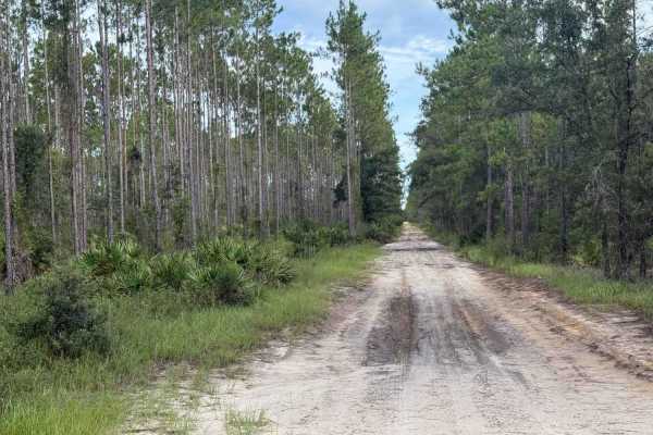
Camp Branch Road
Camp Branch Road runs as a long, mostly straight cut through the heart of Jennings State Forest. What it lacks in twists and turns, it makes up for in tranquil forest views and a peaceful, no-rush kind of vibe. Lined with tall, evenly spaced pines and dense Florida greenery, this route is ideal for ...
Learn more about Camp Branch Road
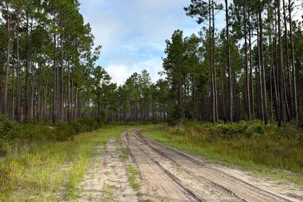
Cobb‘s Place - FS 235
Cobb‘s Place, also known as Osceola National Forest Road 235, connects The Swamp Thing at the south end and Sandhill Grade at the north end. It takes you through the north part of the Osceola National Forest and gives you access to several off-road trails in the area. The road conditions are a mixtu...
Learn more about Cobb‘s Place - FS 235
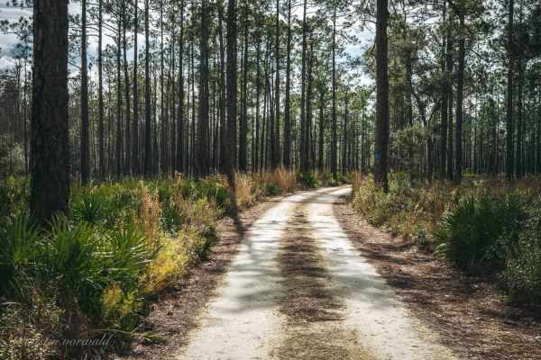
Bell's Cemetery Road - Jennings State Forest
Bell's Cemetery Road is a main road and an easy route within Jennings State Forest that gives a driver access to numerous other trails for vehicles, hiking, horseback riding, and camping. Bell's Cemetery Road is made up of packed sand/dirt and rock and is an easy trail for all types of vehicles. The...
Learn more about Bell's Cemetery Road - Jennings State Forest
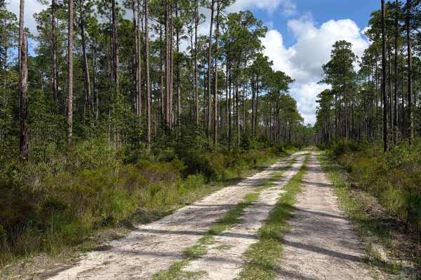
Fraser - FS 204
Fraser, also known as Osceola National Forest Road 204, connects Kenny at the south end and East Tower at the north end. It takes you through the northern part of the Osceola National Forest and gives you access to the Bill Branch district and a few off-road trails. The road conditions are a mixture...
Learn more about Fraser - FS 204

Natural Area - Osceola NF 277
The Natural Area Trail, also known as Osceola National Forest Road 277, connects Cobb's Place Trail at the west end and CR 250 at the east end. It takes you through the Osceola National Forest from west to east and gives you access to the Natural Area Wilderness Study Area. The road conditions are a...
Learn more about Natural Area - Osceola NF 277
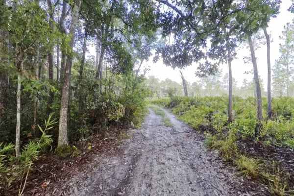
Nolan Ridge Road
Noland Ridge Road offers a quiet, ever-changing drive through a mix of forest textures. Starting beneath a green canopy, the trail quickly opens up into wide pine flats with tall trees spaced like sentinels on either side of the path. The surface is a blend of hard-packed sand and patches of pine st...
Learn more about Nolan Ridge Road

Little Bear Bay - FS 221
Little Bear Bay, also known as Osceola National Forest Road 221, connects The Swamp Thing at the south end and Sandhill Grade at the north end. It takes you through the northern part of the Osceola National Forest and gives you access to the Little Bear Bay district. The road conditions are a mixtur...
Learn more about Little Bear Bay - FS 221
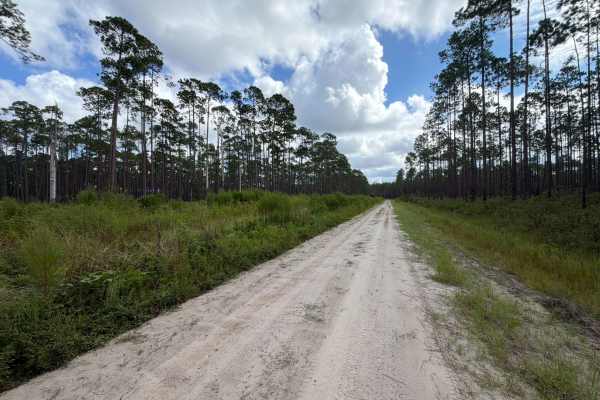
Kenny - FS 231
Kenny, also known as Osceola National Forest Road 231, connects SR-229 at the west end and SR-127 at the east end. It takes you through the north part of the Osceola National Forest and gives you access to the Bill Branch district and several off-road trails. The road conditions are a mixture of pac...
Learn more about Kenny - FS 231
ATV trails near Brunswick, Georgia
Explore ATV-friendly trails near you. These trails are accessible for vehicles up to 50 inches wide, perfect for ATVs and smaller off-road machines.
Skeleton Key Road
Skeleton Key Road is a relaxed forest drive with one surprise waiting at the end — a soft sugar-sand circle that feels like nature’s own roundabout. Skeleton Key Road shares the same sand-and-gravel base as nearby Three Bridges Road and Countyline Road, but adds a distinct twist at its end: a wide l...
Learn more about Skeleton Key Road
Countyline Road
Countyline Road is a peaceful sand-and-gravel stretch that rewards you with tree-lined views and quiet forest vibes — perfect for unwinding after the ride in. Countyline Road offers a relaxed drive through dense rows of trees, with the same sandy and gravel mix common to the area. It’s an approachab...
Learn more about Countyline Road
Three Brides Road
A laid-back stretch of road framed by endless trees, Three Bridges Road is perfect when you want an easy cruise through nature without the stress of technical driving. Three Bridges Road winds through a scenic, tree-lined corridor, offering a peaceful escape into nature. The route blends sand and gr...
Learn more about Three Brides Road
Cattail - FS 201
Cattail, also known as Osceola National Forest Road 201, connects Ocean Bay at the west end and SR-250 at the east end. It takes you through the north part of the Osceola National Forest and gives you access to the Cattail Bay district with several off-road trails. The road conditions are a mixture ...
Learn more about Cattail - FS 201
UTV/side-by-side trails near Brunswick, Georgia
Find UTV and side-by-side trails near you. These trails accommodate vehicles up to 60 inches wide, ideal for UTVs, side-by-sides, and wider off-road rigs.
Skeleton Key Road
Skeleton Key Road is a relaxed forest drive with one surprise waiting at the end — a soft sugar-sand circle that feels like nature’s own roundabout. Skeleton Key Road shares the same sand-and-gravel base as nearby Three Bridges Road and Countyline Road, but adds a distinct twist at its end: a wide l...
Learn more about Skeleton Key Road
Countyline Road
Countyline Road is a peaceful sand-and-gravel stretch that rewards you with tree-lined views and quiet forest vibes — perfect for unwinding after the ride in. Countyline Road offers a relaxed drive through dense rows of trees, with the same sandy and gravel mix common to the area. It’s an approachab...
Learn more about Countyline Road
Three Brides Road
A laid-back stretch of road framed by endless trees, Three Bridges Road is perfect when you want an easy cruise through nature without the stress of technical driving. Three Bridges Road winds through a scenic, tree-lined corridor, offering a peaceful escape into nature. The route blends sand and gr...
Learn more about Three Brides Road
Cattail - FS 201
Cattail, also known as Osceola National Forest Road 201, connects Ocean Bay at the west end and SR-250 at the east end. It takes you through the north part of the Osceola National Forest and gives you access to the Cattail Bay district with several off-road trails. The road conditions are a mixture ...
Learn more about Cattail - FS 201
The onX Offroad Difference
onX Offroad combines trail photos, descriptions, difficulty ratings, width restrictions, seasonality, and more in a user-friendly interface. Available on all devices, with offline access and full compatibility with CarPlay and Android Auto. Discover what you're missing today!
Open Trail Map