
Dirt Bike Trails
Near Avondale, Arizona
Explore All Dirt Bike Trails Near Avondale, Arizona
Dirt Bike Trails Near Avondale, Arizona
Discover the best dirt bike trails near you. Browse trail maps, check difficulty ratings, and find your next adventure — whether you're looking for a quick ride or an all-day expedition.
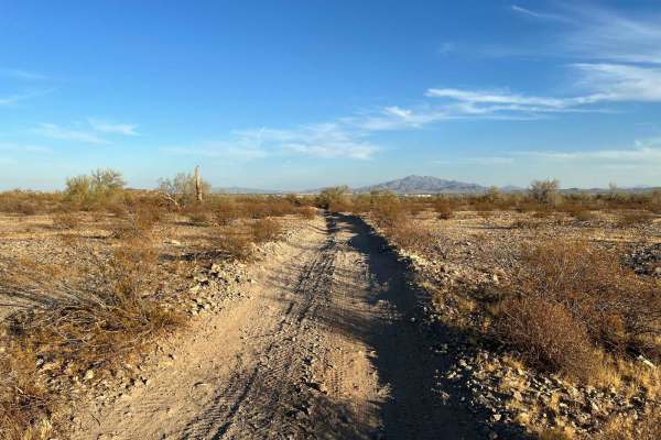
Sienna Hills Super Highway
This two-track connector trail is a great quick rip for a SXS, quad, or dirtbike. This trail connects the Sienna Hills neighborhood to the "Buckeye Dunes" and Watson Road. Plenty of fun features make this not only a fun trail but useful as well. There are a few sections you need to pay attention to ...
Learn more about Sienna Hills Super Highway
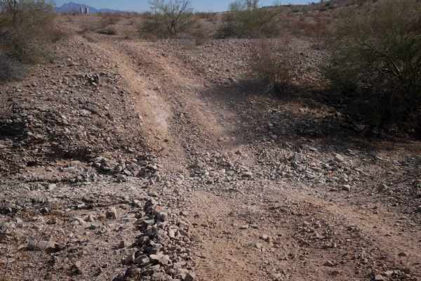
BH1112
This is a short dirt bike trail that is more like an old road. It's road-width the entire way, and it's a gravelly surface over rolling hills. The trail is covered in loose rock, and it has big dips into ravines and washes, often with a steep entrance and rocky at the bottom of the ravine. It's most...
Learn more about BH1112
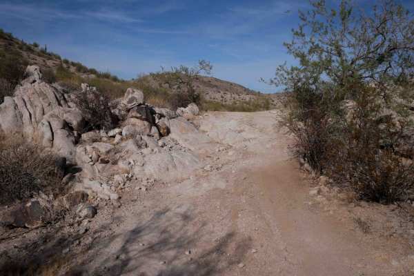
BH1106
This trail is a two-track width for the 1.4-mile route. It starts at an unmarked entrance on both ends on a mid-width path, narrower than a Jeep trail, between the bushes. It has some big wide corners on a gravelly surface, making it slippery at times. It goes next to the giant saguaro cactus and up...
Learn more about BH1106
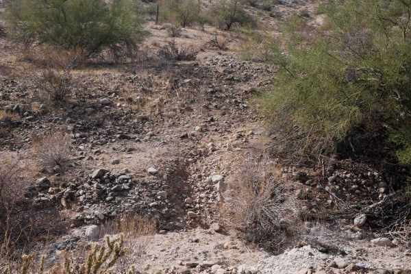
BH1105
This is an easy but faint, short dirt bike trail near Buckeye, Arizona. Both entrances are unmarked and hidden, and you'd only know to ride it if you had a map. There are only a couple of tracks to follow, but most tracks have been washed away. It meanders through the hillsides between the cactus an...
Learn more about BH1105
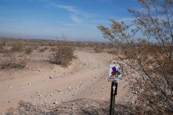
Maricopa Trail BH1175
This is a short but easy ATV trail through the BLM land south of Buckeye, Arizona. It's a wide road-width trail for the whole route. It's very easy the whole way, except it has wash crossings that will require high clearance as they dip down a foot into the wash, with loose rocks and sand. The trail...
Learn more about Maricopa Trail BH1175
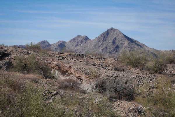
BH1075
This is a 6-mile-long dirt bike trail through the BLM south of Buckeye, Arizona. The trail is a mix of wide two-track, road, and singletrack, and it's very faint and hard to follow at times. It starts out as a wide trail on either end of the loop. There are loose softball-sized rocks in the trail, b...
Learn more about BH1075
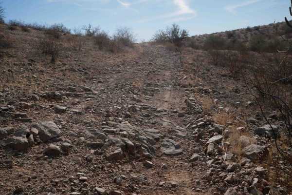
BH1074 ATV
This is a short ATV trail through BLM land south of the town of Buckeye, Arizona. It's a wide easy two-track for the entire route, winding between the bushes, in a barren desert terrain. It has big wide corners and a gravelly surface, so it can be slippery in spots. It's twisty through the hills, bu...
Learn more about BH1074 ATV
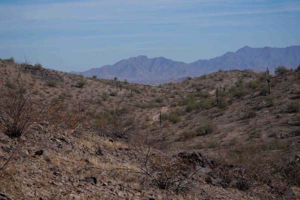
BH1107
This is a road-width trail for dirt bikes. It's mostly very easy the whole route, but does have some slightly off-camber spots as it goes around the hillsides. The trail is covered in loose rock and gravel, with washouts and steep dips into ravines that will require high clearance. It has steep litt...
Learn more about BH1107
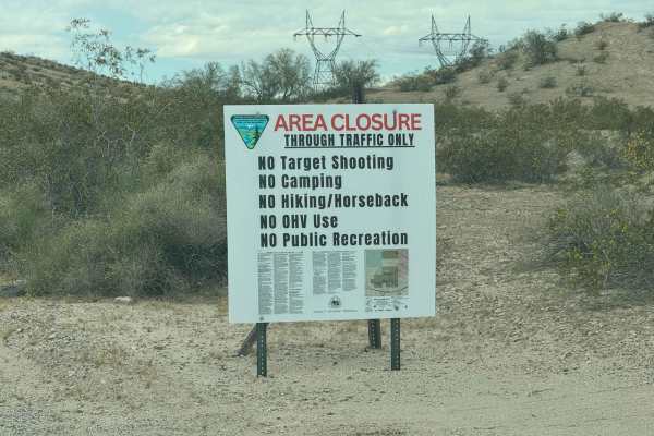
Tonopah-Salome Highway
This is a relatively easy route. This is perfect for bypassing any accident on the I-10 between Miller Road and Sun Valley Parkway. Towards the west end, it will be somewhat paved for a short section with large potholes, so use caution. Towards the center and east end, it's flat dirt that normally i...
Learn more about Tonopah-Salome Highway
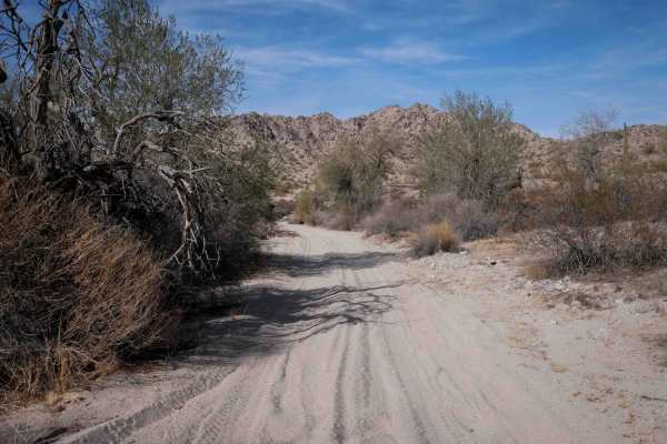
BH1072 ATV
This trail starts in a wide sandy wash that is white gravelly sand and smooth, between the dirt bluffs and bushes. The sand is deep in spots. It has big sweeping corners, but also fast straight sections. There are tons of unmarked splits in the wash, so you'll need a map here. It's scenic in the was...
Learn more about BH1072 ATV
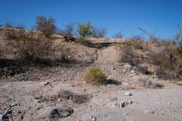
BH1078
The north entrance to this single track is very faint from a wash, but there are a few tracks to follow. It's a very faint and primitive trail through rolling desert hills, crossing some more major dirt roads along the way. It constantly goes up and down the small hills, crossing rocky ravines and s...
Learn more about BH1078
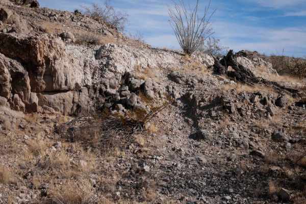
BH1076
This is a fun and scenic dirt bike trail south of Buckeye, Arizona. It starts at unmarked entrances on both the west and east and ends at dirt roads. A lot of this trail is pretty faint, with not many tracks to follow, so it will require some navigation skills. It's easy to miss the turns and get of...
Learn more about BH1076
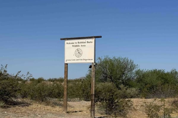
Robbins Butte Trail
This is a fun little route with few people but ample wildlife. Just be cautious of vehicle width, as many parts are narrow and can result in light scratches to the clear coat. This trail is great for a bird watcher and while it's easy to navigate. You might need to keep your speed up in some of the ...
Learn more about Robbins Butte Trail
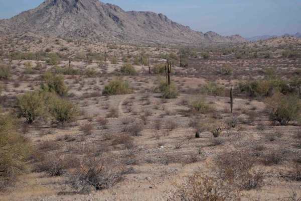
BH1074
This is an almost 11-mile-long dirt bike trail through the BLM land south of Buckeye. It's a mix of actual singletrack, road sections, and wider two-track sections, but it's lightly trafficked and pretty faint for a lot of the route. It goes through a gravelly rolling hill terrain, with scraggly bus...
Learn more about BH1074
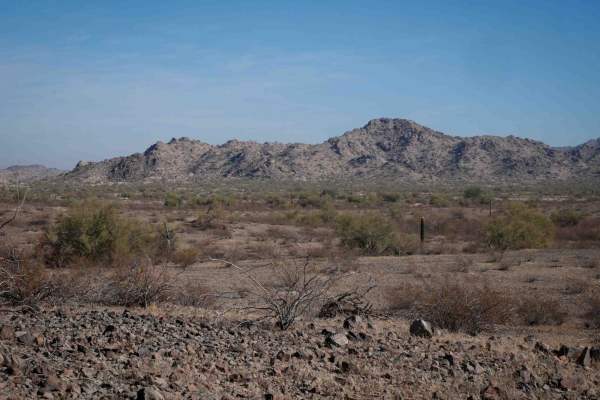
BH1165
This short segment of single track connects BH1078 to BH1074, to make a fun desert loop. The north end starts after the mining area, on a faint trail heading into the gravelly hills through the bushes, and the entrance is difficult to find. It becomes wider, more like a 2 track. The trail goes throu...
Learn more about BH1165
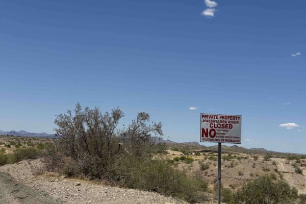
Tonopah-Salome Highway: Sun Valley Parkway to 330th Avenue
This is an easy backroad that almost any vehicle can travel. This can get very muddy during rain events and the wash can really get flowing during summer rain events. While there are no shooting signs, please use caution, as lots of illegal shooting occurs in the wash at all hours. This is a great b...
Learn more about Tonopah-Salome Highway: Sun Valley Parkway to 330th Avenue
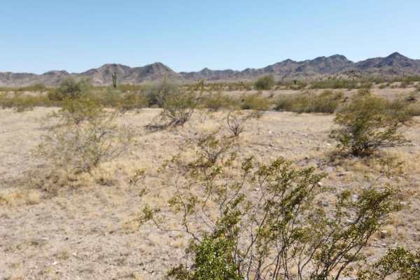
Buckeye Hills Scenic Trail
The Buckeye Hills Scenic Trail offers an incredible drive through the heart of the Buckeye Hills, connecting Robbins Butte Trail to SR 85. This route winds through classic Sonoran Desert landscapes, featuring rolling hills, wide-open desert vistas, and rugged terrain. It's a perfect mix of easygoing...
Learn more about Buckeye Hills Scenic Trail
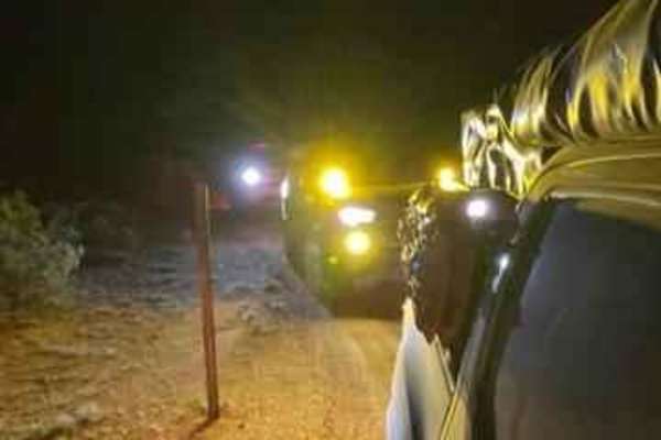
Smooth Sailing
After traveling down Maricopa Road 238 and exiting on 99th Avenue in Mobile, turn down a gas pipeline road and you will find an easy trail next to Road 8054. This easy but fun trail leads you on a journey back to 238. This is an amazing place to do night photography.
Learn more about Smooth Sailing
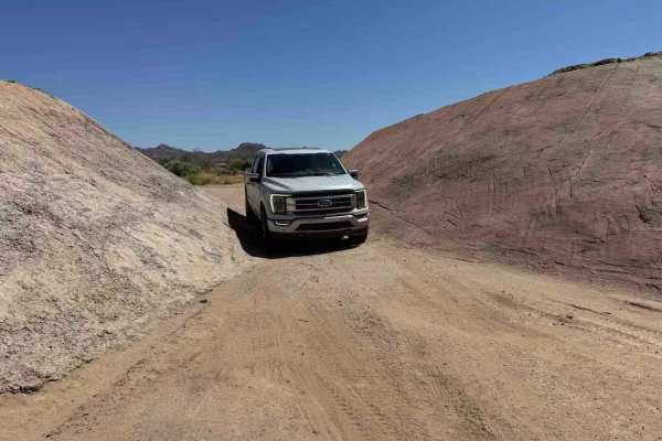
Stephens Point Trail
This is a route that tracks to the junction of a small island that is known as Stephens Point. It's a long-time gathering spot for family trips and a great location to relax in the trees and large brush away from others. While the water is dirty and murky most the year and it can have a fly issue fr...
Learn more about Stephens Point Trail
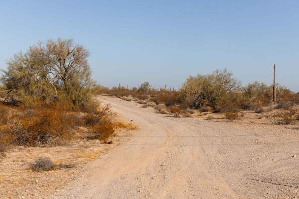
Aguila Adapter
Aguila Adapter is a smooth and straightforward trail that's perfect for a relaxing off-road experience. With no obstacles to worry about, this route offers an easy ride through beautiful desert scenery. The dirt path provides a classic off-road feel, and you'll encounter a few wash crossings that ad...
Learn more about Aguila Adapter
ATV trails near Avondale, Arizona
Explore ATV-friendly trails near you. These trails are accessible for vehicles up to 50 inches wide, perfect for ATVs and smaller off-road machines.
Sienna Hills Super Highway
This two-track connector trail is a great quick rip for a SXS, quad, or dirtbike. This trail connects the Sienna Hills neighborhood to the "Buckeye Dunes" and Watson Road. Plenty of fun features make this not only a fun trail but useful as well. There are a few sections you need to pay attention to ...
Learn more about Sienna Hills Super Highway
BH1112
This is a short dirt bike trail that is more like an old road. It's road-width the entire way, and it's a gravelly surface over rolling hills. The trail is covered in loose rock, and it has big dips into ravines and washes, often with a steep entrance and rocky at the bottom of the ravine. It's most...
Learn more about BH1112
Maricopa Trail BH1175
This is a short but easy ATV trail through the BLM land south of Buckeye, Arizona. It's a wide road-width trail for the whole route. It's very easy the whole way, except it has wash crossings that will require high clearance as they dip down a foot into the wash, with loose rocks and sand. The trail...
Learn more about Maricopa Trail BH1175
BH1074 ATV
This is a short ATV trail through BLM land south of the town of Buckeye, Arizona. It's a wide easy two-track for the entire route, winding between the bushes, in a barren desert terrain. It has big wide corners and a gravelly surface, so it can be slippery in spots. It's twisty through the hills, bu...
Learn more about BH1074 ATV
UTV/side-by-side trails near Avondale, Arizona
Find UTV and side-by-side trails near you. These trails accommodate vehicles up to 60 inches wide, ideal for UTVs, side-by-sides, and wider off-road rigs.
Sienna Hills Super Highway
This two-track connector trail is a great quick rip for a SXS, quad, or dirtbike. This trail connects the Sienna Hills neighborhood to the "Buckeye Dunes" and Watson Road. Plenty of fun features make this not only a fun trail but useful as well. There are a few sections you need to pay attention to ...
Learn more about Sienna Hills Super Highway
BH1112
This is a short dirt bike trail that is more like an old road. It's road-width the entire way, and it's a gravelly surface over rolling hills. The trail is covered in loose rock, and it has big dips into ravines and washes, often with a steep entrance and rocky at the bottom of the ravine. It's most...
Learn more about BH1112
BH1107
This is a road-width trail for dirt bikes. It's mostly very easy the whole route, but does have some slightly off-camber spots as it goes around the hillsides. The trail is covered in loose rock and gravel, with washouts and steep dips into ravines that will require high clearance. It has steep litt...
Learn more about BH1107
Tonopah-Salome Highway
This is a relatively easy route. This is perfect for bypassing any accident on the I-10 between Miller Road and Sun Valley Parkway. Towards the west end, it will be somewhat paved for a short section with large potholes, so use caution. Towards the center and east end, it's flat dirt that normally i...
Learn more about Tonopah-Salome Highway
The onX Offroad Difference
onX Offroad combines trail photos, descriptions, difficulty ratings, width restrictions, seasonality, and more in a user-friendly interface. Available on all devices, with offline access and full compatibility with CarPlay and Android Auto. Discover what you're missing today!
Open Trail Map