
Dirt Bike Trails
Near Anmore, British Columbia
Explore All Dirt Bike Trails Near Anmore, British Columbia
Dirt Bike Trails Near Anmore, British Columbia
Discover the best dirt bike trails near you. Browse trail maps, check difficulty ratings, and find your next adventure — whether you're looking for a quick ride or an all-day expedition.
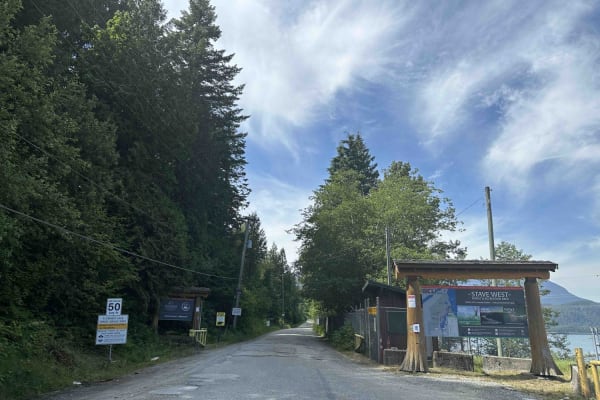
Florence Lake FSR
Florence FSR runs along the west side of Stave Lake. There is a Dam and Generating Station on Stave Lake that you can cross if you want to explore the east side of the lake. The road to Rock Creek is well maintained and most vehicles should be able to make the trek. However, the washboarding is pret...
Learn more about Florence Lake FSR
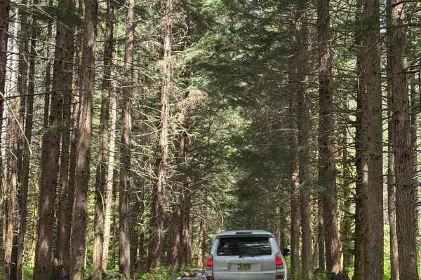
Salsbury Lake Trail
This short trail will take you along the Lost Creek Forest Service Road terminating at Salsbury Lake Recreation Site. The trail is well maintained for the majority of the trip, with some sections prone to large potholes. Expect loose rocks and steep sections throughout the trail with multiple water ...
Learn more about Salsbury Lake Trail
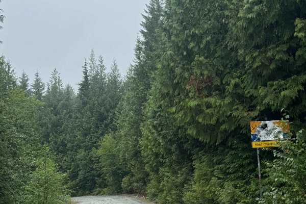
Fire Creek Swimming Hole
This is a narrow, one-vehicle-wide gravel forest road with room to pass that travels past the Fire Creek Swimming Hole. There are a couple of spots for camping near the swimming hole, and the road ends at a bright yellow gate about a mile from Stave Lake that is posted as private with no public acce...
Learn more about Fire Creek Swimming Hole
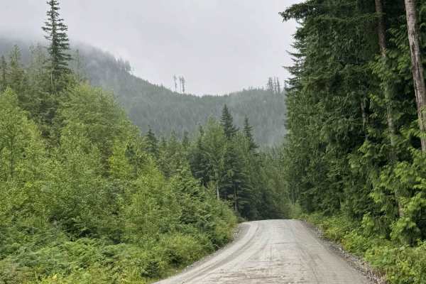
Lost Creek
This is a gravel forest road that leads you into a network of trails. The route is wide enough for two vehicles most of the way, with several one-lane bridges. There are turnouts should you encounter other vehicles. There are minor washboards and potholes, but overall this is an easy route that is s...
Learn more about Lost Creek
Lost Twin
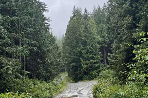
This is a gravel forest road with some rock in the trail. The trail gradually climbs nearly 500 feet over 1.7 miles to a dead-end campsite at Twin Lakes. The trail is narrow and one vehicle wide, with overgrown vegetation and tight trees the last quarter mile. There are many humps/whoops and one ver...
Learn more about Lost Twin
Kenyon Lake Trail
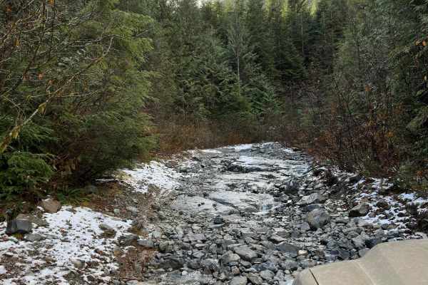
This is a short but technical trail to a beautiful hidden lake. You will find various obstacles such as washouts with logs, loose rock hill climbs, root sections, and optional rock faces with two routes. A spotter is recommended if you're new to the trail, and 33" tires minimum with 2"+ lift is reco...
Learn more about Kenyon Lake Trail
Side 2
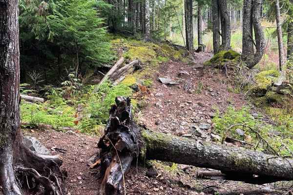
Side 2 is one of the furthest back trails in this network and branches off of Side 1 trail. It is similar to Side 1 but has a few more small technical sections. Overall, there are more loose rocks, but those can be fairly easily navigated with maintained speed, and there is also one fallen tree that...
Learn more about Side 2
Side 1
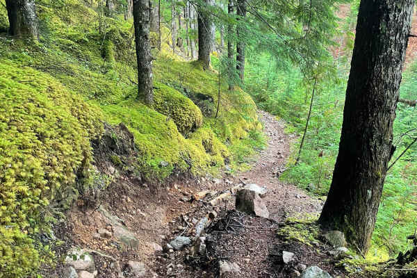
Side 1 trail is a bit of a different dirt style than the trails that get you back to this area. It is a narrower singletrack and traverses a hillside as it climbs. There are a couple of small steep punches with some embedded rocks in them, but overall not the most technical of trails. The overall pa...
Learn more about Side 1
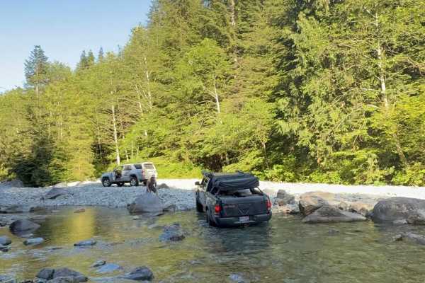
Grotto Falls
Grotto Falls Trail winds through and up the coastal mountains of British Columbia, ending at a lovely waterfall swimming hole. The majority of the trail follows a forest service road, with the final few kilometers being the roughest part of the journey. The forest service road winds through the beau...
Learn more about Grotto Falls
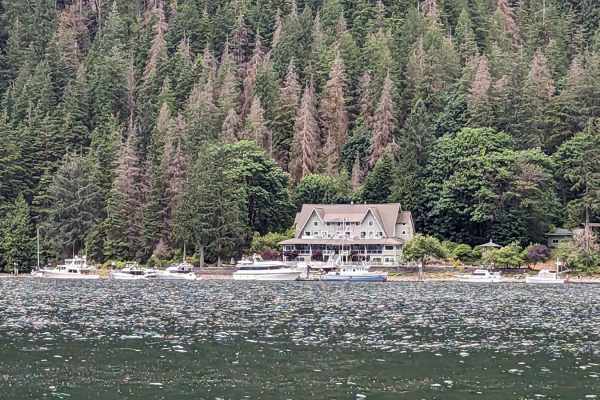
Squamish Indian Arm FSR
This gravel road leads from Squamish town in BC to the north end of Indian Arm-an ocean inlet. It is a Forest Service road that is not regularly maintained. You'll encounter gravel with loose sharp rocks, and it's pretty steep at the beginning (9-12 degrees). Since it's at a higher elevation, snow i...
Learn more about Squamish Indian Arm FSR
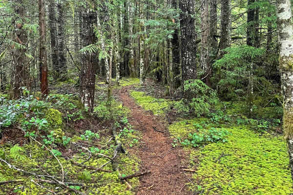
Soft Serve Connector
Soft Serve Connector is a straightforward and easy-to-ride connector trail branching from Ring Creek FSR to the top of Soft Serve. It starts out relatively flat and starts to climb up around halfway. It is a great trail for accessing Soft Serve if you want to descend it or as a way out after finishi...
Learn more about Soft Serve Connector
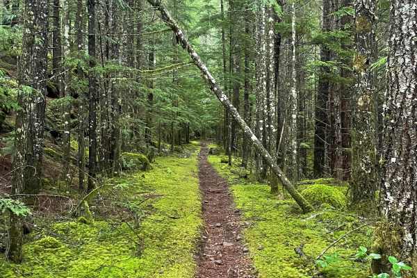
Bailout
Bailout is another short trail in this area that provides the means in and out of Barrel (before/after really challenging section depending on direction). It is straightforward and fast to ride as it cruises the flats through the forest. It starts out as narrow singletrack and soon after starts to w...
Learn more about Bailout
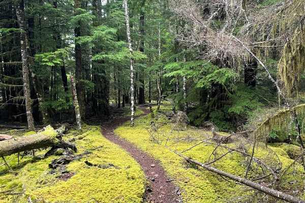
Whistle Punk
Whistle Punk is a short little trail that branches off of Whiskey Bet near the middle portion. It is an out-and-back trail and contains no obstacles other than a few tiny trees (think the size thickness of your arm) that you can just roll over. The rest of the trail is moderately paced and quite smo...
Learn more about Whistle Punk
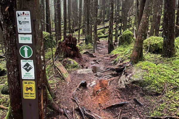
Stupid
Stupid is a short but very technical trail that branches between Moto World and Smokey Bees. It can be tied together with Smokey Bees and Fat Hand for loads and loads of advanced tech. This trail loses/gains some vert and is either roots or rocks or a combo of both the entire duration. The rocks are...
Learn more about Stupid
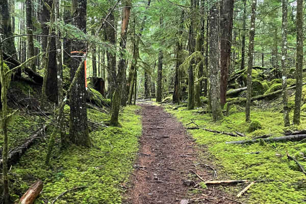
Doubletrack
Doubletrack is a straightforward and very easy trail to ride. It has no obstacles and maintains a fairly moderate pace the entire way until right at the very end, when it connects into Hard Hat and Green Hell. It serves as a way to enter both trails as well as the means to exit both trails if not co...
Learn more about Doubletrack
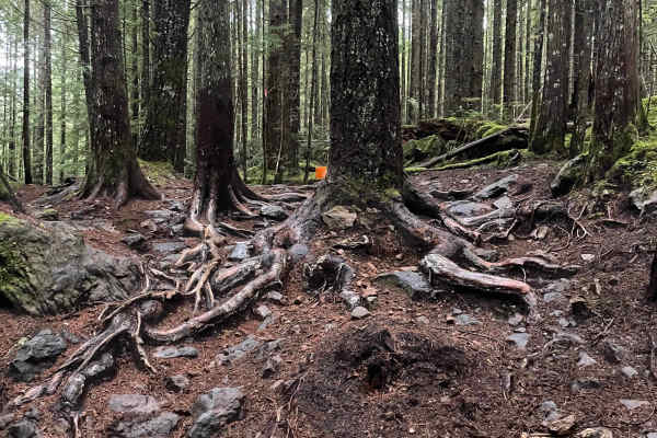
Moto World
Moto World is a unique, feature-filled trail and an overall advanced, skilled one in this area. It is relatively difficult to ride in some sections and fast and open in others. There are a few really, really rocky and rooty sections that can be tough, but there are some lines within that make them r...
Learn more about Moto World
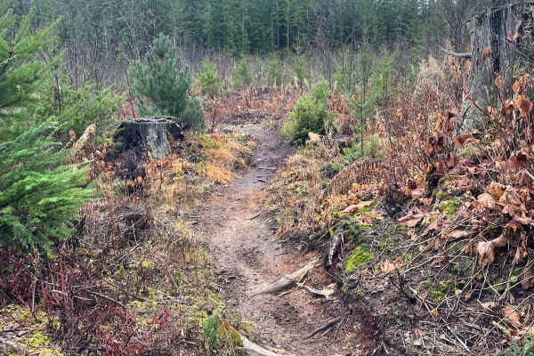
Less Sticks
Less Sticks is another trail that branches off of One Stick At A Time. It has a very similar trail speed and style as it meanders through a clear-cut and weaves between trees. It appears to be fresher than One Stick At A Time and only has a small fraction of the amount of roots exposed in it. Great...
Learn more about Less Sticks
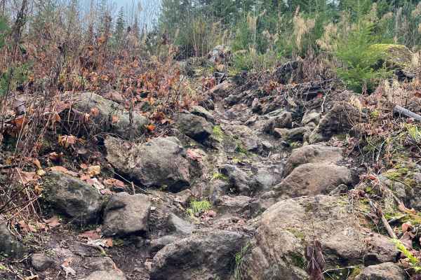
Steambreather 1
Steambreather 1 is a fitting name because there is no doubt you'll start steamin' in spots. Overall, this trail leans on the very advanced side and is very technical. The overall speed is quite slow, and every tech section comes in punches. Between the hardest sections, there is no shortage of large...
Learn more about Steambreather 1
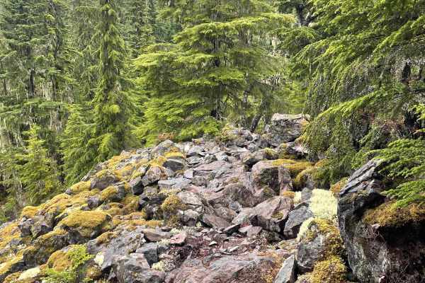
Soft Serve
Soft Serve is an extremely challenging hard enduro trail in this network. Overall, it has just about everything challenging to throw at you. There are sections of giant loose rocks, steep scrambles up a rutted chute with loose rocks galore, pivot turns, steep, larger spiderweb root sections (plural)...
Learn more about Soft Serve
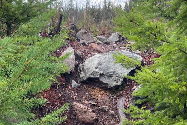
Advance and Vanquish
Advance and Vanquish is another tough and challenging tech trail that connects on one end of Steambreather. It is quite slow in speed and meanders through tighter turns at the edge of a clear-cut zone. It has a few scattered rock and root sections of moderate difficulty and a few more advanced lines...
Learn more about Advance and Vanquish
ATV trails near Anmore, British Columbia
Explore ATV-friendly trails near you. These trails are accessible for vehicles up to 50 inches wide, perfect for ATVs and smaller off-road machines.
Florence Lake FSR
Florence FSR runs along the west side of Stave Lake. There is a Dam and Generating Station on Stave Lake that you can cross if you want to explore the east side of the lake. The road to Rock Creek is well maintained and most vehicles should be able to make the trek. However, the washboarding is pret...
Learn more about Florence Lake FSR
Salsbury Lake Trail
This short trail will take you along the Lost Creek Forest Service Road terminating at Salsbury Lake Recreation Site. The trail is well maintained for the majority of the trip, with some sections prone to large potholes. Expect loose rocks and steep sections throughout the trail with multiple water ...
Learn more about Salsbury Lake Trail
Fire Creek Swimming Hole
This is a narrow, one-vehicle-wide gravel forest road with room to pass that travels past the Fire Creek Swimming Hole. There are a couple of spots for camping near the swimming hole, and the road ends at a bright yellow gate about a mile from Stave Lake that is posted as private with no public acce...
Learn more about Fire Creek Swimming Hole
Lost Creek
This is a gravel forest road that leads you into a network of trails. The route is wide enough for two vehicles most of the way, with several one-lane bridges. There are turnouts should you encounter other vehicles. There are minor washboards and potholes, but overall this is an easy route that is s...
Learn more about Lost Creek
UTV/side-by-side trails near Anmore, British Columbia
Find UTV and side-by-side trails near you. These trails accommodate vehicles up to 60 inches wide, ideal for UTVs, side-by-sides, and wider off-road rigs.
Florence Lake FSR
Florence FSR runs along the west side of Stave Lake. There is a Dam and Generating Station on Stave Lake that you can cross if you want to explore the east side of the lake. The road to Rock Creek is well maintained and most vehicles should be able to make the trek. However, the washboarding is pret...
Learn more about Florence Lake FSR
Salsbury Lake Trail
This short trail will take you along the Lost Creek Forest Service Road terminating at Salsbury Lake Recreation Site. The trail is well maintained for the majority of the trip, with some sections prone to large potholes. Expect loose rocks and steep sections throughout the trail with multiple water ...
Learn more about Salsbury Lake Trail
Fire Creek Swimming Hole
This is a narrow, one-vehicle-wide gravel forest road with room to pass that travels past the Fire Creek Swimming Hole. There are a couple of spots for camping near the swimming hole, and the road ends at a bright yellow gate about a mile from Stave Lake that is posted as private with no public acce...
Learn more about Fire Creek Swimming Hole
Lost Creek
This is a gravel forest road that leads you into a network of trails. The route is wide enough for two vehicles most of the way, with several one-lane bridges. There are turnouts should you encounter other vehicles. There are minor washboards and potholes, but overall this is an easy route that is s...
Learn more about Lost Creek
The onX Offroad Difference
onX Offroad combines trail photos, descriptions, difficulty ratings, width restrictions, seasonality, and more in a user-friendly interface. Available on all devices, with offline access and full compatibility with CarPlay and Android Auto. Discover what you're missing today!
Open Trail Map