
Dirt Bike Trails
Near Angustura, New Mexico
Explore All Dirt Bike Trails Near Angustura, New Mexico
Dirt Bike Trails Near Angustura, New Mexico
Discover the best dirt bike trails near you. Browse trail maps, check difficulty ratings, and find your next adventure — whether you're looking for a quick ride or an all-day expedition.
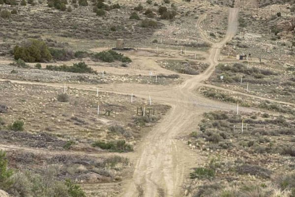
Arizona Road/CR 4900 Extension
Just north of Bloomfield, this route is primarily used by locals and oil and gas trucks to access oil sites or the trails that crisscross the area between NM 550. From Bloomfield, it's the access point to a lot of great places east of US 550, north of US 64, west of the San Juan River, and south of ...
Learn more about Arizona Road/CR 4900 Extension
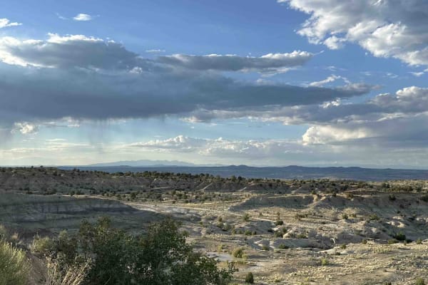
Angel Peak Loop
Starting in the high desert immediately adjacent to a canal, the loop utilizes BLM oil roads to dip down into the badlands surrounding Angel Peak. Zig-zagging across the sandy washes that weave through the bottom of Kutz Canyon, the loop encircles Angel Peak for an all-angles view of the peak and fo...
Learn more about Angel Peak Loop
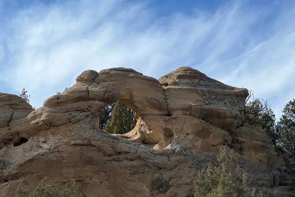
Crow Canyon Option
This easy route allows access to the incredible Crow Canyon Petroglyphs and Pueblito without having to drive across Largo Canyon. The Five-Mile Bridge crossing Largo Canyon was the main access until it washed out in 2024 and there are not any current replacement options. The bridge was deemed struct...
Learn more about Crow Canyon Option
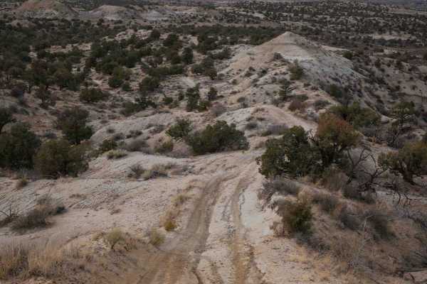
CMT East Loop
This loop starts from an oil well access road and enters the desert terrain on a mid-width trail ideal for 60" SXSs, ATVs, and dirt bikes. Going counterclockwise from the south, it goes out onto a ridgeline on the soft clay dirt hills in this badlands-type terrain. The ridgeline has a lot of whoops....
Learn more about CMT East Loop
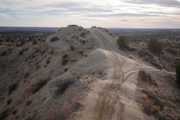
Bloomfield SXS
This is a mid-width trail ideal for 60" SXSs, ATVs, and dirt bikes that goes through a badlands-type desert terrain between Aztec and Bloomfield, New Mexico. It goes on a ridgeline on the soft clay dirt hills, overlooking the valley below. Watch out for the barbed wire fence that parallels the trail...
Learn more about Bloomfield SXS
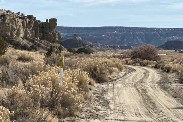
Kutz Canyon West
This oil road starts out wide and sandy but gradually becomes increasingly narrow as it winds its way deeper into the canyon. There are some ledges when entering and exiting washes, but this is a fairly easy trail for anyone with a high-clearance vehicle. Look out for narrow, deeply eroded cuts acro...
Learn more about Kutz Canyon West
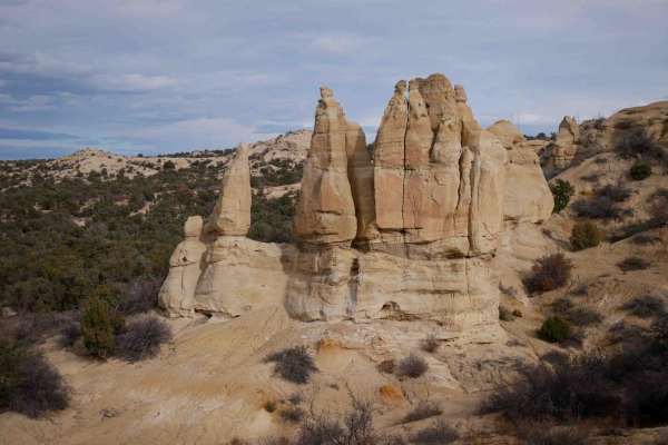
Tent Rocks
This trail starts after Anna's Ridge and continues on the narrow ridgeline on the clay hills. It has sweeping turns and little descents and climbs as it goes from each hilltop to the next. It's super fast and flowy, with whoops, but no major obstacles, just a bit of exposure on each side of the ridg...
Learn more about Tent Rocks
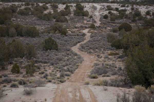
Three Eyed Monkey
This route is a mix of oil well roads, and mid-width trail ideal for 60" SxSs, ATVs, and dirt bikes. It goes through an open desert near Aztec, New Mexico. It's made up of primitive oil well/natural gas access roads that are less maintained, with shallow ruts and washouts and sandy wash crossings. Y...
Learn more about Three Eyed Monkey
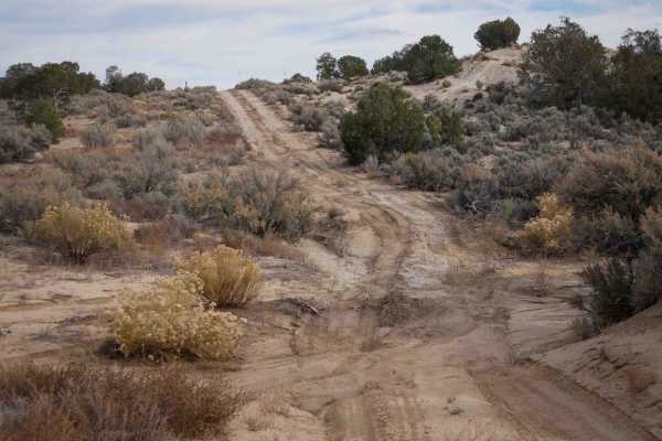
Bloomfield Pal Tour
This is mostly an oil well and natural gas line access road that is also used as a trail. It winds through a flat desert terrain, on primitive roads that have shallow ruts and overgrown bushes, and lots of intersections. Portions of the trail are on full-width oil well roads in between the more trai...
Learn more about Bloomfield Pal Tour
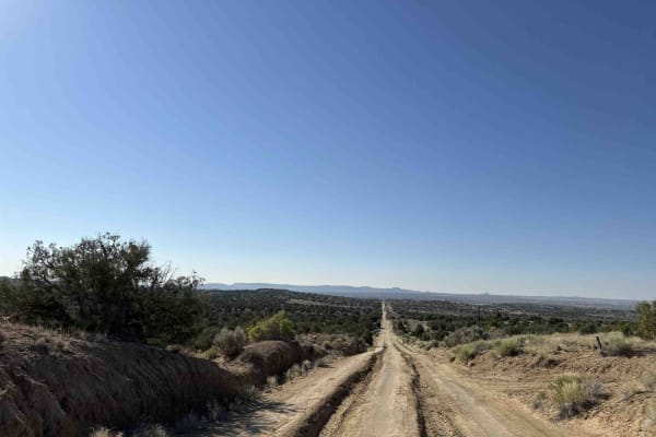
Crouch Mesa
This area is a local Bloomfield favorite. The trail crisscrosses Crouch Mesa, with the northwest end starting in Flora Vista near Road 3100 and the northeast access point picking up a little off of 550. While it is a standard two-car width and sometimes deeply rutted track, it cuts across several tr...
Learn more about Crouch Mesa
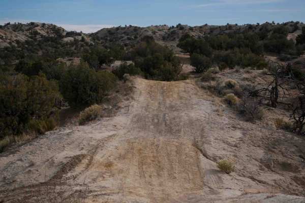
Anna's Ridge
The north end of this easy trail starts at the end of the road between the baseball diamond and dog park near Aztec, New Mexico. It goes up a steep hill right away and gets up on a ridgeline, overlooking the park and fishing pond. It goes over the rolling hills made of soft clay and dirt, on a mid-w...
Learn more about Anna's Ridge
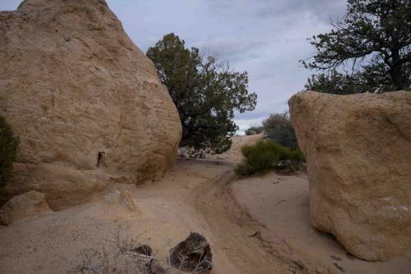
Rhinos Ridge
This short and narrow trail near Aztec, New Mexico, starts on the route for a disc golf course in badlands-type desert terrain. It's a narrow ridgeline that is most ideal for ATVs and dirt bikes but would be rather too narrow for a 60" SXS. It drops down from the ridgeline into the flat part of the ...
Learn more about Rhinos Ridge
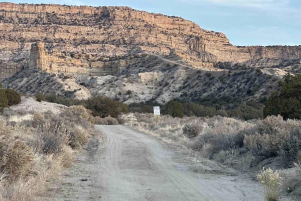
Angel's Edge
Angel's Edge offers a mix of breathtaking scenery and a few decent technical challenges. The trail begins with a flat and easy stretch across the canyon floor that rapidly gives way to a sharp ascent along the top of a narrow hogback to a wider shelf road that leads to the top of the canyon's edge. ...
Learn more about Angel's Edge
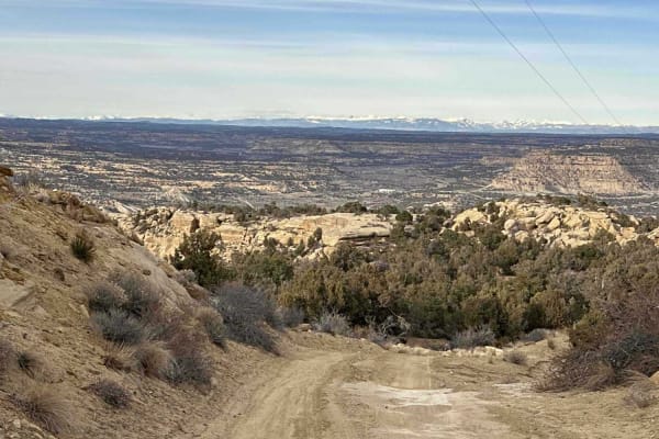
Melquadis Point
Malquadis Point is a great route that begins as an oil road turn-off from RT 64, just east of Manzanares Canyon. The trail starts with a steady climb to the top of the mesa before leveling out into a stretch of desert prairie where the trail can be heavily rutted, depending on recent weather and tra...
Learn more about Melquadis Point
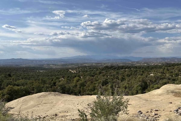
Slane Canyon
This is an easy, scenic trail that can be a leisurely Sunday afternoon drive or an all-day Saturday event. Several spurs and cut-throughs offer the opportunity for more challenging adventures. The trail winds along and to the top of Slane Canyon. Just shy of a 1,000-foot altitude gain means you'll ...
Learn more about Slane Canyon
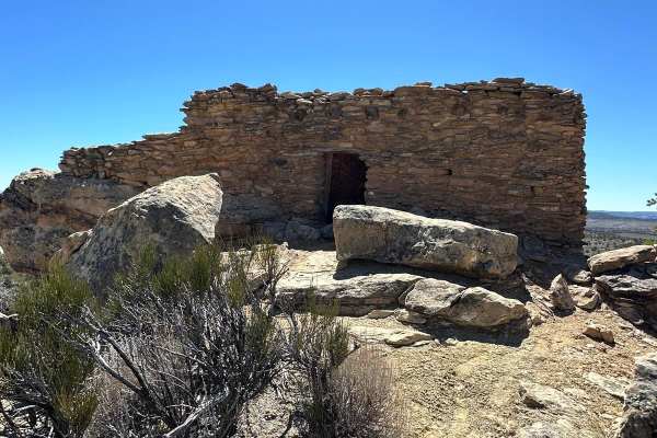
Gould Pass Pueblito
This route leaves Largo Canyon and is slightly rutted before climbing up to Gould Pass. The steep route is on the north side of the mesa. It is heavily rutted with a drastic dropoff. After Gould Pass, the route levels out and is relatively easy to the small parking area for Gould Pass Pueblito. A sh...
Learn more about Gould Pass Pueblito
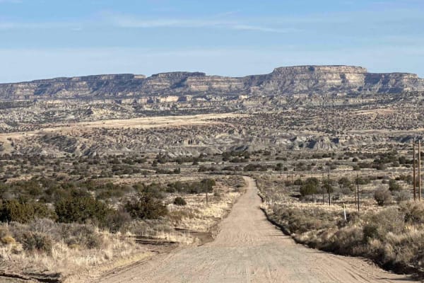
RD 7020
CR 7020 is a 7-mile off-road trail and oil access road that serves as the easiest and most direct route from Highway 550 to the Angel Peak Loop and Kutz Canyon. The trail combines sections of deep sand and packed dirt, providing a generally smooth drive under dry conditions. However, its accessibili...
Learn more about RD 7020
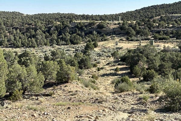
Muddy Slane Cut
This is a fun little rollercoaster crawl cutting from Mud Canyon to Slane Canyon. The fun starts slow on an oil road just off Mud Canyon Road before making a sharp turn into a deeply eroded sandy wash/pipe clearing with some fairly off-camber moments of up to 24 inches in a full-sized 4x4 vehicle. ...
Learn more about Muddy Slane Cut
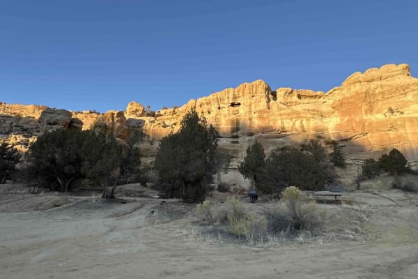
Cutter Dam
The Cutter Dam Trail winds from Largo Canyon up through Cutter Canyon, leading to the Cutter Reservoir Dam and Picnic Area. Along the way, travelers will encounter deep ruts in some sections and stretches of fairly deep sand. As the trail nears the dam, the scenery becomes increasingly picturesque, ...
Learn more about Cutter Dam
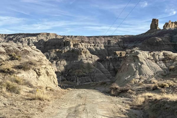
Kutz Canyon East
While this trail is not technically challenging there are a lot of terrain changes over it's 7.5-mile length. The west end of the trail starts with dirt, packed clay, and sand in a fairly open setting before climbing up over some bare sandstone with some minor ledges to drop down through surrounding...
Learn more about Kutz Canyon East
ATV trails near Angustura, New Mexico
Explore ATV-friendly trails near you. These trails are accessible for vehicles up to 50 inches wide, perfect for ATVs and smaller off-road machines.
Arizona Road/CR 4900 Extension
Just north of Bloomfield, this route is primarily used by locals and oil and gas trucks to access oil sites or the trails that crisscross the area between NM 550. From Bloomfield, it's the access point to a lot of great places east of US 550, north of US 64, west of the San Juan River, and south of ...
Learn more about Arizona Road/CR 4900 Extension
Angel Peak Loop
Starting in the high desert immediately adjacent to a canal, the loop utilizes BLM oil roads to dip down into the badlands surrounding Angel Peak. Zig-zagging across the sandy washes that weave through the bottom of Kutz Canyon, the loop encircles Angel Peak for an all-angles view of the peak and fo...
Learn more about Angel Peak Loop
Crow Canyon Option
This easy route allows access to the incredible Crow Canyon Petroglyphs and Pueblito without having to drive across Largo Canyon. The Five-Mile Bridge crossing Largo Canyon was the main access until it washed out in 2024 and there are not any current replacement options. The bridge was deemed struct...
Learn more about Crow Canyon Option
CMT East Loop
This loop starts from an oil well access road and enters the desert terrain on a mid-width trail ideal for 60" SXSs, ATVs, and dirt bikes. Going counterclockwise from the south, it goes out onto a ridgeline on the soft clay dirt hills in this badlands-type terrain. The ridgeline has a lot of whoops....
Learn more about CMT East Loop
UTV/side-by-side trails near Angustura, New Mexico
Find UTV and side-by-side trails near you. These trails accommodate vehicles up to 60 inches wide, ideal for UTVs, side-by-sides, and wider off-road rigs.
Arizona Road/CR 4900 Extension
Just north of Bloomfield, this route is primarily used by locals and oil and gas trucks to access oil sites or the trails that crisscross the area between NM 550. From Bloomfield, it's the access point to a lot of great places east of US 550, north of US 64, west of the San Juan River, and south of ...
Learn more about Arizona Road/CR 4900 Extension
Angel Peak Loop
Starting in the high desert immediately adjacent to a canal, the loop utilizes BLM oil roads to dip down into the badlands surrounding Angel Peak. Zig-zagging across the sandy washes that weave through the bottom of Kutz Canyon, the loop encircles Angel Peak for an all-angles view of the peak and fo...
Learn more about Angel Peak Loop
Crow Canyon Option
This easy route allows access to the incredible Crow Canyon Petroglyphs and Pueblito without having to drive across Largo Canyon. The Five-Mile Bridge crossing Largo Canyon was the main access until it washed out in 2024 and there are not any current replacement options. The bridge was deemed struct...
Learn more about Crow Canyon Option
CMT East Loop
This loop starts from an oil well access road and enters the desert terrain on a mid-width trail ideal for 60" SXSs, ATVs, and dirt bikes. Going counterclockwise from the south, it goes out onto a ridgeline on the soft clay dirt hills in this badlands-type terrain. The ridgeline has a lot of whoops....
Learn more about CMT East Loop
The onX Offroad Difference
onX Offroad combines trail photos, descriptions, difficulty ratings, width restrictions, seasonality, and more in a user-friendly interface. Available on all devices, with offline access and full compatibility with CarPlay and Android Auto. Discover what you're missing today!
Open Trail Map