
Dirt Bike Trails
Near Acton, Montana
Explore All Dirt Bike Trails Near Acton, Montana
Dirt Bike Trails Near Acton, Montana
Discover the best dirt bike trails near you. Browse trail maps, check difficulty ratings, and find your next adventure — whether you're looking for a quick ride or an all-day expedition.
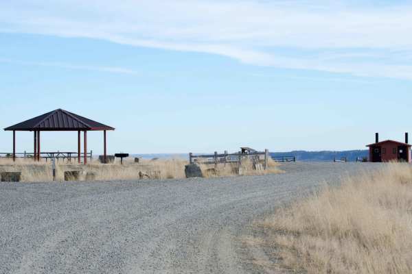
Acton Recreation Area
Located north of Billings, Montana, the Acton Recreation Area features an easy 3.6-mile off-road trail through rolling BLM and state-managed lands. With elevations ranging from 3,545 to 3,950 feet and a mild 209-foot elevation gain, this dirt two-track is rated a 2 out of 10. It is ideal for beginne...
Learn more about Acton Recreation Area
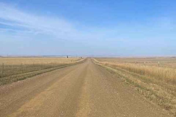
Molt Rapelje Road
This is a gravel road connector from Molt to Rapelje. You will see more antelope and cows than cars or people along this route. Most of the road is surrounded by private property, so there are no camping opportunities on this route. There are no services between the two small towns, so be prepared w...
Learn more about Molt Rapelje Road
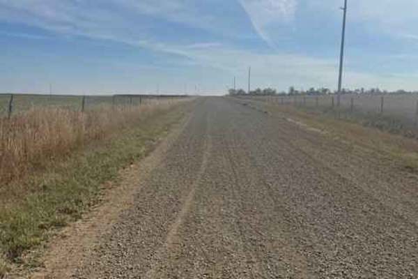
Rapelje Road
This is a gravel road connector from Big Timber to Rapelje. You will see more antelope and cows than cars or people along this route. Most of the road is surrounded by private property, so zero camping opportunities exist. There are services in Big Timber, but none in Rapelje, so be prepared. There...
Learn more about Rapelje Road
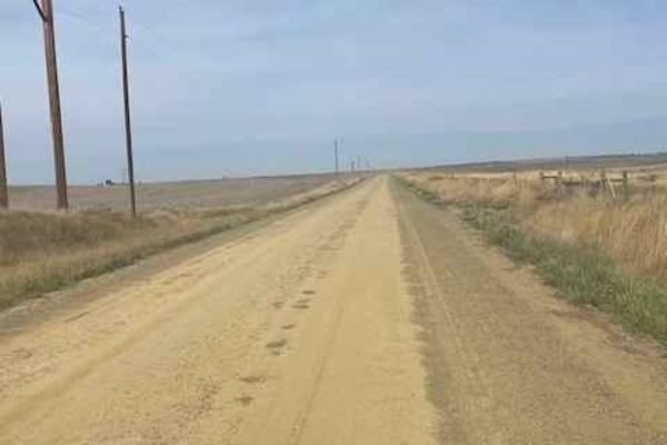
Columbus Molt Road
This is a gravel road connector from Columbus to Molt. You will see more antelope and cows than cars or people along this route. Most of the road is surrounded by private property, so zero camping opportunities exist. There are services in Columbus, but none in Molt, so be prepared. There is fairly ...
Learn more about Columbus Molt Road
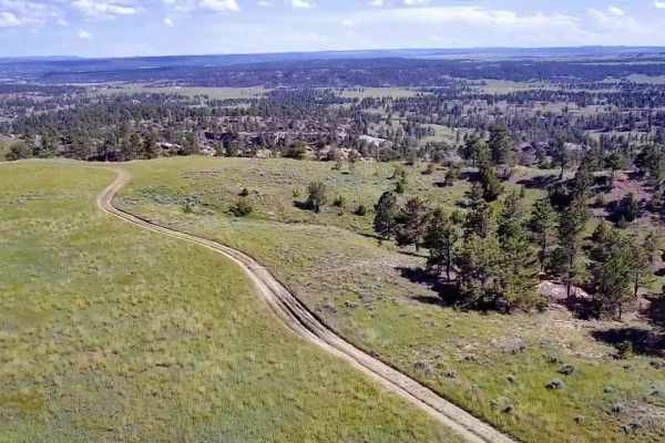
Horsethief Recreation Area
Horsethief Recreation Area has easy dirt trails with few steep sections or obstacles. Trails are all connected or out-and-back, so it is unlikely that people will get lost out here. This is the main route connecting the north and south access/parking areas. There are several trails off of this main ...
Learn more about Horsethief Recreation Area
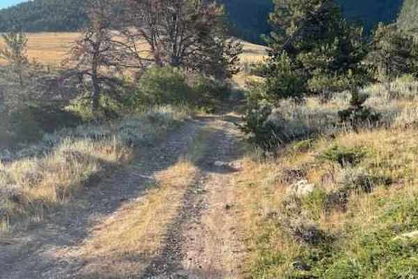
Powerline Road
Powerline Road connects Pryor Mountain Road to Railroad Grade Road. Part of this road lies on BLM land and part of it lies on Custer National Forest Land. The section that is on BLM land is well-maintained and very easy. Once you get to the Custer National Forest section, it is no longer maintained....
Learn more about Powerline Road
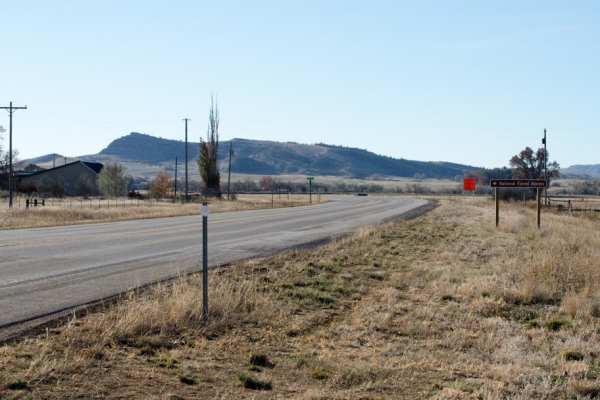
Pryor Mountain Road
One of the many access routes to the Pryor Mountains, is Pryor Mountain Road, south of Bridger, MT. Top off your tank in Bridger and head south. Approximately 1.25 miles south on Highway 310 after the merge of Highway 72 to Cody, WY and Highway 310 to Lovell, WY, turn left (east) on Prior Mountain...
Learn more about Pryor Mountain Road
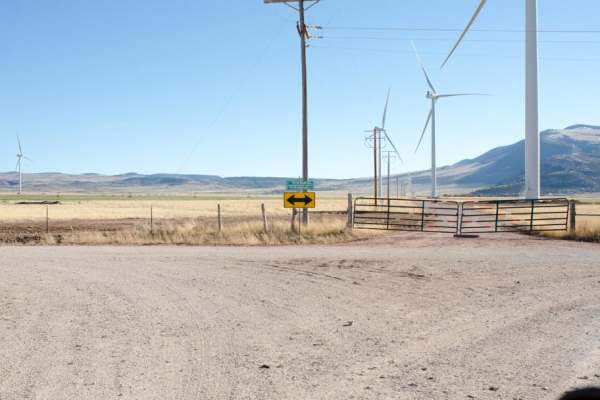
South Pryor Mountain Road
South Pryor Mountain Road is an easy 2.8-mile dirt passage near Bowler, Montana ideal for scenic drivers, beginners and standard passenger vehicles seeking views of the Pryor Mountain Wind Project. Running through open ranchland and agricultural fields, this well-maintained corridor connects Pryor M...
Learn more about South Pryor Mountain Road
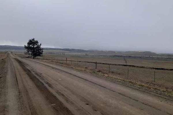
Stillwater River Road
This is a well-maintained gravel road that follows the Stillwater River. It's open year-round with limited access during heavy snowy weather. The first 6.5 miles is a paved two-lane road west of Absarokee before turning into gravel and then back into pavement 1.2 miles before the junction with Nye R...
Learn more about Stillwater River Road
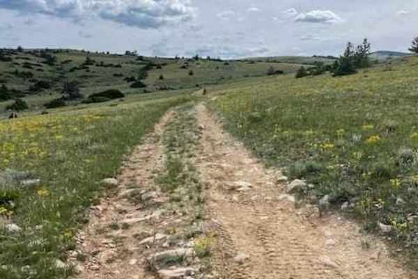
Miller Trail #2496
Miller Trail begins approximately 0.5 miles from the intersection of South Railbed Road and South Pryor Mountain Road. The trail is marked at the top only for some reason, but not at the bottom, so it is easy to miss. There is a nice staging area about 0.25 miles in to unload 4x4s. The trail itself ...
Learn more about Miller Trail #2496
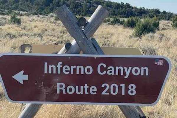
Inferno Canyon
Inferno Canyon is one of many ways to get to the top of Big Pryor Mountain. The top and bottom third of Inferno Canyon are both relatively easy. The middle third is rocky and very loose, with a couple of steep climbs that have several, sometimes large ledges to ascend. If you are in a full-size ...
Learn more about Inferno Canyon
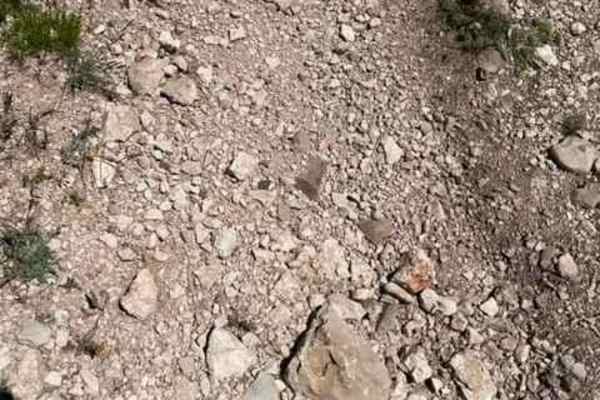
King Trail #2011
King Trail is one of the more challenging routes to get to the top of Pryor Mountain. It is a rugged road that leads up to Stockman Trail and others. It has several steep, loose climbs that will require 4WD and possibly some lift to clear a couple of 18" ledges.
Learn more about King Trail #2011
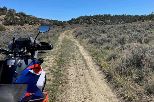
Hatcher Pass
Hatcher Pass is an out-and-back off of Cottonwood Road. There are a couple of loose and slightly rutted sections, but nothing challenging. This trail ends at a closed gate bordering private property and you will have to turn around. There is a decent campground about a quarter mile in with some shad...
Learn more about Hatcher Pass
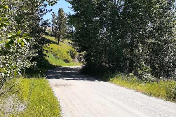
West Bridger Creek Cruise
A well-established trail, with some paved and gravel patches leading to the National Forest, the last 5 miles are the main dirt trail. The trail can be driven up to the Tie Cutter Gulch TH; from that point, vehicle width is restricted to less than 50 inches and dates of use. One will encounter some ...
Learn more about West Bridger Creek Cruise

Hunt Creek
Hunt Creek is an easy road up to Ridge Road. It is a little loose and slightly rutted in places but it's a more fun route to take than Cottonwood Road. There are a couple of side spurs that have some nice climbs over to Cottonwood Road if you are feeling a little spicy. Avoid this trail when it's r...
Learn more about Hunt Creek
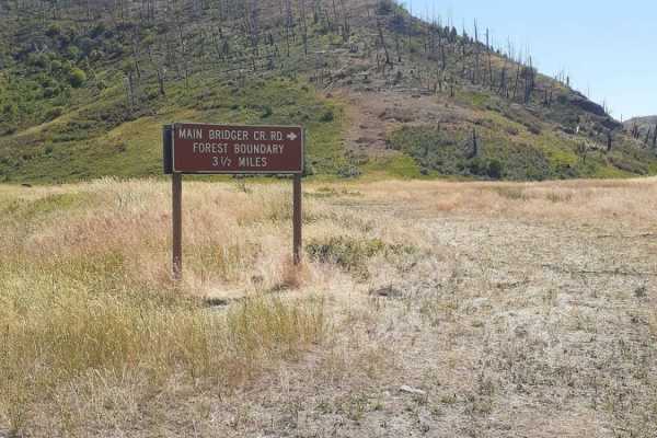
Bridger Creek Cruise
Enjoy this easy cruise, along Bridger Creek, off of Bridger Creek Road, named Main Bridger Creek Road. This route leads into the Gallatin National Forest; via sections of private and BLM land, the road starts out wide and clear gravel with room for passing vehicles as the route gets into the Nationa...
Learn more about Bridger Creek Cruise
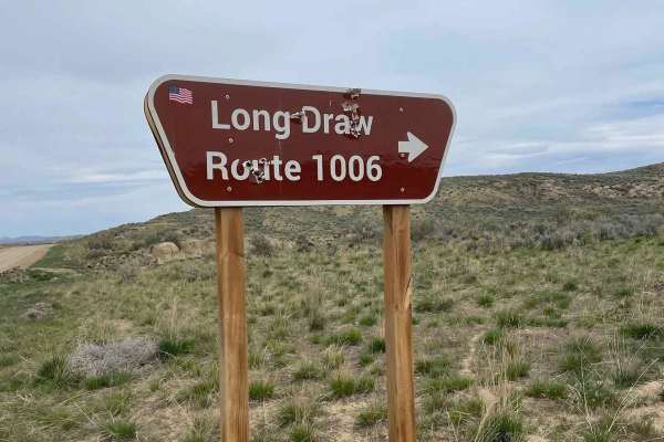
Long Draw Road
This is a fun way up to Ridge Road that is pretty loose and fairly rutted in spots. This is a great trail to warm up on early in the year, as it is rideable months before the Bighorns will be. Depending on the weather, it might be possible to ride this all year long. Avoid this trail during the rain...
Learn more about Long Draw Road
Ridge Road #1005
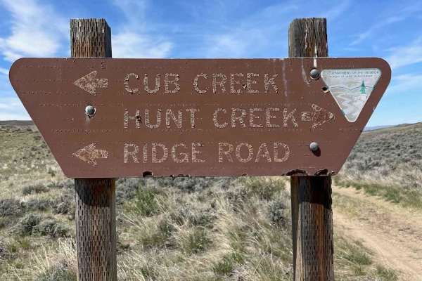
Ridge Road is the backbone of the Elk Basin area. It starts in Montana and goes into Wyoming. This is mostly an easy route with access to several other trails in the area. There is a great campsite just on the Wyoming side with magnificent views of the Beartooth Mountains. This road is a mess when r...
Learn more about Ridge Road #1005
Cottonwood Road
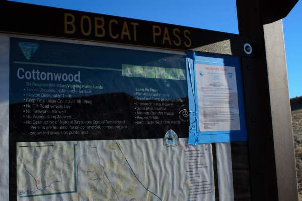
Cottonwood Road, located between Highway 310 and Highway 72, south of Bridger, Montana, provides motorized and OHV access to over 100 square miles of BLM and State land. Bobcat Pass Road, to the west, is accessible by Cottonwood Road and provides miles of braided roads throughout the 100 plus square...
Learn more about Cottonwood Road
South Railbed Road
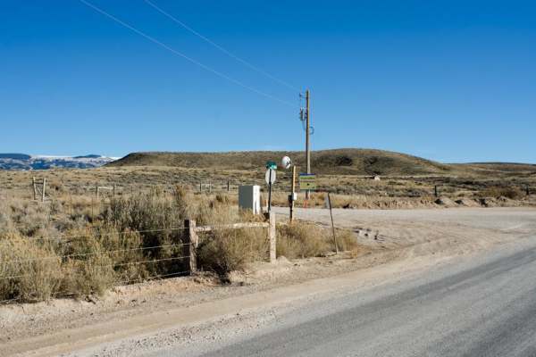
South Railbed Road leads south along the Pryor Mountain front to Warren, MT. Windmills are abundant in this area, known as the Pryor Mountain Wind Project. South Railbed Road is well maintained and accessible by most vehicles during the dry season. Due to the lack of gravel in most areas, this roa...
Learn more about South Railbed Road
ATV trails near Acton, Montana
Explore ATV-friendly trails near you. These trails are accessible for vehicles up to 50 inches wide, perfect for ATVs and smaller off-road machines.
Acton Recreation Area
Located north of Billings, Montana, the Acton Recreation Area features an easy 3.6-mile off-road trail through rolling BLM and state-managed lands. With elevations ranging from 3,545 to 3,950 feet and a mild 209-foot elevation gain, this dirt two-track is rated a 2 out of 10. It is ideal for beginne...
Learn more about Acton Recreation Area
Rapelje Road
This is a gravel road connector from Big Timber to Rapelje. You will see more antelope and cows than cars or people along this route. Most of the road is surrounded by private property, so zero camping opportunities exist. There are services in Big Timber, but none in Rapelje, so be prepared. There...
Learn more about Rapelje Road
Columbus Molt Road
This is a gravel road connector from Columbus to Molt. You will see more antelope and cows than cars or people along this route. Most of the road is surrounded by private property, so zero camping opportunities exist. There are services in Columbus, but none in Molt, so be prepared. There is fairly ...
Learn more about Columbus Molt Road
Horsethief Recreation Area
Horsethief Recreation Area has easy dirt trails with few steep sections or obstacles. Trails are all connected or out-and-back, so it is unlikely that people will get lost out here. This is the main route connecting the north and south access/parking areas. There are several trails off of this main ...
Learn more about Horsethief Recreation Area
UTV/side-by-side trails near Acton, Montana
Find UTV and side-by-side trails near you. These trails accommodate vehicles up to 60 inches wide, ideal for UTVs, side-by-sides, and wider off-road rigs.
Acton Recreation Area
Located north of Billings, Montana, the Acton Recreation Area features an easy 3.6-mile off-road trail through rolling BLM and state-managed lands. With elevations ranging from 3,545 to 3,950 feet and a mild 209-foot elevation gain, this dirt two-track is rated a 2 out of 10. It is ideal for beginne...
Learn more about Acton Recreation Area
Rapelje Road
This is a gravel road connector from Big Timber to Rapelje. You will see more antelope and cows than cars or people along this route. Most of the road is surrounded by private property, so zero camping opportunities exist. There are services in Big Timber, but none in Rapelje, so be prepared. There...
Learn more about Rapelje Road
Columbus Molt Road
This is a gravel road connector from Columbus to Molt. You will see more antelope and cows than cars or people along this route. Most of the road is surrounded by private property, so zero camping opportunities exist. There are services in Columbus, but none in Molt, so be prepared. There is fairly ...
Learn more about Columbus Molt Road
Horsethief Recreation Area
Horsethief Recreation Area has easy dirt trails with few steep sections or obstacles. Trails are all connected or out-and-back, so it is unlikely that people will get lost out here. This is the main route connecting the north and south access/parking areas. There are several trails off of this main ...
Learn more about Horsethief Recreation Area
The onX Offroad Difference
onX Offroad combines trail photos, descriptions, difficulty ratings, width restrictions, seasonality, and more in a user-friendly interface. Available on all devices, with offline access and full compatibility with CarPlay and Android Auto. Discover what you're missing today!
Open Trail Map