Acton Recreation Area

Total Miles3.6
Technical Rating
2Easy
Best TimeSpring, Summer, Fall
Trail TypeFull-Width Road
Accessible By
Open Trail Map

Trail Overview

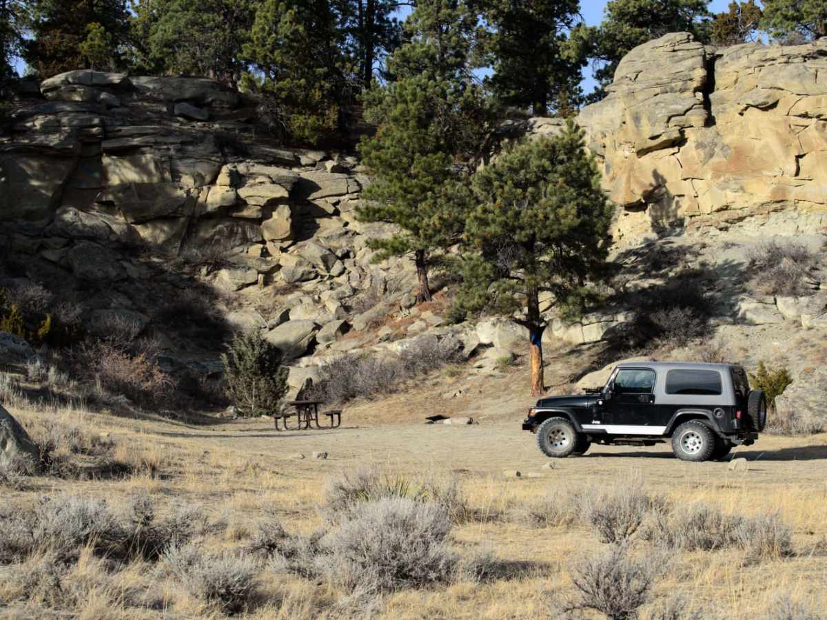
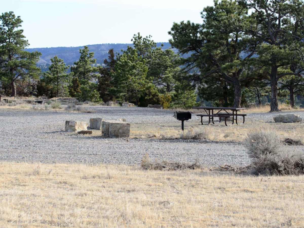
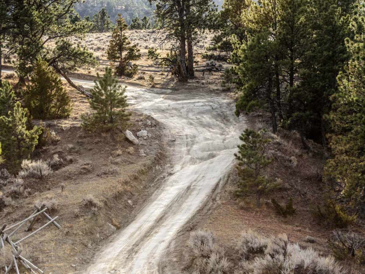
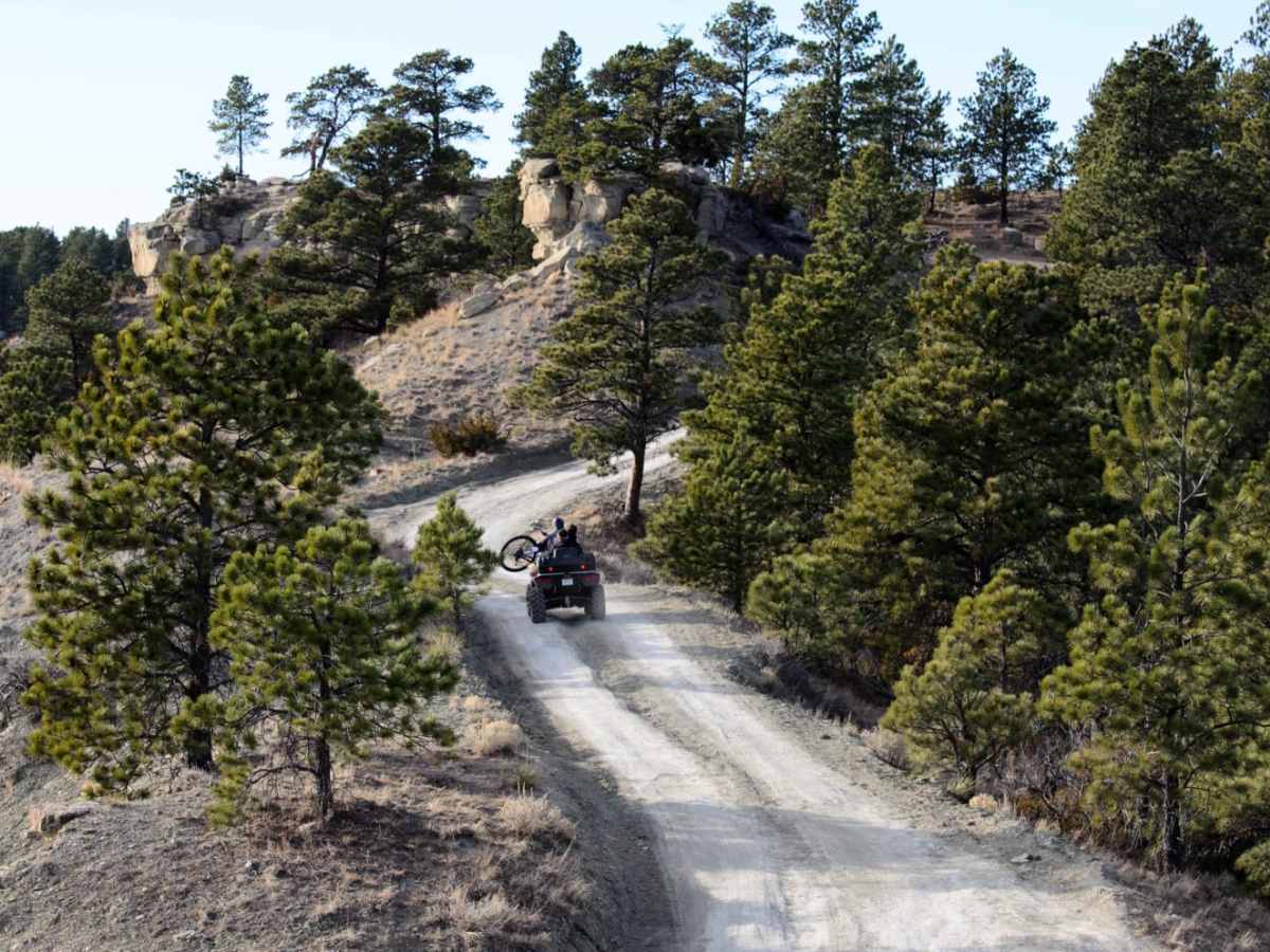
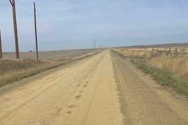
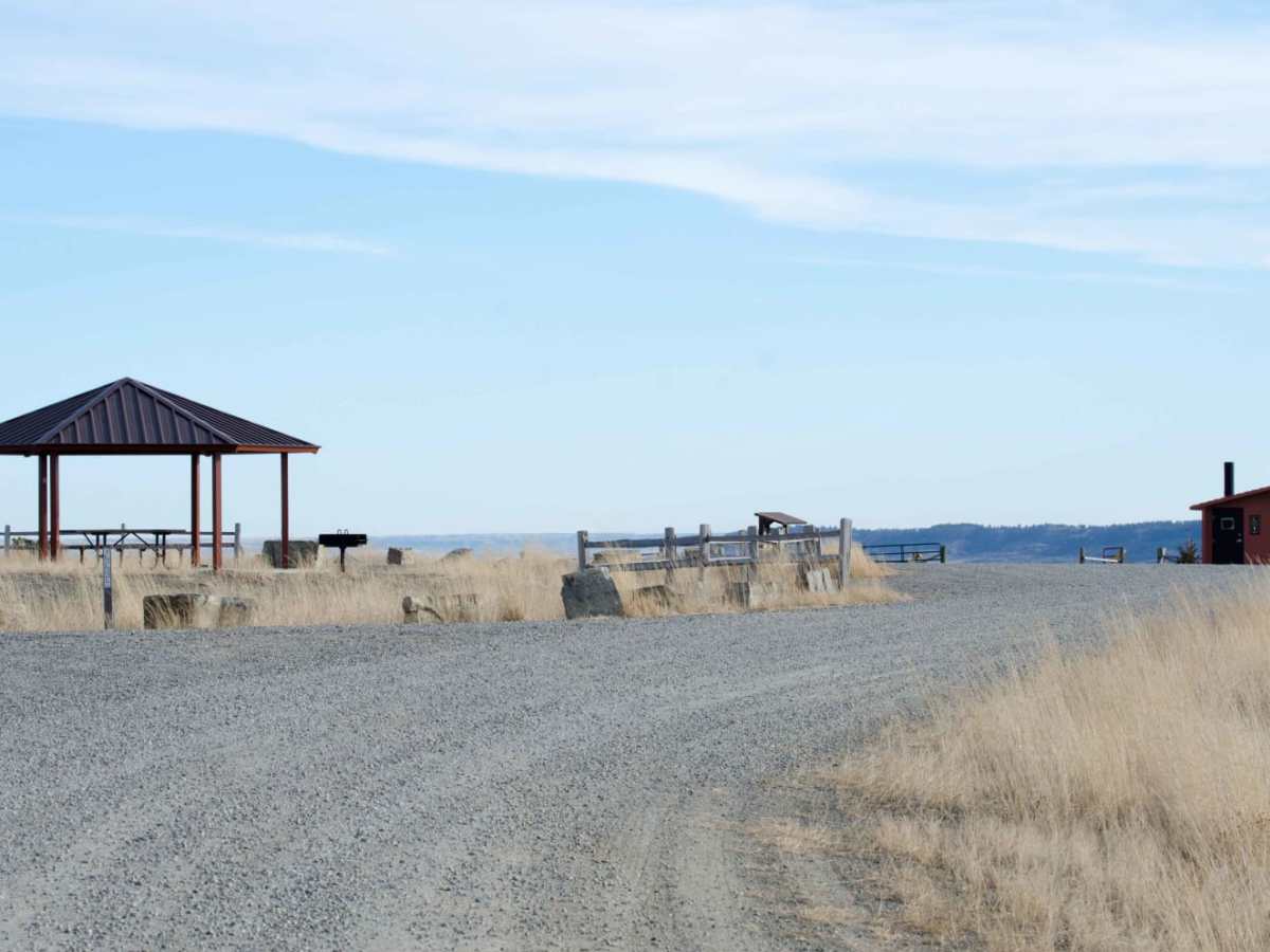
Located north of Billings, Montana, the Acton Recreation Area features an easy 3.6-mile off-road trail through rolling BLM and state-managed lands. With elevations ranging from 3,545 to 3,950 feet and a mild 209-foot elevation gain, this dirt two-track is rated a 2 out of 10. It is ideal for beginners, families, and stock high-clearance vehicles, dirt bikes, ATVs, and side-by-sides. While straightforward when dry, the trail can become muddy and impassable after rain or snowmelt. Motorized vehicles must stay strictly on designated roads to protect sensitive archaeological sites. The trailhead provides vault toilets, picnic areas, campsites, and access to non-motorized mountain biking trails.

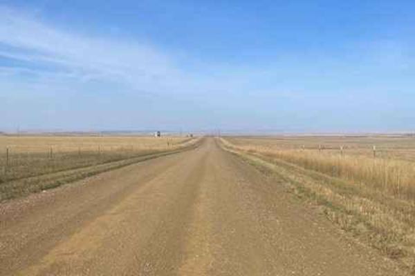
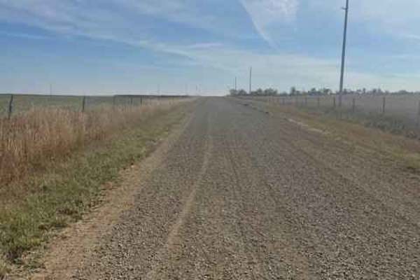
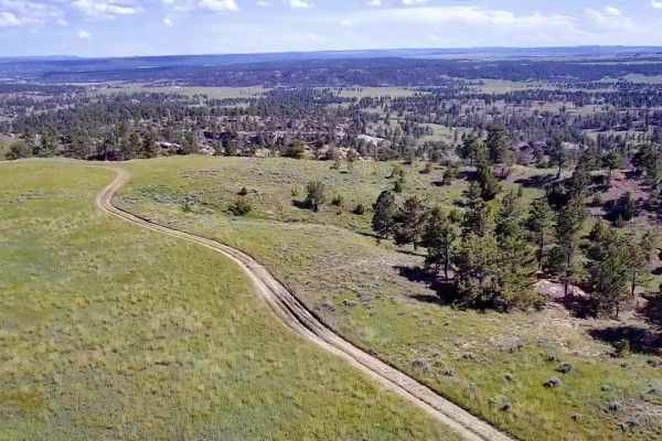
Photos of Acton Recreation Area

Difficulty

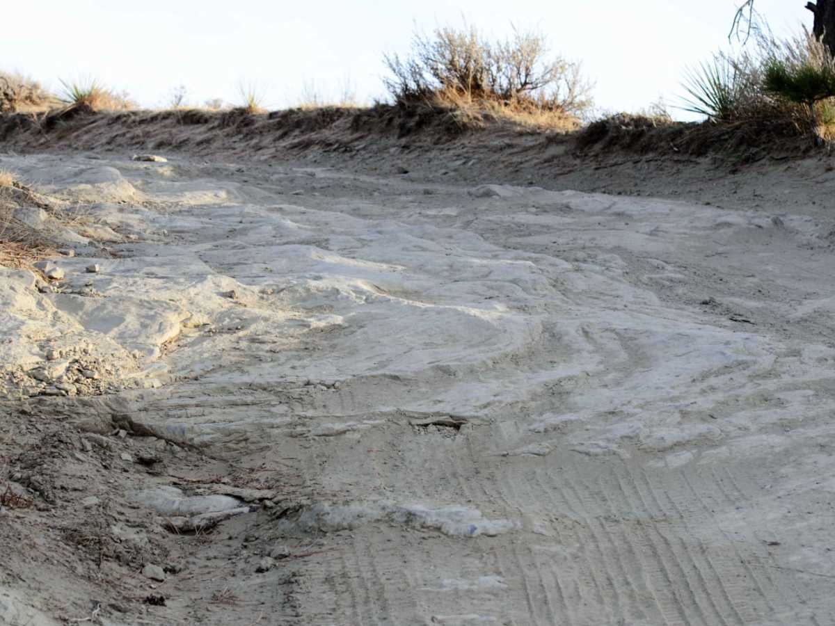
Easy dirt two track most of the year. Can become muddy and impassible after significant moisture.

Technical Rating

2

Status Reports

Add Status Report
Maddox Mariner
Oct 03, 2026
2015 Ford F-350
Open
NormalDusty
Few muddy areas easy to get around if need be
Jordan Higareda
Sep 20, 2026
2024 Chevrolet Colorado
Open
Muddy/Wet
Had rained for 3 days prior to hitting the trail and was still raining while on the trail, caused a really thick mud soup only aggressive mud trail tires would perform in. I do not have mud terrain tires and was sliding pretty easily lol. Pretty hilly otherwise and not a lot of rocks.
Brandon Coleman
Apr 07, 2026
2025 Ford Ranger
Open
NormalDusty
A couple rough/washed out areas a ways past the last campsite but had other routes to get around it. Was able to do it in 2H, pretty easy going trail.
Kobi Hudson
Jul 24, 2025
2007 Lexus GX
Open
Normal
Erik Howell
May 17, 2024
2023 Ford Bronco Sport
Open
NormalMuddy/Wet
Lots of open trails and forks to explore. Very fun!
Jake Kinder
May 18, 2023
Open
Normal

Acton Recreation Area Trail can be accessed by the following ride types:

  • Single Track
  • 50 Inch
  • 60 Inch
  • High Clearance
  • Full Width

Access Description

The area encompasses approximately 4,000 acres of Bureau of Land Management (BLM) and State Lands managed by the Department of Natural Resources and Conservation (DNRC). To protect important archaeological sites, motorized vehicles must remain strictly on designated roads, and off-road motorized travel is prohibited.

Acton Recreation Area Map

The onX Offroad Difference

onX Offroad combines trail photos, descriptions, difficulty ratings, width restrictions, seasonality, and more in a user-friendly interface. Available on all devices, with offline access and full compatibility with CarPlay and Android Auto. Discover what you're missing today!

Open Trail Map