
Beginner Off-Road Trails
Near Wintersburg, Arizona
Explore All Beginner Trails Near Wintersburg, Arizona
Beginner Off-Road Trails Near Wintersburg, Arizona
Discover the best beginner-friendly off-road trails near you. These easier, lower-rated trails are a great place to start — browse trail maps, check difficulty ratings, and find your next adventure.
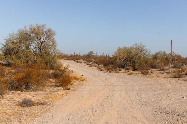
Aguila Adapter
Aguila Adapter is a smooth and straightforward trail that's perfect for a relaxing off-road experience. With no obstacles to worry about, this route offers an easy ride through beautiful desert scenery. The dirt path provides a classic off-road feel, and you'll encounter a few wash crossings that ad...
Learn more about Aguila Adapter
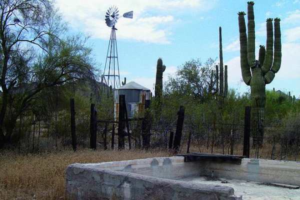
Belmont Mountain
Watch for open mine shafts on this scenic mountain road. The view from above is phenomenal. There is an optional route to the east that is narrow and fun for ATVs and UTVs.
Learn more about Belmont Mountain
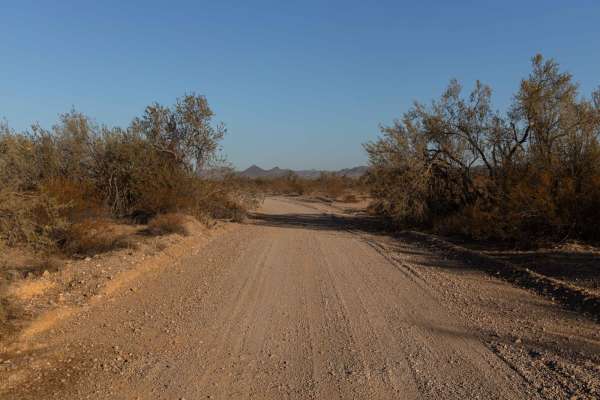
24068 Trail
The 24068 Trail offers a rugged and adventurous ride through varied desert terrain. This trail is rocky and showcases erosion in places, with wash crossings and water damage adding character to your journey. Despite its natural challenges, this trail is free of major obstacles, making it a manageabl...
Learn more about 24068 Trail
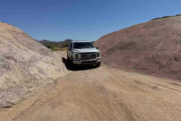
Stephens Point Trail
This is a route that tracks to the junction of a small island that is known as Stephens Point. It's a long-time gathering spot for family trips and a great location to relax in the trees and large brush away from others. While the water is dirty and murky most the year and it can have a fly issue fr...
Learn more about Stephens Point Trail
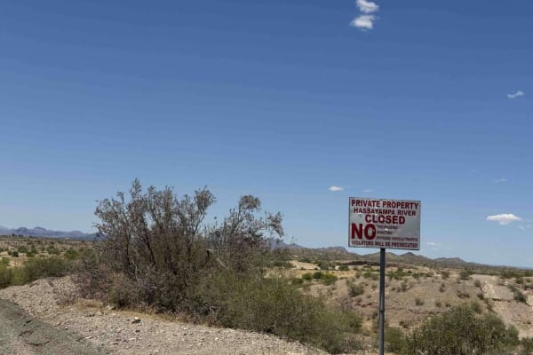
Tonopah-Salome Highway: Sun Valley Parkway to 330th Avenue
This is an easy backroad that almost any vehicle can travel. This can get very muddy during rain events and the wash can really get flowing during summer rain events. While there are no shooting signs, please use caution, as lots of illegal shooting occurs in the wash at all hours. This is a great b...
Learn more about Tonopah-Salome Highway: Sun Valley Parkway to 330th Avenue
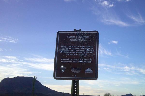
Woolsey Wash
Woolsey Wash is a multiple-surface mixed road consisting of rock, gravel, and sand. This area is prone to flooding, some sections of this road either drive in a wash or through one, please be careful in the rainy season. The road runs through Bureau Land Management and has areas that are designated ...
Learn more about Woolsey Wash
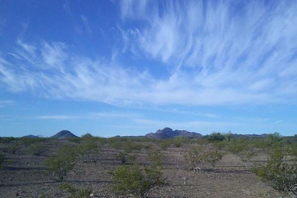
Rear Hitter #8219
Rear Hitter Road Number 8219 is a multiple mixed surface road consisting of rock, gravel, and sand. It runs through Bureau Land Management. This area is prone to flooding, some sections of this road either drive in a wash or through one, please be careful in the rainy season. Not recommended for a l...
Learn more about Rear Hitter #8219

Canal Upper East
The Canal Upper East Trail offers a high, elevated route with dramatic steep drop-offs that add a touch of excitement to the ride. While there are no obstacles to navigate, the narrow path and striking elevation demand your focus. This trail is all about the views and the thrill of riding along the ...
Learn more about Canal Upper East
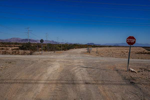
Upper Canal Track
The Upper Canal Track is a scenic gem that takes you along an elevated route with great views of the surrounding desert landscape. This trail is narrow but free of obstacles, making it a straightforward drive that's more about the scenery than the challenge. It's perfect for those looking to soak in...
Learn more about Upper Canal Track
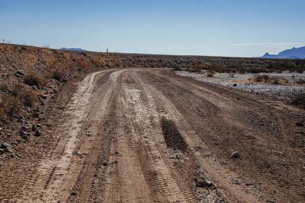
Lower Mid-Canal
The Lower Mid Canal Trail is a laid-back route that winds through the desert with rolling hills through wash crossings that add a bit of rhythm to the drive. The trail is primarily dirt and can get dusty, so be prepared for a little extra grime on your gear. With no obstacles in your way, it's an ea...
Learn more about Lower Mid-Canal
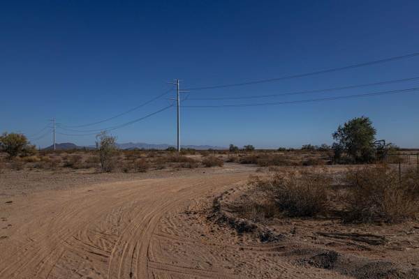
24032 Trail
The 24032 Trail is a peaceful one-lane route that follows a fence line through scenic desert terrain. The mix of dirt and gravel makes for a smooth ride, with rolling hills adding a gentle flow to the journey. You'll navigate a few washes and encounter some erosion, but with no obstacles, it's an ea...
Learn more about 24032 Trail
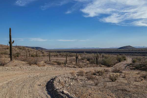
Saguaro Power
The Saguaro Power Trail offers a smooth ride through the Arizona desert with no obstacles to worry about, making it an easygoing option for off-roaders of all skill levels. You'll encounter a few wash crossings and signs of erosion along the way, but nothing too challenging. This trail is perfect fo...
Learn more about Saguaro Power
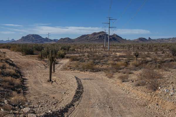
24080 Trail
The 24080 Trail is a straightforward route that delivers a mix of dirt and dusty terrain, making for an easy yet scenic drive. Expect some erosion, wash crossings, and areas of water damage, but there are no major obstacles to slow you down. This trail offers a relaxed ride through the desert, perfe...
Learn more about 24080 Trail
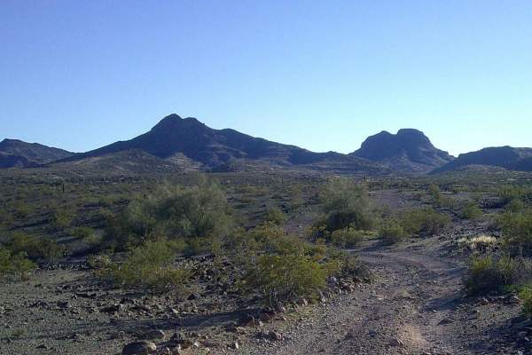
Rocky Camp
Rocky Camp road runs through Bureau Land Management. It is a mixed surface road consisting of rock, gravel, and sand. There are sections that are overgrown, so pinstripes are to be expected. This area is prone to flooding, some sections of this road either drive in a wash or through one, please be c...
Learn more about Rocky Camp
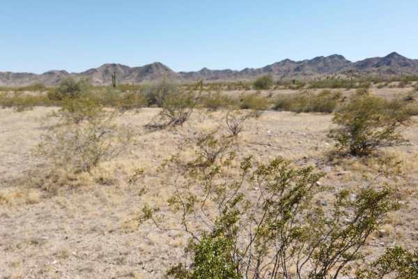
Buckeye Hills Scenic Trail
The Buckeye Hills Scenic Trail offers an incredible drive through the heart of the Buckeye Hills, connecting Robbins Butte Trail to SR 85. This route winds through classic Sonoran Desert landscapes, featuring rolling hills, wide-open desert vistas, and rugged terrain. It's a perfect mix of easygoing...
Learn more about Buckeye Hills Scenic Trail
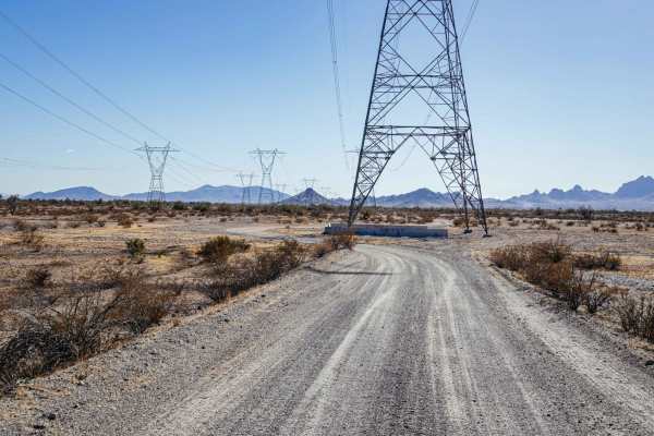
Canal to Indian School Spur
The Canal to Indian School Spur is an easygoing trail that offers a relaxing ride through Arizona's desert terrain. This wide and mostly smooth route has some areas of erosion, but there are no major obstacles, making it suitable for drivers of all skill levels. There are even a couple of cool tunne...
Learn more about Canal to Indian School Spur
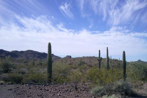
Cactus Road
Cactus road is a gravel and sandy mixed road that runs through the Bureau Land Management. There are some sections that are rutted and washed out, a long wheelbase may find some areas more challenging. There are a few camps of different sizes to choose from. This area is prone to flooding, some sect...
Learn more about Cactus Road
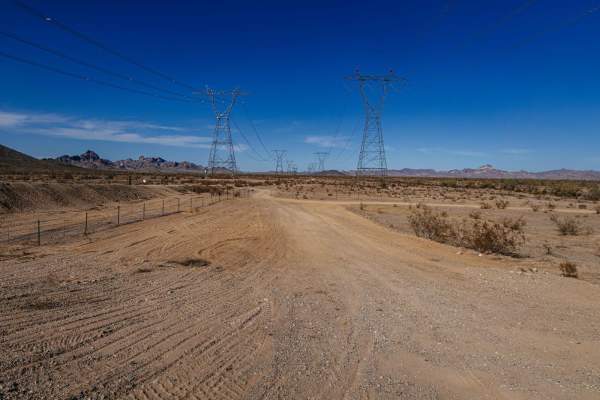
Single Power Canal
The Single Power Canal Trail offers a straightforward and scenic ride through the desert. This wide and dirt trail is dusty in places, with a few wash crossings to keep things interesting, but there are no obstacles to worry about. With 2 bars of cell service, it's a great option for those who want ...
Learn more about Single Power Canal
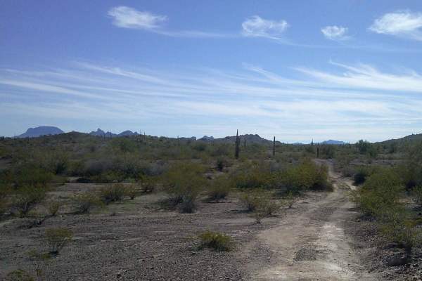
White Peaks
White Peaks road is a multi-mixed surface road of rock, sand, gravel, and dirt. There are sections of this road that run through or in a wash, the sand can be deep in areas, and these spots are prone to flash floods, do not attempt during rainy seasons. The road runs through the Bureau of Land Manag...
Learn more about White Peaks
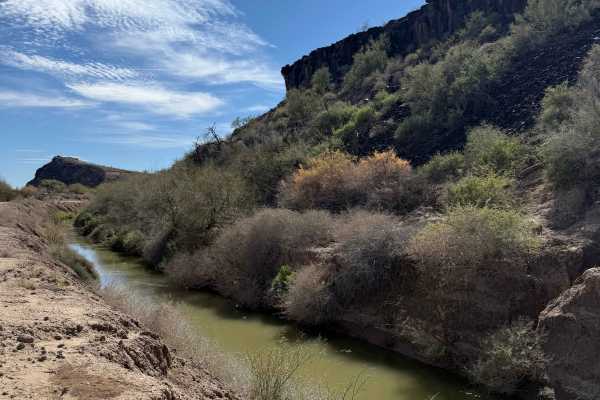
Hidden Glyph Run
This short 1-mile trail begins at Agua Caliente Road and follows the east side of the Arlington Canal, ending on the north side of the Gillespie Dam. Rated 1/10, it's an easy drive with only minor ruts and occasional washouts that may deepen after heavy rains. The real highlight isn't the terrain - ...
Learn more about Hidden Glyph Run
Beginner ATV trails near Wintersburg, Arizona
Explore ATV-friendly trails near you. These trails are accessible for vehicles up to 50 inches wide, perfect for ATVs and smaller off-road machines.
Aguila Adapter
Aguila Adapter is a smooth and straightforward trail that's perfect for a relaxing off-road experience. With no obstacles to worry about, this route offers an easy ride through beautiful desert scenery. The dirt path provides a classic off-road feel, and you'll encounter a few wash crossings that ad...
Learn more about Aguila Adapter
Belmont Mountain
Watch for open mine shafts on this scenic mountain road. The view from above is phenomenal. There is an optional route to the east that is narrow and fun for ATVs and UTVs.
Learn more about Belmont Mountain
24068 Trail
The 24068 Trail offers a rugged and adventurous ride through varied desert terrain. This trail is rocky and showcases erosion in places, with wash crossings and water damage adding character to your journey. Despite its natural challenges, this trail is free of major obstacles, making it a manageabl...
Learn more about 24068 Trail
Stephens Point Trail
This is a route that tracks to the junction of a small island that is known as Stephens Point. It's a long-time gathering spot for family trips and a great location to relax in the trees and large brush away from others. While the water is dirty and murky most the year and it can have a fly issue fr...
Learn more about Stephens Point Trail
Beginner UTV/side-by-side trails near Wintersburg, Arizona
Find UTV and side-by-side trails near you. These trails accommodate vehicles up to 60 inches wide, ideal for UTVs, side-by-sides, and wider off-road rigs.
Aguila Adapter
Aguila Adapter is a smooth and straightforward trail that's perfect for a relaxing off-road experience. With no obstacles to worry about, this route offers an easy ride through beautiful desert scenery. The dirt path provides a classic off-road feel, and you'll encounter a few wash crossings that ad...
Learn more about Aguila Adapter
Belmont Mountain
Watch for open mine shafts on this scenic mountain road. The view from above is phenomenal. There is an optional route to the east that is narrow and fun for ATVs and UTVs.
Learn more about Belmont Mountain
24068 Trail
The 24068 Trail offers a rugged and adventurous ride through varied desert terrain. This trail is rocky and showcases erosion in places, with wash crossings and water damage adding character to your journey. Despite its natural challenges, this trail is free of major obstacles, making it a manageabl...
Learn more about 24068 Trail
Stephens Point Trail
This is a route that tracks to the junction of a small island that is known as Stephens Point. It's a long-time gathering spot for family trips and a great location to relax in the trees and large brush away from others. While the water is dirty and murky most the year and it can have a fly issue fr...
Learn more about Stephens Point Trail
The onX Offroad Difference
onX Offroad combines trail photos, descriptions, difficulty ratings, width restrictions, seasonality, and more in a user-friendly interface. Available on all devices, with offline access and full compatibility with CarPlay and Android Auto. Discover what you're missing today!
Open Trail Map