
Beginner Off-Road Trails
Near White Sulphur Springs, Montana
Explore All Beginner Trails Near White Sulphur Springs, Montana
Beginner Off-Road Trails Near White Sulphur Springs, Montana
Discover the best beginner-friendly off-road trails near you. These easier, lower-rated trails are a great place to start — browse trail maps, check difficulty ratings, and find your next adventure.
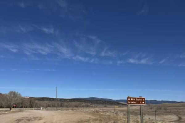
Jamison Creek
This trail comes off the highway and connects to a gully system through a high plains hunting area. The majority of the trail is relatively flat until the last section that goes into the gully. Once in the gully, many other trails can be accessed. I will update this trail system soon. The trail is r...
Learn more about Jamison Creek
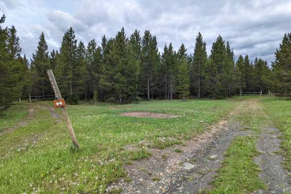
Lower Russian Youth Loop
Lower Russian Youth Loop FS 463. The trail may start out looking like it simply goes to a campsite, ride on around that campsite to find the fork marking the start of the loop. 2.4 mile loop, easy riding, mostly level and great for beginners or anyone who crashed and needs to regain their confidence...
Learn more about Lower Russian Youth Loop
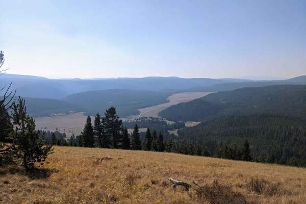
High Spring Creek
These are nice views along the middle section overlooking the valley below and Russian Flat. The ride is easy going on the western half of the trail with a few more difficult sections on the eastern half but nothing too technical. This is a nice trail for a leisurely ride to get out and enjoy the vi...
Learn more about High Spring Creek
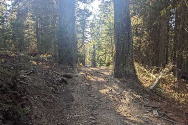
Willow Park
Willow Park is a 50-inch trail that connects the Russell Point area to the Haymaker Park area via trails 464, 189, 619, and 606. You may also see the names Willow Park, Burley Creek, Daisy Canyon, Upper Daisy, Nevada Creek, and Daisy Dean Creek on the map along this route. If you're camped out anywh...
Learn more about Willow Park
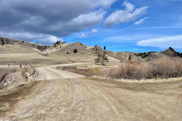
Sixteen Mile Creek Road
The track begins from the town of Maudlow from the south. From the north, it can be accessed from Meadow Creek Road via the town of Ringling. The track begins when you cross from Meagher County to Gallatin County. This is a point-to-point, one-lane dirt and gravel road with room to pass in plenty of...
Learn more about Sixteen Mile Creek Road
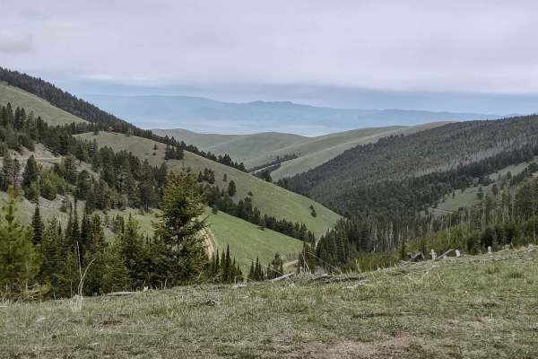
Indian Creek Road
This 10-mile trail takes you from Highway 287 near Townsend into the Helena National Forest. You go through a beautiful canyon, gain 3500 feet in elevation, and experience the majesty of Montana. The scenery is spectacular, the forest is healthy and well-maintained, and the wildlife includes deer, e...
Learn more about Indian Creek Road
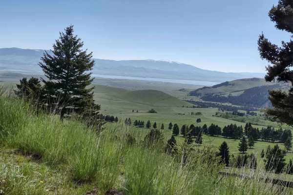
Townsend To Winston
This 68-mile trail takes you from Old Woman's Grave Road just outside of Townsend, on a winding, twisting path through the National Forest, to Winston. You will travel across the National Guard Training grounds, up through Norris Gulch, and then use these Forest Service trails: the Ahlman trail, Hog...
Learn more about Townsend To Winston
Magpie Upper
This track completes the upper portion of Magpie. It runs through the Helena National Forest to the private property boundary. There is a camping area near the end of this trail. The scenery is spectacular, both of the valley and of Canyon Ferry Lake, the forest is healthy and well-maintained, and d...
Learn more about Magpie Upper
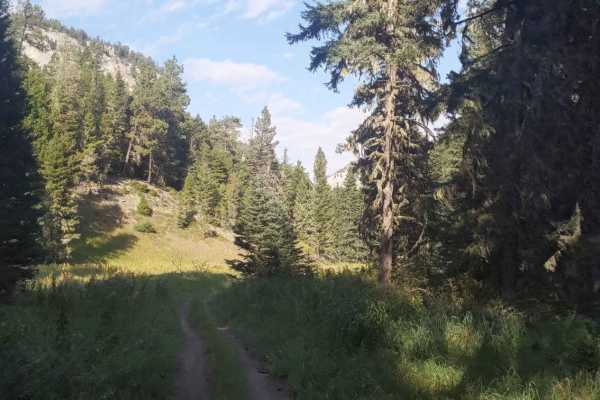
Hay Canyon Trail
Open July 1 - Oct 14. Hay Canyon Trail is in the Little Belt Mountains, located in the Lewis and Clark National Forest, Southeast of Great Falls and Northwest of Harlowton, Montana. From Hay Canyon Campground, the Eastern end of the trail goes through a canyon that has some heavily forested areas. A...
Learn more about Hay Canyon Trail
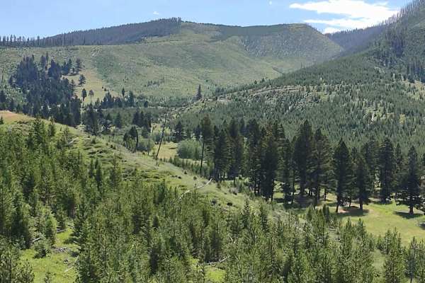
Sunshine Ridge
This track goes about 3 miles north and west of the Magpie Creek to Avalanche Creek Trail. It goes across the Helena National Forest to the boundary with private property. The highest elevation on this trail is 6944 feet. The scenery is spectacular, both of the valley and of Canyon Ferry Lake, the ...
Learn more about Sunshine Ridge
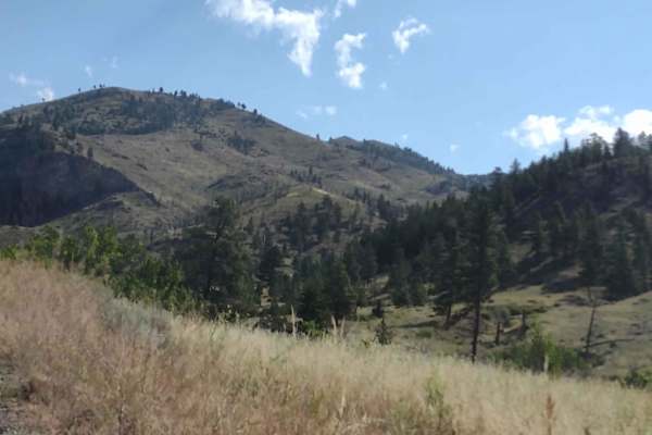
Magpie Gulch
This 8-mile track in the Helena National Forest, east of Canyon Ferry Lake, connects Magpie Ridge Trail to the Magpie Creek to Avalanche Creek Trail. You get up to 6900 feet near Hunters Gulch. The scenery is spectacular, both of the valley and of Canyon Ferry Lake; the forest is healthy and well-ma...
Learn more about Magpie Gulch
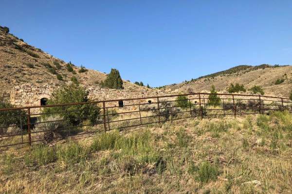
Lombard Coke Ovens
Traveling this rough clay-based gravel road between Toston and Lombard, you can expect to see range cattle, prickly pear cacti, plenty of sagebrush, and rattlesnakes. Use extreme caution on this road in the rain. Numerous washouts could make it dangerous. As you gain more than 1,300 feet in elevatio...
Learn more about Lombard Coke Ovens
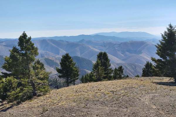
Hedges Mountain
This 3-mile RT track takes you to Hedges Mountain in the Helena National Forest at an elevation of 7131 feet. The scenery is spectacular, the forest is healthy and well-maintained, and the wildlife includes deer, elk, moose, and bears. All private property crossings are allowed if you stay on the tr...
Learn more about Hedges Mountain
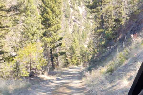
York Gulch
The York Gulch Trail connects York Road to Hedges Mountain, Oregon Gulch, Kingsberry Spur, and the Magpie Creek to Avalanche Creek Trails. You go from 3900 feet to just over 6200 feet in the Helena National Forest. The scenery is spectacular, the forest is healthy and well-maintained, and the wildli...
Learn more about York Gulch
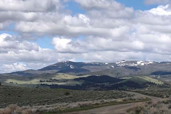
Indian Creek Road Spur 1
This 8-mile RT trail explores the Helena National Forest north of Indian Creek Road. The views of Canyon Ferry Lake and the valley are breathtaking. The forest is healthy and well-maintained. The elevation along this trail is about 5600 feet. The wildlife in this area includes elk, deer, and bears. ...
Learn more about Indian Creek Road Spur 1
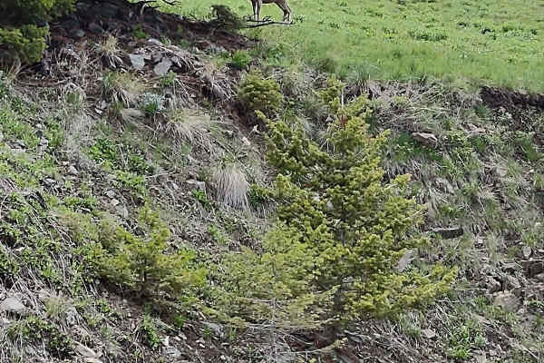
Weston Creek Lower Portion
The Weston Creek Lower Portion Trail connects Indian Creek Road Trail to the Weston Creek Upper Portion Trail, the Weston Creek Spur #1, the Merrel Springs Trail, and the Cold Springs Road Trail. It's two miles, going a bit higher into the Helena National Forest. You drive along the West Fork of In...
Learn more about Weston Creek Lower Portion
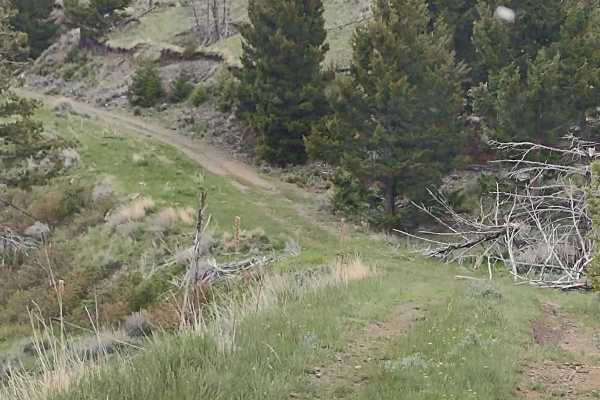
Cold Springs Road
This trail connects Weston Creek Lower Portion with Weston Creek Upper Portion by going south around Giant Hill. It's just over 4 miles one way and runs between 5300and 6200 feet in the Helena National Forest. The scenery is spectacular, the forest is healthy and well-maintained, and the wildlife in...
Learn more about Cold Springs Road
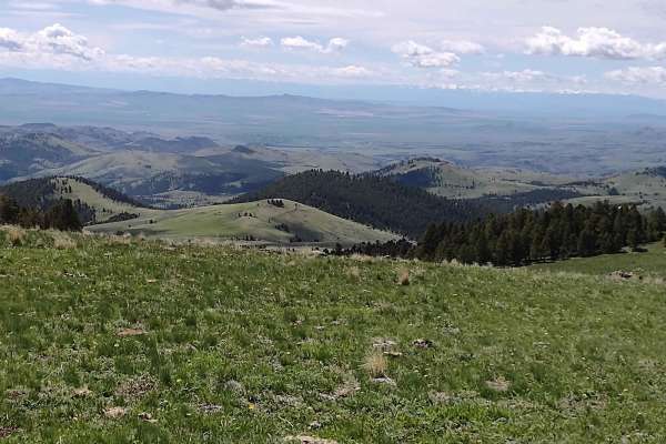
Merrel Springs
This section of the Merrel Springs Trail goes down to 5900 feet in the Helena National Forest and connects to the Weston Creek Trail. It's just under 1 mile and goes along the West Fork of Indian Creek. The scenery is spectacular, the forest is healthy and well-maintained, and the wildlife includes ...
Learn more about Merrel Springs
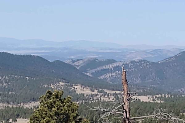
Oregon Gulch
This 5-mile trail connects Kingsbury Spur Trail to York Gulch Trail. You gain almost 2,000 feet in elevation, rising to 6,329 feet at the highest point. The scenery is spectacular, the forest is healthy and well-maintained, and the wildlife includes deer, elk, moose, and bears. All private property ...
Learn more about Oregon Gulch
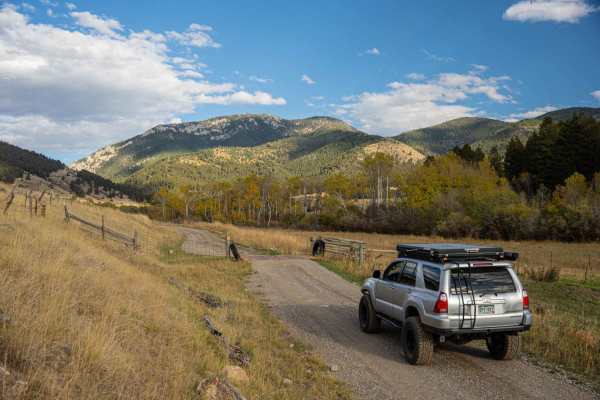
Flathead Pass
Flathead Pass is a short and sweet, easy trail filled with great views, a few off-camber sections, and some small to medium washouts. The trail starts after turning off Rocky Mountain Road and onto Flathead Pass Road. At first, it may seem like you are driving through a private ranch, but shortly af...
Learn more about Flathead Pass
Beginner ATV trails near White Sulphur Springs, Montana
Explore ATV-friendly trails near you. These trails are accessible for vehicles up to 50 inches wide, perfect for ATVs and smaller off-road machines.
Jamison Creek
This trail comes off the highway and connects to a gully system through a high plains hunting area. The majority of the trail is relatively flat until the last section that goes into the gully. Once in the gully, many other trails can be accessed. I will update this trail system soon. The trail is r...
Learn more about Jamison Creek
Lower Russian Youth Loop
Lower Russian Youth Loop FS 463. The trail may start out looking like it simply goes to a campsite, ride on around that campsite to find the fork marking the start of the loop. 2.4 mile loop, easy riding, mostly level and great for beginners or anyone who crashed and needs to regain their confidence...
Learn more about Lower Russian Youth Loop
High Spring Creek
These are nice views along the middle section overlooking the valley below and Russian Flat. The ride is easy going on the western half of the trail with a few more difficult sections on the eastern half but nothing too technical. This is a nice trail for a leisurely ride to get out and enjoy the vi...
Learn more about High Spring Creek
Willow Park
Willow Park is a 50-inch trail that connects the Russell Point area to the Haymaker Park area via trails 464, 189, 619, and 606. You may also see the names Willow Park, Burley Creek, Daisy Canyon, Upper Daisy, Nevada Creek, and Daisy Dean Creek on the map along this route. If you're camped out anywh...
Learn more about Willow Park
Beginner UTV/side-by-side trails near White Sulphur Springs, Montana
Find UTV and side-by-side trails near you. These trails accommodate vehicles up to 60 inches wide, ideal for UTVs, side-by-sides, and wider off-road rigs.
Jamison Creek
This trail comes off the highway and connects to a gully system through a high plains hunting area. The majority of the trail is relatively flat until the last section that goes into the gully. Once in the gully, many other trails can be accessed. I will update this trail system soon. The trail is r...
Learn more about Jamison Creek
Sixteen Mile Creek Road
The track begins from the town of Maudlow from the south. From the north, it can be accessed from Meadow Creek Road via the town of Ringling. The track begins when you cross from Meagher County to Gallatin County. This is a point-to-point, one-lane dirt and gravel road with room to pass in plenty of...
Learn more about Sixteen Mile Creek Road
Indian Creek Road
This 10-mile trail takes you from Highway 287 near Townsend into the Helena National Forest. You go through a beautiful canyon, gain 3500 feet in elevation, and experience the majesty of Montana. The scenery is spectacular, the forest is healthy and well-maintained, and the wildlife includes deer, e...
Learn more about Indian Creek Road
Townsend To Winston
This 68-mile trail takes you from Old Woman's Grave Road just outside of Townsend, on a winding, twisting path through the National Forest, to Winston. You will travel across the National Guard Training grounds, up through Norris Gulch, and then use these Forest Service trails: the Ahlman trail, Hog...
Learn more about Townsend To Winston
The onX Offroad Difference
onX Offroad combines trail photos, descriptions, difficulty ratings, width restrictions, seasonality, and more in a user-friendly interface. Available on all devices, with offline access and full compatibility with CarPlay and Android Auto. Discover what you're missing today!
Open Trail Map