
Beginner Off-Road Trails
Near Walnut Hill, Tennessee
Explore All Beginner Trails Near Walnut Hill, Tennessee
Beginner Off-Road Trails Near Walnut Hill, Tennessee
Discover the best beginner-friendly off-road trails near you. These easier, lower-rated trails are a great place to start — browse trail maps, check difficulty ratings, and find your next adventure.
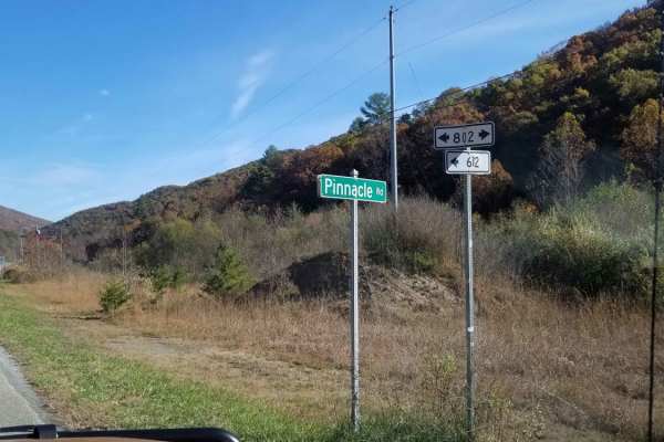
Clinch Mountain Fire Tower
Clinch Mountain Fire Tower is an ideal scenic route for beginners, families, and overland travelers looking for stunning Appalachian vistas without the stress of highly technical terrain. This unpaved mountain passage winds up and over the ridge of Clinch Mountain, connecting the historic community ...
Learn more about Clinch Mountain Fire Tower
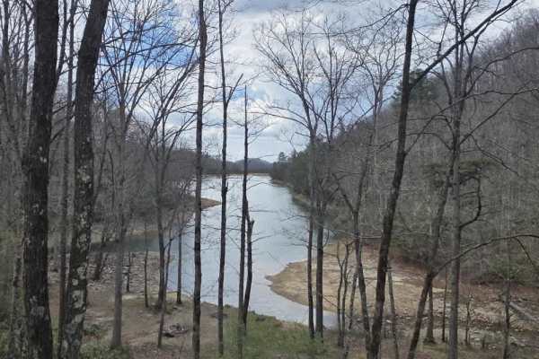
Flatwoods Road
Flatwoods Road is an easy forest road with a gravel surface that offers a relaxed and accessible drive through a natural setting. The trail is generally about one and a half lanes wide, providing enough space for comfortable travel with occasional pull-offs and parking areas scattered along the rout...
Learn more about Flatwoods Road
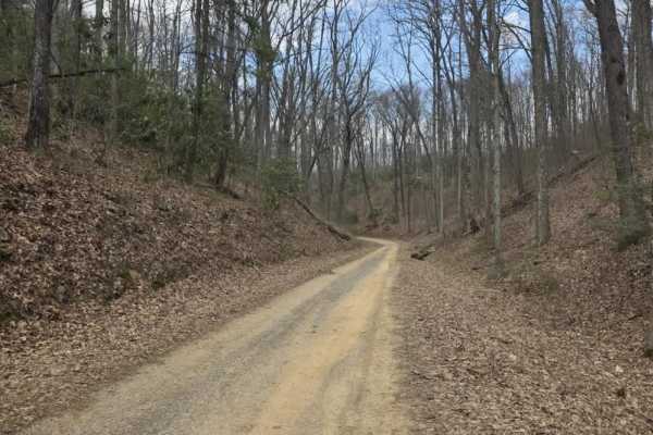
Big Creek Road
Big Creek Road is a moderately easy gravel route within Cherokee National Forest that serves as a connector to Flatwoods and Old Flatwoods. The surface is primarily gravel with a mix of potholes and occasional rough sections, but the trail remains generally accessible under normal conditions. Along ...
Learn more about Big Creek Road
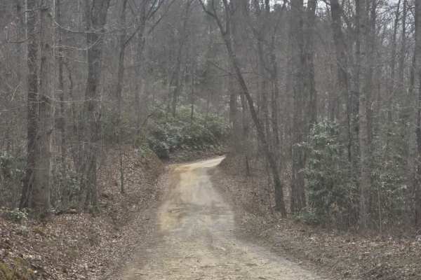
Big Creek South
Big Creek South is a moderately easy gravel route that offers a straightforward drive with a few areas requiring attention. The surface is primarily gravel with scattered mud holes and ruts, including some deeper sections along the edges where vehicles have driven off the main line. These deeper are...
Learn more about Big Creek South
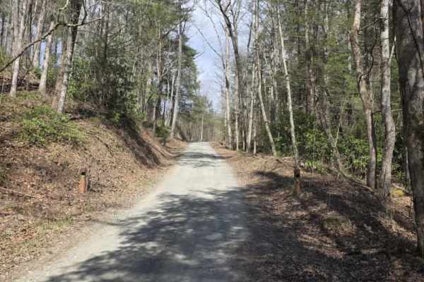
Old Flatwoods
Old Flatwoods is an easy gravel route located within the Cherokee National Forest, offering a relaxed drive with access to a variety of nearby recreational opportunities. The trail surface is generally maintained with gentle grades, making it accessible for most vehicles under normal conditions. The...
Learn more about Old Flatwoods
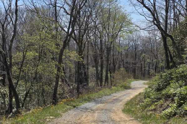
Panhandle Road Crest
Panhandle Road Crest is an easy continuation of Panhandle Road that offers a mix of gravel after a brief paved section (not mapped on OnX) as it climbs toward a higher elevation. The route remains primarily a single-lane road with periodic pull-offs, allowing for passing when needed. The surface is ...
Learn more about Panhandle Road Crest
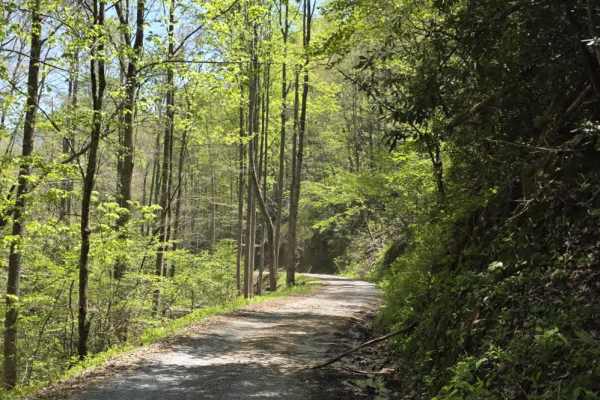
Panhandle Road
Panhandle Road is an easy gravel forest road that serves as a primary access route to several notable destinations in the area, including Holston Mountain, the Holston Mountain Tower, and the RF-4C Phantom Jet Crash Site Memorial. The road is generally a single-lane gravel route with multiple pull-o...
Learn more about Panhandle Road
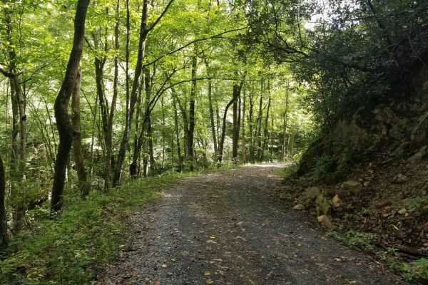
Jacobs Creek
This is a combination of gravel and dirt. It starts in the Jacobs Creek area and travels through the Cherokee National Forest from Tennessee into Virginia. There are a few camping locations along the way, including one beside the creek on the lower section. This is suitable for most AWD and all 4WD ...
Learn more about Jacobs Creek
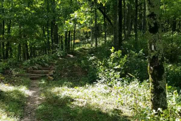
McQueen's Gap
This is the only unpaved route across South Holston Mountain. There are many off shoot trails that are open seasonally, but the main route isn't ever closed. You can access the Appalachian Trail from the precipice of the trail. There is an old sand mine coming up from the Denton Valley side, and ma...
Learn more about McQueen's Gap
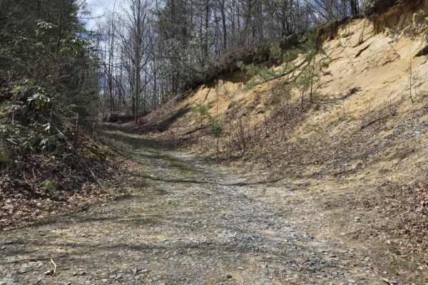
McQueen's Gap Spur - FS 60902
McQueen's Gap Spur (FS 60902) is a narrow, more technical dirt trail that requires consistent driver attention from start to finish. The route is heavily defined by multiple off-camber sections that challenge vehicle balance and traction, especially when combined with muddy conditions. The trail sur...
Learn more about McQueen's Gap Spur - FS 60902
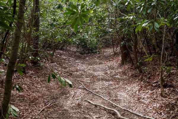
526
Trail 526 begins as a relatively easy route with small loose rock and occasional puddles, winding through dense rhododendron thickets that create a lush, almost jungle-like atmosphere. The trail passes a storm shelter and gradually narrows as the vegetation thickens into a low canopy tunnel. While t...
Learn more about 526
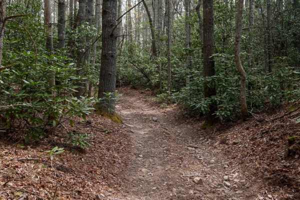
326
Trail 326 forms a scenic .6-mile loop branching off Trail 26, offering a mellow ride through thick rhododendron thickets and dense canopy cover that gives the route a lush, jungle-like ambiance. The trail is mostly smooth with a few small roots, puddles, and shallow ruts, making it accessible and en...
Learn more about 326
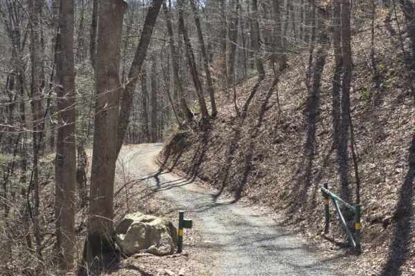
Cedar Gap
Cedar Gap Trail is an easy dirt route located within Cherokee National Forest, offering a quiet out-and-back drive through lightly maintained forest terrain. The trail is primarily a single-lane dirt path with periodic pull-offs and larger clearings that allow vehicles to pass or stop comfortably. O...
Learn more about Cedar Gap
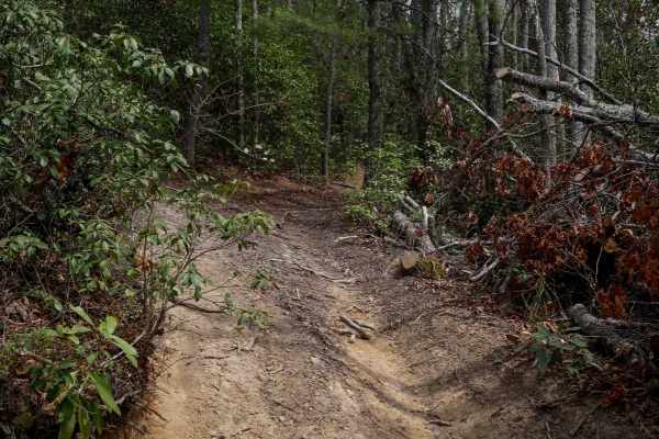
24
Trail 24 is a short, quarter-mile connector between Trails 26 and 28. It features one steep corner that switchbacks up the hill, followed by a steep descent down to 28. The trail is mostly smooth with hardly any rocks, just shallow ruts. It's lined with rhododendron, and logs have been cut back to c...
Learn more about 24
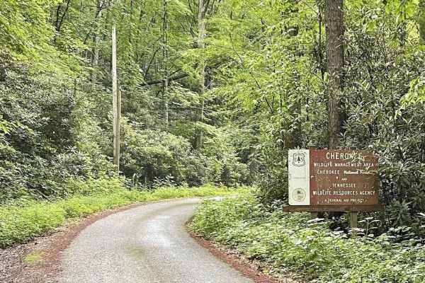
Little Stoney Creek/Laurel Fork
A nice, simple trail connecting Watauga Lake and Dennis Cove Campground through the Cherokee National Forest. There are a few decent camping spots, no cellular service, and minimal traffic. However, it is single lane in most places and extremely curvy with elevation changes and many blind spots, so ...
Learn more about Little Stoney Creek/Laurel Fork
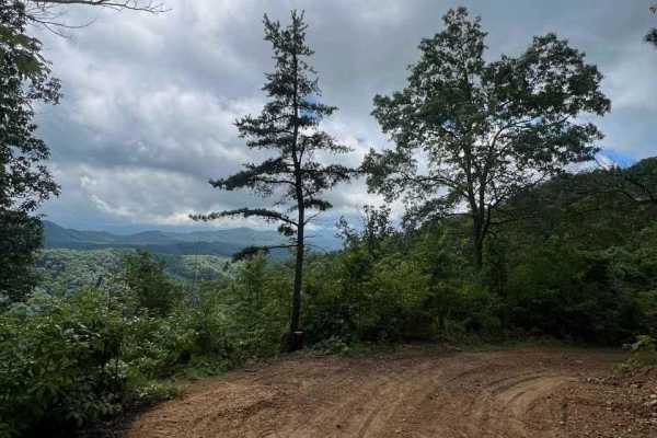
Horse Cove Gap
Horse Cove Gap is an out-and-back trail that offers breathtaking views of the Blue Ridge Mountains. The trail winds through lush forests, gradually leading to several overlooks that provide panoramic vistas of the surrounding landscape. The scenery is truly spectacular, with the rolling hills and mo...
Learn more about Horse Cove Gap
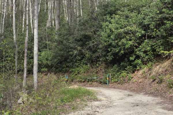
Little Pond Mountain
Little Pond Mountain is a sandy spur off Little Stoney Creek that offers a slightly more varied driving experience while remaining approachable for most drivers. The surface is primarily sand with intermittent rocky sections that add light variation. Traction can change depending on conditions, and ...
Learn more about Little Pond Mountain
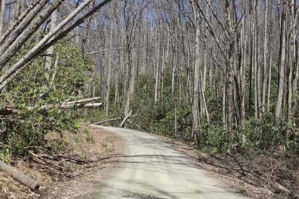
Laurel Fork
Laurel Fork is a scenic gravel route that offers a relaxed drive with occasional exposure and limited passing opportunities. The road is primarily one lane with tight curves, requiring drivers to remain alert for oncoming traffic and use designated pull-offs when available. The surface is generally ...
Learn more about Laurel Fork
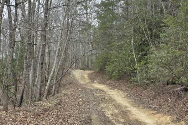
Upper Briar Creek Spur - FS 4354A
Upper Briar Creek Spur (FS 4354A) is a moderately technical trail that begins with immediate obstacles and maintains a more rugged character throughout. Early in the route, a downed tree creates a low-clearance hazard that can be especially problematic for lifted vehicles, requiring careful approach...
Learn more about Upper Briar Creek Spur - FS 4354A
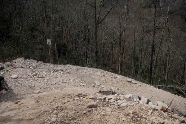
22
Trail 22 begins with a smooth, gradual climb from Trail 1 before rounding a blind corner into a series of descending switchbacks down the mountainside. Most turns are wide and manageable, though a few are steeper and tighter with loose rock and dirt under the tire. A wide shoulder on a couple of the...
Learn more about 22
Beginner ATV trails near Walnut Hill, Tennessee
Explore ATV-friendly trails near you. These trails are accessible for vehicles up to 50 inches wide, perfect for ATVs and smaller off-road machines.
526
Trail 526 begins as a relatively easy route with small loose rock and occasional puddles, winding through dense rhododendron thickets that create a lush, almost jungle-like atmosphere. The trail passes a storm shelter and gradually narrows as the vegetation thickens into a low canopy tunnel. While t...
Learn more about 526
326
Trail 326 forms a scenic .6-mile loop branching off Trail 26, offering a mellow ride through thick rhododendron thickets and dense canopy cover that gives the route a lush, jungle-like ambiance. The trail is mostly smooth with a few small roots, puddles, and shallow ruts, making it accessible and en...
Learn more about 326
Cedar Gap
Cedar Gap Trail is an easy dirt route located within Cherokee National Forest, offering a quiet out-and-back drive through lightly maintained forest terrain. The trail is primarily a single-lane dirt path with periodic pull-offs and larger clearings that allow vehicles to pass or stop comfortably. O...
Learn more about Cedar Gap
24
Trail 24 is a short, quarter-mile connector between Trails 26 and 28. It features one steep corner that switchbacks up the hill, followed by a steep descent down to 28. The trail is mostly smooth with hardly any rocks, just shallow ruts. It's lined with rhododendron, and logs have been cut back to c...
Learn more about 24
Beginner UTV/side-by-side trails near Walnut Hill, Tennessee
Find UTV and side-by-side trails near you. These trails accommodate vehicles up to 60 inches wide, ideal for UTVs, side-by-sides, and wider off-road rigs.
526
Trail 526 begins as a relatively easy route with small loose rock and occasional puddles, winding through dense rhododendron thickets that create a lush, almost jungle-like atmosphere. The trail passes a storm shelter and gradually narrows as the vegetation thickens into a low canopy tunnel. While t...
Learn more about 526
326
Trail 326 forms a scenic .6-mile loop branching off Trail 26, offering a mellow ride through thick rhododendron thickets and dense canopy cover that gives the route a lush, jungle-like ambiance. The trail is mostly smooth with a few small roots, puddles, and shallow ruts, making it accessible and en...
Learn more about 326
Cedar Gap
Cedar Gap Trail is an easy dirt route located within Cherokee National Forest, offering a quiet out-and-back drive through lightly maintained forest terrain. The trail is primarily a single-lane dirt path with periodic pull-offs and larger clearings that allow vehicles to pass or stop comfortably. O...
Learn more about Cedar Gap
24
Trail 24 is a short, quarter-mile connector between Trails 26 and 28. It features one steep corner that switchbacks up the hill, followed by a steep descent down to 28. The trail is mostly smooth with hardly any rocks, just shallow ruts. It's lined with rhododendron, and logs have been cut back to c...
Learn more about 24
The onX Offroad Difference
onX Offroad combines trail photos, descriptions, difficulty ratings, width restrictions, seasonality, and more in a user-friendly interface. Available on all devices, with offline access and full compatibility with CarPlay and Android Auto. Discover what you're missing today!
Open Trail Map