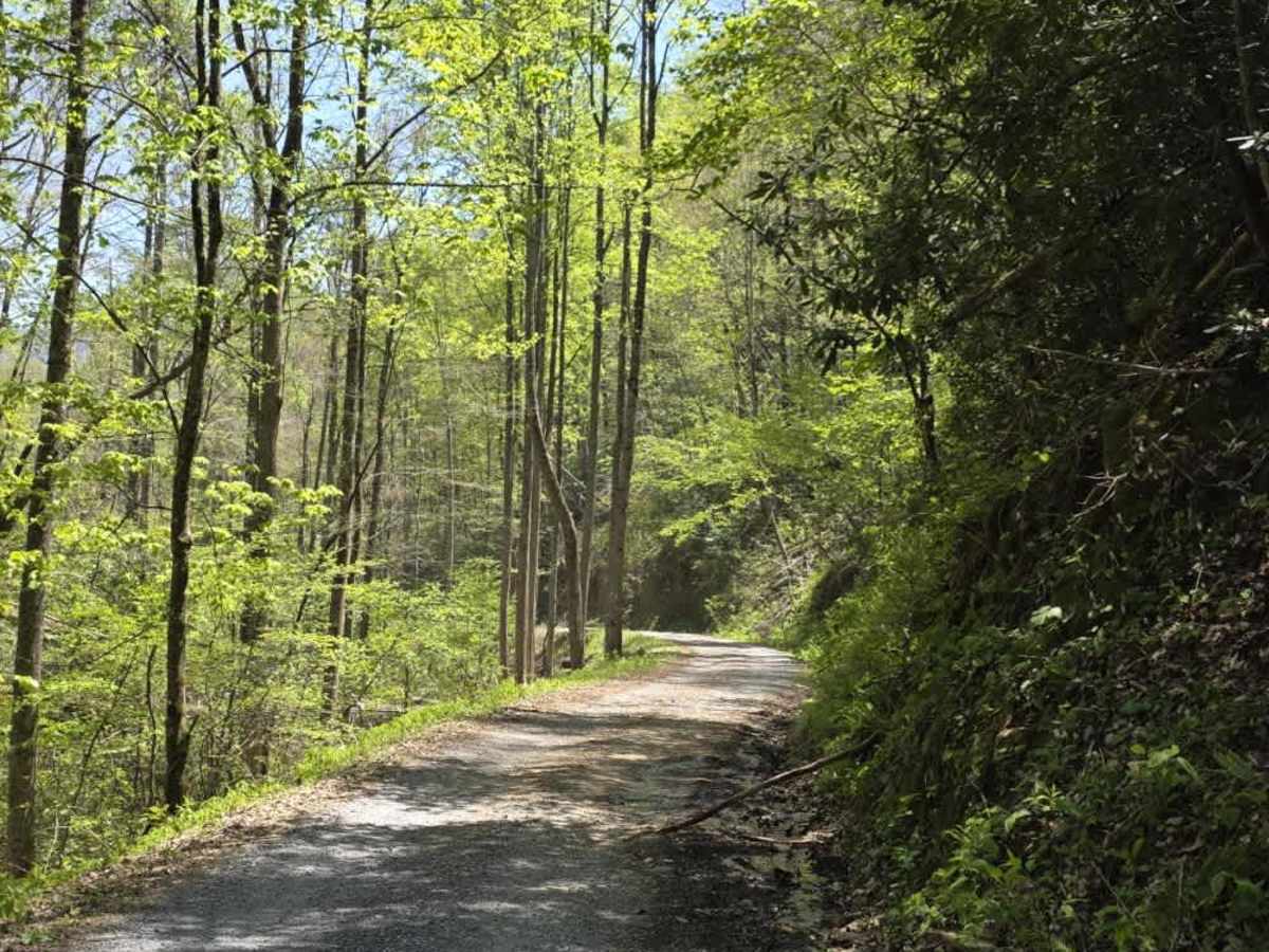
Trail Overview
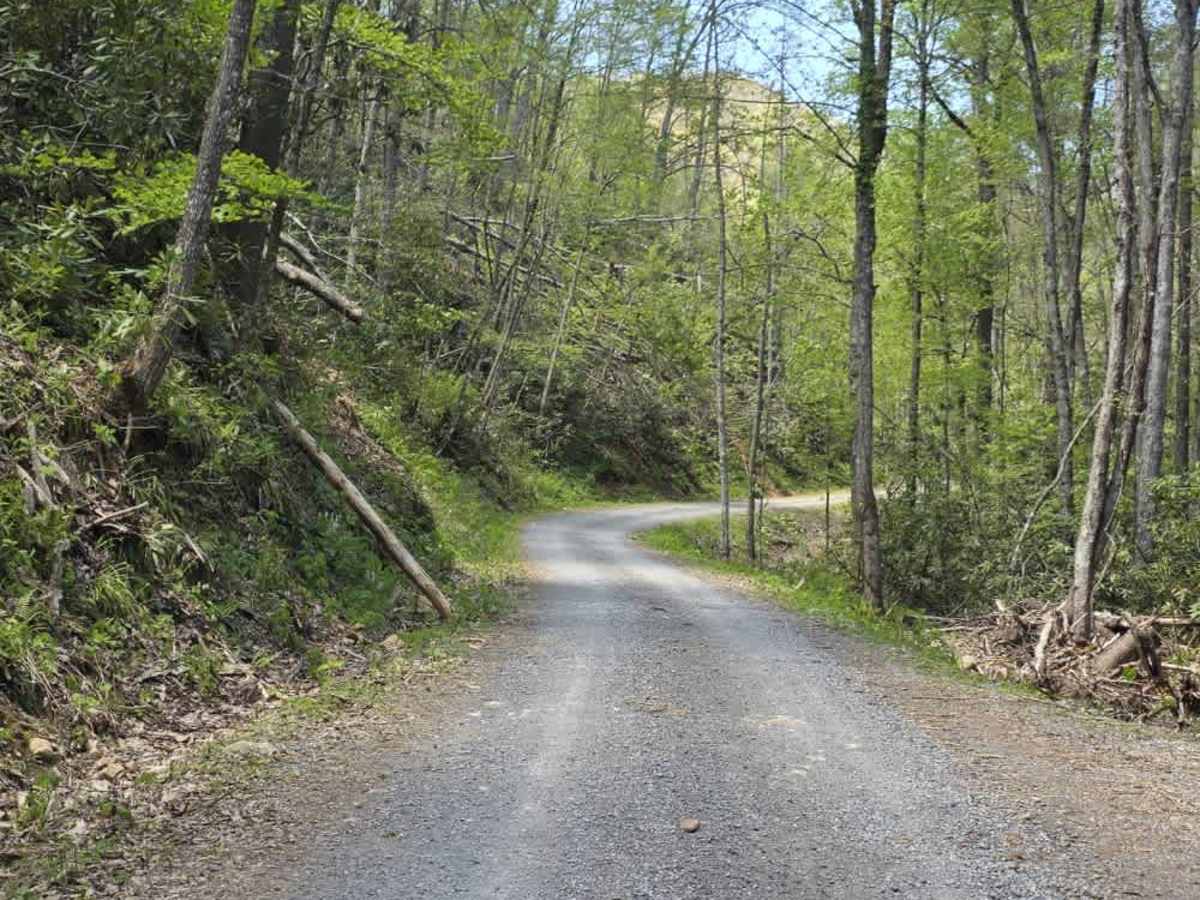
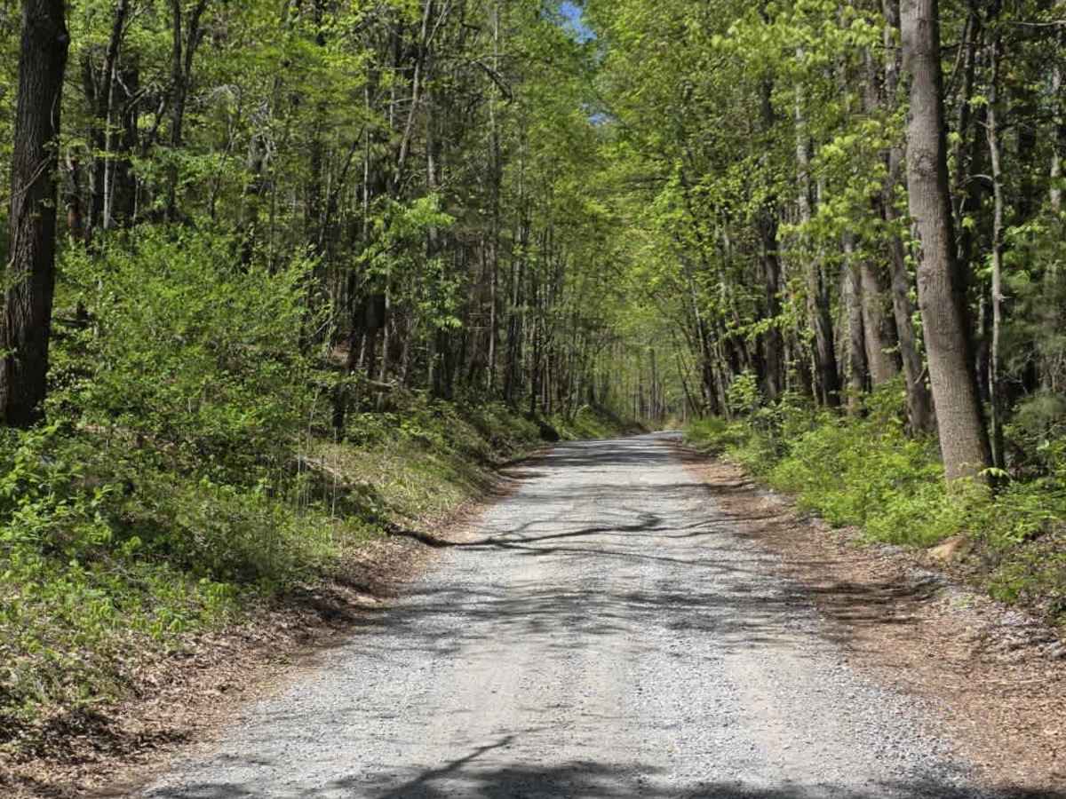
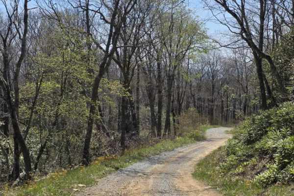
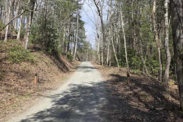
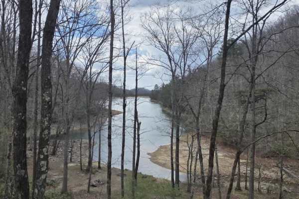
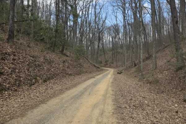
Panhandle Road is an easy gravel forest road that serves as a primary access route to several notable destinations in the area, including Holston Mountain, the Holston Mountain Tower, and the RF-4C Phantom Jet Crash Site Memorial. The road is generally a single-lane gravel route with multiple pull-offs, allowing vehicles to pass when needed.
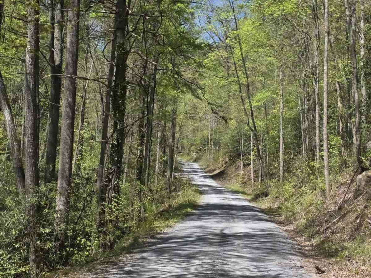
The surface is consistent and straightforward, though it can become narrow in certain sections and may hold water after heavy rain. These wet areas are typically minor and do not significantly impact drivability under normal conditions. The route is best suited as a connector to other trails and points of interest, offering a relaxed drive with minimal obstacles. As always, remain on the designated roadway and be mindful of changing conditions after rainfall.
Difficulty
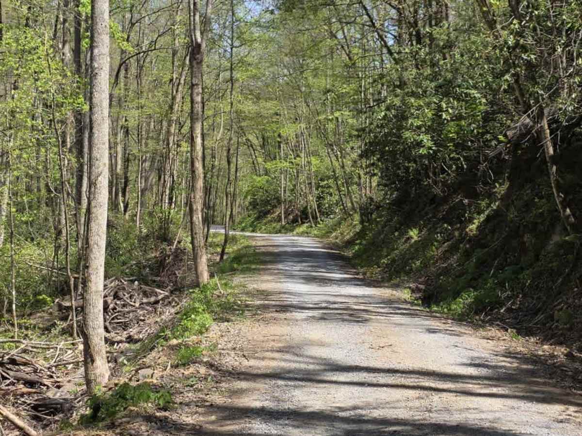
Panhandle Road is rated a 1 due to its maintained gravel surface, gentle grades, and lack of sustained obstacles. While the road narrows in places and may have standing water after rain, these conditions do not introduce significant clearance or traction challenges.
The presence of pull-offs allows for manageable passing, and the overall terrain remains non-technical. The sustained experience aligns with an easy dirt or rocky road suitable for most 4WD and high-clearance 2WD vehicles, and is easily manageable by 2WD vehicles under normal conditions.