
Beginner Off-Road Trails
Near Troy, Idaho
Explore All Beginner Trails Near Troy, Idaho
Beginner Off-Road Trails Near Troy, Idaho
Discover the best beginner-friendly off-road trails near you. These easier, lower-rated trails are a great place to start — browse trail maps, check difficulty ratings, and find your next adventure.
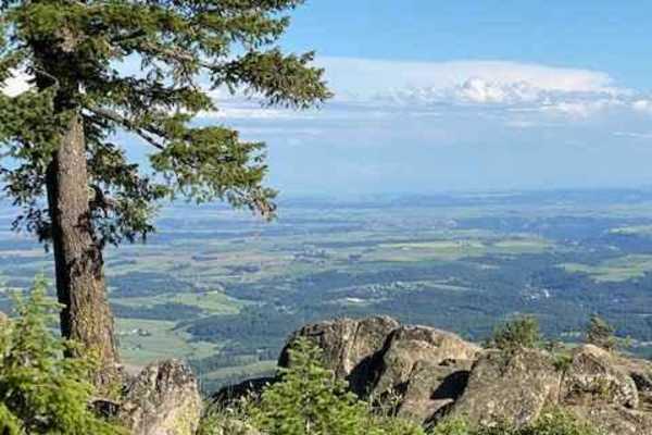
Moscow Mountain Lookout
This is a short but fun ride up to the Moscow Mountain lookout, which resides on the East Summit of Moscow Mountain. This trail is mostly dirt, with the first several hundred yards made up of large 2" gravel rock. This trail is relatively wide for a good portion before turning to a narrow two-track ...
Learn more about Moscow Mountain Lookout
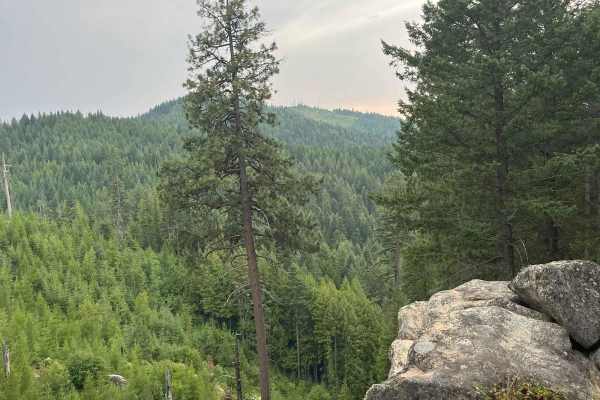
Moscow Mtn Road
This is a county road only open from June 1-November 7 to motorized traffic, with gates closed during winter. This route is from gate to gate over Moscow Mountain through the woods. There is parking just past the Moscow side gate. The road is nice but narrow in parts--lots of mountain biking, hiking...
Learn more about Moscow Mtn Road
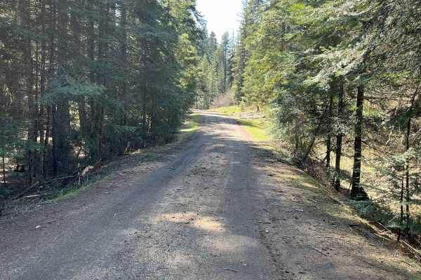
East Fork Big Bear Creek
This trail is just over 5 miles one way on an old logging road. One spot is a steeper narrow area. It's an overall easy ride with many additional trails off it. Gates on both sides are 50 inches wide or less. You'll travel on Forest Service 4707 East Fork Big Bear Creek. Expect water puddles if ridi...
Learn more about East Fork Big Bear Creek
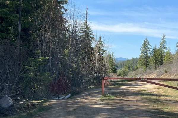
End of Brush Creek Road
Start at the end of Brush Creek Road around the gate and take it to the end of the road. Part of the route goes up and over the hill to the end of the road and the other part takes a lower road to end at private property. It's an easy 7.4-mile ride up and back on old logging roads with runoff ridges...
Learn more about End of Brush Creek Road
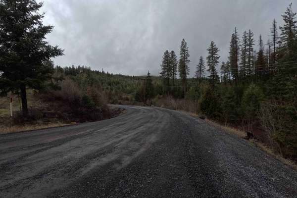
Brush Creek - Trail 289
Brush Creek is a 2.7-mile out-and-back gravel road following a creek of the same name. The route terminates at a gate with a 50-inch width restriction located just past a three-way intersection. The final section of the trail transitions from gravel to dirt, which becomes slick, soft mud in wet cond...
Learn more about Brush Creek - Trail 289
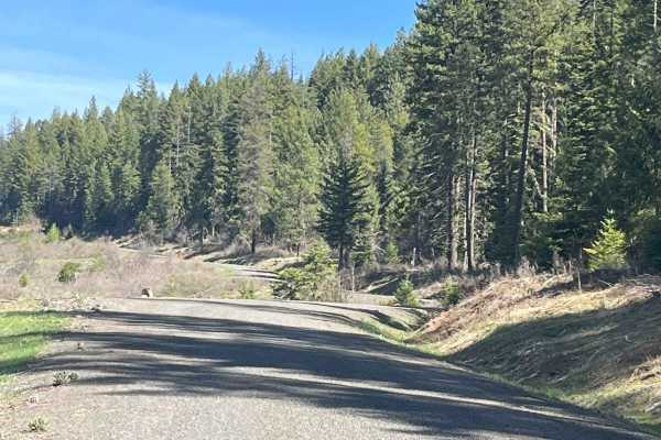
Cherry Butte Lower Road
This is an easy ride off the Brush Creek main road, around a gate that is 50 inches wide, maximum. The road past the gate is a logging road that winds through clear cuts. The road has runoff ridges along the way. This trail takes the lower road around Cherry Butte and dead-ends 5.6 miles up and back...
Learn more about Cherry Butte Lower Road
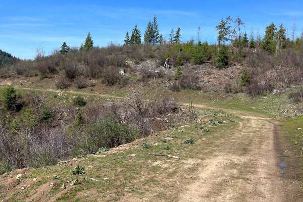
Bing Cherry Trail
Off Cherry Butte Road, this is an older logging road through clearcut until it turns into more of a trail on Forest Service Road 3850 to Bing Cherry. It connects at the other end to Vasser Meadow Road. It's an overall easy ride. Two parts of the trail are narrower and brushy before meeting back up w...
Learn more about Bing Cherry Trail
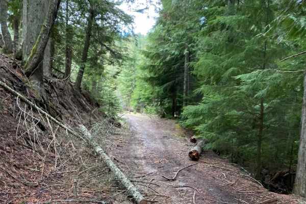
Boundary Point
This trail runs through timbered areas, with a good portion running through thick darker timbered areas making for a neat experience. This trail is not highly maintained so there is a fair amount of brush on either side of the trail in some portions. Expect to cross over and under blown-down trees. ...
Learn more about Boundary Point
Ruby Creek
Starting right at the trailhead, this is the main trail in the Ruby Creek/Mt. Margaret trail system. It is a relatively easy, two-track trail with some ruts, potholes, and washes but overall is a very easy trail to build loops from and access the other trails in the area. There are several signs alo...
Learn more about Ruby Creek
Flat Creek
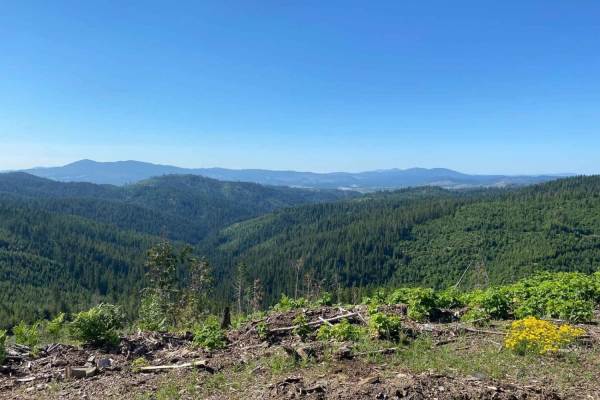
Flat Creek Trail takes you from the Ruby Creek Trailhead to Mica Mountain. This trail has a variety of surfaces, trail widths, and overall conditions throughout and presents an enjoyable trip for riders of various skill levels. There are a few steep climbs, washed-out ruts, water bars, and kelly hum...
Learn more about Flat Creek
Little Bear
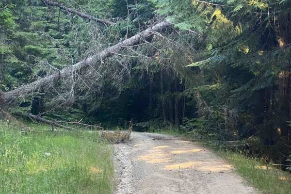
Little Bear is a nice short trail that connects Ruby Creek Trail to Flat Creek Trail. This trail has some deep water ruts and a fair amount of rock in the trail. This dirt trail is almost entirely a climb/descent from start to finish, with some great banked corners that make for a short, fun ride.
Learn more about Little Bear
Jerome Creek - FS 788
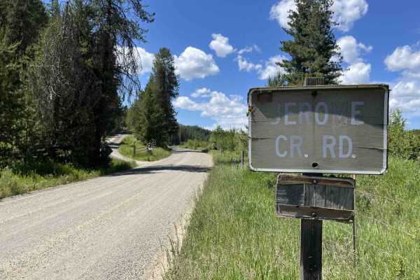
Jerome Creek (FS 788) is a 10.4-mile, well-maintained gravel road loop that starts near Idaho Route 6 and climbs up the southeast side of Gold Hill before turning back down and reconnecting with itself. For the first 3 miles, Jerome Creek crosses several parcels of private property;fortunately, thes...
Learn more about Jerome Creek - FS 788
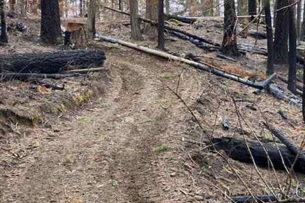
Kiawa Creek Trail
Kiawa Creek Trail offers a moderately challenging offroad adventure through North-Central Idaho's dense timberlands, making it an excellent choice for drivers of high-clearance four-wheel-drive vehicles and SxSs looking to experience rugged terrain with spectacular mountain views. Spanning approxima...
Learn more about Kiawa Creek Trail
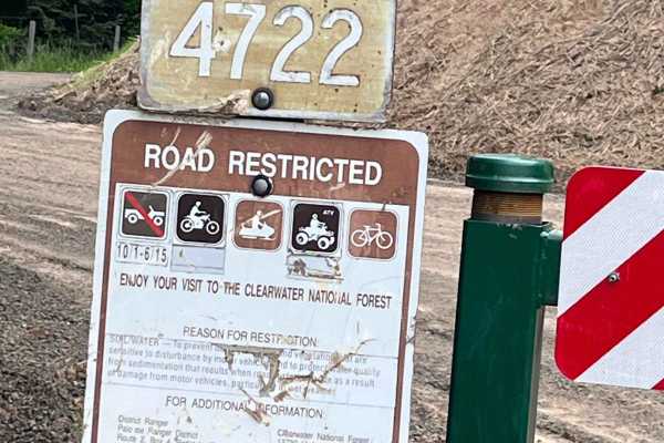
Little Bolder - FS 4772
Forest service road 4772 gated road for 50 inch or less. Parking area nearby and the Little Bolder campground, along with pit toilets. Rock dirt road with lots of spur roads to go on off this main road. Watch for logging activity at the time of logging the trail. This is an old logging road that has...
Learn more about Little Bolder - FS 4772
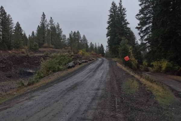
Schoolhouse Gulch - FS 4761
Schoolhouse Gulch is a 7-mile out-and-back trail that starts near Little Boulder Campground. It is a slow and steady climb for its entire length, ending at a small clearing. The road surface is mostly smooth gravel, with a few sections of slick mud after a rain. There are a couple of areas where the...
Learn more about Schoolhouse Gulch - FS 4761
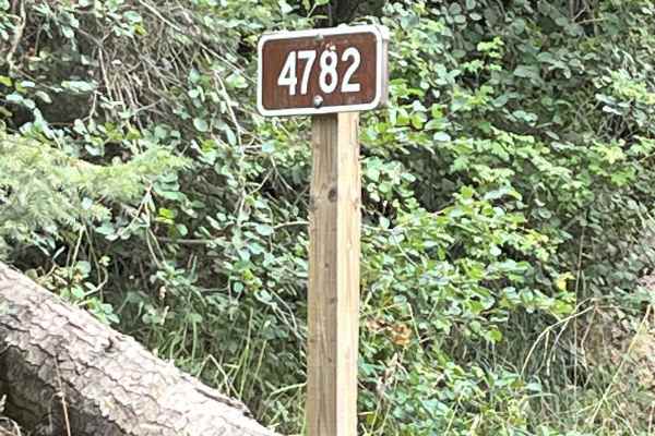
Road 4782
Road 4782 is just off Little Sand Creek Road, around a gate. Parking and camping are about less than a mile away at Laird Park. The first part of this gravel logging road is on Potlatch land, so a permit is required, but most of this 4.5-mile one-way road is on Forest Service ground and ends at trai...
Learn more about Road 4782
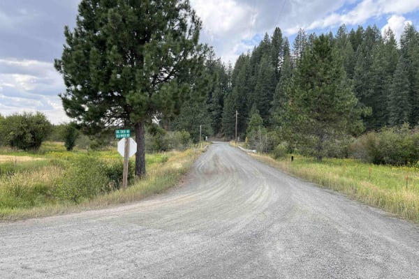
Big Creek Road - FS 370
Big Creek Road is a 13.5-mile out-and-back gravel road that climbs from ID6 around the north side of Gold Hill and serves as an access point to many other trails in the Gold Hill trail network. The first 8.4 miles weave in and out of private property and private timberland. Big Creek remains a well-...
Learn more about Big Creek Road - FS 370
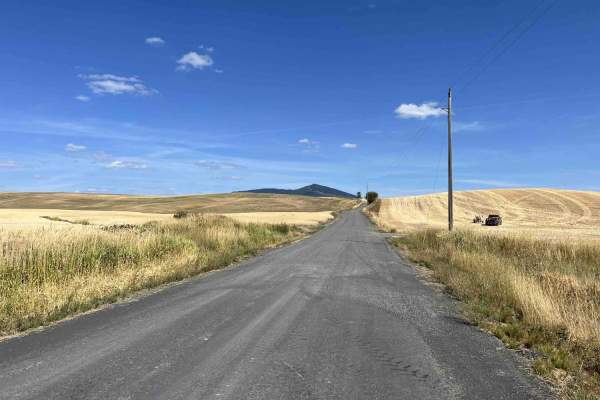
Gold Hill - FS 770
Gold Hill (FS 770) is a 5.6-mile, point-to-point trail that takes drivers from US Highway 95 up into the Gold Hill trail network. Gold Hill starts in rolling wheat fields and ends up in the hills at an intersection with Big Creek (FS 370). Coming from the west side, Gold Hill is a slow but steady cl...
Learn more about Gold Hill - FS 770
Akers-Excavation Trail 8240
This trail starts out about as wide as a full road--very smooth, pretty wide open, and flat. It takes you back into the timber and stays this way for the majority of the ride before it narrows down into a true 50-inch trail that, while short, is quite a bit of fun. This is a section of a longer trai...
Learn more about Akers-Excavation Trail 8240
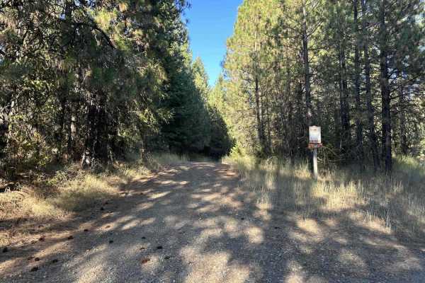
Hoteling Creek C - FS 73680
Hoteling Creek C is a 1-mile out-and-back trail that breaks off from Hoteling Creek. It continues north along the east side of Gold Hill before ending at an open area with space for several vehicles to camp or have lunch. FS 73680 is heavily overgrown in some spots; vehicles larger than quads will g...
Learn more about Hoteling Creek C - FS 73680
Beginner ATV trails near Troy, Idaho
Explore ATV-friendly trails near you. These trails are accessible for vehicles up to 50 inches wide, perfect for ATVs and smaller off-road machines.
Moscow Mountain Lookout
This is a short but fun ride up to the Moscow Mountain lookout, which resides on the East Summit of Moscow Mountain. This trail is mostly dirt, with the first several hundred yards made up of large 2" gravel rock. This trail is relatively wide for a good portion before turning to a narrow two-track ...
Learn more about Moscow Mountain Lookout
Moscow Mtn Road
This is a county road only open from June 1-November 7 to motorized traffic, with gates closed during winter. This route is from gate to gate over Moscow Mountain through the woods. There is parking just past the Moscow side gate. The road is nice but narrow in parts--lots of mountain biking, hiking...
Learn more about Moscow Mtn Road
East Fork Big Bear Creek
This trail is just over 5 miles one way on an old logging road. One spot is a steeper narrow area. It's an overall easy ride with many additional trails off it. Gates on both sides are 50 inches wide or less. You'll travel on Forest Service 4707 East Fork Big Bear Creek. Expect water puddles if ridi...
Learn more about East Fork Big Bear Creek
End of Brush Creek Road
Start at the end of Brush Creek Road around the gate and take it to the end of the road. Part of the route goes up and over the hill to the end of the road and the other part takes a lower road to end at private property. It's an easy 7.4-mile ride up and back on old logging roads with runoff ridges...
Learn more about End of Brush Creek Road
Beginner UTV/side-by-side trails near Troy, Idaho
Find UTV and side-by-side trails near you. These trails accommodate vehicles up to 60 inches wide, ideal for UTVs, side-by-sides, and wider off-road rigs.
Moscow Mountain Lookout
This is a short but fun ride up to the Moscow Mountain lookout, which resides on the East Summit of Moscow Mountain. This trail is mostly dirt, with the first several hundred yards made up of large 2" gravel rock. This trail is relatively wide for a good portion before turning to a narrow two-track ...
Learn more about Moscow Mountain Lookout
Moscow Mtn Road
This is a county road only open from June 1-November 7 to motorized traffic, with gates closed during winter. This route is from gate to gate over Moscow Mountain through the woods. There is parking just past the Moscow side gate. The road is nice but narrow in parts--lots of mountain biking, hiking...
Learn more about Moscow Mtn Road
Brush Creek - Trail 289
Brush Creek is a 2.7-mile out-and-back gravel road following a creek of the same name. The route terminates at a gate with a 50-inch width restriction located just past a three-way intersection. The final section of the trail transitions from gravel to dirt, which becomes slick, soft mud in wet cond...
Learn more about Brush Creek - Trail 289
Jerome Creek - FS 788
Jerome Creek (FS 788) is a 10.4-mile, well-maintained gravel road loop that starts near Idaho Route 6 and climbs up the southeast side of Gold Hill before turning back down and reconnecting with itself. For the first 3 miles, Jerome Creek crosses several parcels of private property;fortunately, thes...
Learn more about Jerome Creek - FS 788
The onX Offroad Difference
onX Offroad combines trail photos, descriptions, difficulty ratings, width restrictions, seasonality, and more in a user-friendly interface. Available on all devices, with offline access and full compatibility with CarPlay and Android Auto. Discover what you're missing today!
Open Trail Map